



- Region
- NM, USA
- Country
- United States
- Best for
- hiking
- Best season
- Spring, Summer
- Permits
- Confirm current permit requirements and ac…
- Managed by
- Bureau of Land Management, Las Cruces District Office
Plan with verified data
Organ Mountains Wilderness trip tools
Tools for a trip here
Picked for how, when and where you're going. Free, no signup.
Photos of Organ Mountains Wilderness
How to get there
Use Las Cruces as the nearby starting point. For the western Baylor Pass trailhead, leave US Highway 70 approximately one mile west of Organ and drive approximately two miles south on Baylor Canyon Road; the parking area is on the east side of the road. For Dripping Springs Natural Area, take Interstate 25 Exit 1 and follow University Avenue/Dripping Springs Road east to its end. The natural area is 10 miles east of Las Cruces. Contact the BLM Las Cruces District Office at 575-525-4300 for current information.
- Baylor Pass Trail parking area
Western access to the Baylor Pass National Recreation Trail, on the east side of Baylor Canyon Road. From the parking area, hike east into the wilderness toward Baylor Pass.
- Aguirre Spring loop road
Eastern endpoint of the Baylor Pass Trail. The trail descends here from Baylor Pass; arrange transportation in advance if planning a one-way crossing.
- Dripping Springs Natural Area
A western-edge visitor and orientation stop reached by following University Avenue/Dripping Springs Road east from Interstate 25 Exit 1. The visitor center has interpretive displays about the Organ Mountains; this is separate from the Baylor Pass access.
Sources: blm.gov · University of Montana / federal agency partners · Wilderness Connect / federal wilderness boundary inventory. Confirm road and trailhead conditions with the managing agency before you leave.
NM, USA · United States
- Climbing
- Mountaineering
- Desert Hiking
- Canyoneering
- Hiking
- Wildlife Viewing
- Backpacking
- Photography
Granite spires above Las Cruces
The Organ Mountains Wilderness rises east of Las Cruces, forming a steep backdrop to the Mesilla Valley. Its granite crags and needle-like spires give the range its name: their outlines resemble organ pipes. Elevations range from about 4,600 feet to just over 9,000 feet, taking the landscape from Chihuahuan Desert vegetation into open woodland and high stands of ponderosa pine. Narrow canyons break up the rocky slopes, making this more than a skyline to photograph from town. The wilderness is part of the broader Organ Mountains–Desert Peaks National Monument, but the two are not interchangeable trip-planning areas. Keep plans focused on the Organ Mountains rather than assuming that recreation opportunities elsewhere in the monument apply here. Hiking, horseback outings, photography, and wildlife watching fit the character of this mountain landscape.
Plan a hike around Baylor Pass
The Baylor Pass National Recreation Trail is the named hiking route through the wilderness. Its western trailhead is reached from Baylor Canyon Road, with the trail climbing east toward Baylor Pass. Beyond the pass, it descends toward the Aguirre Spring loop road. This gives hikers two straightforward planning choices: return to the western trailhead after visiting the pass, or arrange transportation for a crossing to Aguirre Spring. The steep mountain setting calls for a realistic turnaround plan rather than judging the outing solely by its proximity to Las Cruces. Carry navigation, sun protection, and enough water for the full outing. Dripping Springs Natural Area, on the western edge of the range, offers a separate orientation stop with interpretive displays; it should not be treated as the Baylor Pass trailhead.
Water, habitat, and preparation
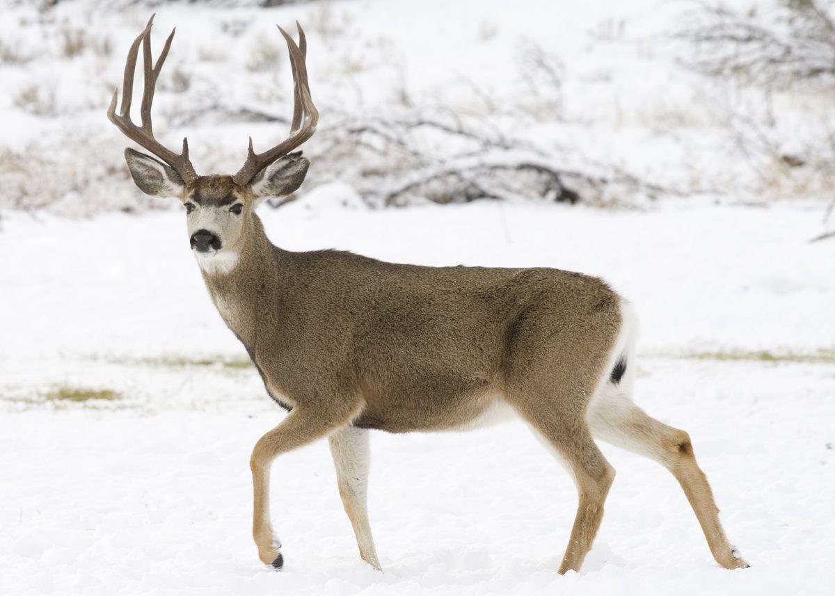
Canyon bottoms hold seasonal springs and streams, while a few perennial springs support riparian habitat. Those features are important to the mountains’ wildlife and watershed, but they are not a sound basis for assuming drinking water will be available along a hike. Carry a sufficient supply and confirm conditions before setting out. Alligator juniper, gray oak, mountain mahogany, and sotol dominate much of the vegetation, with ponderosa pine higher up. Desert mule deer, mountain lions, songbirds, and a race of the Colorado chipmunk occur here; give animals space and avoid approaching them for photographs. Pack for changing conditions across the elevation range, including layers for higher ground. Contact the Bureau of Land Management’s Las Cruces District Office to confirm current access conditions and any permit requirements before a trip.
Where on earth
Satellite imagery flying in from a world view to Organ Mountains Wilderness, United States. Use the + / − buttons, or click the map to zoom with your scroll wheel; drag to pan and pinch to zoom on touch.
Coordinates
- Decimal degrees
- 32.3171, -106.5916
- Latitude (DMS)
- 32° 19′ 1.6″ N
- Longitude (DMS)
- 106° 35′ 29.6″ W
Coordinates are an access-point reference for Organ Mountains Wilderness, not a route. Carry a paper map and confirm trailhead or put-in access with the managing agency before you go.
Topic summary
The Organ Mountains Wilderness provides the backdrop to the Mesilla Valley and New Mexico’s second largest city: Las Cruces. From picnickers to horsemen, family outings to day hikes, these mountains...
Key takeaways
- Region: NM, USA
- Country: United States
- Good for: hiking
- Coordinates: 32.317, -106.592
Intended uses
hiking
Keep planning
Popular pursuits at Organ Mountains Wilderness
- Climbing
Rock and alpine lines with approach beta.
- Mountaineering
Glacier and high-route objectives with real consequence.
- Desert Hiking
Water carries and heat management drive the plan.
- Canyoneering
Narrows, downclimbs, and flash-flood timing.
- Hiking
Day miles on marked trail, with route notes and trail links below.
- Wildlife Viewing
Best light, best season, and where animals move.
Animals around Organ Mountains Wilderness

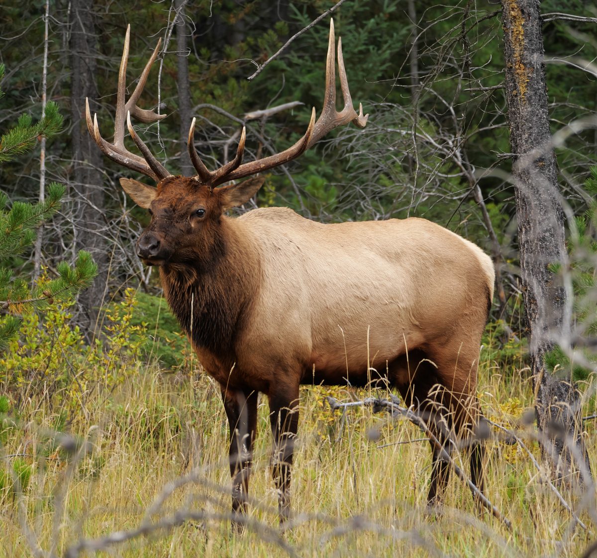
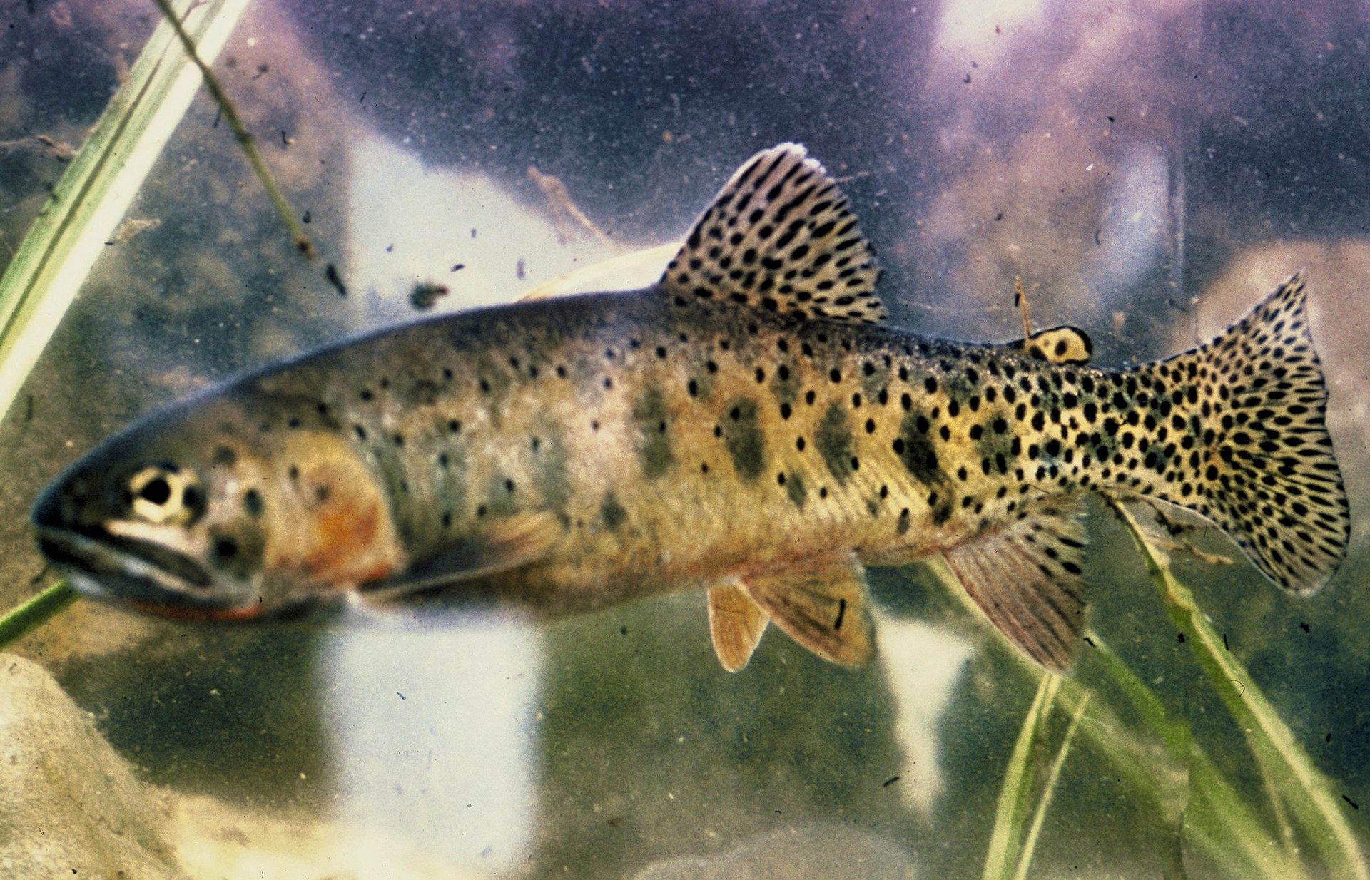

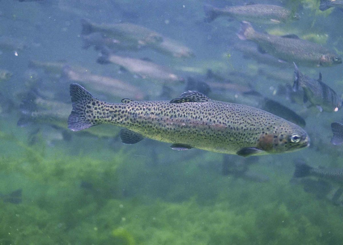
Granite spires above Las Cruces
The Organ Mountains Wilderness rises east of Las Cruces, forming a steep backdrop to the Mesilla Valley. Its granite crags and needle-like spires give the range its name: their outlines resemble organ pipes. Elevations range from about 4,600 feet to just over 9,000 feet, taking the landscape from Chihuahuan Desert vegetation into open woodland and high stands of ponderosa pine. Narrow canyons break up the rocky slopes, making this more than a skyline to photograph from town. The wilderness is part of the broader Organ Mountains–Desert Peaks National Monument, but the two are not interchangeable trip-planning areas. Keep plans focused on the Organ Mountains rather than assuming that recreation opportunities elsewhere in the monument apply here. Hiking, horseback outings, photography, and wildlife watching fit the character of this mountain landscape.
Plan a hike around Baylor Pass
The Baylor Pass National Recreation Trail is the named hiking route through the wilderness. Its western trailhead is reached from Baylor Canyon Road, with the trail climbing east toward Baylor Pass. Beyond the pass, it descends toward the Aguirre Spring loop road. This gives hikers two straightforward planning choices: return to the western trailhead after visiting the pass, or arrange transportation for a crossing to Aguirre Spring. The steep mountain setting calls for a realistic turnaround plan rather than judging the outing solely by its proximity to Las Cruces. Carry navigation, sun protection, and enough water for the full outing. Dripping Springs Natural Area, on the western edge of the range, offers a separate orientation stop with interpretive displays; it should not be treated as the Baylor Pass trailhead.
Water, habitat, and preparation
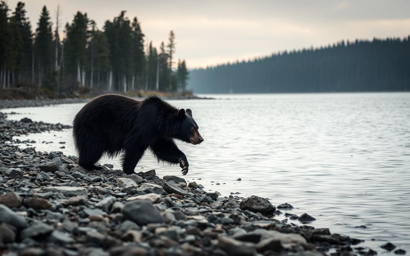
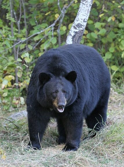
Canyon bottoms hold seasonal springs and streams, while a few perennial springs support riparian habitat. Those features are important to the mountains’ wildlife and watershed, but they are not a sound basis for assuming drinking water will be available along a hike. Carry a sufficient supply and confirm conditions before setting out. Alligator juniper, gray oak, mountain mahogany, and sotol dominate much of the vegetation, with ponderosa pine higher up. Desert mule deer, mountain lions, songbirds, and a race of the Colorado chipmunk occur here; give animals space and avoid approaching them for photographs. Pack for changing conditions across the elevation range, including layers for higher ground. Contact the Bureau of Land Management’s Las Cruces District Office to confirm current access conditions and any permit requirements before a trip.
Route options
- Baylor Pass out-and-back from Baylor Canyon Road
Follow the Baylor Pass National Recreation Trail east from the western parking area to Baylor Pass, then retrace the approach. This option returns to the same trailhead without requiring transportation between endpoints.
- Baylor Pass crossing to Aguirre Spring
Start at the Baylor Canyon Road trailhead, hike east to Baylor Pass, and continue downhill to the trail’s endpoint at the Aguirre Spring loop road. Plan transportation between the two endpoints before committing to a one-way hike.
Sample itineraries
- Baylor Pass day hike · 1 day
Start at the Baylor Pass Trail parking area on Baylor Canyon Road and hike east toward Baylor Pass. Use an out-and-back plan matched to fitness and conditions. Expect steep mountain terrain; carry water rather than relying on canyon springs.
- Organ Mountains orientation and wilderness hike · 2 days
Spend the first day at Dripping Springs Natural Area and its visitor center for mountain interpretation and photography. On day two, hike the Baylor Pass National Recreation Trail from Baylor Canyon Road. Base in Las Cruces; these are separate outings, not a connecting backpacking route.
Seasonal conditions
Spring
Spring outings
Plan for differences between the desert foothills and upper mountain elevations. Canyon springs and streams can be seasonal; their presence on a map does not guarantee drinking water. Check the forecast and carry layers.
Summer
Summer outings
Treat the Chihuahuan Desert setting as a reason to prioritize water, sun protection, and conservative hiking plans. Start early when heat is forecast, and do not assume higher woodland terrain provides continuous shade.
Fall
Fall outings
Choose clothing for both desert terrain and higher elevations. Check conditions for the elevation of the planned hike rather than relying only on the Las Cruces forecast. Continue carrying water independently of seasonal streams.
Winter
Winter outings
The range rises to just over 9,000 feet, so prepare for colder conditions above the foothills. Check mountain weather before committing to a pass hike. The Dripping Springs Visitor Center is open year-round except winter holidays.
| Season | Window | Conditions |
|---|---|---|
| Spring | Spring outings | Plan for differences between the desert foothills and upper mountain elevations. Canyon springs and streams can be seasonal; their presence on a map does not guarantee drinking water. Check the forecast and carry layers. |
| Summer | Summer outings | Treat the Chihuahuan Desert setting as a reason to prioritize water, sun protection, and conservative hiking plans. Start early when heat is forecast, and do not assume higher woodland terrain provides continuous shade. |
| Fall | Fall outings | Choose clothing for both desert terrain and higher elevations. Check conditions for the elevation of the planned hike rather than relying only on the Las Cruces forecast. Continue carrying water independently of seasonal streams. |
| Winter | Winter outings | The range rises to just over 9,000 feet, so prepare for colder conditions above the foothills. Check mountain weather before committing to a pass hike. The Dripping Springs Visitor Center is open year-round except winter holidays. |
Permits, fees & closures
Confirm current permit requirements and access rules with the BLM Las Cruces District Office at 575-525-4300.
Official source: Organ Mountains-Desert Peaks National Monument · Verified November 9, 2026
Hazards & regulations
- Steep granite crags, needle-like spires, and narrow canyons demand careful footing and route choices. Do not treat a hiking itinerary as guidance for climbing the spires.
- Many canyon springs and streams are seasonal. Carry sufficient water rather than assuming a mapped drainage will provide a usable supply.
- Desert exposure and substantial elevation differences require sun protection, extra layers, and a forecast appropriate to the planned route.
- Mountain lions occur here. Give wildlife space, keep children close, and avoid approaching or following animals.
What to pack for Organ Mountains Wilderness
- Water sufficient for the full outing
- Sun hat
- Sunscreen
- Sunglasses
- Footwear with reliable traction
- Insulating layer
- Weather-resistant outer layer
- First-aid kit
- Headlamp
- BLM map showing wilderness boundaries
- Offline navigation and backup map
- Binoculars
- Camera
Organ Mountains Wilderness FAQ
- Where is Organ Mountains Wilderness?
- It lies east of Las Cruces, New Mexico, above the Mesilla Valley. The landscape includes granite crags, narrow canyons, desert vegetation, and upper-elevation ponderosa pine.
- How do you reach the Baylor Pass Trail?
- From US Highway 70, approximately one mile west of Organ, drive approximately two miles south on Baylor Canyon Road. The trailhead parking area is on the east side of the road; hike east toward Baylor Pass.
- Can Baylor Pass be hiked as a through-route?
- The trail continues east from Baylor Pass downhill to the Aguirre Spring loop road. Arrange transport between endpoints before choosing a one-way outing; otherwise, plan to return to the starting trailhead.
- Where is the visitor center?
- Dripping Springs Visitor Center is in Dripping Springs Natural Area on the range’s western edge. From Interstate 25, Exit 1, follow University Avenue/Dripping Springs Road east to its end. The center offers interpretive displays about the Organ Mountains.
- Are the wilderness and the national monument the same area?
- No. The national monument includes the Organ Mountains, Desert Peaks, Potrillo Mountains, and Doña Ana Mountains. Its broader activity listings should not be treated as permission for every activity inside the wilderness. Check boundaries and applicable rules with BLM.
- Is water available along a hike?
- Canyon bottoms contain seasonal springs and streams, plus a few perennial springs supporting riparian habitat. That does not establish dependable drinking-water access along a particular route. Carry water for the outing.