



- Region
- WV, USA
- Country
- United States
- Best for
- hiking
- Best season
- Spring, Summer
- Permits
- Confirm current permit requirements and tr…
- Managed by
- U.S. Forest Service, Monongahela National Forest, Cheat-Potomac Ranger District; visitor information through the Cheat Ranger District.
Plan with verified data
Otter Creek Wilderness trip tools
Tools for a trip here
Picked for how, when and where you're going. Free, no signup.
Photos of Otter Creek Wilderness
How to get there
Otter Creek Wilderness lies in Tucker and Randolph Counties in West Virginia’s Monongahela National Forest. Northern access to Otter Creek Trail crosses the Dry Fork River on a bridge. Confirm road approaches and parking arrangements with the Cheat Ranger District in Parsons at (304) 478-2000 before setting out.
- Dry Fork River bridge
The bridge provides access across the Dry Fork River to the northern end of Otter Creek Trail. It does not eliminate the need for creek fords farther into the wilderness.
- Otter Creek Trail — northern end
The trail entrance reached by the Dry Fork River bridge leads into the creek corridor. This is the same northern approach, not a separate road-access location; confirm parking and approach details with the ranger district.
Sources: fs.usda.gov · University of Montana / federal agency partners · Wilderness Connect / federal wilderness boundary inventory · Wikipedia. Confirm road and trailhead conditions with the managing agency before you leave.
WV, USA · United States
- Mountaineering
- Hiking
- Backpacking
- Wildlife Viewing
- Canoeing
- Fishing
A forested bowl between two mountains
Otter Creek Wilderness covers 20,698 acres in West Virginia’s Monongahela National Forest, spanning Tucker and Randolph Counties. Shavers Mountain forms the eastern side of its bowl-shaped landscape, with McGowan Mountain on the west. Elevations rise from 1,800 feet at the mouth of Otter Creek to 3,900 feet on McGowan Mountain. Most streams drain north into Otter Creek, which continues to the Dry Fork River. Extensive logging left a landscape now covered in second-growth forest, with spruce higher up and hardwoods such as black cherry and yellow birch below. Rhododendron and mountain laurel crowd stream corridors, while mosses and lichens occupy damp ground. The main appeal is travel through this enclosed forest-and-stream landscape: creekside walking, plant observation, fishing, and backpacking rather than a trip organized around developed facilities.
Unsigned trails and consequential creek crossings
The wilderness has 45 miles of trails, many following former railroad grades, logging roads, and farm roads. Those historic corridors do not make navigation automatic: trails are neither signed nor blazed, and occasional rock cairns are not a substitute for a map and navigation skills. Deadfall generally remains unless walking around it would cause unacceptable environmental damage. Expect wet, muddy tread and allow time for obstacles. Otter Creek Trail is the longest and most-used route, following the creek for 11 miles. Its northern approach has bridge access across the Dry Fork River, but farther along the trail several creek crossings require fords. Streams can flash flood during heavy rain, and few crossings have bridges. Make water levels a deciding factor in route choice, and turn back rather than commit to an unsafe crossing.
Backcountry preparation and low-impact camping
Plan for a self-supported outing: potable water is not available, so carry drinking water or the means to treat collected water. Pack for wet footing and changing mountain weather, and protect essential gear from moisture. Black bears inhabit the wilderness, and timber rattlesnakes may be encountered; secure food and scented items appropriately, watch where hands and feet go, and give wildlife space. Groups larger than 10 people are prohibited, and pets must remain under control. Do not establish camp within 200 feet of roads, streams, or trails. A lightweight stove is encouraged; if using a fire, keep it small and use only dead and down branches. Motor vehicles belong on roads and in parking areas, while mountain bikes and mechanical devices such as carts are not allowed on wilderness trails. Confirm current requirements and conditions with the Cheat Ranger District before departure.
Where on earth
Satellite imagery flying in from a world view to Otter Creek Wilderness, United States. Use the + / − buttons, or click the map to zoom with your scroll wheel; drag to pan and pinch to zoom on touch.
Coordinates
- Decimal degrees
- 38.9985, -79.6447
- Latitude (DMS)
- 38° 59′ 54.8″ N
- Longitude (DMS)
- 79° 38′ 40.9″ W
Coordinates are an access-point reference for Otter Creek Wilderness, not a route. Carry a paper map and confirm trailhead or put-in access with the managing agency before you go.
Topic summary
In a natural bowl between Shavers Mountain (on the east side) and McGowan Mountain (on the west side) lies Otter Creek Wilderness. Most of the numerous streams in the area flow into Otter Creek, which...
Key takeaways
- Region: WV, USA
- Country: United States
- Good for: hiking
- Coordinates: 38.999, -79.645
Intended uses
hiking
Keep planning
Popular pursuits at Otter Creek Wilderness
- Mountaineering
Glacier and high-route objectives with real consequence.
- Hiking
Day miles on marked trail, with route notes and trail links below.
- Backpacking
Multi-day travel with everything on your back — see the packing blocks below.
- Wildlife Viewing
Best light, best season, and where animals move.
- Canoeing
Paddle routes, portages, and put-ins.
- Fishing
Resident gamefish, seasons, and the water that holds them.
Animals around Otter Creek Wilderness
 Wildlife guideBlack bearUrsus americanus
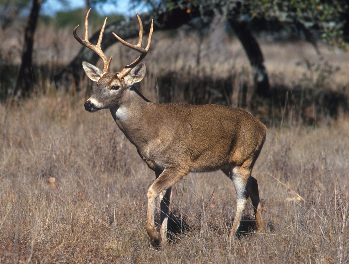 Big gameWhitetail DeerOdocoileus virginianus
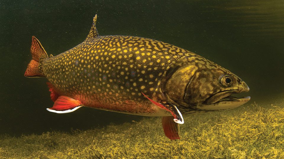 GamefishBrook TroutSalvelinus fontinalis
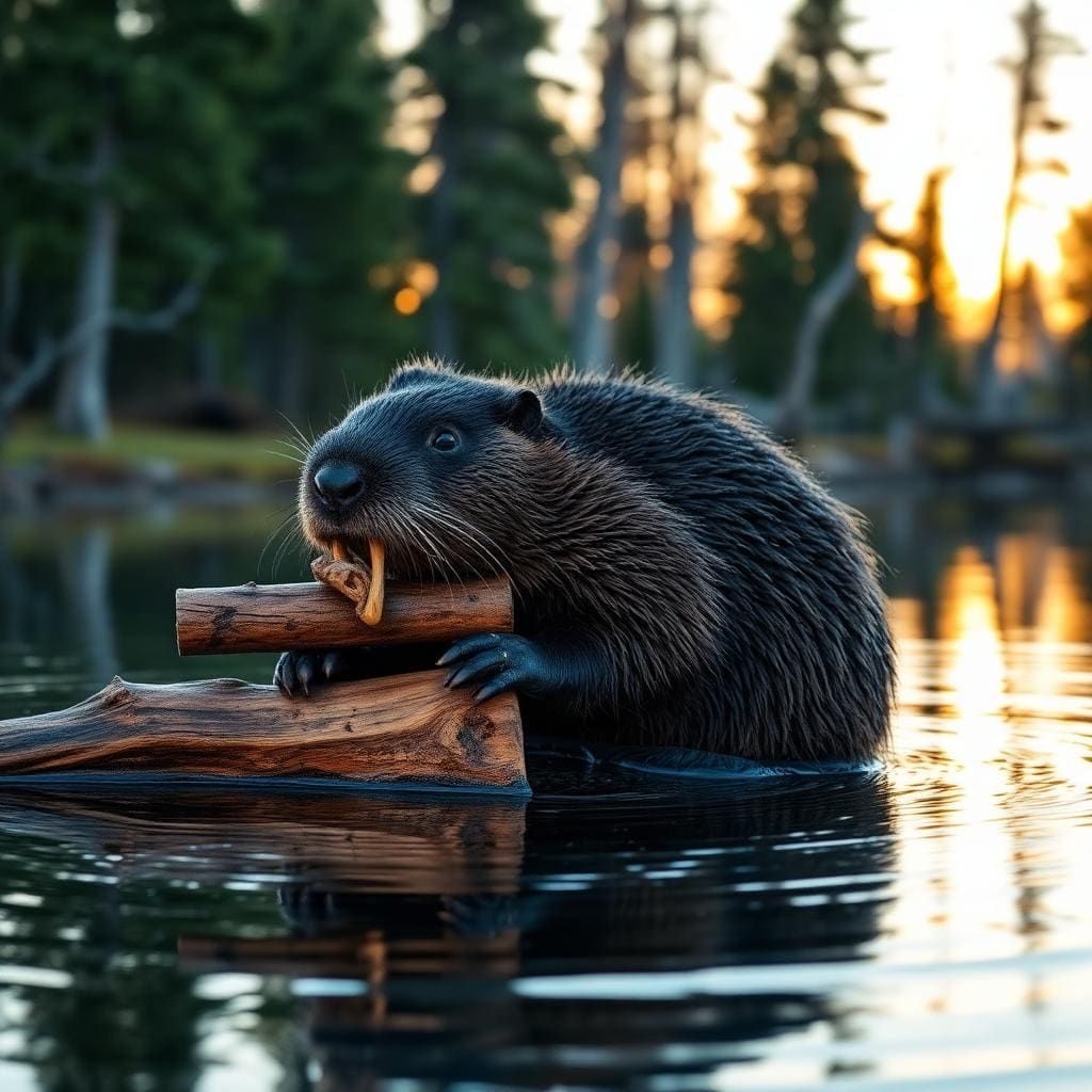 Wildlife guideNorth American beaverCastor canadensis
 Big gameBlack BearUrsus americanus
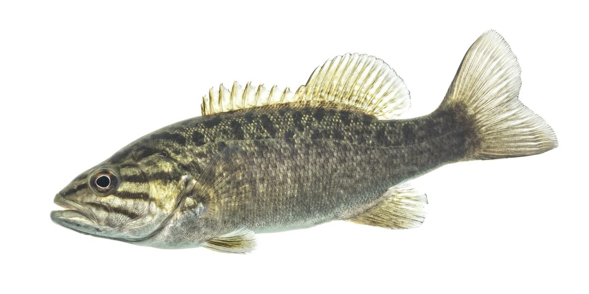 GamefishSmallmouth BassMicropterus dolomieu
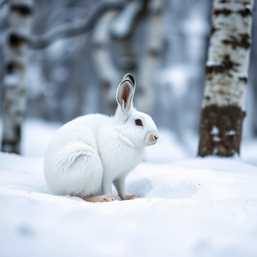 Wildlife guideSnowshoe hareLepus americanus
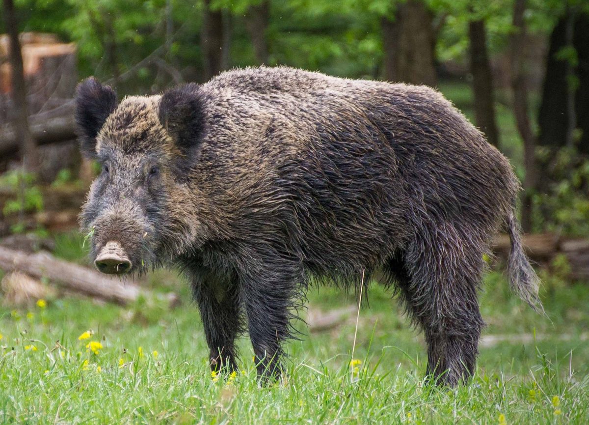 Big gameWild HogSus scrofa
A forested bowl between two mountains
Otter Creek Wilderness covers 20,698 acres in West Virginia’s Monongahela National Forest, spanning Tucker and Randolph Counties. Shavers Mountain forms the eastern side of its bowl-shaped landscape, with McGowan Mountain on the west. Elevations rise from 1,800 feet at the mouth of Otter Creek to 3,900 feet on McGowan Mountain. Most streams drain north into Otter Creek, which continues to the Dry Fork River. Extensive logging left a landscape now covered in second-growth forest, with spruce higher up and hardwoods such as black cherry and yellow birch below. Rhododendron and mountain laurel crowd stream corridors, while mosses and lichens occupy damp ground. The main appeal is travel through this enclosed forest-and-stream landscape: creekside walking, plant observation, fishing, and backpacking rather than a trip organized around developed facilities.
Unsigned trails and consequential creek crossings
The wilderness has 45 miles of trails, many following former railroad grades, logging roads, and farm roads. Those historic corridors do not make navigation automatic: trails are neither signed nor blazed, and occasional rock cairns are not a substitute for a map and navigation skills. Deadfall generally remains unless walking around it would cause unacceptable environmental damage. Expect wet, muddy tread and allow time for obstacles. Otter Creek Trail is the longest and most-used route, following the creek for 11 miles. Its northern approach has bridge access across the Dry Fork River, but farther along the trail several creek crossings require fords. Streams can flash flood during heavy rain, and few crossings have bridges. Make water levels a deciding factor in route choice, and turn back rather than commit to an unsafe crossing.
Backcountry preparation and low-impact camping
Plan for a self-supported outing: potable water is not available, so carry drinking water or the means to treat collected water. Pack for wet footing and changing mountain weather, and protect essential gear from moisture. Black bears inhabit the wilderness, and timber rattlesnakes may be encountered; secure food and scented items appropriately, watch where hands and feet go, and give wildlife space. Groups larger than 10 people are prohibited, and pets must remain under control. Do not establish camp within 200 feet of roads, streams, or trails. A lightweight stove is encouraged; if using a fire, keep it small and use only dead and down branches. Motor vehicles belong on roads and in parking areas, while mountain bikes and mechanical devices such as carts are not allowed on wilderness trails. Confirm current requirements and conditions with the Cheat Ranger District before departure.
Route options
- Otter Creek Trail — northern out-and-back
Enter across the Dry Fork River bridge and follow Otter Creek Trail for a self-selected distance before returning the same way. Choose the turnaround according to navigation, footing, and water levels rather than assuming every ford will be passable.
- Otter Creek Trail — full-length route11 miles
Follow the wilderness’s longest trail along Otter Creek. Several fords, unsigned tread, mud, and uncleared deadfall require careful planning. Confirm endpoint access and return arrangements before attempting the full trail; the stated length does not include a return trip.
Sample itineraries
- Northern Otter Creek Trail day hike · 1 day
Use the northern bridge access across Dry Fork River to reach Otter Creek Trail. Make an out-and-back through second-growth forest, choosing a turnaround that suits conditions. The trail requires creek fords farther along; do not treat the entrance bridge as evidence of bridged crossings throughout.
- Otter Creek overnight · 2 days
Plan an out-and-back backpack on Otter Creek Trail, allowing extra time for fords, mud and deadfall. Choose mileage using the wilderness trail map rather than assuming maintained-trail speeds. Camp at least 200 feet from roads, streams and trails, and return only when crossings remain safe.
Seasonal conditions
Spring
Spring; plan around rainfall and stream levels
Expect wet footing and assess every ford. Heavy rain can cause flash flooding in the streams draining this mountain bowl. Leave room to shorten or cancel a route when water rises.
Summer
Summer; check weather before creek travel
Warm weather does not remove the crossing hazard. Heavy rain can rapidly change stream conditions. Carry drinking water or treatment equipment; no potable water is provided.
Fall
Fall; prepare for changing mountain weather
Pack layers suited to elevations ranging from 1,800 to 3,900 feet. Wet trails, unsigned junctions and uncleared deadfall still require conservative timing. Do not assume lower water simply because the season has changed.
Winter
Winter; snow-dependent travel
Cross-country skiing and snowshoeing are recreation options when conditions support them. Prepare for cold, wet feet and difficult navigation on unsigned trails. Confirm current snow and crossing conditions before choosing a route.
| Season | Window | Conditions |
|---|---|---|
| Spring | Spring; plan around rainfall and stream levels | Expect wet footing and assess every ford. Heavy rain can cause flash flooding in the streams draining this mountain bowl. Leave room to shorten or cancel a route when water rises. |
| Summer | Summer; check weather before creek travel | Warm weather does not remove the crossing hazard. Heavy rain can rapidly change stream conditions. Carry drinking water or treatment equipment; no potable water is provided. |
| Fall | Fall; prepare for changing mountain weather | Pack layers suited to elevations ranging from 1,800 to 3,900 feet. Wet trails, unsigned junctions and uncleared deadfall still require conservative timing. Do not assume lower water simply because the season has changed. |
| Winter | Winter; snow-dependent travel | Cross-country skiing and snowshoeing are recreation options when conditions support them. Prepare for cold, wet feet and difficult navigation on unsigned trails. Confirm current snow and crossing conditions before choosing a route. |
Permits, fees & closures
Confirm current permit requirements and trip restrictions with the Monongahela National Forest's Cheat Ranger District at (304) 478-2000.
Official source: Monongahela National Forest | Otter Creek Wilderness · Verified November 2, 2026
Hazards & regulations
- Streams frequently flash flood during heavy rain. Avoid committing to a route that depends on crossing rising water.
- Few creek crossings have bridges. Otter Creek Trail requires several fords, and high water can make crossings difficult.
- Trails are neither signed nor blazed. Occasional rock cairns are not a substitute for a map and navigation skills.
- Deadfall generally remains across trails, and muddy, wet tread can slow travel considerably.
- Black bears and timber rattlesnakes occur here. Secure food, give wildlife space and watch where hands and feet go.
What to pack for Otter Creek Wilderness
- Otter Creek Wilderness trail map
- Compass and offline navigation backup
- Headlamp
- Route plan allowing extra time for fords and deadfall
- Secure footwear suitable for wet trails and crossings
- Trekking poles for balance
- Spare socks
- Rain shell and insulating layers
- Waterproof bags for dry clothing
- Drinking water and water-treatment equipment
- Lightweight camping stove
- Shelter and season-appropriate sleep system
- Wildlife-resistant food storage
- First-aid kit
Otter Creek Wilderness FAQ
- Where is Otter Creek Wilderness, and what is the terrain like?
- It lies in West Virginia's Tucker and Randolph Counties within Monongahela National Forest. Shavers Mountain and McGowan Mountain form a bowl around its streams. The 20,698-acre wilderness rises from 1,800 to 3,900 feet, with second-growth forest, streamside rhododendron and higher-elevation spruce.
- How extensive is the trail system?
- There are 45 miles of trails, many following old railroad grades, logging roads or farm roads. Otter Creek Trail is the longest at 11 miles. Trails are unsigned and unblazed, so carry the wilderness trail map and know how to use it.
- What camping and fire rules apply?
- Do not build a camp within 200 feet of roads, streams or trails. Keep fires small and use only dead and down branches. Lightweight camping stoves are encouraged. Follow Leave No Trace practices.
- Are dogs, large groups or bicycles allowed?
- Pets must remain under control at all times. Groups larger than 10 people are prohibited. Mountain bikes and mechanical devices such as carts are not allowed on wilderness trails. Motor vehicles are restricted to roads and parking areas.
- Is drinking water available?
- No potable water is available at the site. Carry drinking water or equipment to treat collected water. Numerous streams drain toward Otter Creek, but their presence does not guarantee safe drinking water or safe crossings.
- Is there bridge access to Otter Creek Trail?
- The northern approach has bridge access across Dry Fork River. Once on Otter Creek Trail, expect several creek fords. Few bridges serve wilderness crossings, and heavy rain can cause flash flooding.