



- Region
- AZ, USA
- Country
- United States
- Best for
- hiking
- Best season
- Spring, Summer
- Permits
- No permits or passes are required for ordi…
- Managed by
- Bureau of Land Management, Safford Field Office
Plan with verified data
Redfield Canyon Wilderness trip tools
Tools for a trip here
Picked for how, when and where you're going. Free, no signup.
Photos of Redfield Canyon Wilderness
How to get there
From Tucson, take Interstate 10 east to Benson, then follow Pomerene Road north to Redington. Turn right beyond the bridge at Redington; this approach requires permission to cross State Trust and private lands. Alternatively, take Interstate 10 to exit 340 at Willcox and proceed 32 miles to Muleshoe Ranch. Sign in at The Nature Conservancy registration area, then follow four-wheel-drive Jackson Cabin Road north to the wilderness boundary. Confirm crossing permissions and access details with the BLM Safford Field Office at (928) 348-4400 before traveling.
- Redington
Approach from Benson along Pomerene Road and turn right beyond the bridge at Redington. Obtain permission before crossing State Trust and private lands on this approach.
- Muleshoe Ranch / Jackson Cabin Road
Reach Muleshoe Ranch from Interstate 10 exit 340 at Willcox. Sign in at The Nature Conservancy registration area before following four-wheel-drive Jackson Cabin Road north to the wilderness boundary. The road approach does not authorize motorized travel within the wilderness.
Sources: blm.gov · University of Montana / federal agency partners · Wilderness Connect / federal wilderness boundary inventory · Wikipedia. Confirm road and trailhead conditions with the managing agency before you leave.
AZ, USA · United States
- Desert Hiking
- Canyoneering
- Hiking
- Wildlife Viewing
- Photography
Red walls, side canyons, and desert relief
Redfield Canyon Wilderness protects 6,600 acres in southeastern Arizona, at the southern end of the Galiuro Mountains. Its central feature is a narrow, red-walled canyon bounded by tall cliffs, with eroded caves in the rock and boulders scattered below. Connected side canyons add a different character: some hold perennial streams, and exploration may reveal cascades and deep pools. To the east, the Galiuro Escarpment shows the fault-block terrain characteristic of the Basin and Range Province. Elevations range from about 3,400 to 6,200 feet, giving this compact wilderness substantial relief. Desert vegetation covers much of the area. The combination of enclosed canyon passages, water-bearing tributaries, and higher terrain makes landscape photography and exploratory hiking natural reasons to visit, without relying on a developed trail network.
Hiking without established trails
There are no established trails in Redfield Canyon Wilderness. Hiking here means choosing a line through canyon terrain rather than following a signed route, with boulders and narrow passages shaping progress. Spring and fall are the recommended hiking seasons. Reported temperatures range from 20 to 110 degrees Fahrenheit, so preparation needs to account for both heat and cold rather than treating the desert as uniformly warm. Carry navigation tools, adequate drinking water, and layers suited to the forecast; the presence of streams in some side canyons should not replace a water plan. Set a turnaround point that leaves room for slow travel and retracing uncertain sections. This is an undeveloped, primitive setting, and its terrain can present accessibility challenges. Choose an outing that matches the group's navigation skills and comfort on uneven ground.
Land access and wilderness responsibilities
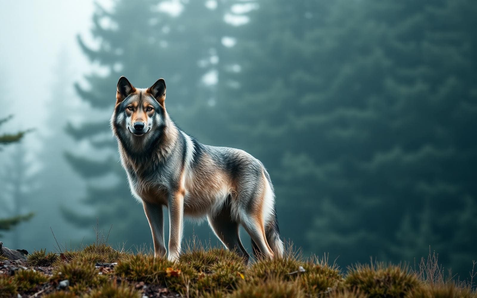
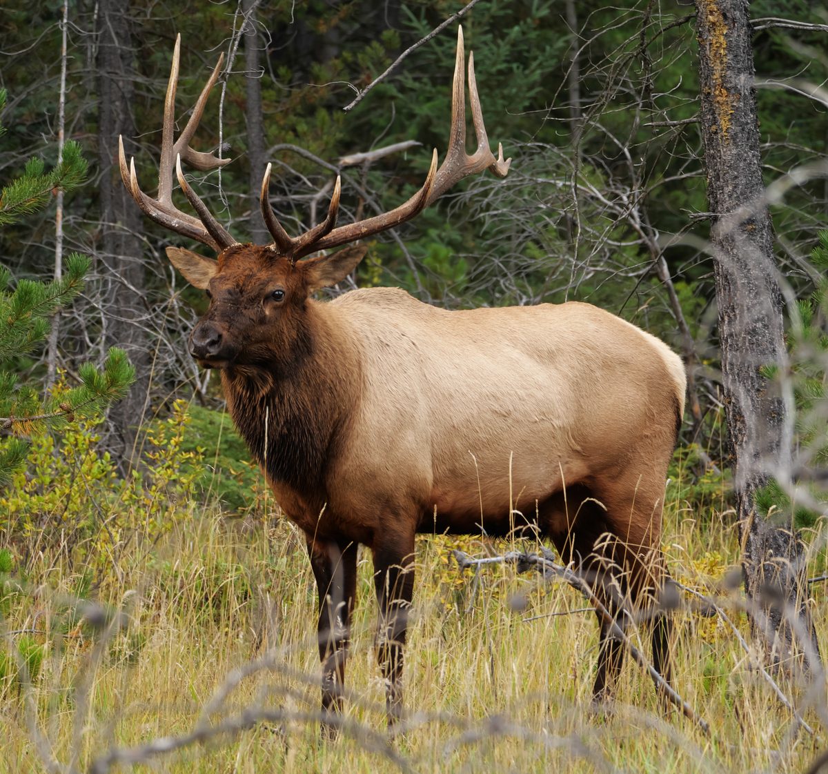
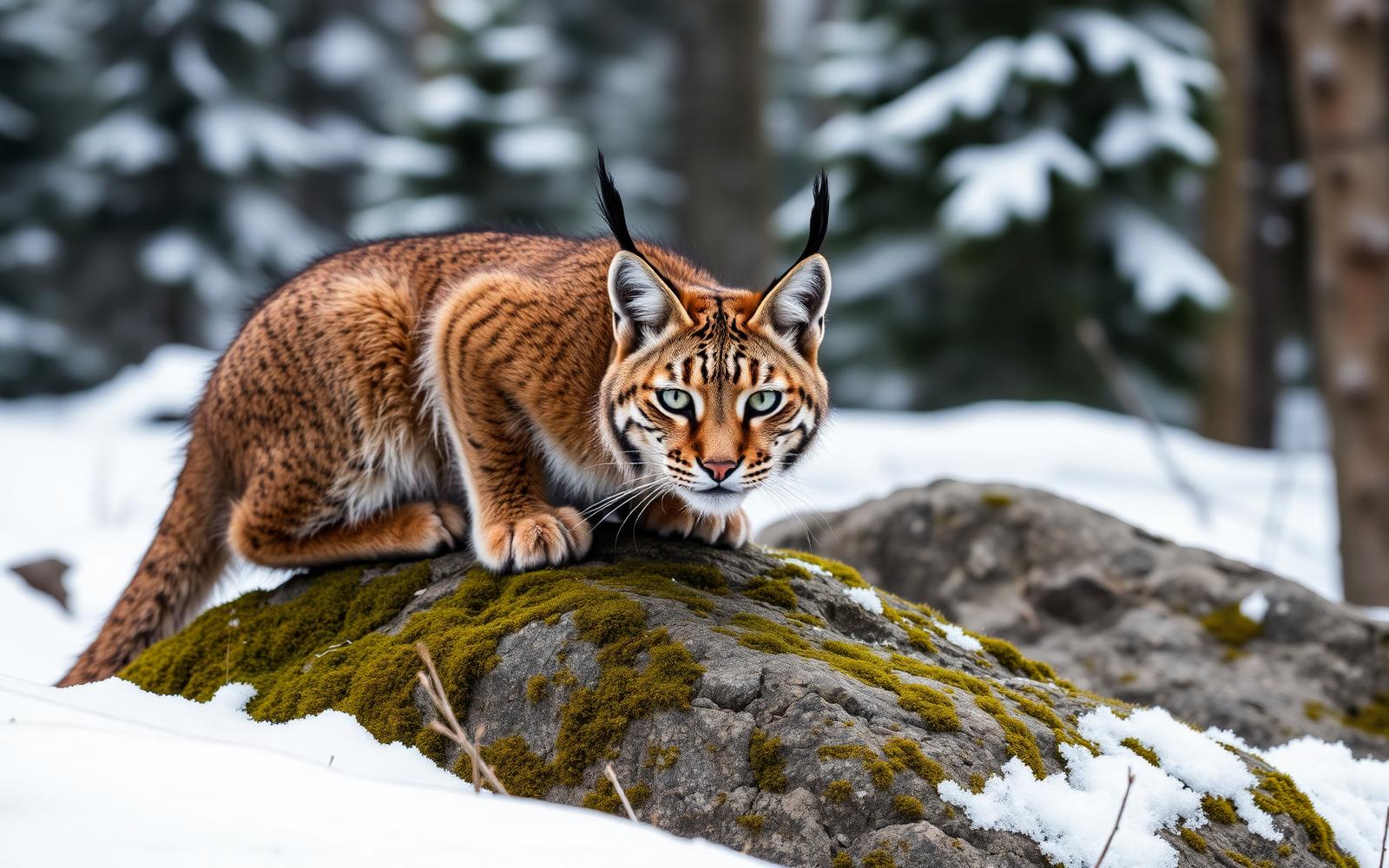
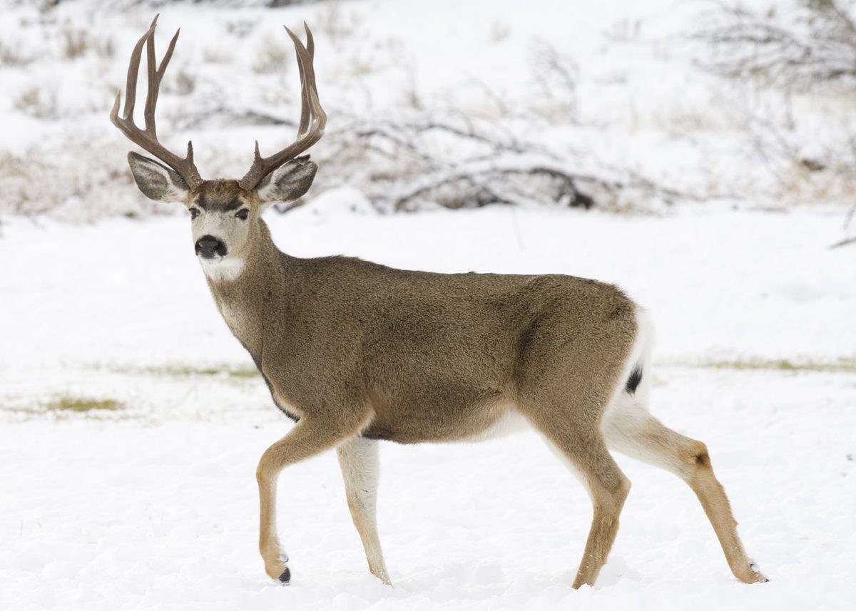
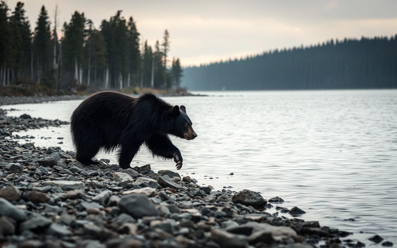
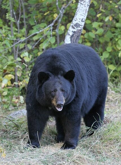
Access requires attention to land ownership as well as terrain. Obtain permission from the State Land Department and private landowners before crossing their lands; recreational activities on nearby State Trust land require an Arizona permit. Visiting the wilderness itself requires no permit, pass, or fee, although commercial, competitive, and large organized group events require a special recreation permit. At Muleshoe Ranch, sign in at The Nature Conservancy registration area before continuing along Jackson Cabin Road. Motorized equipment and mechanical transport, including bicycles, are generally prohibited within the wilderness. Follow Leave No Trace practices around streams, pools, and camping areas. Wildlife may include mule deer, pronghorn, bighorn sheep, coyotes, black bears, and cougars; keep your distance and secure food. The Bureau of Land Management's Safford Field Office is the contact for current access and regulation questions.
Where on earth
Satellite imagery flying in from a world view to Redfield Canyon Wilderness, United States. Use the + / − buttons, or click the map to zoom with your scroll wheel; drag to pan and pinch to zoom on touch.
Coordinates
- Decimal degrees
- 32.4441, -110.3117
- Latitude (DMS)
- 32° 26′ 38.7″ N
- Longitude (DMS)
- 110° 18′ 42.2″ W
Coordinates are an access-point reference for Redfield Canyon Wilderness, not a route. Carry a paper map and confirm trailhead or put-in access with the managing agency before you go.
Topic summary
A narrow red-walled chasm, boulder-strewn Redfield Canyon lies bound by tall cliffs pocked with eroded caves. With a bit of exploration you may find cascades and deep refreshing pools hidden in side-canyons....
Key takeaways
- Region: AZ, USA
- Country: United States
- Good for: hiking
- Coordinates: 32.444, -110.312
Intended uses
hiking
Keep planning
Popular pursuits at Redfield Canyon Wilderness
- Desert Hiking
Water carries and heat management drive the plan.
- Canyoneering
Narrows, downclimbs, and flash-flood timing.
- Hiking
Day miles on marked trail, with route notes and trail links below.
- Wildlife Viewing
Best light, best season, and where animals move.
- Photography
Vantage points and the hours worth setting an alarm for.
Animals around Redfield Canyon Wilderness
Red walls, side canyons, and desert relief
Redfield Canyon Wilderness protects 6,600 acres in southeastern Arizona, at the southern end of the Galiuro Mountains. Its central feature is a narrow, red-walled canyon bounded by tall cliffs, with eroded caves in the rock and boulders scattered below. Connected side canyons add a different character: some hold perennial streams, and exploration may reveal cascades and deep pools. To the east, the Galiuro Escarpment shows the fault-block terrain characteristic of the Basin and Range Province. Elevations range from about 3,400 to 6,200 feet, giving this compact wilderness substantial relief. Desert vegetation covers much of the area. The combination of enclosed canyon passages, water-bearing tributaries, and higher terrain makes landscape photography and exploratory hiking natural reasons to visit, without relying on a developed trail network.
Hiking without established trails
There are no established trails in Redfield Canyon Wilderness. Hiking here means choosing a line through canyon terrain rather than following a signed route, with boulders and narrow passages shaping progress. Spring and fall are the recommended hiking seasons. Reported temperatures range from 20 to 110 degrees Fahrenheit, so preparation needs to account for both heat and cold rather than treating the desert as uniformly warm. Carry navigation tools, adequate drinking water, and layers suited to the forecast; the presence of streams in some side canyons should not replace a water plan. Set a turnaround point that leaves room for slow travel and retracing uncertain sections. This is an undeveloped, primitive setting, and its terrain can present accessibility challenges. Choose an outing that matches the group's navigation skills and comfort on uneven ground.
Land access and wilderness responsibilities
Access requires attention to land ownership as well as terrain. Obtain permission from the State Land Department and private landowners before crossing their lands; recreational activities on nearby State Trust land require an Arizona permit. Visiting the wilderness itself requires no permit, pass, or fee, although commercial, competitive, and large organized group events require a special recreation permit. At Muleshoe Ranch, sign in at The Nature Conservancy registration area before continuing along Jackson Cabin Road. Motorized equipment and mechanical transport, including bicycles, are generally prohibited within the wilderness. Follow Leave No Trace practices around streams, pools, and camping areas. Wildlife may include mule deer, pronghorn, bighorn sheep, coyotes, black bears, and cougars; keep your distance and secure food. The Bureau of Land Management's Safford Field Office is the contact for current access and regulation questions.
Route options
- Redfield CanyonOff-trail hiking on uneven, boulder-strewn terrain
Explore the namesake red-walled chasm on foot, choosing your own line through boulder-strewn terrain beneath cliffs and eroded caves. There is no established trail or fixed itinerary; plan for navigation and a turnaround suited to conditions and the group's ability.
- Redfield Canyon side canyonsOff-trail exploration requiring navigation
Explore tributary canyons for photography and a closer look at the area's water-bearing terrain. Some contain perennial streams, and cascades or deep pools may be found with exploration. These are exploratory outings rather than established trails; do not assume every side canyon offers water or an easy passage.
Sample itineraries
- Redfield Canyon Day Exploration · 1 day
Arrange access permissions before a spring or fall hike into Redfield Canyon. There are no established trails: choose an out-and-back suited to navigation skills and boulder-strewn terrain. Explore the red-walled chasm without committing to a fixed destination, and leave ample time to retrace the route.
- Side-Canyon Photography Overnight · 2 days
Plan a self-supported backpack focused on Redfield Canyon and its water-rich side canyons. Spend the first day exploring and dispersed camping; use the second for photography before returning. Cascades, pools, and perennial streams occur in some side canyons, but carry water rather than assuming every drainage has a supply.
Seasonal conditions
Spring
Spring
A recommended hiking season for the narrow canyon. Plan for uneven, trail-free travel and temperature differences across elevations of about 3,400 to 6,200 feet. Carry water even when exploring side canyons with streams.
Summer
Summer
Desert heat warrants conservative plans; the area's reported temperature range reaches 110°F. Carry ample water, limit exertion in heat, and do not treat canyon pools as a substitute for a dependable drinking-water supply.
Fall
Fall
Another recommended hiking season. Redfield Canyon offers trail-free exploration among boulders and tall cliffs. Allow generous travel time and carry layers for changing temperatures rather than assuming uniformly warm desert conditions.
Winter
Winter
Prepare for cold conditions: the area's reported temperature range drops to 20°F. Warm layers and appropriate overnight insulation matter, particularly when plans include higher terrain or camping.
| Season | Window | Conditions |
|---|---|---|
| Spring | Spring | A recommended hiking season for the narrow canyon. Plan for uneven, trail-free travel and temperature differences across elevations of about 3,400 to 6,200 feet. Carry water even when exploring side canyons with streams. |
| Summer | Summer | Desert heat warrants conservative plans; the area's reported temperature range reaches 110°F. Carry ample water, limit exertion in heat, and do not treat canyon pools as a substitute for a dependable drinking-water supply. |
| Fall | Fall | Another recommended hiking season. Redfield Canyon offers trail-free exploration among boulders and tall cliffs. Allow generous travel time and carry layers for changing temperatures rather than assuming uniformly warm desert conditions. |
| Winter | Winter | Prepare for cold conditions: the area's reported temperature range drops to 20°F. Warm layers and appropriate overnight insulation matter, particularly when plans include higher terrain or camping. |
Permits, fees & closures
No permits or passes are required for ordinary wilderness visits. Commercial, competitive, and large organized group events require a special recreation permit. Obtain permission before crossing State Trust or private lands; recreation on nearby State Trust land requires an Arizona permit. At Muleshoe Ranch, sign in at The Nature Conservancy registration area.
Fees: Visiting the wilderness is free.
Official source: Redfield Canyon Wilderness - Arizona · Verified November 10, 2026
Hazards & regulations
- No established trails: navigation and retracing a route require care, especially where side canyons branch from the main chasm.
- Boulder-strewn terrain and tall cliffs make footing and route selection consequential. Avoid moves that cannot be safely reversed.
- Temperatures reportedly range from 20 to 110°F. Prepare for heat exposure, dehydration, and cold according to the forecast and elevation.
- Streams occur in some small canyons, not every drainage. Carry sufficient water and treat any collected water.
- Black bears and cougars inhabit the area. Keep wildlife at a distance and secure food during overnight trips.
What to pack for Redfield Canyon Wilderness
- Topographic map showing wilderness and landownership boundaries
- Compass and offline navigation
- Access permissions for the planned approach
- Ample drinking water and carrying capacity
- Water treatment for collected stream water
- Sun hat, sunscreen, and protective clothing
- Warm layers matched to the forecast
- Footwear suited to boulders and uneven ground
- First-aid kit and headlamp
- Shelter and season-appropriate sleep system for overnight trips
- Food storage suitable for bear country
- Waste bags for packing out trash
Redfield Canyon Wilderness FAQ
- Where is Redfield Canyon Wilderness, and who manages it?
- This 6,600-acre wilderness lies in southeastern Arizona at the southern end of the Galiuro Mountains. The Bureau of Land Management's Safford Field Office manages it and can answer access and regulation questions at (928) 348-4400.
- How do you reach the wilderness?
- From Tucson, take Interstate 10 east to Benson, then Pomerene Road north to Redington; turn right beyond the bridge. Crossing State Trust and private lands requires permission. Alternatively, take Interstate 10 exit 340 at Willcox, travel 32 miles to Muleshoe Ranch, then follow four-wheel-drive Jackson Cabin Road north to the wilderness boundary.
- Are there maintained trails or accessible facilities?
- There are no established trails. Hiking follows canyon terrain in a primitive, undeveloped setting, with boulders and other natural obstacles. Visitors needing accessible routes should discuss specific needs with the Safford Field Office before planning a trip.
- Can vehicles or bicycles enter the wilderness?
- Motorized equipment and mechanical transport, including vehicles and bicycles, are generally prohibited inside the wilderness. Jackson Cabin Road provides four-wheel-drive access to the boundary, not authorization to drive into the wilderness.
- Is water available in the canyons?
- Some small canyons contain perennial streams, and side canyons can hold cascades and deep pools. Do not assume water is available along an entire route. Carry a sufficient supply and treat water collected for drinking.
- What makes the landscape distinctive?
- Redfield Canyon is a narrow, red-walled chasm bordered by tall cliffs with eroded caves and scattered boulders. Side canyons contain streams and pools. In the eastern wilderness, the Galiuro Escarpment displays the fault-block terrain characteristic of the Basin and Range Province.