



- Region
- AR, USA
- Country
- United States
- Best for
- hiking
- Best season
- Spring, Summer
- Permits
- Confirm current wilderness permit requirem…
- Managed by
- USDA Forest Service, Ozark-St. Francis National Forests
Plan with verified data
Richland Creek Wilderness trip tools
Tools for a trip here
Picked for how, when and where you're going. Free, no signup.
Photos of Richland Creek Wilderness
How to get there
Use Richland Creek Campground as the named starting point for the Ozark Highlands Trail boundary walk and the upstream approach to Twin Falls. Confirm driving directions and current road conditions with the Forest Service. The mapped point at 35.801586, -92.975266 is inside the wilderness, not a trailhead, campsite, or access point.
- Richland Creek Campground
Starting point for the upstream hike toward Devil's Fork and Twin Falls, and for the Ozark Highlands Trail as it skirts the wilderness boundary.
- Ozark Highlands Trail boundary corridor
A walking access corridor along the southern and eastern wilderness boundaries, reached from Richland Creek Campground. This is not a separate identified roadside trailhead.
Sources: federalregister.gov · University of Montana / federal agency partners · Wilderness Connect / federal wilderness boundary inventory. Confirm road and trailhead conditions with the managing agency before you leave.
AR, USA · United States
- Hiking
- Wildlife Viewing
- Backpacking
Creek valleys and bluff country
Richland Creek Wilderness occupies rugged Boston Mountains country in Arkansas, within the Ozark National Forest. Richland Creek cuts through thick forest and meets Long Devil's Fork Creek near the heart of the wilderness. Narrow valleys, steep slopes, and vertical limestone and sandstone bluffs define the terrain; some bluffs rise as much as 100 feet above the drainages. Near the creeks, long walls of rock make the landscape more complicated than a simple walk upstream might suggest. Ridges offer elevated views, while side areas away from the creek provide more secluded settings. Plan around the shape of this country rather than mileage alone: steep valley sides and bluff lines can limit straightforward travel. A creek destination here calls for careful navigation and enough time to retrace the approach.
Two different kinds of hiking
The main planning distinction is between the Ozark Highlands Trail and travel into the creek drainages. From Richland Creek Campground, the OHT skirts the wilderness's southern and eastern boundaries, with its first four miles offering a useful option for hikers who want a trail-based outing. Twin Falls requires a different approach: travel upstream from the campground to Devil's Fork, then bushwhack up that drainage. Do not treat that waterfall approach as an equivalent stretch of maintained trail. Elsewhere, paths may follow old logging roads rather than a purpose-built hiking network. Carry navigation tools that work without a connection, keep track of the return route, and allow extra time for route-finding. Choose the boundary trail or the creek approach according to the group's navigation skills and comfort with off-trail travel.
Forest setting and trip preparation
Beyond the creek bluffs, the vegetation is characteristic of the Ozarks: oak-hickory forest with scattered shortleaf pines, plus an understory of ferns, blueberries, dogwood, and blackhaw. The land was logged in the past and does not contain virgin timber; old logging roads remain part of the walking landscape. Wildlife is abundant, so keep food secured and give animals room rather than approaching them. For a creek-focused trip, check weather and water conditions before setting out, and be willing to shorten the outing if the approach looks unsuitable. Pack for uneven ground and time spent navigating rather than assuming a quick waterfall stop. Richland Creek Campground is the named starting point for both hiking options. Confirm current campground services, access conditions, and any permit requirements with the Forest Service before departure.
Where on earth
Satellite imagery flying in from a world view to Richland Creek Wilderness, United States. Use the + / − buttons, or click the map to zoom with your scroll wheel; drag to pan and pinch to zoom on touch.
Coordinates
- Decimal degrees
- 35.8016, -92.9753
- Latitude (DMS)
- 35° 48′ 5.7″ N
- Longitude (DMS)
- 92° 58′ 31.0″ W
Coordinates are an access-point reference for Richland Creek Wilderness, not a route. Carry a paper map and confirm trailhead or put-in access with the managing agency before you go.
Topic summary
Beautiful Richland Creek traverses this area, cutting its way through a thick forest with abundant wildlife, secluded off-creek hideaways, and ridges that rise to towering vistas. Set within the Boston...
Key takeaways
- Region: AR, USA
- Country: United States
- Good for: hiking
- Coordinates: 35.802, -92.975
Intended uses
hiking
Keep planning
Popular pursuits at Richland Creek Wilderness
- Hiking
Day miles on marked trail, with route notes and trail links below.
- Wildlife Viewing
Best light, best season, and where animals move.
- Backpacking
Multi-day travel with everything on your back — see the packing blocks below.
Animals around Richland Creek Wilderness
 Wildlife guideBlack bearUrsus americanus
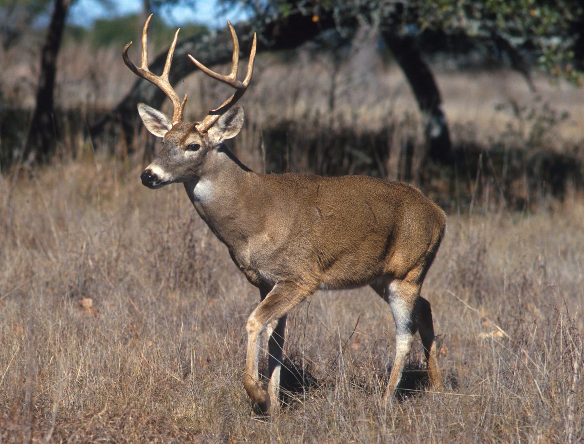 Big gameWhitetail DeerOdocoileus virginianus
 GamefishLargemouth BassMicropterus nigricans
 Wildlife guideWild turkeyMeleagris gallopavo
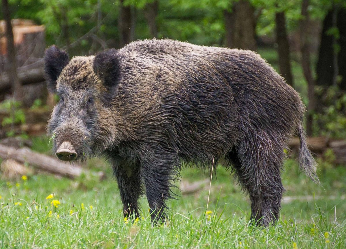 Big gameWild HogSus scrofa
 GamefishRed DrumSciaenops ocellatus
 Big gameBlack BearUrsus americanus
 GamefishSpotted SeatroutCynoscion nebulosus
Creek valleys and bluff country
Richland Creek Wilderness occupies rugged Boston Mountains country in Arkansas, within the Ozark National Forest. Richland Creek cuts through thick forest and meets Long Devil's Fork Creek near the heart of the wilderness. Narrow valleys, steep slopes, and vertical limestone and sandstone bluffs define the terrain; some bluffs rise as much as 100 feet above the drainages. Near the creeks, long walls of rock make the landscape more complicated than a simple walk upstream might suggest. Ridges offer elevated views, while side areas away from the creek provide more secluded settings. Plan around the shape of this country rather than mileage alone: steep valley sides and bluff lines can limit straightforward travel. A creek destination here calls for careful navigation and enough time to retrace the approach.
Two different kinds of hiking
The main planning distinction is between the Ozark Highlands Trail and travel into the creek drainages. From Richland Creek Campground, the OHT skirts the wilderness's southern and eastern boundaries, with its first four miles offering a useful option for hikers who want a trail-based outing. Twin Falls requires a different approach: travel upstream from the campground to Devil's Fork, then bushwhack up that drainage. Do not treat that waterfall approach as an equivalent stretch of maintained trail. Elsewhere, paths may follow old logging roads rather than a purpose-built hiking network. Carry navigation tools that work without a connection, keep track of the return route, and allow extra time for route-finding. Choose the boundary trail or the creek approach according to the group's navigation skills and comfort with off-trail travel.
Forest setting and trip preparation
Beyond the creek bluffs, the vegetation is characteristic of the Ozarks: oak-hickory forest with scattered shortleaf pines, plus an understory of ferns, blueberries, dogwood, and blackhaw. The land was logged in the past and does not contain virgin timber; old logging roads remain part of the walking landscape. Wildlife is abundant, so keep food secured and give animals room rather than approaching them. For a creek-focused trip, check weather and water conditions before setting out, and be willing to shorten the outing if the approach looks unsuitable. Pack for uneven ground and time spent navigating rather than assuming a quick waterfall stop. Richland Creek Campground is the named starting point for both hiking options. Confirm current campground services, access conditions, and any permit requirements with the Forest Service before departure.
Route options
- Ozark Highlands Trail from Richland Creek CampgroundFirst four miles highlighted; not a stated round-trip distance.
Follow the OHT from the campground along the southern and eastern wilderness boundaries. The first four miles are the highlighted scenic stretch; this trail does not reach Twin Falls.
- Twin Falls via Richland Creek and Devil's ForkAbout three miles to Twin Falls; round-trip mileage is not specified.Includes bushwhacking.
Hike upstream along Richland Creek from the campground to Devil's Fork, then bushwhack up that drainage to Twin Falls. Allow for off-trail navigation rather than expecting a continuous maintained trail.
Sample itineraries
- Ozark Highlands Trail boundary hike · 1 day
Start at Richland Creek Campground and follow the Ozark Highlands Trail along the wilderness’s southern and eastern boundaries. Make this an out-and-back with a turnaround suited to daylight and ability. The first four miles offer a look at the area’s forest and rugged terrain.
- Campground base and Twin Falls exploration · 2 days
Base at Richland Creek Campground and spend one day exploring the Ozark Highlands Trail. Reserve the other for Twin Falls: head up Richland Creek to Devil’s Fork, then bushwhack up that drainage. This is a navigation-dependent outing, not a maintained-trail waterfall stroll; turn back if terrain or water makes progress unsafe.
Seasonal conditions
Spring
Spring; choose an outing around current weather and creek conditions.
For creek-based travel toward Twin Falls, assess water conditions before committing. Narrow valleys and steep slopes make conservative route choices important. Carry rain protection and keep a trail-based alternative in mind.
Summer
Summer; adjust plans to the day’s forecast.
Thick forest does not eliminate the effort of climbing steep slopes or bushwhacking. Carry drinking water, allow extra time for off-trail travel, and shorten the outing if heat makes the terrain more demanding.
Fall
Fall; plan around available daylight.
Oak-hickory forest dominates the landscape, with scattered shortleaf pines. Keep enough daylight for the return, especially on old logging roads or the bushwhack toward Twin Falls. Do not assume an apparent track leads to the intended destination.
Winter
Winter; check the forecast before departure.
Choose routes conservatively when cold or wet weather is forecast. Creek travel and steep terrain leave little margin for getting soaked or delayed. Carry insulating layers and favor a shorter trail outing when conditions are uncertain.
| Season | Window | Conditions |
|---|---|---|
| Spring | Spring; choose an outing around current weather and creek conditions. | For creek-based travel toward Twin Falls, assess water conditions before committing. Narrow valleys and steep slopes make conservative route choices important. Carry rain protection and keep a trail-based alternative in mind. |
| Summer | Summer; adjust plans to the day’s forecast. | Thick forest does not eliminate the effort of climbing steep slopes or bushwhacking. Carry drinking water, allow extra time for off-trail travel, and shorten the outing if heat makes the terrain more demanding. |
| Fall | Fall; plan around available daylight. | Oak-hickory forest dominates the landscape, with scattered shortleaf pines. Keep enough daylight for the return, especially on old logging roads or the bushwhack toward Twin Falls. Do not assume an apparent track leads to the intended destination. |
| Winter | Winter; check the forecast before departure. | Choose routes conservatively when cold or wet weather is forecast. Creek travel and steep terrain leave little margin for getting soaked or delayed. Carry insulating layers and favor a shorter trail outing when conditions are uncertain. |
Permits, fees & closures
Confirm current wilderness permit requirements and campground arrangements with the Forest Service before travel.
Fees: A 2018 Forest Service notice announced Richland Creek Campground fees of $10 per night for a single site and $20 per night for a double site. Confirm current rates before travel.
Official source: Notice of New Fee Site; Federal Lands Recreation Enhancement Act · Verified November 3, 2026
Hazards & regulations
- Steep slopes and vertical limestone and sandstone bluffs rise as much as 100 feet above drainages. Avoid bluff edges and routes that require descending unknown drops.
- The Twin Falls approach includes bushwhacking up Devil’s Fork. Allow extra navigation time and do not expect a maintained trail.
- Many apparent trails are old logging roads. Carry a map and compass rather than relying on tracks alone.
- Creek-based travel requires an on-site assessment of water and footing. Turn back rather than enter water that feels unsafe.
What to pack for Richland Creek Wilderness
- Topographic map covering Richland Creek, Devil’s Fork, and the Ozark Highlands Trail
- Compass and offline navigation
- Headlamp with spare power
- First-aid kit and emergency shelter
- Footwear with dependable traction
- Trekking poles for uneven ground
- Drinking water and water treatment
- Dry storage for clothing and electronics
- Rain shell and forecast-appropriate insulating layers
- Long pants for bushwhacking
- Tent and sleeping system for campground stays
- Food and bags for packing out trash
Richland Creek Wilderness FAQ
- Where is Richland Creek Wilderness?
- It lies in Arkansas’s Boston Mountains, within Ozark National Forest. Narrow valleys, steep slopes, and limestone and sandstone bluffs define the landscape. Richland Creek and Long Devil’s Fork Creek meet near its center.
- What is a useful starting point?
- Richland Creek Campground provides access to the Ozark Highlands Trail and is the starting point for the creek approach toward Twin Falls. The trail skirts the wilderness’s southern and eastern boundaries.
- Does the Ozark Highlands Trail reach Twin Falls?
- No. The described approach leaves the campground along Richland Creek, reaches Devil’s Fork, and then follows that drainage by bushwhacking. Plan it as an off-trail outing rather than an extension of a maintained waterfall trail.
- Is this a good place for inexperienced off-trail hikers?
- The Twin Falls approach is a poor choice for learning navigation without experienced support. Steep terrain, bluffs, and old logging roads complicate travel. A conservative out-and-back on the Ozark Highlands Trail is a better starting plan.
- What facilities does Richland Creek Campground have?
- The Forest Service’s 2018 improvement notice listed grills, tables, lantern poles, tent pads, parking spaces, a new toilet, water-system upgrades, and trashcans. It also stated that most sites were wheelchair accessible. Confirm current facility availability and accessibility before relying on them.
- Can the wilderness inventory map point be used for access?
- No. The inventory point lies inside the wilderness boundary; it is not a trailhead, campsite, or access point. Use a verified access location such as Richland Creek Campground when planning the approach.