



- Region
- CA, USA
- Country
- United States
- Best for
- hiking
- Best season
- Spring, Summer
- Permits
- An Adventure Pass is required for parking …
- Managed by
- U.S. Forest Service, Los Padres National Forest, Santa Lucia Ranger District
Plan with verified data
San Rafael Wilderness trip tools
Tools for a trip here
Picked for how, when and where you're going. Free, no signup.
Photos of San Rafael Wilderness
How to get there
San Rafael Wilderness lies within Los Padres National Forest, north of Santa Barbara and east of Santa Maria. The wilderness hiking area is north and east of Figueroa Mountain. Confirm the specific trailhead and road approach with the Santa Lucia Ranger District before traveling; regional orientation points are not substitutes for trailhead directions.
- Figueroa Mountain area
Regional orientation point for wilderness hikes located to the north and east. Confirm a specific trailhead and driving approach before setting out; Figueroa Mountain is not identified here as a wilderness trailhead.
- Manzana River area
A corridor near many wilderness hikes suitable for backpacking. Use it to narrow the trip area, then confirm the actual entry trail and parking location with Los Padres National Forest.
Sources: fs.usda.gov · University of Montana / federal agency partners · Wilderness Connect / federal wilderness boundary inventory · Wikipedia. Confirm road and trailhead conditions with the managing agency before you leave.
CA, USA · United States
- Mountaineering
- Hiking
- Backpacking
- Wildlife Viewing
- Canoeing
- Fishing
- Photography
Chaparral mountains and river country
San Rafael Wilderness occupies the mountains of north-central Santa Barbara County within Los Padres National Forest, north of Santa Barbara and east of Santa Maria. Its terrain runs from chaparral-covered slopes to oak-shaded river grasslands, with elevations rising from 1,166 feet near the confluence of Manzana Creek and the Sisquoc River to more than 6,800 feet on Big Pine Mountain near the eastern boundary. Hurricane Deck adds a different kind of terrain: 17 miles of steep escarpments, grassy potreros, dry plateaus, and wind-carved sandstone. These contrasts matter when choosing a trip. A river-focused walk and a route through exposed uplands call for different water and weather planning. Designated in 1968, San Rafael was the first previously designated Primitive Area added to the national wilderness system after the Wilderness Act.
Choosing a walking or backpacking trip
More than 125 miles of relatively rugged trails cross the wilderness, with moderate overall use. Many hikes in or near the wilderness suit backpacking, particularly around the Manzana River. For a longer river-oriented trip, a path follows the Sisquoc east–west for about 26 miles, with numerous campsites along the corridor. That figure describes the river-following path, not a complete itinerary from a confirmed trailhead. The Sisquoc passes pools, waterfalls, oak-shaded grasslands, and archaeological sites; leave cultural material undisturbed. Although the river is designated Wild and Scenic, its rocky, shallow character makes it a poor default choice for paddling. Choose a walking itinerary around the terrain and available water rather than assuming the river provides easy travel. Confirm approach trails and current trail conditions before committing to a backpacking route.
Water, fire, and wildlife planning
Wildflowers are abundant from March through June, making spring worth considering for plant-focused trips. Fire danger is a major planning concern in this chaparral landscape; check current Los Padres National Forest alerts and restrictions before departure rather than assuming access will remain unchanged. Potable water is not available at the listed wilderness recreation site. Bring drinking water for the approach, plan how to treat natural water, and confirm water availability for the intended route. An Adventure Pass is required for parking at trailheads. The wilderness includes the Sisquoc Condor Sanctuary and supports black bears, mountain lions, and smaller wildlife. Keep wildlife at a distance and secure food appropriately. Pack for exposed slopes as well as shaded river stretches, and allow extra time for rugged trails.
Where on earth
Satellite imagery flying in from a world view to San Rafael Wilderness, United States. Use the + / − buttons, or click the map to zoom with your scroll wheel; drag to pan and pinch to zoom on touch.
Coordinates
- Decimal degrees
- 34.8195, -119.8691
- Latitude (DMS)
- 34° 49′ 10.3″ N
- Longitude (DMS)
- 119° 52′ 8.8″ W
Coordinates are an access-point reference for San Rafael Wilderness, not a route. Carry a paper map and confirm trailhead or put-in access with the managing agency before you go.
Topic summary
After the initial preservation of land under the Wilderness Act of 1964, the original San Rafael Wilderness (1968) was the first Primitive area added to the NWPS's roster. Here in the chaparral-covered...
Key takeaways
- Region: CA, USA
- Country: United States
- Good for: hiking
- Coordinates: 34.820, -119.869
Intended uses
hiking
Keep planning
Popular pursuits at San Rafael Wilderness
- Mountaineering
Glacier and high-route objectives with real consequence.
- Hiking
Day miles on marked trail, with route notes and trail links below.
- Backpacking
Multi-day travel with everything on your back — see the packing blocks below.
- Wildlife Viewing
Best light, best season, and where animals move.
- Canoeing
Paddle routes, portages, and put-ins.
- Fishing
Resident gamefish, seasons, and the water that holds them.
Animals around San Rafael Wilderness

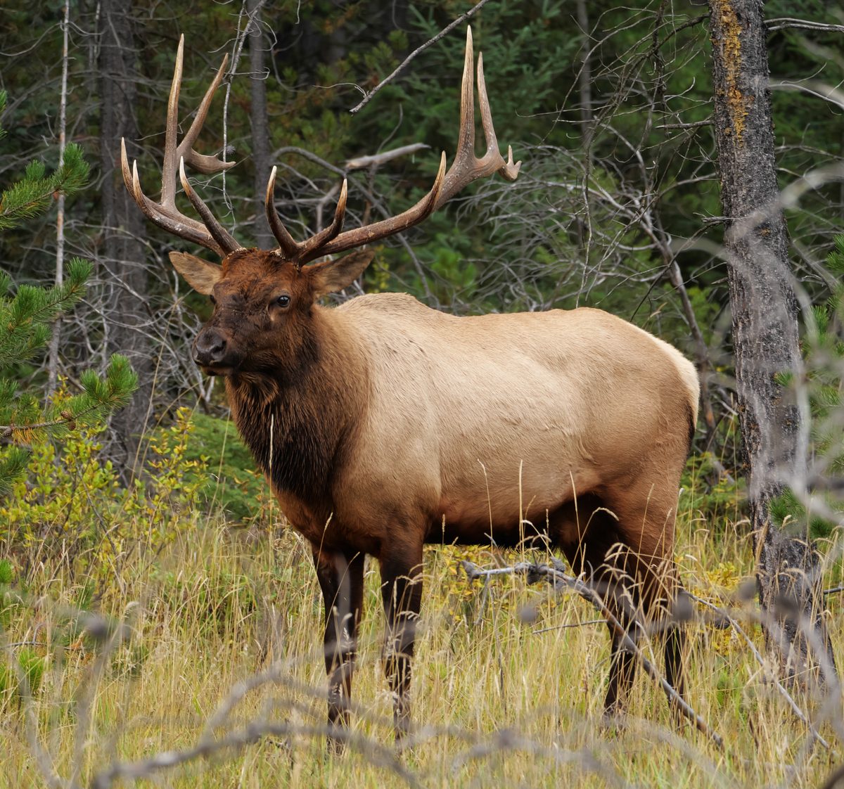
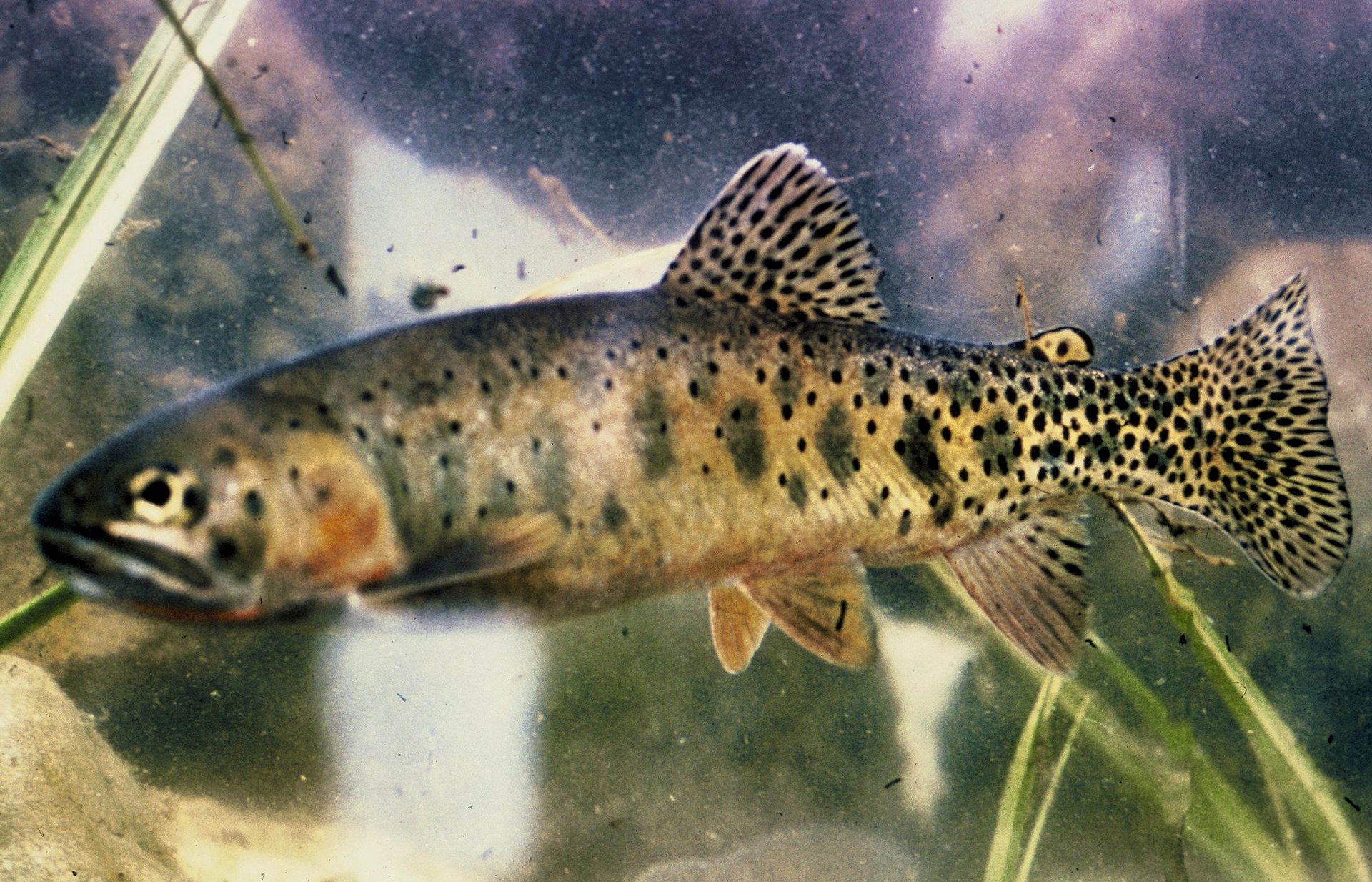

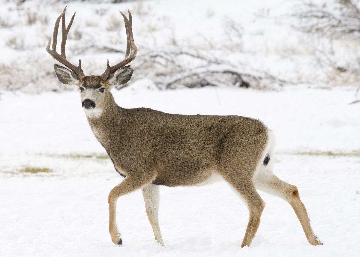
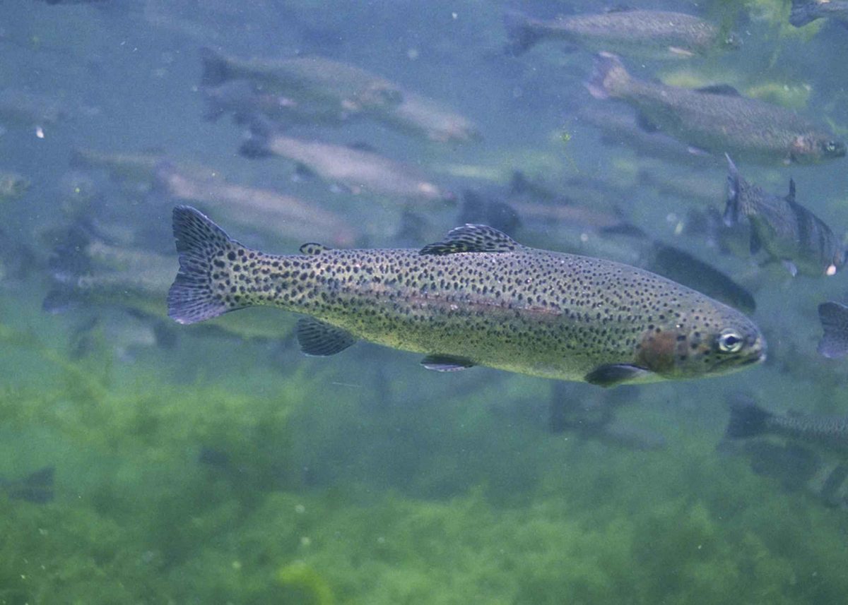
Chaparral mountains and river country
San Rafael Wilderness occupies the mountains of north-central Santa Barbara County within Los Padres National Forest, north of Santa Barbara and east of Santa Maria. Its terrain runs from chaparral-covered slopes to oak-shaded river grasslands, with elevations rising from 1,166 feet near the confluence of Manzana Creek and the Sisquoc River to more than 6,800 feet on Big Pine Mountain near the eastern boundary. Hurricane Deck adds a different kind of terrain: 17 miles of steep escarpments, grassy potreros, dry plateaus, and wind-carved sandstone. These contrasts matter when choosing a trip. A river-focused walk and a route through exposed uplands call for different water and weather planning. Designated in 1968, San Rafael was the first previously designated Primitive Area added to the national wilderness system after the Wilderness Act.
Choosing a walking or backpacking trip
More than 125 miles of relatively rugged trails cross the wilderness, with moderate overall use. Many hikes in or near the wilderness suit backpacking, particularly around the Manzana River. For a longer river-oriented trip, a path follows the Sisquoc east–west for about 26 miles, with numerous campsites along the corridor. That figure describes the river-following path, not a complete itinerary from a confirmed trailhead. The Sisquoc passes pools, waterfalls, oak-shaded grasslands, and archaeological sites; leave cultural material undisturbed. Although the river is designated Wild and Scenic, its rocky, shallow character makes it a poor default choice for paddling. Choose a walking itinerary around the terrain and available water rather than assuming the river provides easy travel. Confirm approach trails and current trail conditions before committing to a backpacking route.
Water, fire, and wildlife planning
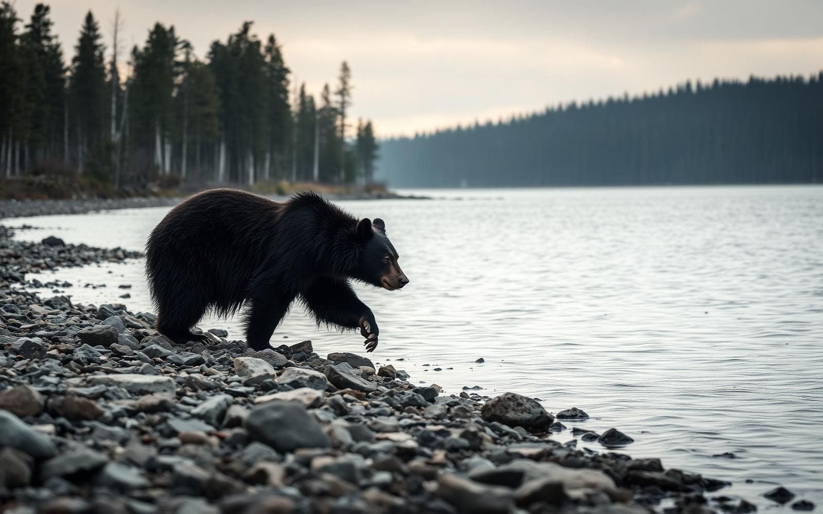
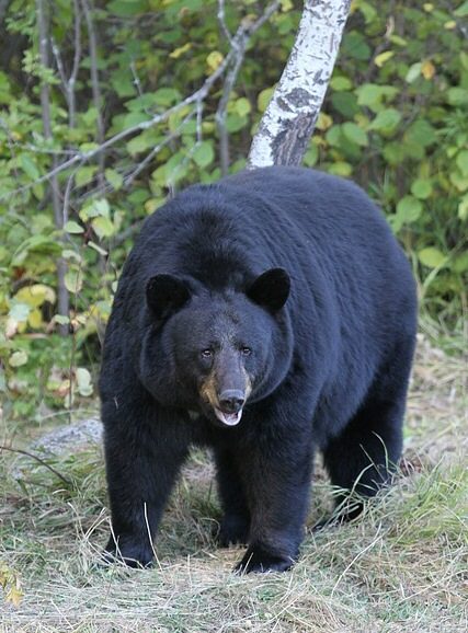
Wildflowers are abundant from March through June, making spring worth considering for plant-focused trips. Fire danger is a major planning concern in this chaparral landscape; check current Los Padres National Forest alerts and restrictions before departure rather than assuming access will remain unchanged. Potable water is not available at the listed wilderness recreation site. Bring drinking water for the approach, plan how to treat natural water, and confirm water availability for the intended route. An Adventure Pass is required for parking at trailheads. The wilderness includes the Sisquoc Condor Sanctuary and supports black bears, mountain lions, and smaller wildlife. Keep wildlife at a distance and secure food appropriately. Pack for exposed slopes as well as shaded river stretches, and allow extra time for rugged trails.
Route options
- Sisquoc River pathAbout 26 milesRelatively rugged wilderness trails
An east–west walking route following the Sisquoc River through a corridor of pools, waterfalls, and oak-shaded grasslands, with numerous campsites. The stated length covers the river-following path rather than a complete trailhead-to-trailhead itinerary.
- Manzana River-area hikes
Day-hiking and backpacking options in or near the wilderness around the Manzana River. Select a specific trail and confirm its approach, condition, and water availability before planning daily stages.
Sample itineraries
- Manzana-area day hike · 1 day
Choose a trail near the Manzana River for an out-and-back hike. Set the turnaround around daylight, water supplies, and the rugged terrain rather than a fixed destination. Confirm trailhead access with Los Padres National Forest before leaving.
- Sisquoc River backpack · 2 days
Plan an overnight out-and-back along a manageable section of the Sisquoc River path, which runs east-west through the wilderness. Expect pools, oak-shaded grasslands, and rugged walking. Confirm access, water availability, and camping requirements before choosing your route and overnight stop.
Seasonal conditions
Spring
March through June wildflower period
Wildflowers are abundant during this period. Spring high water can change conditions along the Sisquoc River; assess crossings rather than assuming shallow water. Rugged trails still require conservative pacing.
Summer
Summer
Chaparral, dry plateaus, and extreme fire danger make water planning and current access checks important. Check Los Padres National Forest alerts for restrictions and closures before committing to a trip.
Fall
Fall
Fire danger can remain a planning concern. Do not assume cooler weather means restrictions have ended. Confirm access and water availability before starting a backpacking trip.
Winter
Winter
Elevations range from 1,166 feet to over 6,800 feet, so prepare for different conditions between river corridors and high terrain. Check the forecast for your route's elevation and carry layers and weather protection.
| Season | Window | Conditions |
|---|---|---|
| Spring | March through June wildflower period | Wildflowers are abundant during this period. Spring high water can change conditions along the Sisquoc River; assess crossings rather than assuming shallow water. Rugged trails still require conservative pacing. |
| Summer | Summer | Chaparral, dry plateaus, and extreme fire danger make water planning and current access checks important. Check Los Padres National Forest alerts for restrictions and closures before committing to a trip. |
| Fall | Fall | Fire danger can remain a planning concern. Do not assume cooler weather means restrictions have ended. Confirm access and water availability before starting a backpacking trip. |
| Winter | Winter | Elevations range from 1,166 feet to over 6,800 feet, so prepare for different conditions between river corridors and high terrain. Check the forecast for your route's elevation and carry layers and weather protection. |
Permits, fees & closures
An Adventure Pass is required for parking at trailheads. Confirm any additional trip-specific requirements with Los Padres National Forest.
Official source: Los Padres National Forest | San Rafael Wilderness · Verified November 11, 2026
Hazards & regulations
- Extreme fire danger can affect access. Check current Los Padres National Forest alerts and fire-use restrictions before departure.
- Potable water is not available at the site. Carry drinking water and treatment equipment; confirm natural water availability rather than relying on mapped waterways.
- Trails are relatively rugged. Hurricane Deck includes steep escarpments, dry plateaus, and sandstone formations; match route difficulty to your experience.
- The Sisquoc River includes rocky shallows, pools, and waterfalls. Spring high water warrants extra caution near the river and at crossings.
- Black bears and mountain lions live here. Store food securely, give wildlife space, and avoid approaching animals.
What to pack for San Rafael Wilderness
- Drinking water and extra carrying capacity
- Water filter or other treatment
- Food and secure wildlife-resistant storage
- Detailed trail map
- Offline navigation and backup power
- Headlamp
- First-aid kit
- Emergency shelter
- Footwear suited to rocky trails
- Sun hat and sunscreen
- Insulating layers
- Weatherproof outer layer
- Backpacking shelter and sleep system for overnight trips
San Rafael Wilderness FAQ
- Where is San Rafael Wilderness?
- It lies in north-central Santa Barbara County within Los Padres National Forest, north of Santa Barbara and east of Santa Maria. The wilderness is near Figueroa Mountain, to its north and east.
- How demanding is the hiking?
- The wilderness has more than 125 miles of relatively rugged trails. Elevations range from 1,166 feet near the Manzana Creek–Sisquoc River confluence to over 6,800 feet on Big Pine Mountain. Plan around terrain and elevation, not mileage alone.
- Is drinking water provided?
- No potable water is provided at the site. Carry water, confirm natural source availability, and treat collected water. A route following a river does not eliminate the need for a water plan.
- Is the Sisquoc River suitable for paddling?
- It is generally too rocky and shallow for river running, except perhaps during spring high water. That exception is not a recommendation: pools, waterfalls, and changing flows require careful assessment.
- What is Hurricane Deck?
- Hurricane Deck is a 17-mile region of steep escarpments, grassy potreros, dry plateaus, and wind-carved sandstone formations. Its terrain calls for careful navigation and water planning; that length is not a suggested day-hike distance.
- Can a wilderness map point be used as a trailhead?
- No. An interior wilderness map point is not an access point, campsite, or trailhead. Choose a verified trailhead and confirm current access with Los Padres National Forest.