



- Region
- AZ, USA
- Country
- United States
- Best for
- hiking
- Best season
- Spring, Summer
- Permits
- Confirm current permit requirements and ca…
- Managed by
- U.S. Forest Service — Kaibab, Coconino, and Prescott National Forests
Plan with verified data
Sycamore Canyon Wilderness trip tools
Tools for a trip here
Picked for how, when and where you're going. Free, no signup.
Photos of Sycamore Canyon Wilderness
How to get there
The wilderness lies south of Williams and about 40 miles southwest of Flagstaff. Its upper reaches are at the southeastern edge of the Kaibab National Forest, where a limited network of forest roads and trails provides access. Additional routes are available through the Coconino National Forest. Confirm the approach for the chosen route with the Forest Service; the Williams Ranger District can be reached at 928-635-5600.
- Kaibab National Forest upper-canyon access
The canyon’s upper reaches lie along the forest’s southeastern edge. Limited forest roads and trails provide access, and the Sycamore Trail skirts the upper canyon. This is an access area rather than a single identified trailhead.
- Coconino National Forest access
Additional routes into the wilderness are available from this forest. Confirm a specific trailhead and its approach with the Forest Service before traveling.
Sources: fs.usda.gov · University of Montana / federal agency partners · Wilderness Connect / federal wilderness boundary inventory · Wikipedia. Confirm road and trailhead conditions with the managing agency before you leave.
AZ, USA · United States
- Hunting
- Mountaineering
- Desert Hiking
- Canyoneering
- Hiking
- Backpacking
- Wildlife Viewing
- Photography
From the Colorado Plateau to the Verde Valley
Sycamore Canyon Wilderness follows a deep cut through Arizona’s Mogollon Rim, extending from a pine- and fir-covered rim on the Colorado Plateau to a desert mouth in the Verde Valley. The canyon winds for about 20 miles along Sycamore Creek and reaches seven miles across in places. Its walls expose red sandstone, white limestone, and brown lava, with buttes, pinnacles, and sheer cliffs giving the terrain its shape. The wilderness spans portions of the Kaibab, Coconino, and Prescott national forests, south of Williams and southwest of Flagstaff. This is rugged canyon country with limited road and trail access, not a place where every viewpoint connects easily to the canyon floor. Choose between a rim-focused outing and a trip into the canyon before working out access and water needs.
Walking the rim and planning a canyon trip
The 11-mile Sycamore Rim Trail Loop offers a defined option for looking into the canyon. The Sycamore Trail skirts the upper reaches and provides starting places for further exploration, while additional routes enter from the Coconino National Forest. Hiking and backpacking are established activities here, and many trails also accommodate horseback riding. Mountain bikes and other vehicles are excluded from the wilderness; the Sycamore Canyon Scenic drive and bike route offers a separate way to see the landscape without taking them inside. For an overnight trip, confirm the intended route and current camping restrictions with the Forest Service rather than assuming every part of the canyon is available. Limited access and rugged terrain make a conservative itinerary more useful than an ambitious list of destinations.
Water, heat, and wildlife
Water planning is central to a trip here. Potable water is not available at the site, and year-round natural water is limited to the canyon’s lower reaches. Carry ample water when traveling up-canyon, and do not treat the presence of Sycamore Creek on a map as a dependable supply throughout the wilderness. Summers can be intensely hot; favor cooler conditions and match the day’s effort to the weather. Vegetation changes with elevation and moisture, from pine and fir to sycamore, walnut, and cottonwood near water. Wildlife includes black bears, mountain lions, elk, deer, ring-tailed cats, rattlesnakes, and scorpions. Keep food secured, give animals space, and watch where hands and feet go. Canyon wrens and hermit thrushes are also part of the canyon’s wildlife.
Where on earth
Satellite imagery flying in from a world view to Sycamore Canyon Wilderness, United States. Use the + / − buttons, or click the map to zoom with your scroll wheel; drag to pan and pinch to zoom on touch.
Coordinates
- Decimal degrees
- 35.0012, -111.9923
- Latitude (DMS)
- 35° 0′ 4.2″ N
- Longitude (DMS)
- 111° 59′ 32.3″ W
Coordinates are an access-point reference for Sycamore Canyon Wilderness, not a route. Carry a paper map and confirm trailhead or put-in access with the managing agency before you go.
Topic summary
This sprawling Arizona Wilderness encompasses all of Sycamore Canyon, from its pine- and fir-forested rim on the Colorado Plateau down through the Mogollon Rim to its desert mouth in the Verde Valley....
Key takeaways
- Region: AZ, USA
- Country: United States
- Good for: hiking
- Coordinates: 35.001, -111.992
Intended uses
hiking
Keep planning
Popular pursuits at Sycamore Canyon Wilderness
- Hunting
Seasons, tags, and the units that hold animals.
- Mountaineering
Glacier and high-route objectives with real consequence.
- Desert Hiking
Water carries and heat management drive the plan.
- Canyoneering
Narrows, downclimbs, and flash-flood timing.
- Hiking
Day miles on marked trail, with route notes and trail links below.
- Backpacking
Multi-day travel with everything on your back — see the packing blocks below.
Animals around Sycamore Canyon Wilderness


From the Colorado Plateau to the Verde Valley
Sycamore Canyon Wilderness follows a deep cut through Arizona’s Mogollon Rim, extending from a pine- and fir-covered rim on the Colorado Plateau to a desert mouth in the Verde Valley. The canyon winds for about 20 miles along Sycamore Creek and reaches seven miles across in places. Its walls expose red sandstone, white limestone, and brown lava, with buttes, pinnacles, and sheer cliffs giving the terrain its shape. The wilderness spans portions of the Kaibab, Coconino, and Prescott national forests, south of Williams and southwest of Flagstaff. This is rugged canyon country with limited road and trail access, not a place where every viewpoint connects easily to the canyon floor. Choose between a rim-focused outing and a trip into the canyon before working out access and water needs.
Walking the rim and planning a canyon trip
The 11-mile Sycamore Rim Trail Loop offers a defined option for looking into the canyon. The Sycamore Trail skirts the upper reaches and provides starting places for further exploration, while additional routes enter from the Coconino National Forest. Hiking and backpacking are established activities here, and many trails also accommodate horseback riding. Mountain bikes and other vehicles are excluded from the wilderness; the Sycamore Canyon Scenic drive and bike route offers a separate way to see the landscape without taking them inside. For an overnight trip, confirm the intended route and current camping restrictions with the Forest Service rather than assuming every part of the canyon is available. Limited access and rugged terrain make a conservative itinerary more useful than an ambitious list of destinations.
Water, heat, and wildlife
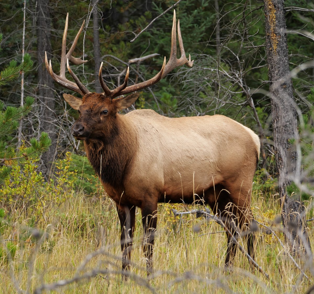
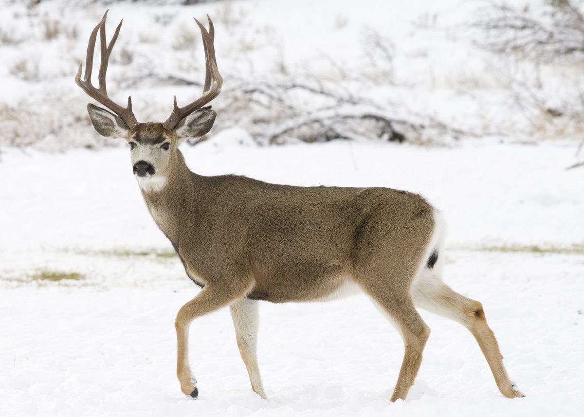
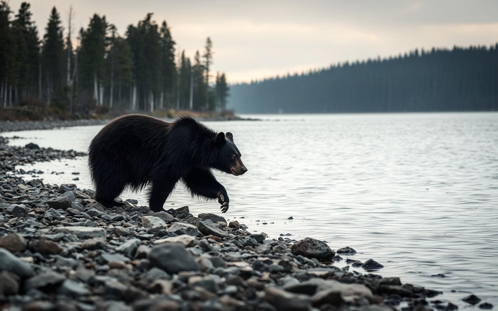
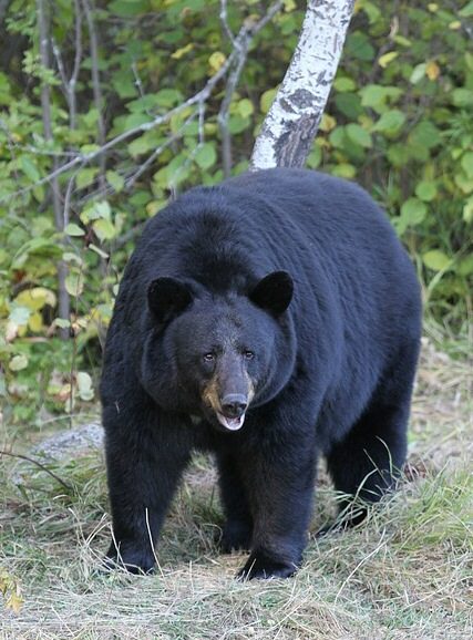
Water planning is central to a trip here. Potable water is not available at the site, and year-round natural water is limited to the canyon’s lower reaches. Carry ample water when traveling up-canyon, and do not treat the presence of Sycamore Creek on a map as a dependable supply throughout the wilderness. Summers can be intensely hot; favor cooler conditions and match the day’s effort to the weather. Vegetation changes with elevation and moisture, from pine and fir to sycamore, walnut, and cottonwood near water. Wildlife includes black bears, mountain lions, elk, deer, ring-tailed cats, rattlesnakes, and scorpions. Keep food secured, give animals space, and watch where hands and feet go. Canyon wrens and hermit thrushes are also part of the canyon’s wildlife.
Route options
- Sycamore Rim Trail Loop11 miles
A loop offering views into Sycamore Canyon. An option for a rim-focused hike rather than an itinerary following the canyon’s full length.
- Sycamore Trail
Skirts the canyon’s upper reaches and provides starting places for further exploration. Choose a specific itinerary and confirm access before setting out.
- Sycamore Canyon Scenic drive and bike route
A driving or cycling option for viewing the canyon landscape outside the wilderness, where mountain bikes and other vehicles are excluded.
Sample itineraries
- Sycamore Rim Trail Loop · 1 day
Hike the 11-mile Sycamore Rim Trail Loop for views into the canyon. Look for red sandstone, white limestone, and brown lava below the forested rim. Carry ample water and confirm access conditions before setting out.
- Upper Canyon Backpacking · 2 days
Use the Sycamore Trail along the upper canyon as the starting point for a planned overnight exploration. Confirm connecting trails and legal camping locations with the managing forest before departure. Carry ample water: year-round sources are limited to the lower canyon. Retrace the chosen route on the second day.
Seasonal conditions
Spring
Spring
Plan for differences between the pine- and fir-forested rim and the desert canyon below. Check weather at the elevation of the intended route, carry layers, and verify water sources rather than assuming Sycamore Creek supplies water throughout the canyon.
Summer
Summer
Extreme summer heat makes canyon travel a poor choice. Consider another season for backpacking, especially farther up the canyon where dependable water is limited. No potable water is available at the site.
Fall
Fall
Check temperatures for both rim and canyon elevations before choosing clothing and an overnight sleep system. Seasonal change does not remove the water problem: year-round water is limited to the lower reaches.
Winter
Winter
Do not treat the forested Colorado Plateau rim and desert mouth as having identical conditions. Check the route-specific forecast and forest-road access before departure. Pack insulation appropriate to the forecast and carry drinking water.
| Season | Window | Conditions |
|---|---|---|
| Spring | Spring | Plan for differences between the pine- and fir-forested rim and the desert canyon below. Check weather at the elevation of the intended route, carry layers, and verify water sources rather than assuming Sycamore Creek supplies water throughout the canyon. |
| Summer | Summer | Extreme summer heat makes canyon travel a poor choice. Consider another season for backpacking, especially farther up the canyon where dependable water is limited. No potable water is available at the site. |
| Fall | Fall | Check temperatures for both rim and canyon elevations before choosing clothing and an overnight sleep system. Seasonal change does not remove the water problem: year-round water is limited to the lower reaches. |
| Winter | Winter | Do not treat the forested Colorado Plateau rim and desert mouth as having identical conditions. Check the route-specific forecast and forest-road access before departure. Pack insulation appropriate to the forecast and carry drinking water. |
Permits, fees & closures
Confirm current permit requirements and camping restrictions with the managing national forest: Kaibab, Coconino, or Prescott. The Williams Ranger District can be reached at 928-635-5600.
Official source: Kaibab National Forest | Sycamore Canyon Wilderness · Verified November 4, 2026
Hazards & regulations
- Extreme summer heat can make strenuous canyon travel unsafe; choose another season rather than relying on extra water alone.
- No potable water is available at the site. Year-round natural water is limited to the lower canyon; carry ample water for upper-canyon travel.
- Sheer cliffs and rugged canyon terrain require careful footing and conservative route choices. Stay back from exposed edges.
- Limited forest-road and trail access makes this a remote outing. Carry navigation tools and leave a trip plan with a reliable contact.
- Rattlesnakes and scorpions live here. Watch hand and foot placement and check footwear before putting it on.
- Black bears and mountain lions inhabit the wilderness. Keep a distance from wildlife and secure food at camp.
What to pack for Sycamore Canyon Wilderness
- Ample drinking water and carrying capacity
- Water treatment for any natural water collected
- Sun hat
- Sunscreen
- Topographic map covering the chosen route
- Compass or offline navigation with backup power
- Headlamp
- First-aid kit
- Emergency shelter
- Footwear suited to rugged trails
- Layers appropriate to rim and canyon forecasts
- Weather protection
- Sleep system suited to forecast temperatures
- Wildlife-resistant food storage
Sycamore Canyon Wilderness FAQ
- Where is Sycamore Canyon Wilderness?
- It spans parts of the Kaibab, Coconino, and Prescott national forests in Arizona. The canyon cuts through the Mogollon Rim, extending from the forested Colorado Plateau to its desert mouth in the Verde Valley.
- What is a named day-hiking option?
- The 11-mile Sycamore Rim Trail Loop offers views into the canyon. Match the outing to fitness, daylight, weather, and water capacity; confirm current access before driving out.
- Can mountain bikes enter the wilderness?
- No. Mountain bikes and other vehicles are excluded from the wilderness. The Sycamore Canyon Scenic drive and bike route provides an alternative way to view the landscape without taking a bicycle into the wilderness.
- Is drinking water available?
- No potable water is available at the site. Year-round natural water is limited to the lower canyon. Carry ample water, especially when traveling up-canyon, and treat any natural water collected.
- Can visitors camp anywhere?
- No. Parts of the wilderness allow dispersed camping, but camping restrictions apply. Confirm legal overnight locations with the managing forest before planning a backpacking route.
- What distinguishes the landscape?
- Sycamore Canyon winds for 20 miles along Sycamore Creek and reaches seven miles across in places. Red sandstone, white limestone, and brown lava form its walls. Pine and fir grow on the rim, while sycamores, walnuts, and cottonwoods occupy water-supported canyon habitat.