



Where on earth
Satellite imagery flying in from a world view to Tombstone Territorial Park: Grizzly Lake Trail, Canada. Use the + / − buttons, or click the map to zoom with your scroll wheel; drag to pan and pinch to zoom on touch.
- Region
- Yukon Territory, Canada
- Country
- Canada
- Trip length
- 22 km out-and-back (11 km one way)
- Backpacking
- Hiking
- Hunting
- Climbing
- Mountaineering
- Winter Camping
- Skiing
- Wildlife Viewing
Key takeaways
- Trip length: 22 km out-and-back (11 km one way)
- Top activity: backpacking
Topic summary
An 11-kilometre subarctic trek across exposed alpine talus in central Yukon.
Intended uses
backpacking
Verification notes
Last verified October 16, 2026.
Tools for a trip here
Picked for how, when and where you're going. Free, no signup.
- Sleep System Temp CalculatorCold nights: check your bag and pad add up to a safe sleep.
- Base Weight CalculatorEvery ounce is carried — total your kit and find your base weight.
- Pack Volume SizerSize the pack for your trip length and season.
- Water Purification MatrixTreat water from streams and lakes on trail.
- Layering CalculatorCold-season miles: layer for climbs and camp.
Plan with verified data
Tombstone Territorial Park: Grizzly Lake Trail trip tools
How to get there
Reach the park via the Dempster Highway in central Yukon. Tombstone Territorial Park extends from the highway’s kilometre 50.5 marker to kilometre 115.0. Confirm the precise Grizzly Lake Trail starting point and current access conditions with park staff before travelling.
- Dempster Highway corridor
The main road-access corridor through the park area. Numerous hiking trails enter the park from this strip, which also contains several car-camping sites. Confirm which starting point serves the Grizzly Lake Trail.
- Tombstone interpretive centre
A summer information stop along the Dempster corridor, offering resources for backcountry access and interpretive programs. Use it for trip preparation; it should not be assumed to be the Grizzly Lake trailhead.
Sources: Wikipedia · Wikivoyage. Confirm road and trailhead conditions with the managing agency before you leave.
Popular pursuits at Tombstone Territorial Park: Grizzly Lake Trail
- Backpacking
Multi-day travel with everything on your back — see the packing blocks below.
- Hiking
Day miles on marked trail, with route notes and trail links below.
- Climbing
Rock and alpine lines with approach beta.
- Mountaineering
Glacier and high-route objectives with real consequence.
- Winter Camping
Cold-season travel and camp craft; layering matters more than mileage.
- Skiing
Ski-touring access when the road closes for the season.
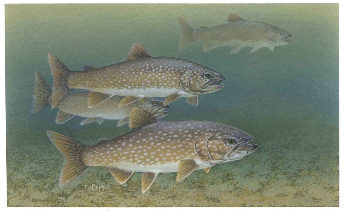
Animals around Tombstone Territorial Park: Grizzly Lake Trail







Maps, GPS & compass for this trip
Carry a waterproof paper map and a compass you can steer by, and treat the GPS as the backup — not the other way round. Buying links go to Amazon; Wild10 earns a commission at no cost to you.
Waterproof topo maps
- Waterproof topographic map — Tombstone Territorial Park: Grizzly Lake TrailAmazon search for waterproof, tear-resistant topo maps covering this area.
- National Geographic Trails IllustratedThe waterproof Trails Illustrated series — check for a sheet covering this area.
- Waterproof map case & compass lanyardKeep a paper map readable in rain, spray and a swamped boat.
Fishing at Tombstone Territorial Park: Grizzly Lake Trail
Planning to fish Tombstone Territorial Park: Grizzly Lake Trail, Yukon? Fishing licences, open seasons and catch limits in Yukon are set by the local wildlife authority and change every year — check the official source before you cast a line.
Do I need a fishing licence at Tombstone Territorial Park: Grizzly Lake Trail?
- A Yukon fishing licence is normally required for anyone over the local youth age.
- Read the current Yukon fishing regulations for special waters, barbless-hook or catch-and-release rules.
- Clean, drain and dry boats and gear between waters to stop invasive species.
Hunting near Tombstone Territorial Park: Grizzly Lake Trail
Thinking about hunting Tombstone Territorial Park: Grizzly Lake Trail, Yukon? Hunting seasons, tags and draws in Yukon are set by the wildlife authority each year. Confirm the rules for your species and unit before you go.
Is hunting allowed at Tombstone Territorial Park: Grizzly Lake Trail?
- Confirm the land around Tombstone Territorial Park: Grizzly Lake Trail is open to hunting and which management unit it falls in.
What do I need to hunt in Yukon?
- A Yukon hunting licence — most jurisdictions also require hunter education certification.
- Species tags or draw results for big game such as deer, elk, moose or bear where they occur.
- Knowledge of firearm and bow transport rules, which differ by land type and border crossing.
Grizzly Lake in its park setting
Grizzly Lake is one of three designated backcountry campground locations in Tombstone Territorial Park, alongside Divide and Talus Lakes. The park protects more than 2,100 square kilometres of central Yukon, including parts of the Blackstone Uplands and Ogilvie Mountains. Rugged peaks, permafrost landforms and a major watershed divide define the wider landscape. For a Grizzly Lake Trail trip, treat that setting as backcountry rather than an extension of the highway: carry navigation, weather protection and supplies appropriate to mountain travel. Confirm the trail’s current condition, access details and camping requirements with park staff before setting out. The Dempster Highway provides the park’s main access corridor, but proximity to a road does not establish the difficulty or duration of a particular hike.
Rock, ice and a continental divide
Tombstone’s terrain reflects both its underlying rock and an uneven history of glaciation. A belt of granitic and syenitic rock forms part of the divide between waters draining toward the Yukon River and Bering Sea, and those draining toward the Mackenzie River and Beaufort Sea. Glaciations reached the region from the east, shaping a pocket of rugged terrain beside parts of Beringia that remained unglaciated. North of the divide, gentler permafrost landscapes include pingos, moraines, ice-wedge polygons and frost mounds. These are features of the wider park, not a checklist of sights guaranteed along the Grizzly Lake Trail. Keep travel on established surfaces where available, and avoid damaging fragile ground when stopping or choosing a place to rest.
Wildlife, stewardship and trip preparation
The park supports Dall’s sheep, caribou, moose, black bears and grizzly bears, as well as smaller mammals. About 150 bird species have been identified here. Give wildlife room, keep food and scented items secured, and review bear-safety practices before travelling into the backcountry. Tombstone was created through the land settlement agreement with the Tr’ondëk Hwëch’in First Nation and is jointly administered by the First Nation and the territorial government. Its protection extends to physical, biological, archaeological and cultural values. A summer interpretive centre along the Dempster corridor offers backcountry resources and interpretive programs. Use it to build an understanding of the area, and confirm current trip requirements with the managing agency rather than assuming that campground designation alone establishes access arrangements.
Route options
- Grizzly Lake Trail
The focus for a Grizzly Lake trip. Grizzly Lake has a designated backcountry campground; confirm the trail alignment, travel demands and current campground arrangements with park staff before committing to an itinerary.
- Hikes from the Dempster corridor
Numerous trails enter Tombstone Territorial Park from the highway corridor. Ask at the interpretive centre about an appropriate alternative if the Grizzly Lake trip does not match the conditions or the group’s experience.
Sample itineraries
- Grizzly Lake overnight · 2 days
Plan an overnight focused on Grizzly Lake and its designated backcountry campground. In summer, stop at the Dempster corridor interpretive centre for backcountry information before setting out. Confirm the route, current conditions and campground requirements; allow enough time for rugged terrain rather than assuming a quick approach.
- Orientation day and Grizzly Lake overnight · 3 days
Use the first day in summer to visit the interpretive centre and prepare for the backcountry, with car camping in the Dempster corridor as an option. Devote the remaining two days to a proposed Grizzly Lake overnight, subject to confirmed access, conditions and a realistic hiking schedule.
Seasonal conditions
Spring
Spring transition
Do not assume summer-like access in this northern mountain setting. Confirm snow, thaw and trail conditions before committing to Grizzly Lake. Permafrost landforms are part of the park's landscape; avoid damaging soft ground.
Summer
Summer
Yukon summers bring extremely long daylight hours and can have warm days. The Dempster corridor interpretive centre opens in summer. Long daylight does not remove the demands of rugged mountain terrain; carry layers and check conditions before departure.
Fall
Fall transition
Plan conservatively as daylight decreases toward the Yukon's short winter days. Carry insulation and confirm trail conditions and visitor-service availability rather than assuming summer operations continue.
Winter
Winter
Yukon winters have extremely short, extremely cold days. Treat a winter visit as a separate undertaking requiring cold-weather skills and equipment, not an extension of a summer hiking plan. Confirm access and route suitability with the managing agency.
| Season | Window | Conditions |
|---|---|---|
| Spring | Spring transition | Do not assume summer-like access in this northern mountain setting. Confirm snow, thaw and trail conditions before committing to Grizzly Lake. Permafrost landforms are part of the park's landscape; avoid damaging soft ground. |
| Summer | Summer | Yukon summers bring extremely long daylight hours and can have warm days. The Dempster corridor interpretive centre opens in summer. Long daylight does not remove the demands of rugged mountain terrain; carry layers and check conditions before departure. |
| Fall | Fall transition | Plan conservatively as daylight decreases toward the Yukon's short winter days. Carry insulation and confirm trail conditions and visitor-service availability rather than assuming summer operations continue. |
| Winter | Winter | Yukon winters have extremely short, extremely cold days. Treat a winter visit as a separate undertaking requiring cold-weather skills and equipment, not an extension of a summer hiking plan. Confirm access and route suitability with the managing agency. |
Permits, fees & closures
Confirm current backcountry permit, campground and booking requirements with the managing agency before planning a Grizzly Lake overnight.
Confirm current permits, fees, and closures with the managing agency before you go.
Hazards & regulations
- Rugged mountain terrain can make progress demanding. Confirm the Grizzly Lake route and plan daily travel around the group's ability.
- Black bears and grizzly bears inhabit the park. Keep food secured, maintain distance and prepare for bear encounters.
- Extreme winter cold and short daylight require conservative planning and appropriate cold-weather equipment.
- Permafrost landforms and sensitive ground require careful travel. Avoid damaging soft surfaces and follow managing-agency guidance.
What to pack for Tombstone Territorial Park: Grizzly Lake Trail
- Route map and compass
- Offline navigation with backup power
- Current route and campground information
- Insulating layers and weatherproof outerwear
- Sturdy hiking footwear
- Shelter, sleeping bag and sleeping pad suited to expected temperatures
- Headlamp
- Bear-aware food storage appropriate to agency guidance
- Bear deterrent and knowledge of its use
- Water containers and treatment
- First-aid kit and emergency supplies
Wildlife you may see
- Dall's sheep
- Caribou
- Moose
- Black bears
- Grizzly bears
- Smaller mammals
- About 150 bird species identified across the park
Tombstone Territorial Park: Grizzly Lake Trail FAQ
- Where is Tombstone Territorial Park?
- The park lies in central Yukon near the southern end of the Dempster Highway, extending alongside highway kilometre markers 50.5 to 115.0. It includes parts of the Blackstone Uplands and Ogilvie Mountains.
- Is there a designated campground at Grizzly Lake?
- Grizzly Lake is one of three designated backcountry campground locations in the park, alongside Divide and Talus Lakes. Confirm current camping requirements and availability with the managing agency.
- Where can hikers get backcountry information?
- The interpretive centre in the Dempster corridor provides backcountry information and interpretive programs in summer. Several car camping sites are also located along this corridor.
- What landscape should hikers expect?
- Tombstone protects more than 2,100 square kilometres of rugged peaks, permafrost landforms and wildlife habitat. Glaciation shaped its mountain terrain, while areas farther north include gentler permafrost landscapes.
- Who manages the park?
- The territorial government and the Tr’ondëk Hwëch’in First Nation jointly administer the park. Its mandate includes preserving and enhancing physical, biological, archaeological and cultural values.
- Are wildlife sightings guaranteed at Grizzly Lake?
- No. Sheep, caribou, moose and bears occur in the park, but their presence does not guarantee sightings along a particular route. Observe from a distance and avoid approaching or feeding wildlife.