



- Region
- WA, USA
- Country
- United States
- Best for
- hiking
- Best season
- Spring, Summer
- Permits
- At Hell's Crossing, a Washington State Sno…
- Managed by
- U.S. Forest Service — Okanogan-Wenatchee National Forest and Gifford Pinchot National Forest. Naches Ranger District is the contact for Hell's Crossing.
Plan with verified data
William O. Douglas Wilderness trip tools
Tools for a trip here
Picked for how, when and where you're going. Free, no signup.
Photos of William O. Douglas Wilderness
How to get there
For Hell's Crossing, start in Naches and take US-12 west for 4.4 miles, then continue onto WA-410 west for about 32 miles. The trailhead is on the left, across the road from Hell's Crossing Campground, at an elevation of 3,250 feet. Another approach follows roads from the north up Bumping River toward Bumping Lake; the roads and central lake area are outside the wilderness.
- Hell's Crossing Sno-Park/Trailhead
Large trailhead near the American River and Hell's Crossing Campground. Provides access to Goat Peak Trail #958C and Pleasant Valley Loop Trail #999 to the south. Wilderness regulations apply when entering William O. Douglas Wilderness. Restrooms are available at the nearby campground, but potable water is not available at the trailhead.
- Bumping Lake approach
Roads follow Bumping River from the north into the central area around Bumping Lake, outside the wilderness boundary. Wilderness terrain rises to broad ridges east and west of the lake. Treat this as an approach corridor rather than a specific trailhead; confirm the intended trail access before driving.
Sources: fs.usda.gov · University of Montana / federal agency partners · Wilderness Connect / federal wilderness boundary inventory · Wikipedia. Confirm road and trailhead conditions with the managing agency before you leave.
WA, USA · United States
- Hunting
- Mountaineering
- Winter Camping
- Skiing
- Hiking
- Backpacking
- Wildlife Viewing
- Canoeing
Ridges, forests and a lake-filled plateau
William O. Douglas Wilderness occupies a varied stretch of central Washington between US-12 and WA-410. Mount Rainier National Park borders it on the west, with Norse Peak Wilderness to the north and Goat Rocks Wilderness to the south. Around Bumping Lake, a central area outside the wilderness, the surrounding terrain rises east and west into broad ridges capped by rocky summits. Lower elevations hold subalpine meadows and old-growth fir, hemlock and cedar; beyond the eastern ridge, the landscape opens into ponderosa pine country. The southern portion has a different character: a broad, park-like plateau with thinning forest, 59 lakes and roughly 200 additional ponds and pools. Choose a trip by terrain rather than treating the wilderness as one uniform landscape: ridge walking, forest travel and lake-country exploration offer distinctly different outings.
Choosing a walking or packing trip
A network of 66 trails totaling about 250 miles gives hikers and horsepackers many ways into the wilderness. The Pacific Crest Trail follows the western ridge and crosses the southern plateau, linking two of the area's defining landscapes. For a named starting point on the northern side, Hell's Crossing provides access southward to Goat Peak Trail #958C and Pleasant Valley Loop Trail #999. Check the trail name and direction carefully here: Fifes Ridge Trail heads north toward Norse Peak Wilderness instead. Most wilderness trails accommodate horsepacking, but Spring Trail and Goat Peak Trail are exceptions. Match the route to the group and its means of travel before setting out. With sharp ridges, steep slopes and numerous lakes spread across the area, a detailed map is more useful than choosing a destination by name alone.
Weather, water and seasonal access
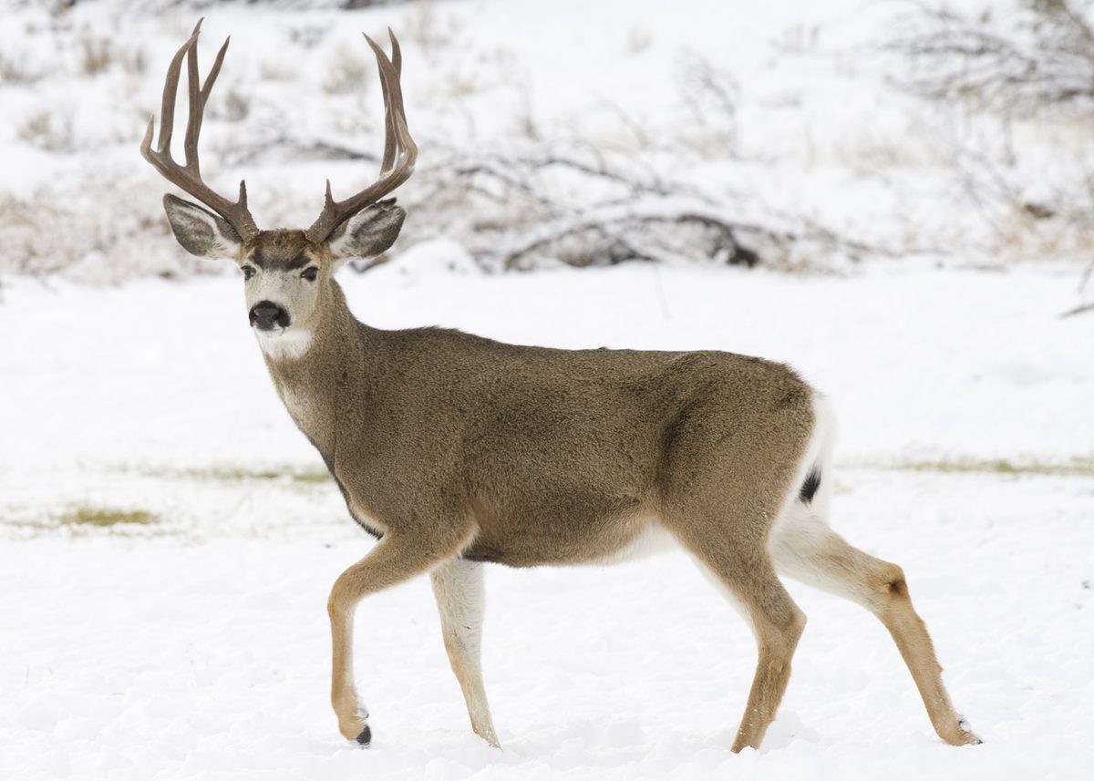
Conditions differ substantially across this wilderness. The western side can receive as much as 120 inches of precipitation annually, while the eastern side may receive only 20 to 24 inches. Snow usually begins by November, and patches often remain at higher elevations until midsummer. Plan clothing and navigation for the elevation and side of the wilderness being visited, and check snow conditions before committing to a high route. Elk, mule deer, mountain goats, fishers, foxes and grouse inhabit the area; give animals space and keep food secured. At Hell's Crossing, bring drinking water because potable water is unavailable; restrooms are at the nearby campground. In winter, the parking area becomes a Sno-Park with 12 spaces. A Washington State Sno-Park Permit is required there December 1 through March 31; confirm operating updates before traveling.
Where on earth
Satellite imagery flying in from a world view to William O. Douglas Wilderness, United States. Use the + / − buttons, or click the map to zoom with your scroll wheel; drag to pan and pinch to zoom on touch.
Coordinates
- Decimal degrees
- 46.8058, -121.2356
- Latitude (DMS)
- 46° 48′ 20.8″ N
- Longitude (DMS)
- 121° 14′ 8.1″ W
Coordinates are an access-point reference for William O. Douglas Wilderness, not a route. Carry a paper map and confirm trailhead or put-in access with the managing agency before you go.
Topic summary
This magnificent region pays tribute to the Wilderness-loving Supreme Court justice who often explored the area on foot. It lies bordered to the west by Mount Rainier National Park, with Norse Peak and...
Key takeaways
- Region: WA, USA
- Country: United States
- Good for: hiking
- Coordinates: 46.806, -121.236
Intended uses
hiking
Keep planning
Popular pursuits at William O. Douglas Wilderness
- Hunting
Seasons, tags, and the units that hold animals.
- Mountaineering
Glacier and high-route objectives with real consequence.
- Winter Camping
Cold-season travel and camp craft; layering matters more than mileage.
- Skiing
Ski-touring access when the road closes for the season.
- Hiking
Day miles on marked trail, with route notes and trail links below.
- Backpacking
Multi-day travel with everything on your back — see the packing blocks below.
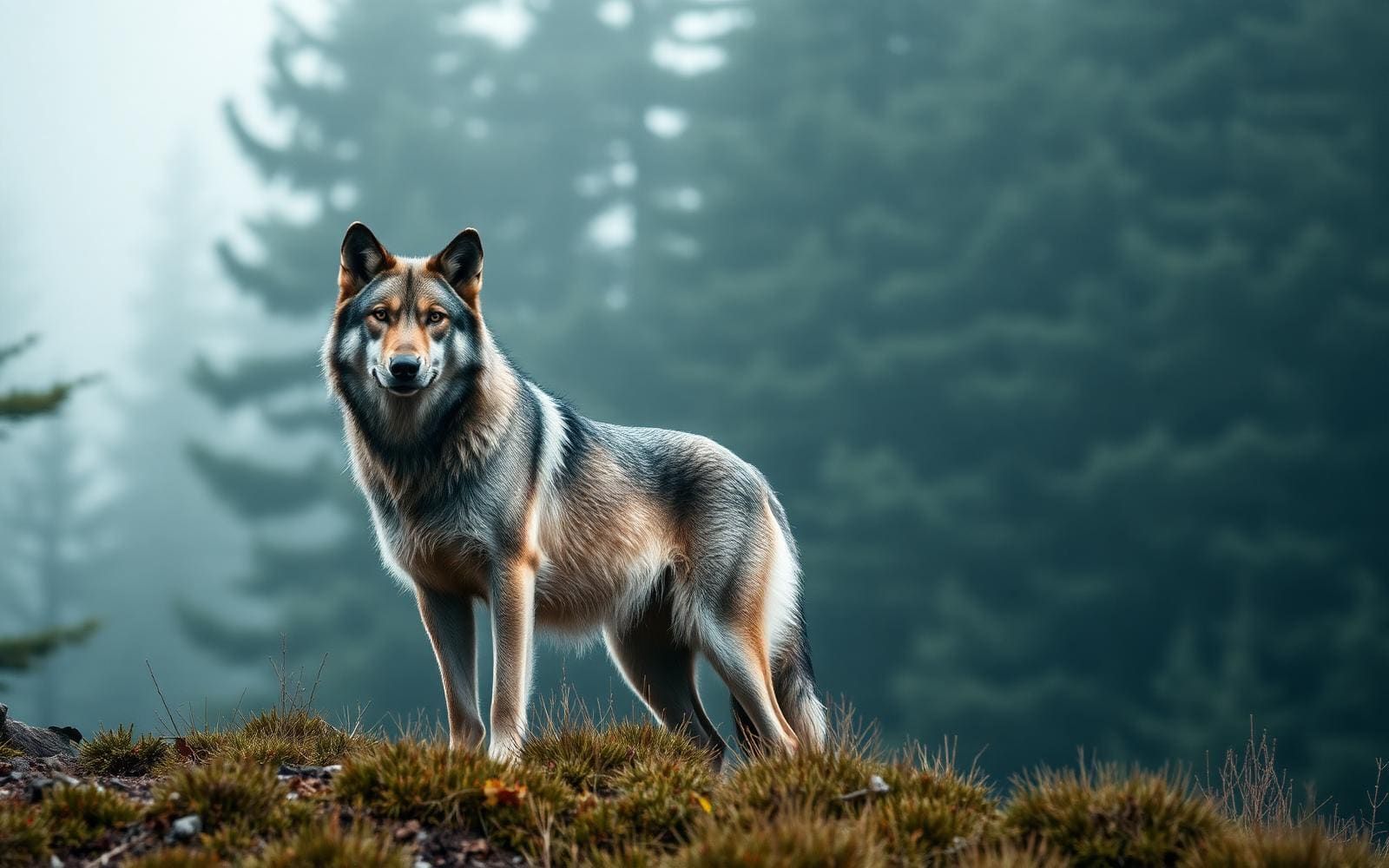
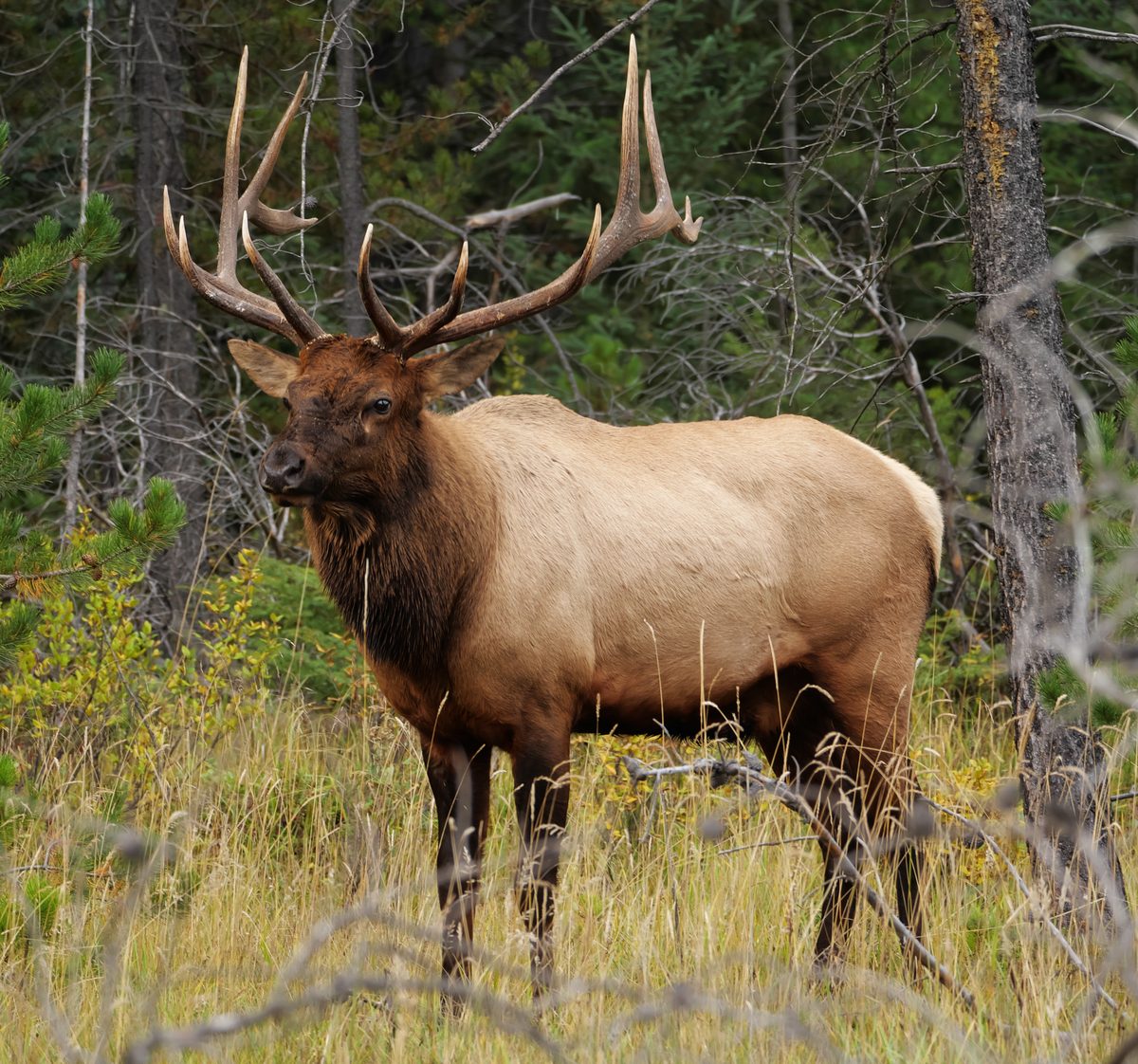
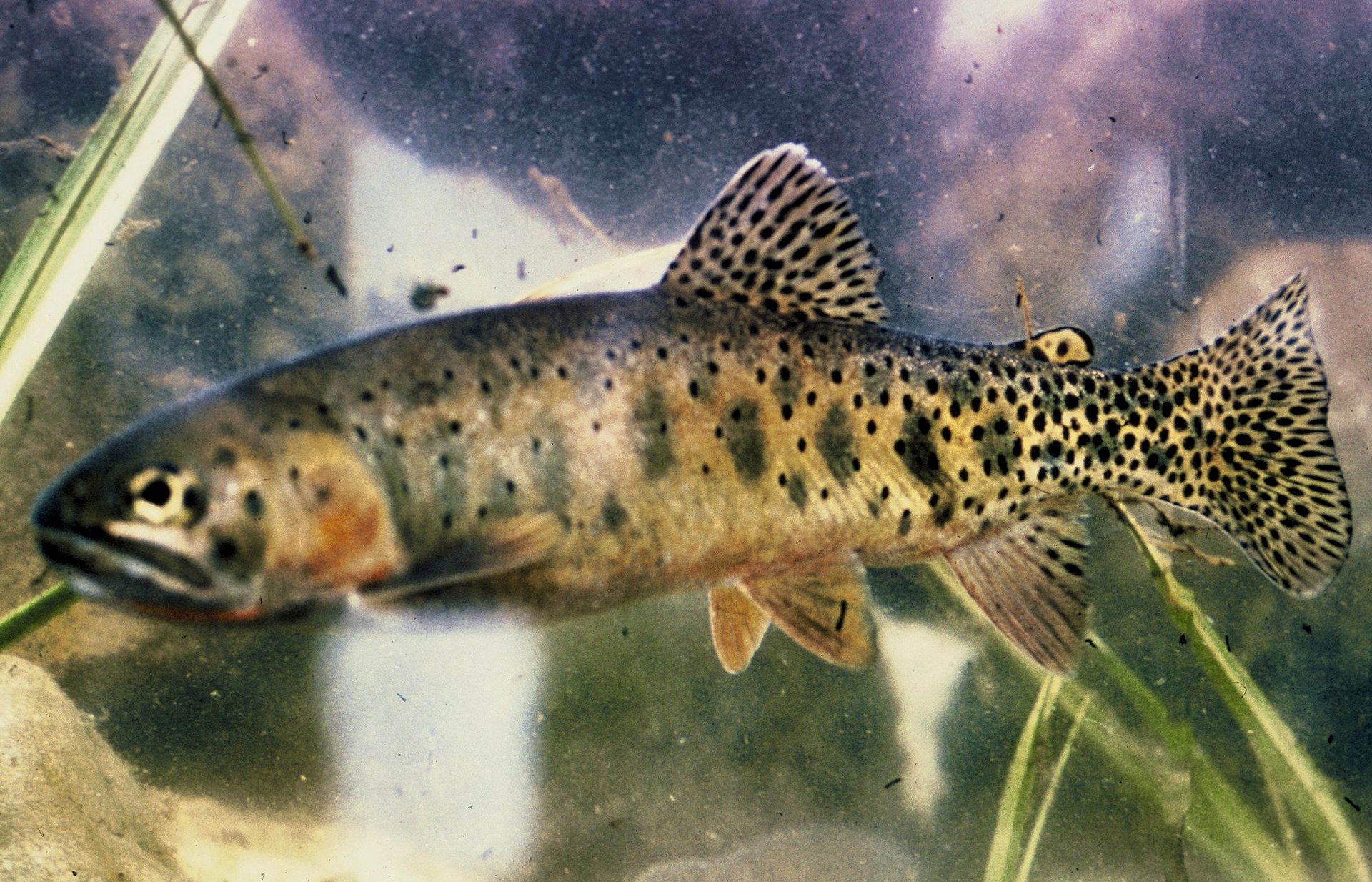
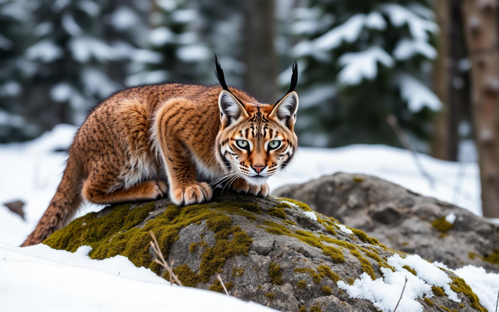
Animals around William O. Douglas Wilderness
Ridges, forests and a lake-filled plateau
William O. Douglas Wilderness occupies a varied stretch of central Washington between US-12 and WA-410. Mount Rainier National Park borders it on the west, with Norse Peak Wilderness to the north and Goat Rocks Wilderness to the south. Around Bumping Lake, a central area outside the wilderness, the surrounding terrain rises east and west into broad ridges capped by rocky summits. Lower elevations hold subalpine meadows and old-growth fir, hemlock and cedar; beyond the eastern ridge, the landscape opens into ponderosa pine country. The southern portion has a different character: a broad, park-like plateau with thinning forest, 59 lakes and roughly 200 additional ponds and pools. Choose a trip by terrain rather than treating the wilderness as one uniform landscape: ridge walking, forest travel and lake-country exploration offer distinctly different outings.
Choosing a walking or packing trip
A network of 66 trails totaling about 250 miles gives hikers and horsepackers many ways into the wilderness. The Pacific Crest Trail follows the western ridge and crosses the southern plateau, linking two of the area's defining landscapes. For a named starting point on the northern side, Hell's Crossing provides access southward to Goat Peak Trail #958C and Pleasant Valley Loop Trail #999. Check the trail name and direction carefully here: Fifes Ridge Trail heads north toward Norse Peak Wilderness instead. Most wilderness trails accommodate horsepacking, but Spring Trail and Goat Peak Trail are exceptions. Match the route to the group and its means of travel before setting out. With sharp ridges, steep slopes and numerous lakes spread across the area, a detailed map is more useful than choosing a destination by name alone.
Weather, water and seasonal access
Conditions differ substantially across this wilderness. The western side can receive as much as 120 inches of precipitation annually, while the eastern side may receive only 20 to 24 inches. Snow usually begins by November, and patches often remain at higher elevations until midsummer. Plan clothing and navigation for the elevation and side of the wilderness being visited, and check snow conditions before committing to a high route. Elk, mule deer, mountain goats, fishers, foxes and grouse inhabit the area; give animals space and keep food secured. At Hell's Crossing, bring drinking water because potable water is unavailable; restrooms are at the nearby campground. In winter, the parking area becomes a Sno-Park with 12 spaces. A Washington State Sno-Park Permit is required there December 1 through March 31; confirm operating updates before traveling.
Route options
- Goat Peak Trail #958C
Access this trail from Hell's Crossing for travel south into William O. Douglas Wilderness. Goat Peak Trail is one of the wilderness trails not open to horsepackers.
- Pleasant Valley Loop Trail #999
A named hiking option reached from Hell's Crossing, providing access to William O. Douglas Wilderness to the south. Confirm the intended loop and current trail conditions before departure.
- Pacific Crest Trail
Follows the wilderness's western ridge and crosses its southern plateau. Consider this corridor for a trip combining crest travel with the plateau's forest-and-lake landscape; select entry and exit trails before setting an itinerary.
Sample itineraries
- Pleasant Valley day hike · 1 day
Start at Hell's Crossing Trailhead for access to Pleasant Valley Loop Trail #999 south into William O. Douglas Wilderness. Bring drinking water; none is available at the trailhead. Restrooms are available at the nearby campground.
- Goat Peak Trail day outing · 1 day
Use Hell's Crossing to access Goat Peak Trail #958C. Check trail conditions before setting a turnaround point, particularly while snow remains at higher elevations. Carry navigation tools and layers for changing mountain weather.
- Pleasant Valley winter ski day · 1 day
Start at Hell's Crossing Sno-Park for the Pleasant Valley Trail System, which offers 6 miles of groomed cross-country ski trails and other marked routes. Confirm operating conditions before traveling. Winter parking has 12 spaces; this is an access-area outing rather than a wilderness traverse.
Seasonal conditions
Spring
Before high-elevation snow clears
Snow can remain high in the wilderness well beyond spring. Check conditions before committing to ridge or plateau routes. The western side is substantially wetter than the eastern side, so prepare for wet travel rather than assuming uniform conditions.
Summer
Snow patches can linger until midsummer
Higher routes may still hold snow patches into midsummer. Forest, meadow, ridge and lake terrain offer varied hiking conditions. Carry rain protection on the wetter western side and sufficient drinking water even when traveling among lakes and ponds.
Fall
Snow usually begins by November
Plan for the transition to snow, especially on high ridges. Keep routes flexible as conditions change. The wilderness's strong west-to-east precipitation difference makes location important when assessing forecasts and packing layers.
Winter
Winter snow season
Hell's Crossing becomes a Sno-Park with access to cross-country skiing in the Pleasant Valley Trail System. Operating schedules can change. Check Washington State Parks winter recreation updates before departure and prepare for snow and cold.
| Season | Window | Conditions |
|---|---|---|
| Spring | Before high-elevation snow clears | Snow can remain high in the wilderness well beyond spring. Check conditions before committing to ridge or plateau routes. The western side is substantially wetter than the eastern side, so prepare for wet travel rather than assuming uniform conditions. |
| Summer | Snow patches can linger until midsummer | Higher routes may still hold snow patches into midsummer. Forest, meadow, ridge and lake terrain offer varied hiking conditions. Carry rain protection on the wetter western side and sufficient drinking water even when traveling among lakes and ponds. |
| Fall | Snow usually begins by November | Plan for the transition to snow, especially on high ridges. Keep routes flexible as conditions change. The wilderness's strong west-to-east precipitation difference makes location important when assessing forecasts and packing layers. |
| Winter | Winter snow season | Hell's Crossing becomes a Sno-Park with access to cross-country skiing in the Pleasant Valley Trail System. Operating schedules can change. Check Washington State Parks winter recreation updates before departure and prepare for snow and cold. |
Permits, fees & closures
At Hell's Crossing, a Washington State Sno-Park Permit is required December 1 through March 31. Wilderness regulations apply when entering William O. Douglas Wilderness. Confirm any additional trip-specific requirements with the managing national forest.
Fees: Hell's Crossing lists no site fees. The seasonal Sno-Park Permit requirement still applies.
Official source: Hell's Crossing Sno-Park/Trailhead · Verified November 12, 2026
Hazards & regulations
- Snow often lingers at higher elevations until midsummer and usually begins falling again by November; do not assume high routes are snow-free.
- Sharp ridges and steep slopes require careful route selection and footing, particularly where snow remains.
- The western side receives much more precipitation than the eastern side. Prepare for wet conditions and avoid treating the whole wilderness as one weather zone.
- Hell's Crossing has no potable water. Arrive with drinking water and carry treatment equipment if relying on natural sources.
What to pack for William O. Douglas Wilderness
- Topographic map and compass
- Offline navigation with spare power
- Footwear suited to steep, uneven trails
- Rain jacket and protected dry layers
- Insulating layer
- Warm hat and gloves
- Drinking water filled before arrival
- Water treatment for natural sources
- Food, first-aid kit and headlamp
- Emergency shelter
- Cross-country skis, boots and poles
- Extra dry layers
- Required seasonal Sno-Park Permit
William O. Douglas Wilderness FAQ
- Where is William O. Douglas Wilderness?
- It lies in Central Washington between US-12 and State Route 410, bordering Mount Rainier National Park to the west. Norse Peak Wilderness is north and Goat Rocks Wilderness is south. Okanogan-Wenatchee and Gifford Pinchot national forests jointly administer it.
- How do you reach Hell's Crossing Trailhead?
- From Naches, take US-12 west for 4.4 miles, then continue onto WA-410 west for about 32 miles. The trailhead is on the left, across the road from Hell's Crossing Campground. Its elevation is 3,250 feet.
- What terrain distinguishes this wilderness?
- High ridges and rock summits rise above old-growth fir, hemlock and cedar forests. Eastern slopes transition toward open ridges and ponderosa pine. The southern plateau holds dozens of lakes and hundreds of ponds and pools among thinning forest.
- Does the Pacific Crest Trail cross the wilderness?
- Yes. The Pacific Crest Trail follows the western ridge and crosses the southern plateau. Use a current trail map to select access points and establish a route suited to your time and conditions.
- Is Bumping Lake inside the wilderness?
- The central section around Bumping Lake is outside the wilderness. Roads approach it from the north along Bumping River. Wilderness terrain rises to the west and east; distinguish the road-accessible lake area from the surrounding wilderness when planning.
- Can horses use the trails?
- Most trails are open to horsepackers, but Spring Trail and Goat Peak Trail are exceptions. Confirm current stock regulations and route conditions with the managing national forest before planning a horse trip.