



- Region
- WA, USA
- Country
- United States
- Best for
- hiking
- Best season
- Spring, Summer
- Permits
- Confirm current permit, fee, and reservati…
- Managed by
- U.S. Forest Service, Olympic National Forest; Hood Canal Ranger District office in Quilcene
Plan with verified data
Wonder Mountain Wilderness trip tools
Tools for a trip here
Picked for how, when and where you're going. Free, no signup.
Photos of Wonder Mountain Wilderness
How to get there
For Forest Road 2355, drive north from Shelton on Highway 101 about 12 miles, then take Skokomish Valley Road west to Forest Road 23. Follow Forest Road 23 northwest, take the right fork toward Lebar Horse Camp onto Forest Road 2353, and stay left at the junction with Forest Road 2355. For Forest Road 2451-100, take Lake Cushman Road (SR-119) northwest from Hoodsport to Forest Road 24 at Big Creek Campground. Go west on Forest Road 24 toward Olympic National Park, turn left onto Forest Road 2451 before reaching the park, and follow it to the 2451-100 spur. Check directions, conditions, and closures with the Hood Canal Ranger District office in Quilcene at (360) 765-2200.
- Forest Road 2355
A principal road approach reached from Shelton via Skokomish Valley Road and Forest Roads 23 and 2353. Upper portions require a high-clearance vehicle. Seasonal closure runs from October 1 to May 1 to protect wildlife. Access beyond the road is cross-country, not by constructed trail.
- Forest Road 2451-100
A principal road approach reached from Hoodsport via Lake Cushman Road and Forest Roads 24 and 2451. Upper portions require a high-clearance vehicle. Seasonal closure runs from October 1 to May 1 to protect wildlife. Confirm current conditions before attempting this approach; there is no constructed trail into the wilderness.
Sources: fs.usda.gov · University of Montana / federal agency partners · Wilderness Connect / federal wilderness boundary inventory · Wikipedia. Confirm road and trailhead conditions with the managing agency before you leave.
WA, USA · United States
- Climbing
- Mountaineering
- Winter Camping
- Skiing
- Hiking
- Backpacking
- Wildlife Viewing
- Canoeing
Small wilderness, rugged terrain
Wonder Mountain Wilderness occupies 2,349 acres west of Lake Cushman in Mason County, Washington, bordering Olympic National Park. It is one of the smallest wilderness areas in the western United States, but its compact boundary holds substantial relief: elevations rise from 1,740 feet in McKay Creek to 4,758 feet on Wonder Mountain. Dense Douglas-fir, western hemlock, and Pacific silver fir cover the lower slopes. Higher ground breaks into massive rock outcrops and precipitous pinnacles. Wonder Ponds and other small ponds sit in the high headwaters of McKay Creek; there are no rivers or major streams within the wilderness. The landscape offers primitive backpacking, camping, fishing, and mountain climbing, with excellent opportunities for solitude. Its small size should not be mistaken for easy access or straightforward travel.
Cross-country travel, not trail hiking
There are no constructed trails within Wonder Mountain Wilderness, and no trails lead to its boundaries. Every outing requires cross-country route finding rather than following a maintained tread. Steep forested slopes, exposed ridges, and tangles of huckleberry and thimbleberry make movement demanding; alder, willow, and vine maple thicken the creek corridors. Carry a map and compass and know how to use them before leaving the road. Plan around terrain and navigation rather than assuming a normal trail-hiking pace. Wonder Mountain and Wonder Ponds are possible objectives, not destinations connected by established hiking routes. Rain gear, adequate clothing, food, and backpacking equipment are essential. Precipitation can be substantial and often falls as snow, so road access alone does not establish that upper slopes are suitable for a particular trip.
Seasonal access and primitive camping
Forest Road 2355 and Forest Road 2451-100 provide the two principal road approaches. Both require high-clearance vehicles on their upper portions, and both have seasonal closures from October 1 to May 1 to protect wildlife. Confirm directions, road conditions, and any additional closures with the Hood Canal Ranger District office in Quilcene before departure. Once inside the wilderness, use Leave No Trace practices and plan for primitive camping rather than developed facilities. Fires and wood gathering are prohibited above 3,500 feet. Fires are also prohibited at Wonder Ponds and every other pond in the wilderness; use a stove instead. Groups may not exceed 12 people or eight head of livestock. Equipment, personal property, and supplies may not be left unattended for more than 24 hours. Confirm any permit requirements with Olympic National Forest.
Where on earth
Satellite imagery flying in from a world view to Wonder Mountain Wilderness, United States. Use the + / − buttons, or click the map to zoom with your scroll wheel; drag to pan and pinch to zoom on touch.
Coordinates
- Decimal degrees
- 47.5087, -123.4257
- Latitude (DMS)
- 47° 30′ 31.4″ N
- Longitude (DMS)
- 123° 25′ 32.5″ W
Coordinates are an access-point reference for Wonder Mountain Wilderness, not a route. Carry a paper map and confirm trailhead or put-in access with the managing agency before you go.
Topic summary
Located in the southeast corner of Olympic National Forest, little Wonder Mountain Wilderness extends south roughly in the shape of a triangle. A high ridge encompasses the southern point of the triangle...
Key takeaways
- Region: WA, USA
- Country: United States
- Good for: hiking
- Coordinates: 47.509, -123.426
Intended uses
hiking
Keep planning
Popular pursuits at Wonder Mountain Wilderness
- Climbing
Rock and alpine lines with approach beta.
- Mountaineering
Glacier and high-route objectives with real consequence.
- Winter Camping
Cold-season travel and camp craft; layering matters more than mileage.
- Skiing
Ski-touring access when the road closes for the season.
- Hiking
Day miles on marked trail, with route notes and trail links below.
- Backpacking
Multi-day travel with everything on your back — see the packing blocks below.
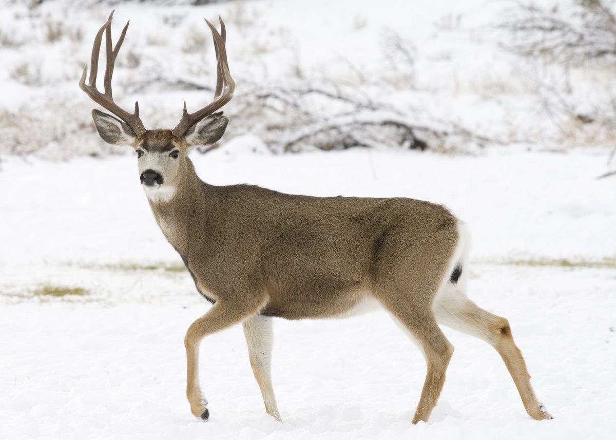
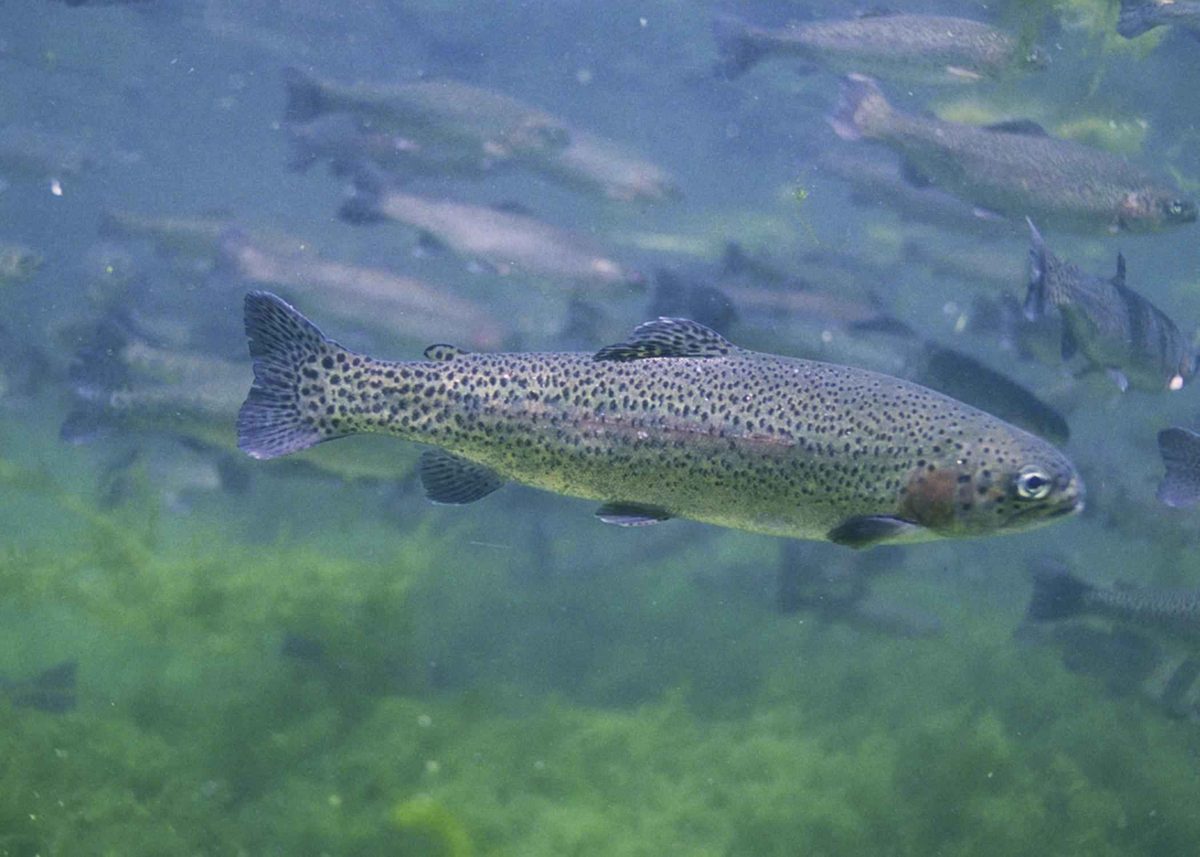
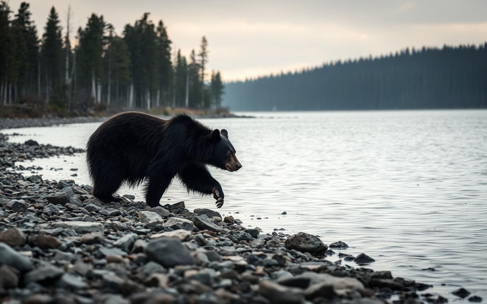
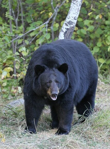
Animals around Wonder Mountain Wilderness
Small wilderness, rugged terrain
Wonder Mountain Wilderness occupies 2,349 acres west of Lake Cushman in Mason County, Washington, bordering Olympic National Park. It is one of the smallest wilderness areas in the western United States, but its compact boundary holds substantial relief: elevations rise from 1,740 feet in McKay Creek to 4,758 feet on Wonder Mountain. Dense Douglas-fir, western hemlock, and Pacific silver fir cover the lower slopes. Higher ground breaks into massive rock outcrops and precipitous pinnacles. Wonder Ponds and other small ponds sit in the high headwaters of McKay Creek; there are no rivers or major streams within the wilderness. The landscape offers primitive backpacking, camping, fishing, and mountain climbing, with excellent opportunities for solitude. Its small size should not be mistaken for easy access or straightforward travel.
Cross-country travel, not trail hiking
There are no constructed trails within Wonder Mountain Wilderness, and no trails lead to its boundaries. Every outing requires cross-country route finding rather than following a maintained tread. Steep forested slopes, exposed ridges, and tangles of huckleberry and thimbleberry make movement demanding; alder, willow, and vine maple thicken the creek corridors. Carry a map and compass and know how to use them before leaving the road. Plan around terrain and navigation rather than assuming a normal trail-hiking pace. Wonder Mountain and Wonder Ponds are possible objectives, not destinations connected by established hiking routes. Rain gear, adequate clothing, food, and backpacking equipment are essential. Precipitation can be substantial and often falls as snow, so road access alone does not establish that upper slopes are suitable for a particular trip.
Seasonal access and primitive camping
Forest Road 2355 and Forest Road 2451-100 provide the two principal road approaches. Both require high-clearance vehicles on their upper portions, and both have seasonal closures from October 1 to May 1 to protect wildlife. Confirm directions, road conditions, and any additional closures with the Hood Canal Ranger District office in Quilcene before departure. Once inside the wilderness, use Leave No Trace practices and plan for primitive camping rather than developed facilities. Fires and wood gathering are prohibited above 3,500 feet. Fires are also prohibited at Wonder Ponds and every other pond in the wilderness; use a stove instead. Groups may not exceed 12 people or eight head of livestock. Equipment, personal property, and supplies may not be left unattended for more than 24 hours. Confirm any permit requirements with Olympic National Forest.
Route options
- Wonder Mountain cross-country objectiveDifficult cross-country mountain travel
Wonder Mountain is the wilderness high point. Treat it as a self-planned mountain objective, not an established summit route. The surrounding terrain includes steep forested slopes, exposed ridges, massive rock outcrops, and precipitous pinnacles. Navigation skills and terrain assessment are central to planning.
- Wonder Ponds cross-country objectiveDifficult cross-country travel
The ponds in the high headwaters of McKay Creek offer an objective for self-planned cross-country travel or primitive backpacking. No constructed trail reaches them, and forest and brush complicate travel. Fires are prohibited at Wonder Ponds and all other ponds in the wilderness; use a stove.
Sample itineraries
- Cross-country day exploration · 1 day
For experienced off-trail travelers, plan a conservative outing on Wonder Mountain Wilderness’s forested lower slopes. Confirm access via Forest Road 2355 or Forest Road 2451-100 before leaving. Navigate with map and compass, allow extra time for dense vegetation, and turn back before terrain exceeds the group’s abilities.
- Wonder Ponds overnight · 2 days
Plan a self-navigated backpack toward Wonder Ponds in the high headwaters of McKay Creek. This is a cross-country objective, not an established route. Allow substantial time for steep slopes and brush, select a low-impact camping location, and use a stove: fires are prohibited at every pond.
Seasonal conditions
Spring
Spring; access-road closures extend to May 1
Snow and wet ground can complicate cross-country travel. Both major access roads have seasonal wildlife closures from October 1 to May 1. Confirm road status and upper-elevation conditions with the Hood Canal Ranger District before planning access.
Summer
Summer
Summer temperatures seldom exceed 80 degrees Fahrenheit, but rain protection remains essential. Dense brush, steep forested slopes, and exposed ridges make travel demanding even in favorable weather. Upper portions of both access roads require high-clearance vehicles.
Fall
Fall; seasonal access-road closures begin October 1
Prepare for wet weather and possible snow in this precipitation-heavy wilderness. Both major access roads close seasonally to protect wildlife beginning October 1. Check current conditions rather than assuming an early-fall trip has reliable vehicle access.
Winter
Winter; within the October 1–May 1 access-road closure period
Precipitation often falls as snow. Trail-free terrain, steep slopes, and exposed ridges make winter navigation particularly demanding. Seasonal closures restrict vehicle access on both major approach roads; confirm conditions and access with the ranger district.
| Season | Window | Conditions |
|---|---|---|
| Spring | Spring; access-road closures extend to May 1 | Snow and wet ground can complicate cross-country travel. Both major access roads have seasonal wildlife closures from October 1 to May 1. Confirm road status and upper-elevation conditions with the Hood Canal Ranger District before planning access. |
| Summer | Summer | Summer temperatures seldom exceed 80 degrees Fahrenheit, but rain protection remains essential. Dense brush, steep forested slopes, and exposed ridges make travel demanding even in favorable weather. Upper portions of both access roads require high-clearance vehicles. |
| Fall | Fall; seasonal access-road closures begin October 1 | Prepare for wet weather and possible snow in this precipitation-heavy wilderness. Both major access roads close seasonally to protect wildlife beginning October 1. Check current conditions rather than assuming an early-fall trip has reliable vehicle access. |
| Winter | Winter; within the October 1–May 1 access-road closure period | Precipitation often falls as snow. Trail-free terrain, steep slopes, and exposed ridges make winter navigation particularly demanding. Seasonal closures restrict vehicle access on both major approach roads; confirm conditions and access with the ranger district. |
Permits, fees & closures
Confirm current permit, fee, and reservation requirements with Olympic National Forest’s Hood Canal Ranger District in Quilcene before travel.
Official source: Olympic National Forest | Wonder Mountain Wilderness · Verified November 12, 2026
Hazards & regulations
- There are no constructed trails within the wilderness. Cross-country navigation is required; carry a map and compass and know how to use them.
- Steep forested slopes and dense alder, willow, vine maple, and berry tangles can slow travel substantially. Keep daily objectives conservative.
- Higher elevations contain massive rock outcrops, precipitous pinnacles, and exposed ridges. Avoid committing to terrain without a safe return option.
- Heavy precipitation, often falling as snow, can leave travelers cold and wet. Carry rain gear, insulating clothing, and adequate food.
- Forest Road 2355 and Forest Road 2451-100 require high-clearance vehicles in their upper portions and close seasonally for wildlife protection. Confirm additional road restrictions before departure.
What to pack for Wonder Mountain Wilderness
- Topographic map showing wilderness boundaries and approach roads
- Compass
- Protective map case
- Rain jacket and rain pants
- Insulating layers
- Sturdy footwear for steep, brushy terrain
- Protective clothing for dense vegetation
- Adequate food and an extra margin for slow travel
- Water containers and treatment
- Backpacking stove and fuel
- Weather-ready shelter and sleeping equipment
Wonder Mountain Wilderness FAQ
- Where is Wonder Mountain Wilderness?
- It lies west of Lake Cushman in Mason County, Washington, within Olympic National Forest and bordering Olympic National Park. The 2,349-acre wilderness ranges from 1,740 feet in McKay Creek to 4,758 feet at Wonder Mountain’s summit.
- Are there hiking trails or a beginner-friendly route?
- There are no constructed trails within the wilderness, and no trails lead to its boundaries. Travel requires cross-country route finding through steep forest and brush. This is not a suitable place to rely on a marked path or learn navigation without experienced support.
- How is the wilderness accessed?
- The two major approach roads are Forest Road 2355 and Forest Road 2451-100. Their upper portions require high-clearance vehicles. Both have seasonal wildlife closures from October 1 to May 1. Contact the Hood Canal Ranger District in Quilcene at 360-765-2200 for directions, road conditions, and closures.
- Are campfires allowed?
- Fires are prohibited at Wonder Ponds and all other ponds; use a stove. Fires and wood gathering are also prohibited above 3,500 feet within the wilderness. Check current fire restrictions before departure.
- What group and equipment restrictions apply?
- Groups exceeding 12 people or eight head of livestock are prohibited. Do not leave equipment, personal property, or supplies unattended for more than 24 hours. Follow wilderness regulations and Leave No Trace practices.
- What recreation and water features are found here?
- Backpacking, mountain climbing, fishing, and primitive camping are available. Wonder Ponds and several other ponds lie in the high headwaters of McKay Creek. There are no rivers or major streams within the wilderness. Plan water supplies carefully and treat collected water.