



- Region
- AZ, USA
- Country
- United States
- Best for
- hiking
- Best season
- Spring, Summer
- Permits
- Confirm current permit requirements, campi…
- Managed by
- U.S. Forest Service, Prescott National Forest
Plan with verified data
Woodchute Wilderness trip tools
Tools for a trip here
Picked for how, when and where you're going. Free, no signup.
Photos of Woodchute Wilderness
How to get there
Woodchute Wilderness lies in Prescott National Forest about 4 miles west of Jerome, Arizona. Confirm road approaches and trailhead locations with Prescott National Forest before driving. Use a trailhead-specific map rather than an interior wilderness map point for navigation.
- Woodchute Trail #102
The main trail serving the wilderness and its only Forest Service-listed maintained trail. Confirm the trailhead location and road approach with Prescott National Forest.
- Rick Tank Cutoff Trail #104 connection
A trail connection with Woodchute Trail #102 in the southern part of the wilderness. Treat this as an on-trail connection, not a confirmed roadside trailhead.
Sources: fs.usda.gov · University of Montana / federal agency partners · Wilderness Connect / federal wilderness boundary inventory · Wikipedia. Confirm road and trailhead conditions with the managing agency before you leave.
AZ, USA · United States
- Hunting
- Mountaineering
- Desert Hiking
- Canyoneering
- Hiking
- Backpacking
- Wildlife Viewing
- Horseback Riding
Woodchute Mountain and the surrounding country
Woodchute Wilderness protects 5,923 acres in Prescott National Forest, about 4 miles west of Jerome. Designated in 1984, it occupies the flanks of Woodchute Mountain at elevations ranging from 5,500 to 7,800 feet. That elevation span shapes the trip: upper slopes support ponderosa pine forest, while lower, drier ground carries pinyon pine and Utah juniper. Views reach north toward the San Francisco Peaks and east across the Verde Valley toward Sedona’s red rocks; Sycamore Canyon is also part of the wider landscape visible from the wilderness. The area is relatively easy to access, but that should not be confused with developed facilities or a dense trail network. Its appeal is a small mountain wilderness with forest walking, broad views, and substantial ground beyond the established routes.
A limited trail network and a working-land history
Woodchute Trail #102 is the main route through the wilderness and the only trail identified by Prescott National Forest as maintained. In the southern part of the wilderness, it connects with Rick Tank Cutoff Trail #104, a 1.4-mile route. Those two names provide the starting point for planning, but the connection alone is not enough to assume a loop or assign a complete trip distance. Choose a turnaround that fits the party and use a map to establish the intended route before setting out. The wilderness name comes from its connection to Jerome’s mining years. Wood from the mountain supplied the town, and a chute on the north side helped move it downhill. That history adds context to a landscape now managed for wilderness recreation rather than timber delivery.
Water, elevation, and wildlife planning
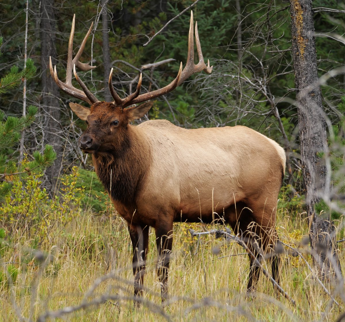
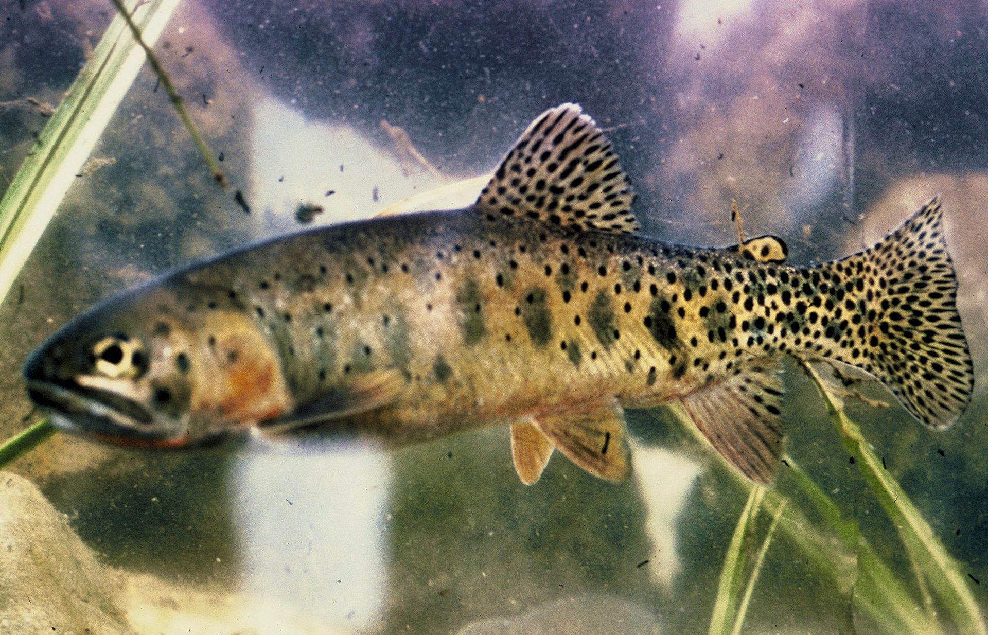
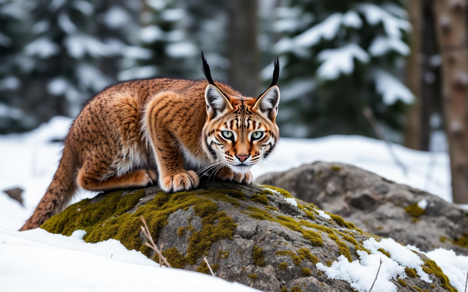
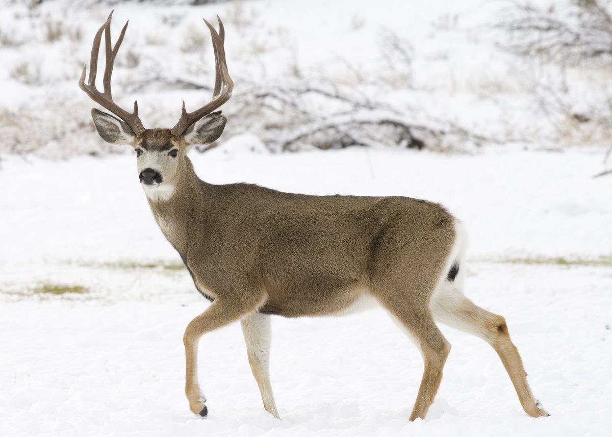
Higher elevations bring comparatively comfortable summer temperatures and ponderosa pine shade, but conditions should still guide clothing, water, and turnaround decisions. Carry the drinking water needed for the outing: potable water is not available at the site. Restroom availability is not established, so plan for a self-sufficient visit rather than relying on facilities. Hiking, backpacking, and horse camping are listed recreation opportunities. The elevation changes also support varied wildlife, including black bears, elk, mule deer, whitetail deer, mountain lions, and golden and bald eagles. Give animals space, keep food secured, and avoid approaching wildlife for a closer look. Before leaving, check current Prescott National Forest alerts and confirm any permit requirements with the forest. Relatively easy access does not remove the need for careful preparation once on the trail.
Where on earth
Satellite imagery flying in from a world view to Woodchute Wilderness, United States. Use the + / − buttons, or click the map to zoom with your scroll wheel; drag to pan and pinch to zoom on touch.
Coordinates
- Decimal degrees
- 34.7523, -112.1864
- Latitude (DMS)
- 34° 45′ 8.2″ N
- Longitude (DMS)
- 112° 11′ 11.0″ W
Coordinates are an access-point reference for Woodchute Wilderness, not a route. Carry a paper map and confirm trailhead or put-in access with the managing agency before you go.
Topic summary
An easily accessible Wilderness, Woodchute offers spectacular views of the San Francisco Peaks and panoramic vistas of the Verde Valley, as well as the red rocks of Sedona and Sycamore Canyon. Historically...
Key takeaways
- Region: AZ, USA
- Country: United States
- Good for: hiking
- Coordinates: 34.752, -112.186
Intended uses
hiking
Keep planning
Popular pursuits at Woodchute Wilderness
- Hunting
Seasons, tags, and the units that hold animals.
- Mountaineering
Glacier and high-route objectives with real consequence.
- Desert Hiking
Water carries and heat management drive the plan.
- Canyoneering
Narrows, downclimbs, and flash-flood timing.
- Hiking
Day miles on marked trail, with route notes and trail links below.
- Backpacking
Multi-day travel with everything on your back — see the packing blocks below.
Animals around Woodchute Wilderness

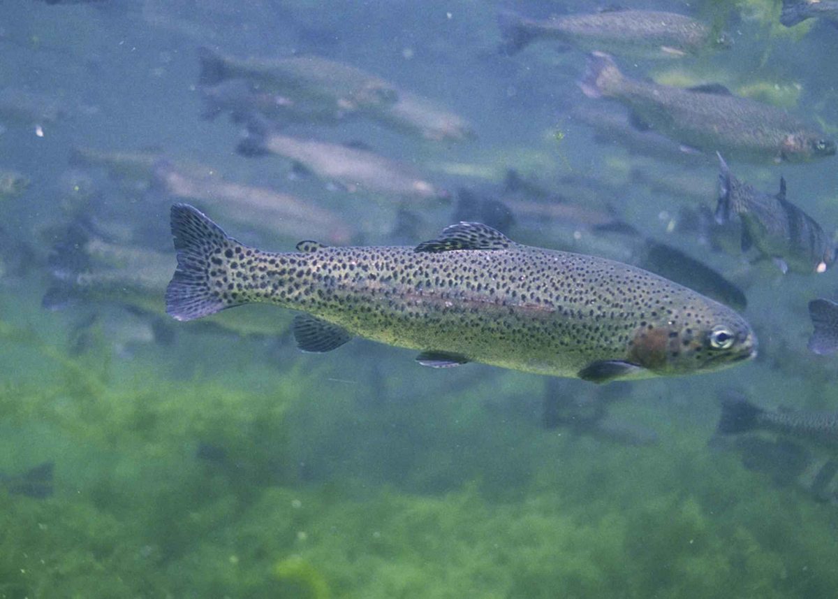
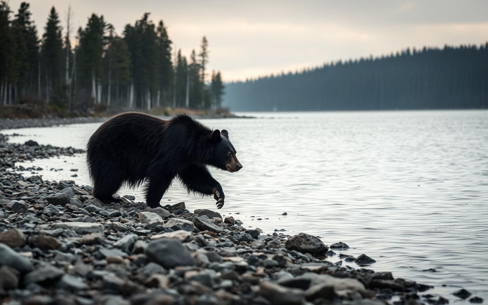
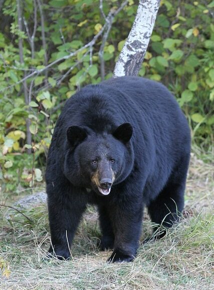
Woodchute Mountain and the surrounding country
Woodchute Wilderness protects 5,923 acres in Prescott National Forest, about 4 miles west of Jerome. Designated in 1984, it occupies the flanks of Woodchute Mountain at elevations ranging from 5,500 to 7,800 feet. That elevation span shapes the trip: upper slopes support ponderosa pine forest, while lower, drier ground carries pinyon pine and Utah juniper. Views reach north toward the San Francisco Peaks and east across the Verde Valley toward Sedona’s red rocks; Sycamore Canyon is also part of the wider landscape visible from the wilderness. The area is relatively easy to access, but that should not be confused with developed facilities or a dense trail network. Its appeal is a small mountain wilderness with forest walking, broad views, and substantial ground beyond the established routes.
A limited trail network and a working-land history
Woodchute Trail #102 is the main route through the wilderness and the only trail identified by Prescott National Forest as maintained. In the southern part of the wilderness, it connects with Rick Tank Cutoff Trail #104, a 1.4-mile route. Those two names provide the starting point for planning, but the connection alone is not enough to assume a loop or assign a complete trip distance. Choose a turnaround that fits the party and use a map to establish the intended route before setting out. The wilderness name comes from its connection to Jerome’s mining years. Wood from the mountain supplied the town, and a chute on the north side helped move it downhill. That history adds context to a landscape now managed for wilderness recreation rather than timber delivery.
Water, elevation, and wildlife planning
Higher elevations bring comparatively comfortable summer temperatures and ponderosa pine shade, but conditions should still guide clothing, water, and turnaround decisions. Carry the drinking water needed for the outing: potable water is not available at the site. Restroom availability is not established, so plan for a self-sufficient visit rather than relying on facilities. Hiking, backpacking, and horse camping are listed recreation opportunities. The elevation changes also support varied wildlife, including black bears, elk, mule deer, whitetail deer, mountain lions, and golden and bald eagles. Give animals space, keep food secured, and avoid approaching wildlife for a closer look. Before leaving, check current Prescott National Forest alerts and confirm any permit requirements with the forest. Relatively easy access does not remove the need for careful preparation once on the trail.
Route options
- Woodchute Trail #102
Use the main maintained trail for a hike with a turnaround selected to suit the party. Establish the full itinerary on a trail map; no complete route distance or difficulty rating is established here.
- Rick Tank Cutoff Trail #1041.4 miles
A short connecting trail meeting Woodchute Trail #102 in the southern wilderness. Its stated length is for the cutoff itself, not a complete outing including approach and return.
Sample itineraries
- Woodchute Trail #102 Day Hike · 1 day
Follow Woodchute Trail #102, the wilderness's maintained trail, on an out-and-back suited to available time and energy. Look for views toward the San Francisco Peaks and Verde Valley. Carry all drinking water and choose a turnaround rather than assuming a loop.
- Woodchute Overnight · 2 days
Plan a backpacking out-and-back using Woodchute Trail #102. Spend time among the upper-elevation ponderosa pines and return the following day. Confirm camping requirements and trail conditions with Prescott National Forest before leaving; plan water supplies without relying on a refill.
Seasonal conditions
Spring
Spring; check conditions before departure
Elevations range from 5,500 to 7,800 feet, so prepare for changing temperatures between lower woodland and upper forest. Carry layers and check the forecast for the higher terrain rather than relying on conditions near Jerome.
Summer
Summer
Higher elevations generally offer comfortable summer temperatures and ponderosa pine shade. Lower elevations are relatively drier. Carry all drinking water; potable water is not available at the site.
Fall
Fall; check conditions before departure
Plan clothing for elevation-related temperature changes and cooler stops in the upper forest. Check the forecast and current Prescott National Forest alerts before committing to an overnight.
Winter
Winter; verify upper-elevation conditions
Do not assume this is a warm desert outing: the wilderness reaches 7,800 feet. Check mountain weather and trail conditions, carry insulating layers, and shorten plans when conditions exceed available equipment or experience.
| Season | Window | Conditions |
|---|---|---|
| Spring | Spring; check conditions before departure | Elevations range from 5,500 to 7,800 feet, so prepare for changing temperatures between lower woodland and upper forest. Carry layers and check the forecast for the higher terrain rather than relying on conditions near Jerome. |
| Summer | Summer | Higher elevations generally offer comfortable summer temperatures and ponderosa pine shade. Lower elevations are relatively drier. Carry all drinking water; potable water is not available at the site. |
| Fall | Fall; check conditions before departure | Plan clothing for elevation-related temperature changes and cooler stops in the upper forest. Check the forecast and current Prescott National Forest alerts before committing to an overnight. |
| Winter | Winter; verify upper-elevation conditions | Do not assume this is a warm desert outing: the wilderness reaches 7,800 feet. Check mountain weather and trail conditions, carry insulating layers, and shorten plans when conditions exceed available equipment or experience. |
Permits, fees & closures
Confirm current permit requirements, camping rules, and access conditions with Prescott National Forest before your trip.
Official source: Prescott National Forest | Woodchute Wilderness · Verified November 12, 2026
Hazards & regulations
- No potable water is available at the site. Carry enough drinking water for the full outing rather than assuming a refill.
- Terrain ranges from 5,500 to 7,800 feet. Account for elevation and temperature changes when setting pace and choosing clothing.
- Black bears and mountain lions inhabit the wilderness. Keep wildlife at a distance and secure food during overnight trips.
- Only Trail #102 is identified as maintained. Carry a map and confirm conditions before relying on connecting trails.
What to pack for Woodchute Wilderness
- Drinking water for the full trip
- Extra water capacity for overnight plans
- Trail food
- Wildlife-resistant food storage for overnight trips
- Topographic map covering Munds Draw and Hickey Mountain
- Offline navigation and backup power
- Headlamp
- First-aid kit
- Layers suitable for upper-elevation temperatures
- Sun protection
- Weather protection
- Shelter and sleeping gear appropriate to the forecast for backpacking
Woodchute Wilderness FAQ
- Where is Woodchute Wilderness?
- Woodchute Wilderness lies in Prescott National Forest, Arizona, about 4 miles west of Jerome. Its 5,923 acres span elevations from 5,500 to 7,800 feet on the flanks of Woodchute Mountain.
- Which trail should a first visit focus on?
- Woodchute Trail #102 is the maintained trail identified by Prescott National Forest. It connects with Rick Tank Cutoff Trail #104 in the southern wilderness. Confirm the connector's condition before building it into a route.
- Is drinking water available?
- No potable water is available at the site. Bring drinking water for the entire outing. For backpacking, plan water capacity before choosing trip length.
- What can be seen from the wilderness?
- Views include the San Francisco Peaks, Verde Valley, Sedona's red rocks, and Sycamore Canyon. Upper elevations support ponderosa pine forest, while pinyon pine and Utah juniper occupy lower, drier ground.
- How did Woodchute get its name?
- The mountain supplied wood to Jerome during its mining boom. A chute on the north side carried wood down toward the town.
- Can the mapped wilderness point be used for driving directions?
- No. The mapped inventory point lies inside the wilderness and is not a trailhead, campsite, or access point. Obtain trail access directions from Prescott National Forest rather than navigating to that point.