



- Region
- AK, USA
- Country
- United States
- Best for
- hiking
- Best season
- Spring, Summer
- Permits
- Confirm current permit requirements, activ…
- Managed by
- U.S. Fish and Wildlife Service, Koyukuk National Wildlife Refuge
Plan with verified data
Koyukuk Wilderness trip tools
Tools for a trip here
Picked for how, when and where you're going. Free, no signup.
Photos of Koyukuk Wilderness
How to get there
Koyukuk National Wildlife Refuge lies about 270 miles west of Fairbanks in interior Alaska. There are no roads or maintained trails in Koyukuk Wilderness. Confirm practical arrival and departure arrangements with the U.S. Fish and Wildlife Service; do not assume a named waterway or destination provides an established landing, launch or trailhead.
- Koyukuk River
The river defines the floodplain containing the refuge and wilderness. It is a geographic starting point for access planning, not a specified launch or landing location; confirm a suitable entry arrangement with the refuge.
- Three-Day Slough
An area within the wilderness that receives some public use, primarily by moose hunters in fall. Treat it as an area to discuss when arranging access, not as a confirmed developed access point.
Sources: fws.gov · University of Montana / federal agency partners · Wilderness Connect / federal wilderness boundary inventory · Wikipedia. Confirm road and trailhead conditions with the managing agency before you leave.
AK, USA · United States
- Fishing
- Hunting
- Hiking
- Wildlife Viewing
- Backpacking
- Canoeing
A river floodplain within a larger refuge
Koyukuk Wilderness protects 400,000 acres within the 3.5-million-acre Koyukuk National Wildlife Refuge in interior Alaska. The refuge lies about 270 miles west of Fairbanks, across the extensive floodplain of the Koyukuk River. Rivers, meandering creeks, lakes and wetlands define the country, with spruce, birch and aspen forests covering the wooded lowlands. This is not a destination built around trailheads: there are no roads or maintained trails in the wilderness. Trip planning begins with understanding the waterways, wilderness boundaries and practical access rather than choosing a marked hiking circuit. Keep the scale of the surrounding refuge separate from the designated wilderness when selecting an objective. A place within the refuge is not necessarily within the wilderness, and a map location alone does not establish a usable arrival point.
Nogahabara dunes and wetland wildlife
The Nogahabara Sand Dunes are a distinct feature within this forest-and-wetland landscape. Wind-blown glacial sand accumulated at the base of the Nulato Hills thousands of years ago, leaving an active dune field roughly six miles across. Its approximately 16,000 acres are part of a much larger, mostly inactive Pleistocene dune field. The lightly vegetated dunes still shift with the wind, and individual dunes reach about 50 feet high. Elsewhere, water and forest support moose, beavers, brown and black bears, wolves, lynx and other mammals. Thousands of migratory waterfowl nest and raise young in the river basin; salmon, sheefish, pike and grayling occupy its waters. Wildlife watching should allow animals room to feed and move, particularly around waterways where visitors and animals may share the same limited ground.
Remote travel in a lived-in landscape
Koyukuk is the homeland of Koyukon Athabascans, and the lands in and around the wilderness remain important to nearby communities. Subsistence activities include fishing, hunting, berry gathering, trapping and collecting wood. Respect private inholdings and avoid treating the country as unoccupied simply because encounters with other people may be rare. Outside the villages, plan for minimal human contact and weather that can create life-threatening conditions. July is the warmest month, with average temperatures between 52 and 69 degrees Fahrenheit; January averages range from minus 16 to minus 1. Summer brings long daylight and heavy biting-insect pressure. Pack insect protection, weatherproof layers, navigation tools and emergency communication appropriate to remote travel. Confirm access arrangements, applicable regulations and any permit requirements with the refuge before committing to a trip.
Where on earth
Satellite imagery flying in from a world view to Koyukuk Wilderness, United States. Use the + / − buttons, or click the map to zoom with your scroll wheel; drag to pan and pinch to zoom on touch.
Coordinates
- Decimal degrees
- 65.6466, -157.3046
- Latitude (DMS)
- 65° 38′ 47.6″ N
- Longitude (DMS)
- 157° 18′ 16.6″ W
Coordinates are an access-point reference for Koyukuk Wilderness, not a route. Carry a paper map and confirm trailhead or put-in access with the managing agency before you go.
Topic summary
Think of Koyukuk Wilderness, and water comes to mind. Located on the Koyukuk National Wildlife Refuge, there are many rivers, meandering creeks, and lakes, all forming the floodplain of the Koyukuk River....
Key takeaways
- Region: AK, USA
- Country: United States
- Good for: hiking
- Coordinates: 65.647, -157.305
Intended uses
hiking
Keep planning
Popular pursuits at Koyukuk Wilderness
- Fishing
Resident gamefish, seasons, and the water that holds them.
- Hunting
Seasons, tags, and the units that hold animals.
- Hiking
Day miles on marked trail, with route notes and trail links below.
- Wildlife Viewing
Best light, best season, and where animals move.
- Backpacking
Multi-day travel with everything on your back — see the packing blocks below.
- Canoeing
Paddle routes, portages, and put-ins.
Animals around Koyukuk Wilderness







A river floodplain within a larger refuge
Koyukuk Wilderness protects 400,000 acres within the 3.5-million-acre Koyukuk National Wildlife Refuge in interior Alaska. The refuge lies about 270 miles west of Fairbanks, across the extensive floodplain of the Koyukuk River. Rivers, meandering creeks, lakes and wetlands define the country, with spruce, birch and aspen forests covering the wooded lowlands. This is not a destination built around trailheads: there are no roads or maintained trails in the wilderness. Trip planning begins with understanding the waterways, wilderness boundaries and practical access rather than choosing a marked hiking circuit. Keep the scale of the surrounding refuge separate from the designated wilderness when selecting an objective. A place within the refuge is not necessarily within the wilderness, and a map location alone does not establish a usable arrival point.
Nogahabara dunes and wetland wildlife
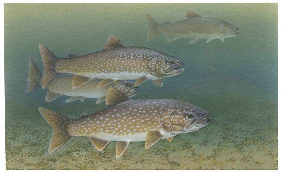
The Nogahabara Sand Dunes are a distinct feature within this forest-and-wetland landscape. Wind-blown glacial sand accumulated at the base of the Nulato Hills thousands of years ago, leaving an active dune field roughly six miles across. Its approximately 16,000 acres are part of a much larger, mostly inactive Pleistocene dune field. The lightly vegetated dunes still shift with the wind, and individual dunes reach about 50 feet high. Elsewhere, water and forest support moose, beavers, brown and black bears, wolves, lynx and other mammals. Thousands of migratory waterfowl nest and raise young in the river basin; salmon, sheefish, pike and grayling occupy its waters. Wildlife watching should allow animals room to feed and move, particularly around waterways where visitors and animals may share the same limited ground.
Remote travel in a lived-in landscape
Koyukuk is the homeland of Koyukon Athabascans, and the lands in and around the wilderness remain important to nearby communities. Subsistence activities include fishing, hunting, berry gathering, trapping and collecting wood. Respect private inholdings and avoid treating the country as unoccupied simply because encounters with other people may be rare. Outside the villages, plan for minimal human contact and weather that can create life-threatening conditions. July is the warmest month, with average temperatures between 52 and 69 degrees Fahrenheit; January averages range from minus 16 to minus 1. Summer brings long daylight and heavy biting-insect pressure. Pack insect protection, weatherproof layers, navigation tools and emergency communication appropriate to remote travel. Confirm access arrangements, applicable regulations and any permit requirements with the refuge before committing to a trip.
Route options
- Nogahabara Sand Dunes
A destination-focused option for exploring the active, lightly vegetated dunes within the wilderness. No maintained trail or established approach is identified; arrange access and develop a terrain-specific travel plan before choosing this objective.
- Three-Day Slough
A wetland-area objective within the wilderness, known for productive moose habitat and fall use by moose hunters. This is an area for individually planned travel rather than a marked route; confirm access and applicable activity regulations with the refuge.
Sample itineraries
- Nogahabara Sand Dunes Planning Outline · 3 days
A suggested exploration block, not a verified travel schedule: focus on the active Nogahabara Sand Dunes and surrounding boreal forest. Confirm access and boundaries with refuge staff before committing. There are no maintained trails; allow additional time for travel and weather delays.
- Three-Day Slough Wildlife Planning Outline · 4 days
A suggested wildlife-focused stay around Three-Day Slough, with time for observing moose and wetland birds. Arrange access separately and verify current conditions with refuge staff. Fall brings moose-hunting use; respect subsistence activities and private inholdings. This is not an established route or confirmed travel duration.
Seasonal conditions
Spring
Spring transition
Plan conservatively around the extensive river floodplain and wetlands. Confirm water and ground conditions before choosing an approach; do not assume a summer travel plan will work during seasonal transitions.
Summer
July is the warmest month
July temperatures average between 52°F and 69°F. Nearly continuous daylight accompanies heavy mosquitoes and other biting insects. Migratory waterfowl nest and raise young throughout the productive river basin; give nesting birds space.
Fall
Fall migration and moose-hunting use
Waterfowl prepare for migration, and Three-Day Slough receives public use primarily from moose hunters. Account for hunting activity when planning wildlife observation. Carry layers and maintain flexibility for changing weather in this remote setting.
Winter
January is the coldest month
January temperatures average between -16°F and -1°F. Severe cold and minimal human contact demand specialized equipment and conservative decisions. Do not assume rivers or lakes provide safe travel surfaces without checking current conditions.
| Season | Window | Conditions |
|---|---|---|
| Spring | Spring transition | Plan conservatively around the extensive river floodplain and wetlands. Confirm water and ground conditions before choosing an approach; do not assume a summer travel plan will work during seasonal transitions. |
| Summer | July is the warmest month | July temperatures average between 52°F and 69°F. Nearly continuous daylight accompanies heavy mosquitoes and other biting insects. Migratory waterfowl nest and raise young throughout the productive river basin; give nesting birds space. |
| Fall | Fall migration and moose-hunting use | Waterfowl prepare for migration, and Three-Day Slough receives public use primarily from moose hunters. Account for hunting activity when planning wildlife observation. Carry layers and maintain flexibility for changing weather in this remote setting. |
| Winter | January is the coldest month | January temperatures average between -16°F and -1°F. Severe cold and minimal human contact demand specialized equipment and conservative decisions. Do not assume rivers or lakes provide safe travel surfaces without checking current conditions. |
Permits, fees & closures
Confirm current permit requirements, activity rules, and access arrangements with the U.S. Fish and Wildlife Service before planning a visit.
Official source: Koyukuk National Wildlife Refuge | About Us · Verified November 1, 2026
Hazards & regulations
- Extreme remoteness: expect minimal human contact outside nearby villages. Weather and other problems can become life-threatening; carry emergency communications and leave a detailed trip plan.
- No roads or maintained trails: navigation must account for meandering waterways, wetlands, forest, and shifting dunes rather than signed routes.
- Brown and black bears share the river basin. Keep food secured, remain alert, and give bears and moose ample space.
- Mosquitoes and other biting insects can be intense during summer. Pack protection that remains usable throughout long outdoor days.
- Winter cold is severe, with January averages between -16°F and -1°F. Equipment or travel failures have serious consequences.
What to pack for Koyukuk Wilderness
- Detailed maps showing wilderness boundaries and private inholdings
- Compass and GPS with backup power
- Satellite communication device
- First-aid kit and emergency shelter
- Waterproof outer layers and dry storage
- Insulating layers matched to the season
- Footwear suited to wet ground
- Water-treatment equipment
- Specialized cold-weather shelter and sleep system for winter
- Insect repellent and head net
- Long sleeves and insect-resistant clothing
- Binoculars for observing animals without approaching
- Bear-resistant food storage
Koyukuk Wilderness FAQ
- How does the wilderness relate to Koyukuk National Wildlife Refuge?
- Koyukuk Wilderness protects 400,000 acres within the 3.5-million-acre refuge in interior Alaska. It includes the Nogahabara Sand Dunes and Three-Day Slough, within a landscape of rivers, lakes, wetlands, and boreal forest.
- Are there roads, maintained trails, or a mapped trailhead?
- There are no roads or maintained trails. The federal inventory map point lies inside the wilderness; it is not a trailhead, campsite, or access point. Discuss a workable access plan with refuge staff rather than navigating to that point.
- What makes the Nogahabara Sand Dunes distinctive?
- The active dune field covers about 16,000 acres and spans roughly six miles in diameter. Wind-blown glacial sand accumulated at the base of the Nulato Hills. Lightly vegetated dunes continue shifting within the surrounding boreal forest.
- How should visitors respect local land use?
- This is Koyukon Athabascan homeland, not land without human history. Nearby residents depend on hunting, fishing, gathering, trapping, and wood gathering. Respect private inholdings, avoid interfering with subsistence activities, and leave little trace.
- Can visitors hunt or fish?
- Check current State and Federal regulations and confirm requirements with refuge staff before planning either activity. Three-Day Slough receives fall moose-hunting use. Do not treat wilderness designation alone as guidance on allowable methods or access.
- Is this suitable for a casual hiking trip?
- The absence of roads and maintained trails, extensive wetlands, and minimal human contact make this a self-reliant wilderness trip rather than a straightforward trail outing. Establish access, navigation, emergency communication, and weather contingencies before departure.