



- Region
- MO, USA
- Country
- United States
- Best for
- hiking
- Best season
- Spring, Summer
- Permits
- Refuge entrance permits are required year-…
- Managed by
- U.S. Fish and Wildlife Service, Mingo National Wildlife Refuge
Plan with verified data
Mingo Wilderness trip tools
Tools for a trip here
Picked for how, when and where you're going. Free, no signup.
Photos of Mingo Wilderness
How to get there
Use 24279 MO-51, Puxico, MO 63960 in GPS rather than the refuge name, which may direct visitors incorrectly. From US-60, turn north onto MO-51 and travel 13 miles to the visitor center entrance. From I-55, exit west onto MO-AB/Nash Road and travel 5.6 miles. At the traffic circle, take the second exit onto MO-25 South and continue 16 miles. Turn west onto State Hwy C in Advance for 10 miles, then south onto MO-51 for 11 miles to the visitor center entrance.
- Mingo National Wildlife Refuge visitor center
The primary orientation stop on MO-51 near Puxico. Ask staff about wilderness access, navigation, wildlife viewing and current conditions. Exhibits cover refuge habitats and history; restrooms are available inside and outside.
- Swampwalk Nature Trail
An accessible boardwalk in the wider refuge provides a defined walking introduction to bottomland hardwood habitat. Treat it as a refuge outing, not an established trail into the wilderness.
Sources: fws.gov · University of Montana / federal agency partners · Wilderness Connect / federal wilderness boundary inventory · Wikipedia. Confirm road and trailhead conditions with the managing agency before you leave.
MO, USA · United States
- Canoeing
- Kayaking
- Hiking
- Wildlife Viewing
- Backpacking
- Fishing
A swamp wilderness at the edge of the Ozarks
Mingo Wilderness occupies the western third of Mingo National Wildlife Refuge in southeastern Missouri, where the rolling hills of the Ozark Plateau meet bottomland forest and swamp. The Mississippi River once flowed through this landscape, leaving conditions that support hardwoods, cypress and tupelo. Logging and drainage later altered much of the forest; the refuge was established in 1944 to preserve what remained. Within the wilderness, Monopoly Marsh and canoeable waterways sit alongside wooded hills, giving visitors several ways to experience the terrain on foot or by nonmotorized boat. This is a place for close observation rather than long views: river otters, wood ducks, swamp rabbits, bald eagles and migratory waterfowl all use its habitats. Keep the wilderness distinct from the wider refuge, which also offers roads, a boardwalk and visitor facilities.
Choose between wilderness travel and refuge outings
There are no established hiking trails within Mingo Wilderness. A walk here calls for navigation and a willingness to travel without a marked route, rather than expectations of a signed trail network. Access within the wilderness is on foot or by nonmotorized boat; boat motors are prohibited. The refuge also offers a canoe trail, wilderness hiking and levee walks, but these options should be discussed with staff before setting out. For a more structured introduction to the habitat, the wider refuge has the accessible, 0.8-mile Swampwalk Nature Trail through bottomland hardwood forest. Bluff Road and Red Mill Drive provide wildlife viewing by vehicle outside the wilderness experience. Start at the visitor center for exhibits, orientation and help choosing an outing that fits available time and comfort with navigation.
Wildlife timing and practical preparation
Morning and evening offer the best chances of seeing wildlife. April and May are the strongest months for spring migratory birds, while September and October are best for fall migrants. Bring binoculars or a camera, and allow time to watch quietly rather than covering ground quickly. In warmer months, ticks, chiggers and poison ivy require attention, especially when walking off-trail. Pack insect repellent, long sleeves and pants, water, snacks, sun protection and comfortable walking shoes; layers help with changing temperatures. Use GPS when entering unfamiliar woods, and do not depend on continuous cell coverage. Check for ticks afterward and pack out all trash. Refuge entrance permits are required year-round and are available at the visitor center, where staff can also help with current conditions and visitor rules.
Where on earth
Satellite imagery flying in from a world view to Mingo Wilderness, United States. Use the + / − buttons, or click the map to zoom with your scroll wheel; drag to pan and pinch to zoom on touch.
Coordinates
- Decimal degrees
- 36.9869, -90.1911
- Latitude (DMS)
- 36° 59′ 12.9″ N
- Longitude (DMS)
- 90° 11′ 27.9″ W
Coordinates are an access-point reference for Mingo Wilderness, not a route. Carry a paper map and confirm trailhead or put-in access with the managing agency before you go.
Topic summary
Eighteen thousand years ago, the Mississippi River flowed through this area on its way to the Gulf of Mexico. Because of natural events, the river shifted east forming a biologically rich swampland comprised...
Key takeaways
- Region: MO, USA
- Country: United States
- Good for: hiking
- Coordinates: 36.987, -90.191
Intended uses
hiking
Keep planning
Popular pursuits at Mingo Wilderness
- Canoeing
Paddle routes, portages, and put-ins.
- Kayaking
Sheltered and open-water paddling lines.
- Hiking
Day miles on marked trail, with route notes and trail links below.
- Wildlife Viewing
Best light, best season, and where animals move.
- Backpacking
Multi-day travel with everything on your back — see the packing blocks below.
- Fishing
Resident gamefish, seasons, and the water that holds them.
Animals around Mingo Wilderness
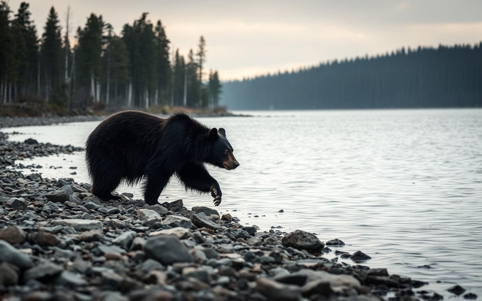 Wildlife guideBlack bearUrsus americanus
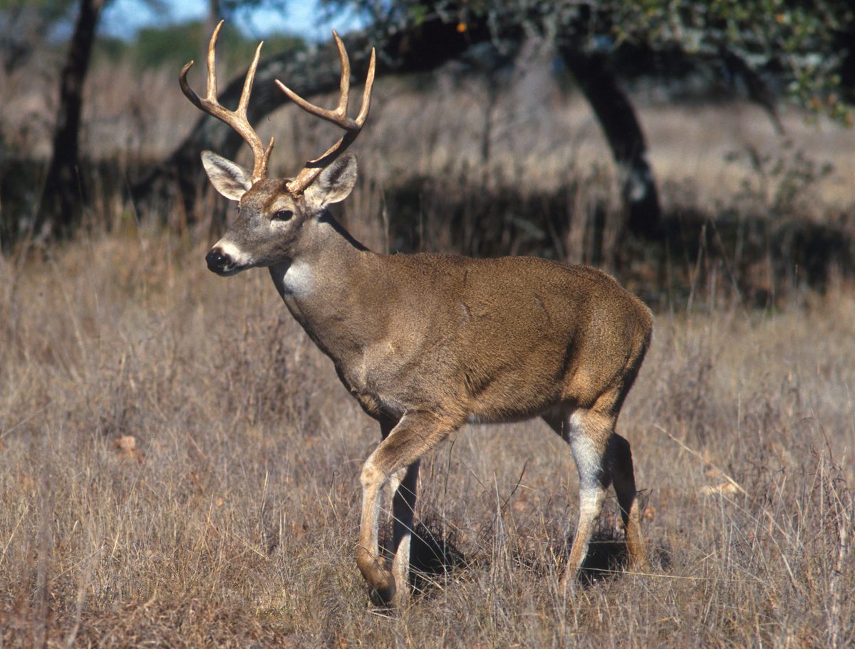 Big gameWhitetail DeerOdocoileus virginianus
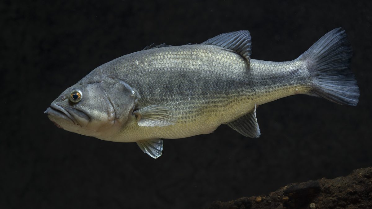 GamefishLargemouth BassMicropterus nigricans
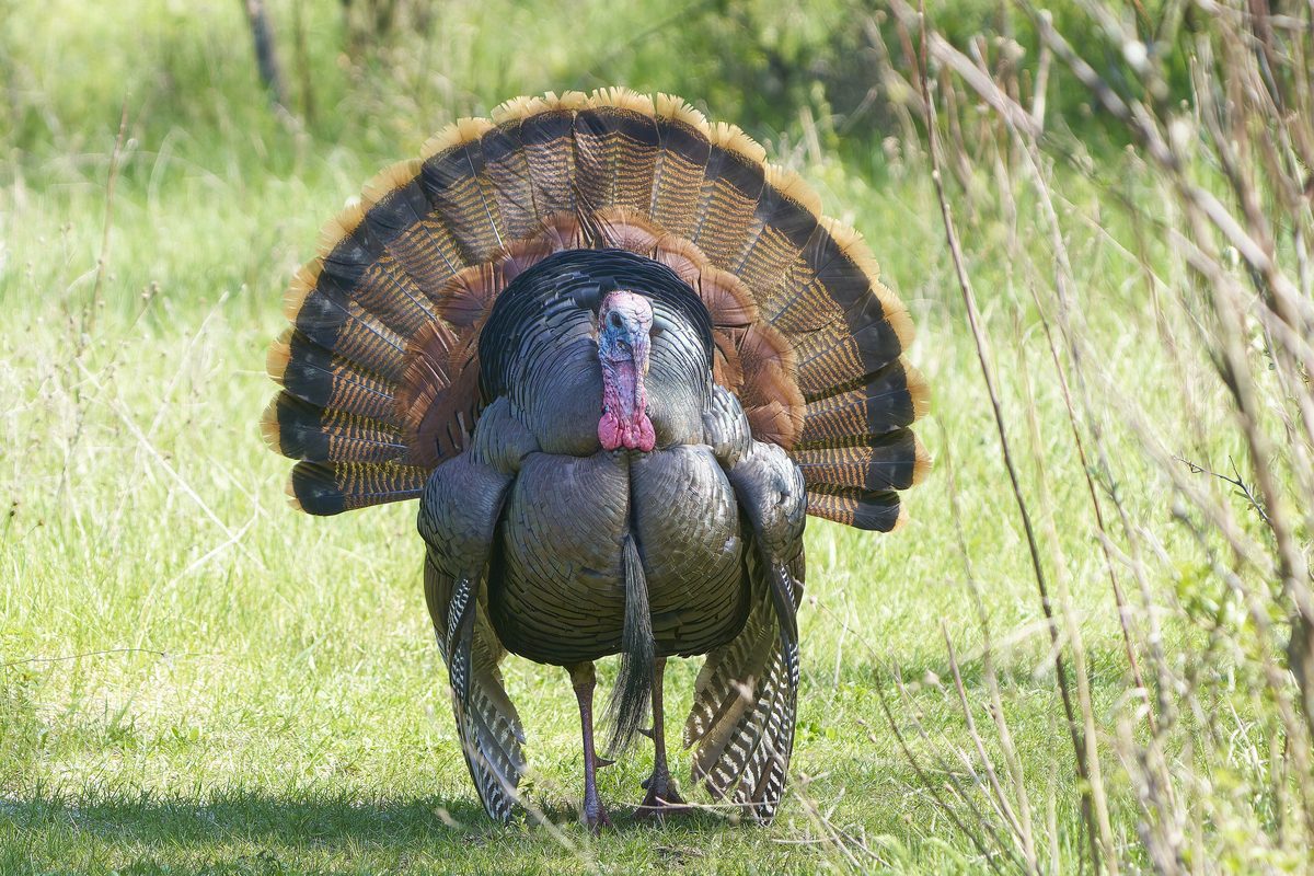 Wildlife guideWild turkeyMeleagris gallopavo
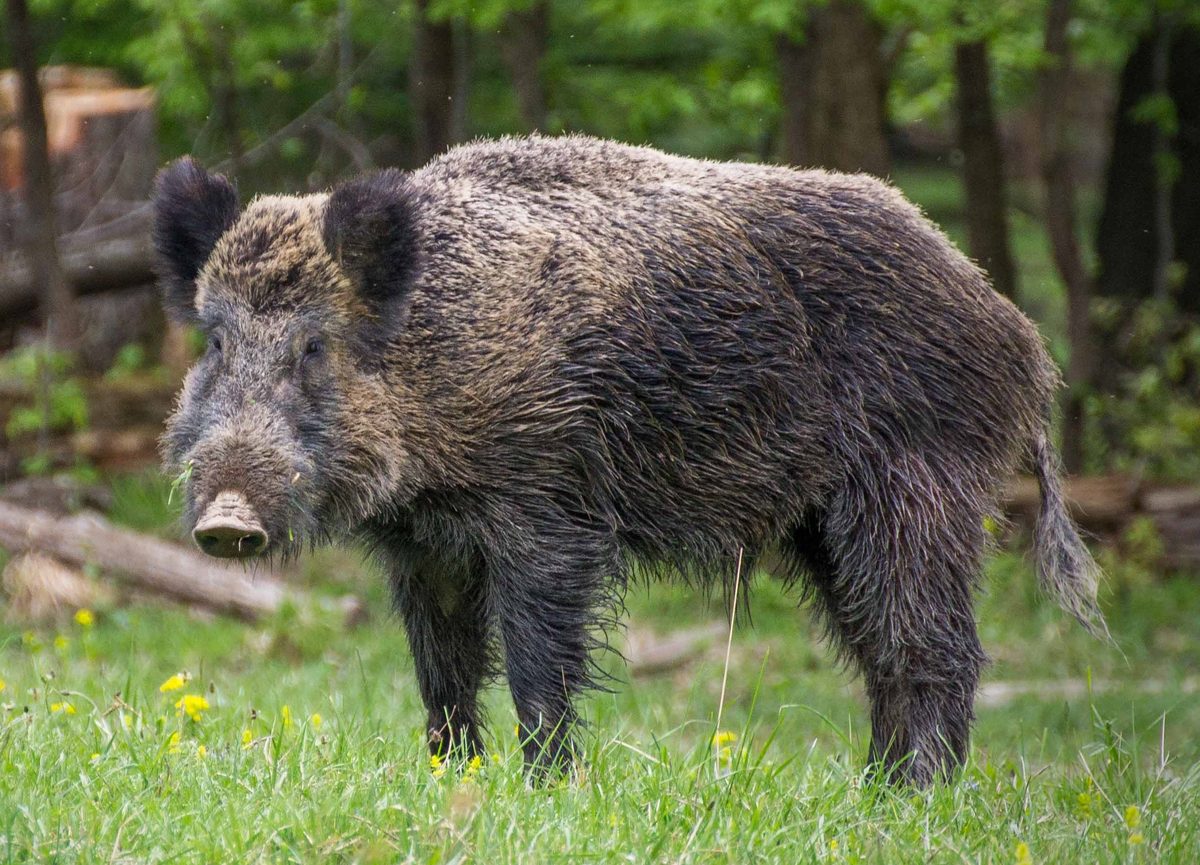 Big gameWild HogSus scrofa
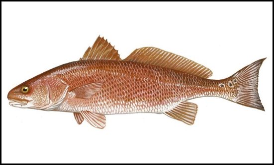 GamefishRed DrumSciaenops ocellatus
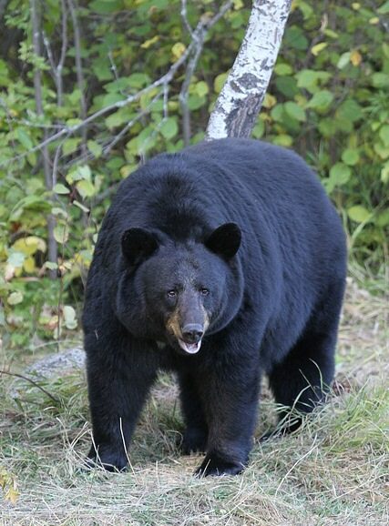 Big gameBlack BearUrsus americanus
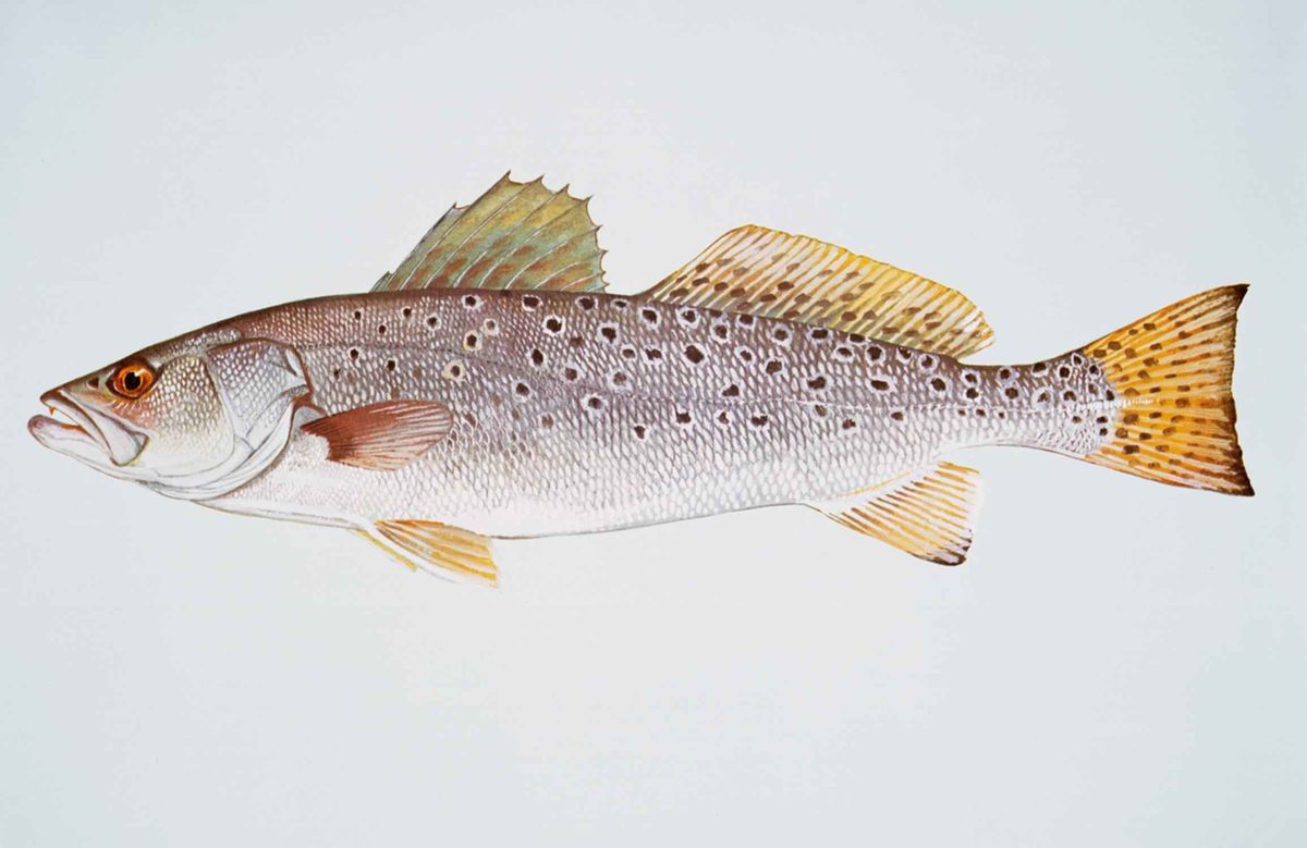 GamefishSpotted SeatroutCynoscion nebulosus
A swamp wilderness at the edge of the Ozarks
Mingo Wilderness occupies the western third of Mingo National Wildlife Refuge in southeastern Missouri, where the rolling hills of the Ozark Plateau meet bottomland forest and swamp. The Mississippi River once flowed through this landscape, leaving conditions that support hardwoods, cypress and tupelo. Logging and drainage later altered much of the forest; the refuge was established in 1944 to preserve what remained. Within the wilderness, Monopoly Marsh and canoeable waterways sit alongside wooded hills, giving visitors several ways to experience the terrain on foot or by nonmotorized boat. This is a place for close observation rather than long views: river otters, wood ducks, swamp rabbits, bald eagles and migratory waterfowl all use its habitats. Keep the wilderness distinct from the wider refuge, which also offers roads, a boardwalk and visitor facilities.
Choose between wilderness travel and refuge outings
There are no established hiking trails within Mingo Wilderness. A walk here calls for navigation and a willingness to travel without a marked route, rather than expectations of a signed trail network. Access within the wilderness is on foot or by nonmotorized boat; boat motors are prohibited. The refuge also offers a canoe trail, wilderness hiking and levee walks, but these options should be discussed with staff before setting out. For a more structured introduction to the habitat, the wider refuge has the accessible, 0.8-mile Swampwalk Nature Trail through bottomland hardwood forest. Bluff Road and Red Mill Drive provide wildlife viewing by vehicle outside the wilderness experience. Start at the visitor center for exhibits, orientation and help choosing an outing that fits available time and comfort with navigation.
Wildlife timing and practical preparation
Morning and evening offer the best chances of seeing wildlife. April and May are the strongest months for spring migratory birds, while September and October are best for fall migrants. Bring binoculars or a camera, and allow time to watch quietly rather than covering ground quickly. In warmer months, ticks, chiggers and poison ivy require attention, especially when walking off-trail. Pack insect repellent, long sleeves and pants, water, snacks, sun protection and comfortable walking shoes; layers help with changing temperatures. Use GPS when entering unfamiliar woods, and do not depend on continuous cell coverage. Check for ticks afterward and pack out all trash. Refuge entrance permits are required year-round and are available at the visitor center, where staff can also help with current conditions and visitor rules.
Route options
- Mingo Wilderness foot explorationUnmarked travel requiring navigation
Explore on foot for wildlife observation and a closer look at the bottomland forest. There are no established hiking trails within the wilderness; obtain orientation at the visitor center and use GPS in unfamiliar woods.
- Refuge canoe trail
The refuge identifies its canoe trail as an option for visitors with half a day or more. Ask staff about the route and its relationship to the wilderness boundary before launching. Within the wilderness, travel must be by nonmotorized boat.
- Swampwalk Nature Trail0.8 milesAccessible boardwalk
Follow an accessible boardwalk through bottomland hardwood forest in the wider refuge for a defined alternative to unmarked wilderness walking.
- Ozark Highlands Auto Tour Route
A wider-refuge driving option for wildlife observation rather than travel inside the wilderness. Open March through November when weather and conditions permit; it may close at any point for maintenance or management needs. Drive slowly and watch for animals crossing.
Sample itineraries
- Refuge Orientation and Swampwalk · 1 day
Start at the refuge visitor center for wilderness guidance and habitat exhibits. Walk the accessible, 0.8-mile Swampwalk Nature Trail through bottomland hardwood forest, then drive Bluff Road or Red Mill Drive for wildlife viewing. These refuge outings provide an introduction rather than a hike inside the wilderness.
- Wilderness Day Hike · 1 day
Ask refuge staff about suitable wilderness access and current conditions, then explore on foot. There are no established hiking trails inside the wilderness. Carry GPS navigation and allow time for wildlife observation among bottomland hardwoods and cypress-tupelo habitat.
- Paddling and Wildlife Weekend · 2 days
Spend the first day orienting at the visitor center and watching wildlife along refuge drives. On the second day, paddle the refuge canoe trail after confirming its access and relationship to the wilderness boundary with staff. Wilderness boat travel must be nonmotorized. Arrange overnight accommodation separately.
Seasonal conditions
Spring
April–May for spring migratory birds
These are the best months for spring migratory bird viewing. Fishing pressure increases in spring, particularly on weekends. Warmer conditions call for insect protection and tick checks. Confirm road conditions before planning an auto tour.
Summer
Warmer months
Ticks, chiggers and poison ivy require attention, especially when hiking off-trail. Bring water, sun protection and protective clothing. Fishing pressure is often heavier during summer weekends; morning and evening are the best wildlife-viewing times.
Fall
September–October for fall migratory birds
These are the best months for fall migratory bird viewing. Dress in layers for changing temperatures. The Ozark Highlands Auto Tour Route operates through November when weather and conditions permit, but maintenance or management needs can interrupt access.
Winter
Winter visits
Bluff Road and Red Mill Drive are open year-round, offering refuge wildlife-viewing options. Winter falls outside the stated March–November operating season for the Ozark Highlands Auto Tour Route. Bring layers and ask staff about current conditions before heading into the wilderness.
| Season | Window | Conditions |
|---|---|---|
| Spring | April–May for spring migratory birds | These are the best months for spring migratory bird viewing. Fishing pressure increases in spring, particularly on weekends. Warmer conditions call for insect protection and tick checks. Confirm road conditions before planning an auto tour. |
| Summer | Warmer months | Ticks, chiggers and poison ivy require attention, especially when hiking off-trail. Bring water, sun protection and protective clothing. Fishing pressure is often heavier during summer weekends; morning and evening are the best wildlife-viewing times. |
| Fall | September–October for fall migratory birds | These are the best months for fall migratory bird viewing. Dress in layers for changing temperatures. The Ozark Highlands Auto Tour Route operates through November when weather and conditions permit, but maintenance or management needs can interrupt access. |
| Winter | Winter visits | Bluff Road and Red Mill Drive are open year-round, offering refuge wildlife-viewing options. Winter falls outside the stated March–November operating season for the Ozark Highlands Auto Tour Route. Bring layers and ask staff about current conditions before heading into the wilderness. |
Permits, fees & closures
Refuge entrance permits are required year-round, with one qualifying permit or pass per vehicle. Obtain permits at the refuge visitor center; daily permits are also available at entrance kiosks.
Fees: Daily vehicle permit: $3. Mingo-specific annual pass: $12. Accepted alternatives include a Federal Duck Stamp and qualifying interagency passes. Commercial vans and buses: $15 for 1–24 people; $25 for 25 or more.
Official source: Mingo National Wildlife Refuge | Visit Us · Verified November 9, 2026
Hazards & regulations
- Ticks and chiggers are concerns during warmer months. Use insect repellent, wear long sleeves and pants, and check for ticks after visiting.
- Poison ivy occurs on the refuge. Watch surrounding vegetation, particularly when hiking off-trail.
- Unfamiliar woods and the absence of established wilderness hiking trails make navigation important. Carry GPS navigation; cell coverage can be sporadic.
- Wildlife may cross refuge roads. Drive slowly and stay alert along auto tour routes.
What to pack for Mingo Wilderness
- GPS with maps available without cell service
- Water bottle
- Snacks
- Bag for packing out trash
- Comfortable walking or hiking shoes
- Long sleeves and pants
- Insect repellent
- Layered clothing
- Sunscreen and sunglasses
- Binoculars
- Camera
Mingo Wilderness FAQ
- Where is Mingo Wilderness, and where should a visit begin?
- Mingo Wilderness occupies the western third of Mingo National Wildlife Refuge in southeast Missouri. Begin at the visitor center, 24279 MO-51, Puxico, MO 63960. Use that address for navigation; searching only the refuge name may send you to the wrong location.
- Are there marked hiking trails inside the wilderness?
- There are no established hiking trails inside Mingo Wilderness. Ask staff about access and navigation before setting out. The refuge's accessible Swampwalk Nature Trail offers a separate, 0.8-mile boardwalk walk through bottomland hardwood forest.
- Can visitors drive, cycle or use motorboats in the wilderness?
- Wilderness access is on foot or by nonmotorized boat; motorboats and bicycles are prohibited there. Refuge auto tour roads provide separate driving opportunities. Bluff Road is also an option for cycling outside the wilderness.
- When is wildlife viewing best?
- Morning and evening are the best viewing times. April and May are best for spring migratory birds; September and October are best for fall migrants. Bottomland hardwoods, cypress-tupelo swamp and waterways support a range of birds and mammals.
- What facilities and loan equipment are available?
- The visitor center has exhibits, a refuge video and staff or volunteers who can help plan a visit. Restrooms are available inside and outside, with pit toilets elsewhere around the refuge. Borrowed binoculars, activity backpacks and fishing equipment must be returned by close of business.
- Which wildlife drives are open?
- Bluff Road and Red Mill Drive are open year-round. The Ozark Highlands Auto Tour Route is open March–November, conditions and weather permitting, and may close for maintenance or management needs. Check current access before visiting.