



- Region
- MI, USA
- Country
- United States
- Best for
- hiking
- Best season
- Spring, Summer
- Permits
- Confirm permit requirements and current re…
- Managed by
- USDA Forest Service, Huron-Manistee National Forests, Cadillac/Manistee Ranger District
Plan with verified data
Nordhouse Dunes Wilderness trip tools
Tools for a trip here
Picked for how, when and where you're going. Free, no signup.
Photos of Nordhouse Dunes Wilderness
How to get there
Nordhouse Dunes Wilderness lies between Ludington and Manistee on Lake Michigan’s eastern shoreline in Michigan. Use Nurnberg Road Trailhead for day hiking or dispersed overnight access, or approach from Lake Michigan Recreation Area along the northern boundary.
- Nurnberg Road Trailhead
Access for day use and dispersed overnight camping in Nordhouse Dunes Wilderness. Follow posted instructions for day-use payment or obtain a pass ahead of time.
- Lake Michigan Recreation Area Trailhead
Trail access from the recreation area adjoining the wilderness along its northern boundary. The neighboring recreation area also has a developed campground and day-use area.
Sources: fs.usda.gov · University of Montana / federal agency partners · Wilderness Connect / federal wilderness boundary inventory. Confirm road and trailhead conditions with the managing agency before you leave.
MI, USA · United States
- Sea Kayaking
- Beachcombing
- Hiking
- Wildlife Viewing
- Backpacking
- Canoeing
- Fishing
Lake Michigan dunes and undeveloped shore
Nordhouse Dunes Wilderness protects 3,500 acres along Lake Michigan’s eastern shoreline between Ludington and Manistee. Part of the Huron-Manistee National Forests, it combines open sand, a wide beach, wooded dunes and wetland pockets rather than one continuous stretch of bare dunes. Some dunes rise as high as 140 feet; most formed 3,500–4,000 years ago. Juniper, stunted jack pine and small stands of northern hardwoods grow among areas of dune grass, while hemlock and larch occur in the dune marshes. The wilderness extends along approximately 7,300 feet of undeveloped shoreline. Hiking, beachcombing, nature study and wildlife viewing fit naturally into a day here, while primitive camping allows a longer visit. Designated in 1987, Nordhouse is one of two federally designated wilderness areas in Michigan’s Lower Peninsula.
Hiking and choosing an approach
Plan a walking trip rather than a ride: bicycles, wagons, carts and motorized vehicles are prohibited inside the wilderness. The Forest Service describes approximately 10 miles of trails, with access at Nurnberg Road Trailhead and from the neighboring Lake Michigan Recreation Area along the northern boundary. The 1.4-mile Nordhouse Dunes Trail is an option for seeing the dunes without planning a longer trail outing. Trail markings are minimal, and paths can occasionally be difficult to follow, so carry a map and keep track of junctions and the return route. Sand and exposed shoreline call for footwear suited to sandy walking, sun protection and layers for changing lakeshore weather. Bring drinking water rather than assuming it will be available on the route. Nurnberg serves both day visitors and dispersed overnight campers; Lake Michigan Recreation Area offers a separate developed campground and day-use setting next to the wilderness.
Camping rules and protecting dune habitat
Dispersed camping requires careful site selection. Camps must be at least 400 feet from the wilderness boundary, including the Lake Michigan waterline and boundary roads, at least 200 feet from Nordhouse Lake and at least 100 feet from established trails. Do not occupy a campsite posted closed. Groups and individual campsites are limited to 10 people. Campfires are prohibited within 400 feet of the Lake Michigan waterline and within 200 feet of Nordhouse Lake; dune-wood, driftwood, pine knots and shipwreck timbers cannot be possessed, used or burned. Pack reusable food and beverage containers, leave glass behind and pack out waste. Do not use soap or detergent in lakes or streams. These protections matter in a landscape containing dune-grass habitat, freshwater interdunal ponds, Pitcher’s thistle and piping plovers. Avoid trampling vegetation and give wildlife space. Check current Forest Service restrictions before departure. A day-use fee is required; follow trailhead payment instructions or obtain a pass ahead of time.
Where on earth
Satellite imagery flying in from a world view to Nordhouse Dunes Wilderness, United States. Use the + / − buttons, or click the map to zoom with your scroll wheel; drag to pan and pinch to zoom on touch.
Coordinates
- Decimal degrees
- 44.0977, -86.4352
- Latitude (DMS)
- 44° 5′ 51.6″ N
- Longitude (DMS)
- 86° 26′ 6.6″ W
Coordinates are an access-point reference for Nordhouse Dunes Wilderness, not a route. Carry a paper map and confirm trailhead or put-in access with the managing agency before you go.
Topic summary
Over the past 13,000 years, as the level of Lake Michigan rose and fell, winds swept the exposed sand from the lakebed into a series of rolling dunes, some reaching 140 feet in height. Most of the present...
Key takeaways
- Region: MI, USA
- Country: United States
- Good for: hiking
- Coordinates: 44.098, -86.435
Intended uses
hiking
Keep planning
Popular pursuits at Nordhouse Dunes Wilderness
- Sea Kayaking
Coastal crossings, tides, and protected camps.
- Beachcombing
Tide-line walking between camps.
- Hiking
Day miles on marked trail, with route notes and trail links below.
- Wildlife Viewing
Best light, best season, and where animals move.
- Backpacking
Multi-day travel with everything on your back — see the packing blocks below.
- Canoeing
Paddle routes, portages, and put-ins.
Animals around Nordhouse Dunes Wilderness
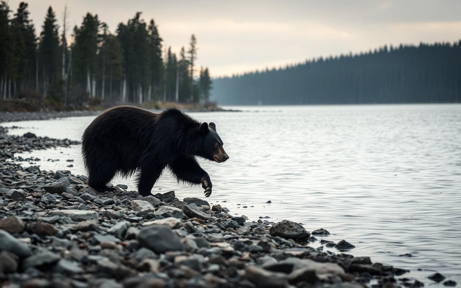 Wildlife guideBlack bearUrsus americanus
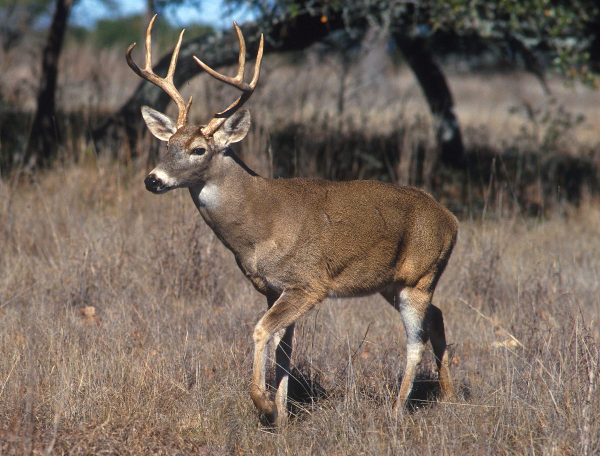 Big gameWhitetail DeerOdocoileus virginianus
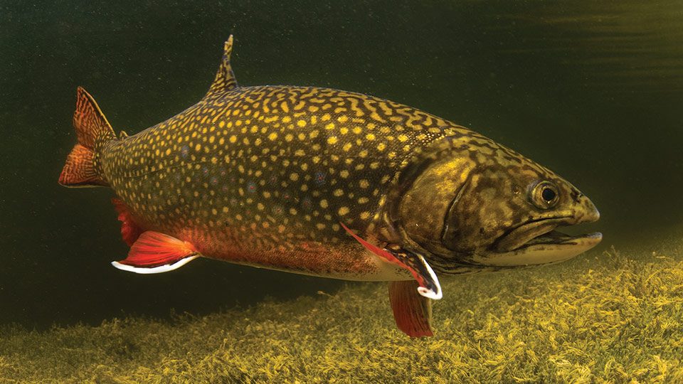 GamefishBrook TroutSalvelinus fontinalis
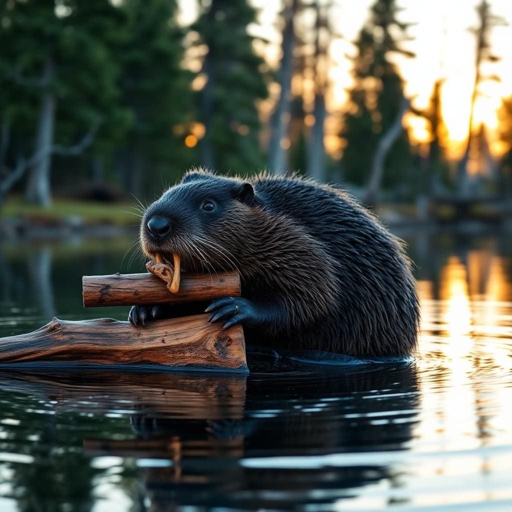 Wildlife guideNorth American beaverCastor canadensis
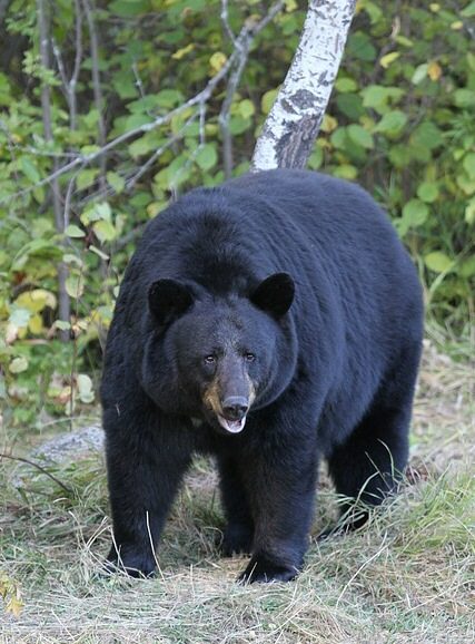 Big gameBlack BearUrsus americanus
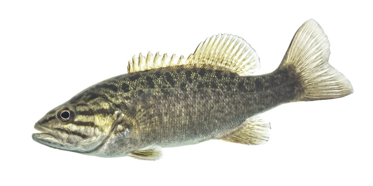 GamefishSmallmouth BassMicropterus dolomieu
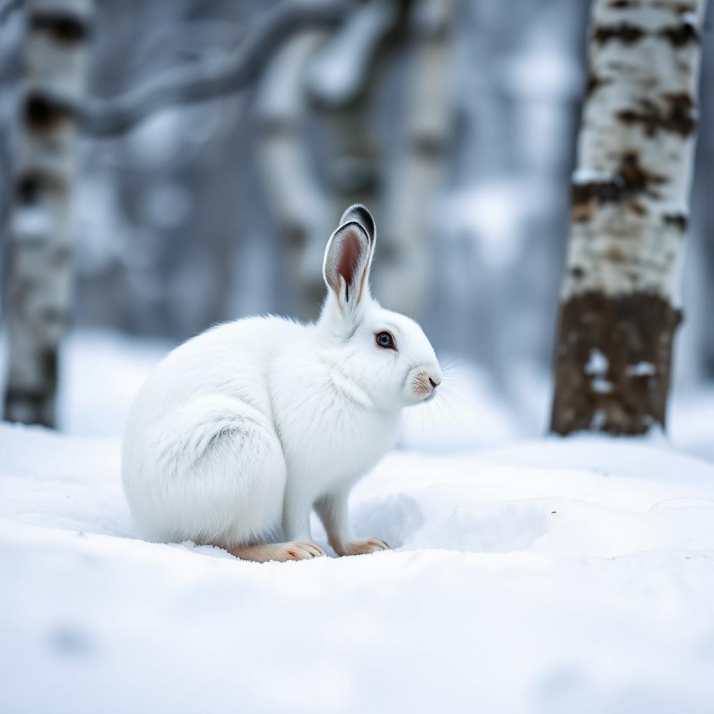 Wildlife guideSnowshoe hareLepus americanus
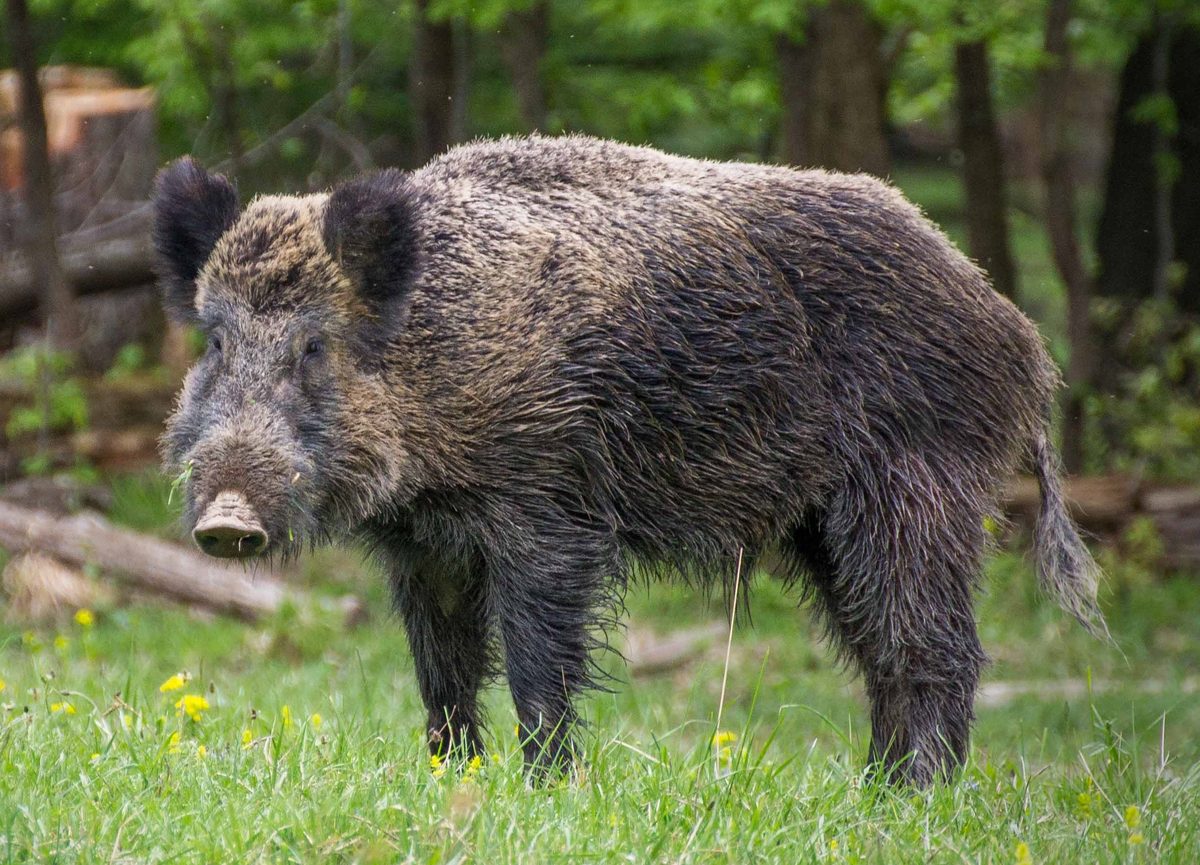 Big gameWild HogSus scrofa
Lake Michigan dunes and undeveloped shore
Nordhouse Dunes Wilderness protects 3,500 acres along Lake Michigan’s eastern shoreline between Ludington and Manistee. Part of the Huron-Manistee National Forests, it combines open sand, a wide beach, wooded dunes and wetland pockets rather than one continuous stretch of bare dunes. Some dunes rise as high as 140 feet; most formed 3,500–4,000 years ago. Juniper, stunted jack pine and small stands of northern hardwoods grow among areas of dune grass, while hemlock and larch occur in the dune marshes. The wilderness extends along approximately 7,300 feet of undeveloped shoreline. Hiking, beachcombing, nature study and wildlife viewing fit naturally into a day here, while primitive camping allows a longer visit. Designated in 1987, Nordhouse is one of two federally designated wilderness areas in Michigan’s Lower Peninsula.
Hiking and choosing an approach
Plan a walking trip rather than a ride: bicycles, wagons, carts and motorized vehicles are prohibited inside the wilderness. The Forest Service describes approximately 10 miles of trails, with access at Nurnberg Road Trailhead and from the neighboring Lake Michigan Recreation Area along the northern boundary. The 1.4-mile Nordhouse Dunes Trail is an option for seeing the dunes without planning a longer trail outing. Trail markings are minimal, and paths can occasionally be difficult to follow, so carry a map and keep track of junctions and the return route. Sand and exposed shoreline call for footwear suited to sandy walking, sun protection and layers for changing lakeshore weather. Bring drinking water rather than assuming it will be available on the route. Nurnberg serves both day visitors and dispersed overnight campers; Lake Michigan Recreation Area offers a separate developed campground and day-use setting next to the wilderness.
Camping rules and protecting dune habitat
Dispersed camping requires careful site selection. Camps must be at least 400 feet from the wilderness boundary, including the Lake Michigan waterline and boundary roads, at least 200 feet from Nordhouse Lake and at least 100 feet from established trails. Do not occupy a campsite posted closed. Groups and individual campsites are limited to 10 people. Campfires are prohibited within 400 feet of the Lake Michigan waterline and within 200 feet of Nordhouse Lake; dune-wood, driftwood, pine knots and shipwreck timbers cannot be possessed, used or burned. Pack reusable food and beverage containers, leave glass behind and pack out waste. Do not use soap or detergent in lakes or streams. These protections matter in a landscape containing dune-grass habitat, freshwater interdunal ponds, Pitcher’s thistle and piping plovers. Avoid trampling vegetation and give wildlife space. Check current Forest Service restrictions before departure. A day-use fee is required; follow trailhead payment instructions or obtain a pass ahead of time.
Route options
- Nordhouse Dunes Trail1.4 miles
A hiking option for views of the dunes. Carry a map: the wilderness trail system is minimally marked and can occasionally be difficult to follow.
- Lake Michigan Recreation Area trail approach
Enter the wilderness trail system from the neighboring recreation area along the northern boundary. Plan the outing and return using a trail map rather than relying on frequent signs.
Sample itineraries
- Nordhouse Dunes day hike · 1 day
Start at Nurnberg Road Trailhead for a hike through the dunes toward Lake Michigan’s undeveloped shoreline. Allow time for beach walking and nature study. Carry a map: trails are minimally marked, and sandy terrain can slow progress.
- Dispersed wilderness overnight · 2 days
Enter at Nurnberg Road Trailhead and explore the dune grass, wooded patches and shoreline before camping inland. Choose a site that meets all boundary, lake and trail setbacks. Spend the second day exploring before returning to the trailhead; pack out all waste.
- Lake Michigan Recreation Area base camp · 2 days
Use the adjacent Lake Michigan Recreation Area campground as a base and enter the wilderness from its northern boundary trail access. Divide time between dune hiking and shoreline wildlife viewing. Keep campground arrangements separate from planning a dispersed wilderness stay.
Seasonal conditions
Spring
Spring
Plan for variable lakeshore weather and carry layers. Dune marshes and interdunal ponds are sensitive terrain; avoid trampling wetland vegetation. Bring navigation tools rather than relying on trail markings.
Summer
Summer
Open dunes and beach walking call for sun protection and drinking water. Allow extra time for travel on sand. Give shoreline birds space and avoid disturbing dune grass.
Fall
Fall
Pack insulating and wind-resistant layers for exposed shoreline stops. Hunting is an activity here; confirm current hunting seasons and consider high-visibility clothing. Do not rely on minimally marked trails alone for navigation.
Winter
Winter
Prepare for cold and wind on the exposed Lake Michigan shoreline. Keep plans conservative, carry insulation and check current access conditions with the Forest Service before leaving.
| Season | Window | Conditions |
|---|---|---|
| Spring | Spring | Plan for variable lakeshore weather and carry layers. Dune marshes and interdunal ponds are sensitive terrain; avoid trampling wetland vegetation. Bring navigation tools rather than relying on trail markings. |
| Summer | Summer | Open dunes and beach walking call for sun protection and drinking water. Allow extra time for travel on sand. Give shoreline birds space and avoid disturbing dune grass. |
| Fall | Fall | Pack insulating and wind-resistant layers for exposed shoreline stops. Hunting is an activity here; confirm current hunting seasons and consider high-visibility clothing. Do not rely on minimally marked trails alone for navigation. |
| Winter | Winter | Prepare for cold and wind on the exposed Lake Michigan shoreline. Keep plans conservative, carry insulation and check current access conditions with the Forest Service before leaving. |
Permits, fees & closures
Confirm permit requirements and current restrictions with the Cadillac/Manistee Ranger District. Ask whether your planned activity requires a Special Use Permit.
Fees: A day-use fee is required at Nurnberg Road Trailhead. Follow posted payment instructions or obtain a pass ahead of time; confirm current fee information with the Forest Service.
Reservations: For the adjacent Lake Michigan Recreation Area campground, use Recreation.gov to plan your stay.
Official source: Nordhouse Dunes Wilderness Area - USDA Forest Service · Verified November 9, 2026
Hazards & regulations
- Minimally marked trails can be difficult to follow. Carry a map and a reliable navigation backup.
- Loose sand and dunes reaching 140 feet can make walking more demanding than the mileage suggests.
- The open Lake Michigan shoreline offers limited shelter from weather. Carry wind protection and adjust plans to conditions.
- Dune grass, marshes and interdunal ponds are sensitive habitat. Watch footing and avoid trampling vegetation.
- Hunting occurs here. Check current seasons and use high-visibility clothing when appropriate.
What to pack for Nordhouse Dunes Wilderness
- Map and compass
- Offline navigation backup
- Headlamp
- First-aid kit
- High-visibility clothing when appropriate
- Wind-resistant layer
- Season-appropriate insulation
- Sun hat and sunscreen
- Footwear suitable for sandy trails
- Drinking water in reusable, non-glass bottles
- Shelter and sleeping system
- Reusable, non-glass food containers
- Waste pack-out bags
- Water treatment equipment
- Map showing wilderness boundaries for campsite selection
Nordhouse Dunes Wilderness FAQ
- Where is Nordhouse Dunes, and how do you access it?
- The wilderness lies on Lake Michigan’s eastern shoreline between Ludington and Manistee in the Huron-Manistee National Forest. Nurnberg Road Trailhead provides day-use and dispersed camping access. Trails also enter from the adjacent Lake Michigan Recreation Area along the northern boundary.
- Where can you camp in the wilderness?
- Camp at least 400 feet from the entire wilderness boundary, including the Lake Michigan waterline and boundary roads; 200 feet from Nordhouse Lake; and 100 feet from established trails. Do not occupy posted closed campsites. Both groups and individual campsites are limited to 10 people.
- What are the campfire rules?
- Campfires are prohibited within 400 feet of the Lake Michigan waterline and within 200 feet of Nordhouse Lake. Possessing, using or burning dune-wood, driftwood, pine knots or shipwreck timbers is prohibited. Check current fire restrictions before your trip.
- Are bicycles, carts or horses allowed?
- No. Mechanical or motorized vehicles, bicycles, wagons and carts are prohibited, as are saddle, pack and draft animals. Devices capable of mechanically or motorically propelling watercraft are also prohibited.
- What should hikers know about the trails and habitat?
- Trails are minimally marked, so bring navigation tools. The 1.4-mile Nordhouse Dunes Trail offers dune views. The landscape includes wooded patches, dune marshes and freshwater interdunal ponds. Protect dune grass and the federally endangered Pitcher’s thistle by avoiding trampling vegetation.
- What container and sanitation rules apply?
- Glass containers are prohibited. Non-burnable food and beverage containers must be designed for repeated use. Pack out garbage and other waste, and do not use or dispose of soaps or detergents in lakes or streams.