



- Region
- AZ, USA
- Country
- United States
- Best for
- hiking
- Best season
- Spring, Summer
- Permits
- Confirm current permit and pass requiremen…
- Managed by
- U.S. Forest Service, Coconino National Forest — Red Rock and Flagstaff Ranger Districts
Plan with verified data
Red Rock-Secret Mountain Wilderness trip tools
Tools for a trip here
Picked for how, when and where you're going. Free, no signup.
Photos of Red Rock-Secret Mountain Wilderness
How to get there
The wilderness lies 15 miles south of Flagstaff and a few minutes from Sedona. Major approaches are off Route 66/FR 231, U.S. 89A, and Forest Roads 152, 152D, 152C, and 525. Select a trail first, then confirm its specific driving approach with Coconino National Forest. Most wilderness trails start in the Red Rock Ranger District; Secret Mountain Trail #109 is accessed from the Flagstaff Ranger District.
- Route 66 / FR 231
One of the major road approaches to the wilderness. Confirm the connection to the intended trailhead before driving.
- U.S. 89A
A major access corridor for the wilderness, with the final approach dependent on the chosen trail.
- Forest Roads 152, 152D, and 152C
These forest roads provide major approaches to the sprawling wilderness. Check the specific road and trailhead needed for the outing.
- Forest Road 525
Another major wilderness approach; confirm trailhead directions and current road conditions with the managing agency.
Sources: recreation.gov · University of Montana / federal agency partners · Wilderness Connect / federal wilderness boundary inventory · Wikipedia. Confirm road and trailhead conditions with the managing agency before you leave.
AZ, USA · United States
- Hunting
- Mountaineering
- Desert Hiking
- Canyoneering
- Hiking
- Wildlife Viewing
- Backpacking
- Canoeing
Red-rock canyons at the plateau edge
Red Rock-Secret Mountain Wilderness protects a broken landscape of cliffs, buttes, pinnacles, arches, and slot canyons in Arizona’s Coconino National Forest. Tan and buff rock interrupt the dominant red along the edge of the Colorado Plateau. The high mesas of Secret Mountain and Wilson Mountain extend into lower country, while canyons reaching 1,500 feet deep drain toward Oak Creek and the Verde River. This is not a landscape with one continuous trail running through it: rough terrain prevents trails from crossing the entire area. Instead, individual routes explore different parts of the canyon-and-mesa system. Close access from Sedona makes the wilderness approachable, but proximity to town does not flatten the terrain. Choose a specific trail and its access route rather than treating the wilderness as a single destination with one entrance.
Choosing a trail and an approach
The trail network offers access to deep gorges and high viewpoints, with named options including Boynton Canyon, Fay Canyon, Bear Mountain, Brin’s Mesa, and West Fork. Secret Canyon Trail follows its canyon for 4.2 miles as it climbs Secret Mountain; Devil’s Bridge Trail leads nine-tenths of a mile to a natural red sandstone bridge. Those descriptions are starting points for planning, not interchangeable outings. Confirm the full itinerary, elevation change, and trailhead approach before deciding what fits the day. All trails into the wilderness start in the Red Rock Ranger District except Secret Mountain Trail #109, which is accessed from the Flagstaff Ranger District. That distinction matters when seeking directions or current conditions. Slickrock slopes, high cliffs, and deep canyon terrain call for deliberate footing and a willingness to turn around before an exposed section exceeds the group’s comfort.
Vegetation, wildlife, and cultural sites
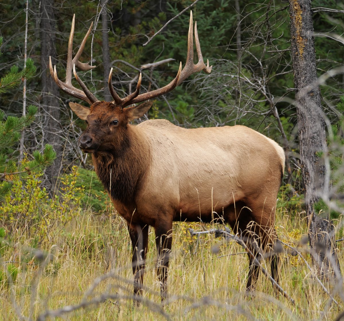
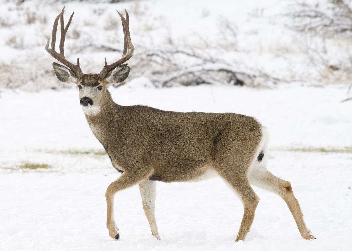
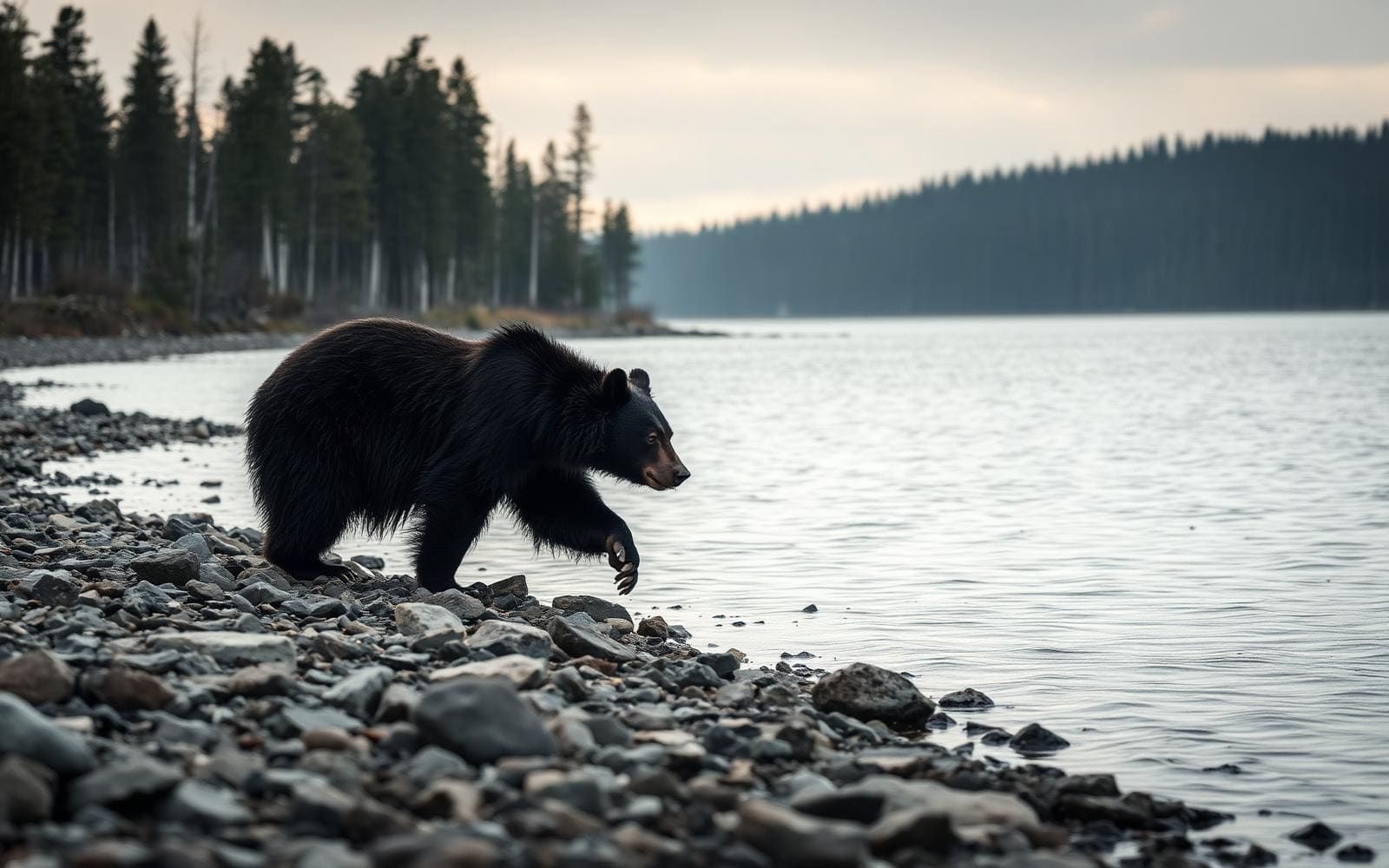
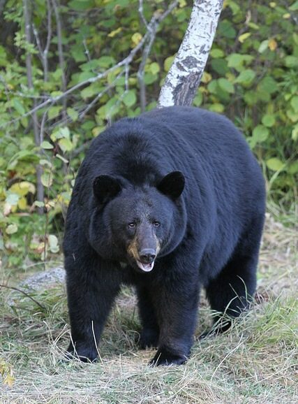
Conditions vary between the cooler, moister high rims and the lower desert country. Chaparral and manzanita grow among the red rocks, while dense riparian vegetation and hidden grottoes give some canyon interiors a more enclosed character. Pack water and layers for the terrain and weather of the chosen outing rather than relying on conditions in town. Wildlife includes elk, mule deer, white-tailed deer, javelinas, coyotes, rabbits, mountain lions, and black bears; keep distance and secure food. Canyon walls and cliffs also hold ancient rock art and long-abandoned dwellings. Observe these places without touching rock art, entering fragile structures, or moving objects. The same deeply cut terrain that shelters vegetation and cultural sites can provide solitude despite the wilderness’s accessibility. Carry a map suited to the chosen route and avoid assuming that neighboring canyons connect by trail.
Where on earth
Satellite imagery flying in from a world view to Red Rock-Secret Mountain Wilderness, United States. Use the + / − buttons, or click the map to zoom with your scroll wheel; drag to pan and pinch to zoom on touch.
Coordinates
- Decimal degrees
- 34.9658, -111.8657
- Latitude (DMS)
- 34° 57′ 56.8″ N
- Longitude (DMS)
- 111° 51′ 56.5″ W
Coordinates are an access-point reference for Red Rock-Secret Mountain Wilderness, not a route. Carry a paper map and confirm trailhead or put-in access with the managing agency before you go.
Topic summary
Tan, buff, and predominantly red-rock cliffs mark the edge of the Colorado Plateau across this Wilderness, just east of Sycamore Canyon Wilderness. Here the high mesas of Secret Mountain and Wilson Mountain...
Key takeaways
- Region: AZ, USA
- Country: United States
- Good for: hiking
- Coordinates: 34.966, -111.866
Intended uses
hiking
Keep planning
Popular pursuits at Red Rock-Secret Mountain Wilderness
- Hunting
Seasons, tags, and the units that hold animals.
- Mountaineering
Glacier and high-route objectives with real consequence.
- Desert Hiking
Water carries and heat management drive the plan.
- Canyoneering
Narrows, downclimbs, and flash-flood timing.
- Hiking
Day miles on marked trail, with route notes and trail links below.
- Wildlife Viewing
Best light, best season, and where animals move.
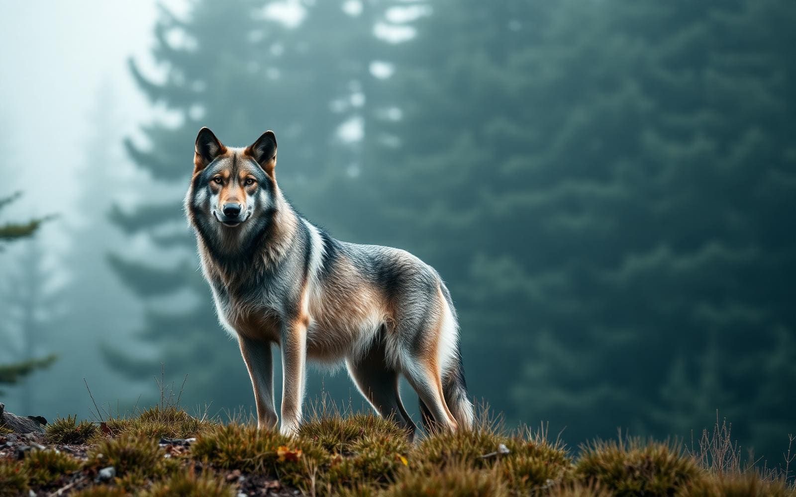
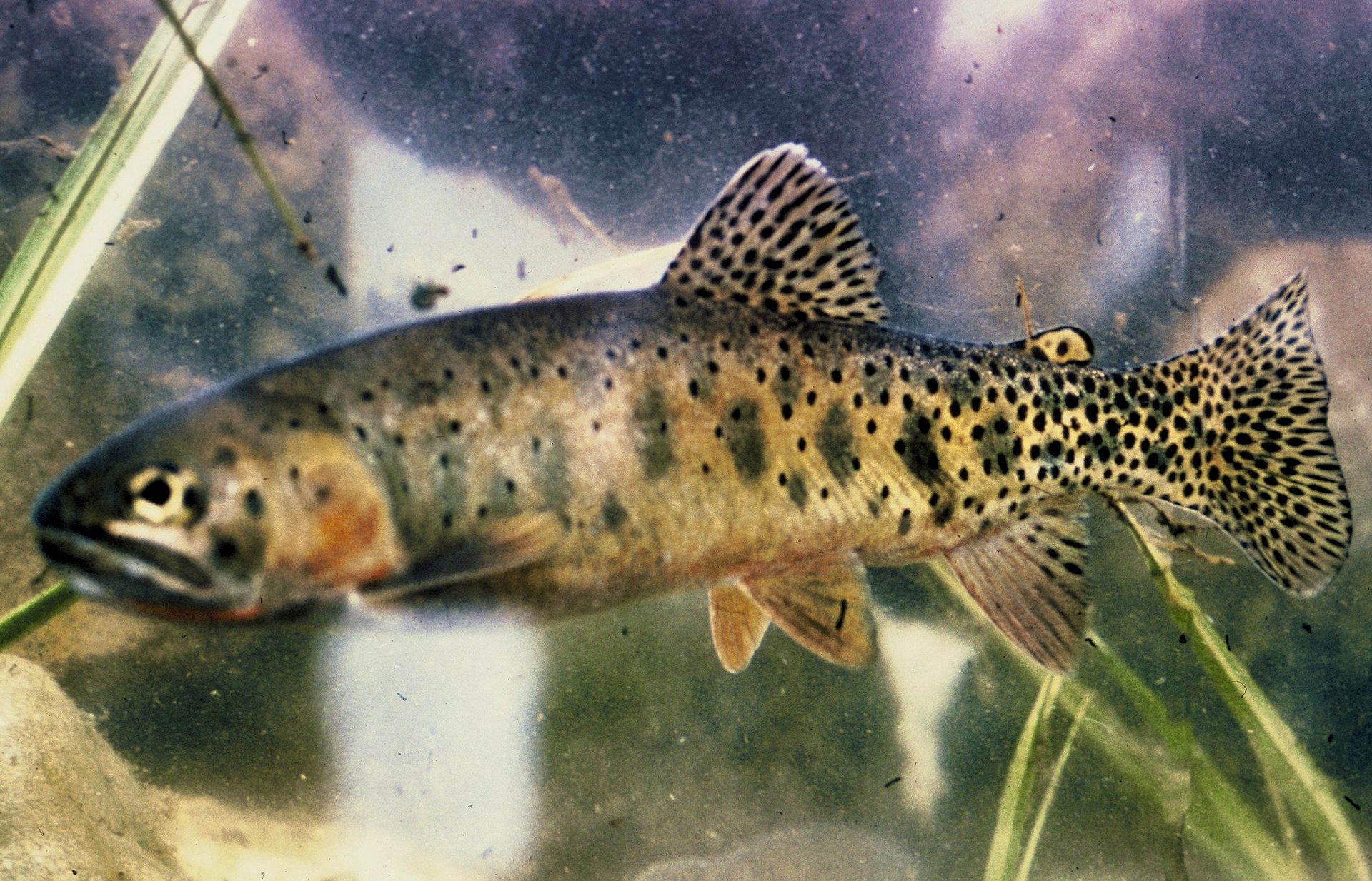
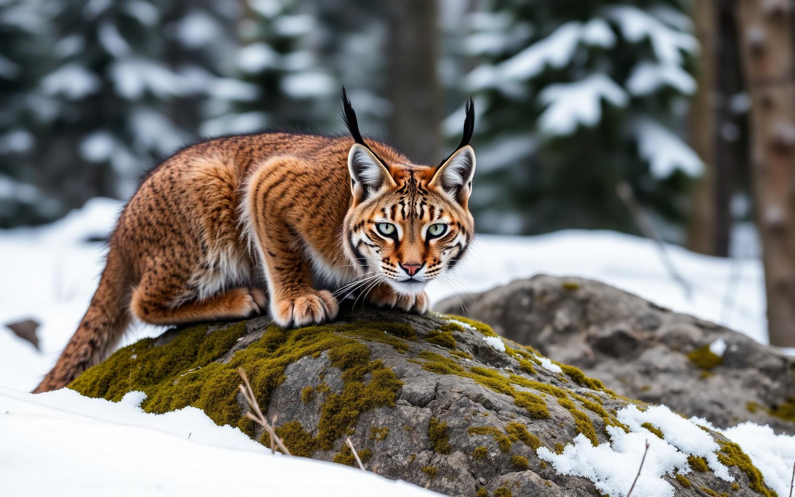
Animals around Red Rock-Secret Mountain Wilderness
Red-rock canyons at the plateau edge
Red Rock-Secret Mountain Wilderness protects a broken landscape of cliffs, buttes, pinnacles, arches, and slot canyons in Arizona’s Coconino National Forest. Tan and buff rock interrupt the dominant red along the edge of the Colorado Plateau. The high mesas of Secret Mountain and Wilson Mountain extend into lower country, while canyons reaching 1,500 feet deep drain toward Oak Creek and the Verde River. This is not a landscape with one continuous trail running through it: rough terrain prevents trails from crossing the entire area. Instead, individual routes explore different parts of the canyon-and-mesa system. Close access from Sedona makes the wilderness approachable, but proximity to town does not flatten the terrain. Choose a specific trail and its access route rather than treating the wilderness as a single destination with one entrance.
Choosing a trail and an approach
The trail network offers access to deep gorges and high viewpoints, with named options including Boynton Canyon, Fay Canyon, Bear Mountain, Brin’s Mesa, and West Fork. Secret Canyon Trail follows its canyon for 4.2 miles as it climbs Secret Mountain; Devil’s Bridge Trail leads nine-tenths of a mile to a natural red sandstone bridge. Those descriptions are starting points for planning, not interchangeable outings. Confirm the full itinerary, elevation change, and trailhead approach before deciding what fits the day. All trails into the wilderness start in the Red Rock Ranger District except Secret Mountain Trail #109, which is accessed from the Flagstaff Ranger District. That distinction matters when seeking directions or current conditions. Slickrock slopes, high cliffs, and deep canyon terrain call for deliberate footing and a willingness to turn around before an exposed section exceeds the group’s comfort.
Vegetation, wildlife, and cultural sites
Conditions vary between the cooler, moister high rims and the lower desert country. Chaparral and manzanita grow among the red rocks, while dense riparian vegetation and hidden grottoes give some canyon interiors a more enclosed character. Pack water and layers for the terrain and weather of the chosen outing rather than relying on conditions in town. Wildlife includes elk, mule deer, white-tailed deer, javelinas, coyotes, rabbits, mountain lions, and black bears; keep distance and secure food. Canyon walls and cliffs also hold ancient rock art and long-abandoned dwellings. Observe these places without touching rock art, entering fragile structures, or moving objects. The same deeply cut terrain that shelters vegetation and cultural sites can provide solitude despite the wilderness’s accessibility. Carry a map suited to the chosen route and avoid assuming that neighboring canyons connect by trail.
Route options
- Secret Canyon Trail #1214.2 miles
Follows Secret Canyon as it climbs Secret Mountain. Access begins in the Red Rock Ranger District.
- Devil’s Bridge Trail0.9 mile to the bridge
Leads to a natural red sandstone bridge. Confirm the trailhead approach and total planned walking distance before setting out.
- Secret Mountain Trail #109
The exception to the wilderness’s usual Red Rock Ranger District access: this trail is accessed from the Flagstaff Ranger District.
- Boynton Canyon Trail #47
A named wilderness trail starting in the Red Rock Ranger District. Confirm route details and current conditions when planning the outing.
- West Fork Trail #108
Another wilderness trail accessed from the Red Rock Ranger District. Obtain trail-specific information before choosing an itinerary.
Sample itineraries
- Fay Canyon day hike · 1 day
Plan a day on Fay Canyon Trail #53, entering from the Red Rock Ranger District. Carry a trail map and choose a turnaround suited to the group rather than assuming connections through the surrounding canyon terrain.
- Two separate canyon hikes · 2 days
Hike Boynton Canyon #47 on the first day and Secret Canyon #121 on the second. Treat these as separate outings, not a connecting backpacking route. Confirm each trail's access and current conditions with the Red Rock Ranger District.
- Secret Mountain approach · 1 day
Explore Secret Mountain Trail #109 as a standalone outing with a planned turnaround. Unlike the other listed wilderness trails, this approach starts in the Flagstaff Ranger District. Confirm the approach before leaving; the rough terrain does not support trails across the entire wilderness.
Seasonal conditions
Spring
Check conditions for the chosen elevation
High rims are cooler and moister than the lower desertland. Plan layers for that contrast and check the forecast for the actual route rather than relying on conditions near the starting road.
Summer
Plan around the day's forecast
Account for warmer conditions in the lower desertland relative to the high rims. Carry sufficient drinking water and sun protection; do not assume canyon drainage means dependable drinking water.
Fall
Confirm route conditions before departure
Expect elevation to matter: high rims remain comparatively cool and moist, while lower terrain has a desert character. Carry adjustable layers and allow time for careful travel through rough canyon terrain.
Winter
Check the forecast and approach conditions
Use the cooler, moister character of the high rims to guide clothing choices. Ask the managing ranger district about current trail and road conditions rather than assuming lower-country conditions apply to Secret Mountain or Wilson Mountain.
| Season | Window | Conditions |
|---|---|---|
| Spring | Check conditions for the chosen elevation | High rims are cooler and moister than the lower desertland. Plan layers for that contrast and check the forecast for the actual route rather than relying on conditions near the starting road. |
| Summer | Plan around the day's forecast | Account for warmer conditions in the lower desertland relative to the high rims. Carry sufficient drinking water and sun protection; do not assume canyon drainage means dependable drinking water. |
| Fall | Confirm route conditions before departure | Expect elevation to matter: high rims remain comparatively cool and moist, while lower terrain has a desert character. Carry adjustable layers and allow time for careful travel through rough canyon terrain. |
| Winter | Check the forecast and approach conditions | Use the cooler, moister character of the high rims to guide clothing choices. Ask the managing ranger district about current trail and road conditions rather than assuming lower-country conditions apply to Secret Mountain or Wilson Mountain. |
Permits, fees & closures
Confirm current permit and pass requirements with Coconino National Forest for the specific trail and access point.
Reservations: Red Rock-Secret Mountain Wilderness does not offer reservations through Recreation.gov.
Official source: Red Rock-Secret Mountain Wilderness, Coconino ... · Verified November 10, 2026
Hazards & regulations
- High cliffs and precipices create serious fall exposure. Stay back from edges and avoid scrambling beyond your ability.
- Slickrock slopes require deliberate footing. Choose footwear with reliable traction and turn around when footing becomes uncertain.
- Deep canyons and rough terrain limit trail connections. Do not assume a route continues across the wilderness.
- Dense riparian vegetation and hidden grottoes can complicate navigation. Carry a map and keep track of your return route.
- Black bears and mountain lions inhabit the wilderness. Keep wildlife at a distance and secure food.
What to pack for Red Rock-Secret Mountain Wilderness
- Trail map showing the chosen approach
- Offline navigation with backup power
- Written route and turnaround plan
- Headlamp
- Footwear with traction for rocky slopes
- Adjustable layers for cooler high rims
- Weather shell
- Sun hat and sunscreen
- Drinking water sufficient for the planned outing
- Food in secure storage
- First-aid kit
- Emergency shelter
Red Rock-Secret Mountain Wilderness FAQ
- Where is the wilderness?
- It lies in Arizona's Coconino National Forest, near Sedona and south of Flagstaff. Red-rock cliffs mark the edge of the Colorado Plateau, with high mesas and deep canyons draining toward Oak Creek and the Verde River.
- Which roads provide access?
- Major approaches are off Route 66/FR 231, U.S. 89A, and Forest Roads 152, 152D, 152C, and 525. Match the road to the intended trail before setting out; these are approaches to a sprawling area, not interchangeable trailheads.
- Which ranger district handles trail access?
- All listed wilderness trails start in the Red Rock Ranger District except Secret Mountain Trail #109, which is accessed from the Flagstaff Ranger District.
- Can trails be linked into a crossing of the wilderness?
- Do not assume so. Rough terrain prevents trails from crossing the entire area. Plan around confirmed trail connections rather than drawing shortcuts across canyons or between high mesas.
- What cultural features might be encountered?
- Ancient rock art and abandoned cliff dwellings occur along canyon walls and cliffs. Observe without touching, climbing on structures, or disturbing anything. Do not leave a safe route to reach an exposed site.
- What defines the landscape?
- Wind and water have shaped red-rock pinnacles, windows, arches, and slot canyons. Secret Mountain and Wilson Mountain rise above lower country, while chaparral, manzanita, and dense riparian vegetation occupy different parts of the terrain.