



- Region
- AK, USA
- Country
- United States
- Best for
- hiking
- Best season
- Spring, Summer
- Permits
- Confirm current permit requirements, activ…
- Managed by
- U.S. Fish and Wildlife Service, Selawik National Wildlife Refuge
Plan with verified data
Selawik Wilderness trip tools
Tools for a trip here
Picked for how, when and where you're going. Free, no signup.
Photos of Selawik Wilderness
How to get there
Begin planning with Selawik Refuge Headquarters at 160 Second Avenue in Kotzebue, telephone (907) 302-4959. Confirm practical access arrangements, wilderness boundaries and land ownership before committing to an itinerary. Access is difficult, and the wilderness has no defined trails or public facilities. The headquarters is a planning contact, not a wilderness trailhead.
- Selawik Refuge Headquarters
Planning contact at 160 Second Avenue in Kotzebue. Ask about current access conditions and appropriate entry locations; this office is not a wilderness trailhead.
- Waring Mountains
The mountain terrain containing Selawik Wilderness and a focus for summer hiking. This is a broad access-planning area, not an established entry point; confirm a specific approach with refuge staff.
Sources: fws.gov · University of Montana / federal agency partners · Wilderness Connect / federal wilderness boundary inventory. Confirm road and trailhead conditions with the managing agency before you leave.
AK, USA · United States
- Fishing
- Hunting
- Climbing
- Winter Camping
- Skiing
- Hiking
- Wildlife Viewing
- Canoeing
Waring Mountains and an Arctic wetland landscape
Selawik Wilderness lies within Selawik National Wildlife Refuge on the Arctic Circle, east of Kotzebue Sound in northwest Alaska. The wilderness occupies the Waring Mountains, where rolling alpine tundra rises toward a bare spine of low ridges along its northern boundary. Elevations reach about 1,400 feet. Vegetated sand dunes survive here from the Pleistocene, formed from glacially ground sand carried by wind and water. These mountains contrast with the broad, low Selawik Valley and the extensive tundra wetlands between the Waring Mountains and Selawik Hills. Keep the wilderness and the larger refuge distinct when planning: the refuge extends toward the Selawik River headwaters and the Kobuk River delta, but those broader geographic descriptions do not establish a route within the designated wilderness.
Trail-free travel and seasonal conditions
Selawik is a destination for self-directed travel rather than marked-trail hiking. The wilderness has no defined trails or public facilities, and its remoteness and rough topography make access difficult. The Waring Mountains and their dune fields offer some of the better summer hiking terrain on or near the wilderness, but a terrain description is not an established itinerary. Plan navigation, shelter, food and communications around being independent of developed recreation services. July is the warmest month, with average temperatures between 50 and 60 degrees Fahrenheit; January averages range from minus 10 to 4 degrees. Those averages are not a forecast. Carry clothing and shelter appropriate to an extreme northern climate, and leave flexibility for conditions. In fall, birch and low shrubs change color against the spruce forests.
Wildlife and a living subsistence homeland
Selawik takes its name from the Iñupiaq Siiḷvik, meaning “place of sheefish.” This is the homeland of the Iñupiat, and most public use of the refuge consists of subsistence activities by local residents. Hunting, fishing and camping are part of everyday relationships with this landscape, not simply visitor recreation. Respect ongoing activities and verify land ownership before choosing a camp or crossing land: privately owned Native Corporation and Native Allotment lands occur within the refuge boundary. The wider refuge supports nesting waterfowl, shorebirds and fish across its wetlands, while the Western Arctic Caribou Herd uses it for migration and winter habitat. Wildlife viewing should leave animals room to feed, rest and move. The Selawik River supports whitefish, sheefish, northern pike and burbot; unlike the Kobuk River, it does not support salmon.
Where on earth
Satellite imagery flying in from a world view to Selawik Wilderness, United States. Use the + / − buttons, or click the map to zoom with your scroll wheel; drag to pan and pinch to zoom on touch.
Coordinates
- Decimal degrees
- 66.9096, -158.6314
- Latitude (DMS)
- 66° 54′ 34.6″ N
- Longitude (DMS)
- 158° 37′ 52.9″ W
Coordinates are an access-point reference for Selawik Wilderness, not a route. Carry a paper map and confirm trailhead or put-in access with the managing agency before you go.
Topic summary
Situated within the Selawik National Wildlife Refuge, Selwick Wilderness is located on the Arctic Circle to the east of Kotzebue Sound, right in the heart of northwest Alaska. Refuge lands extend eastward...
Key takeaways
- Region: AK, USA
- Country: United States
- Good for: hiking
- Coordinates: 66.910, -158.631
Intended uses
hiking
Keep planning
Popular pursuits at Selawik Wilderness
- Fishing
Resident gamefish, seasons, and the water that holds them.
- Hunting
Seasons, tags, and the units that hold animals.
- Climbing
Rock and alpine lines with approach beta.
- Winter Camping
Cold-season travel and camp craft; layering matters more than mileage.
- Skiing
Ski-touring access when the road closes for the season.
- Hiking
Day miles on marked trail, with route notes and trail links below.
Animals around Selawik Wilderness

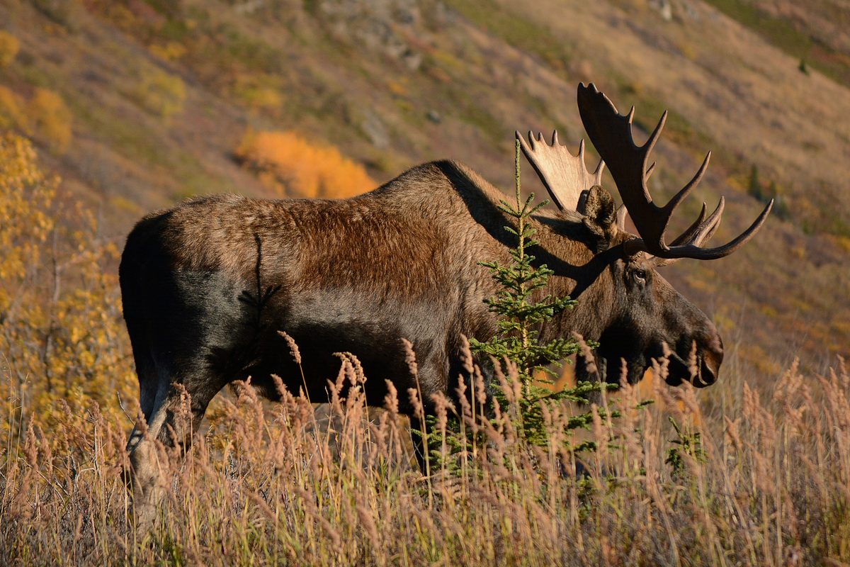
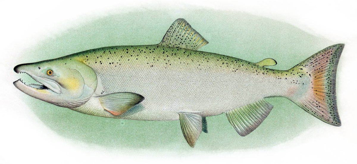

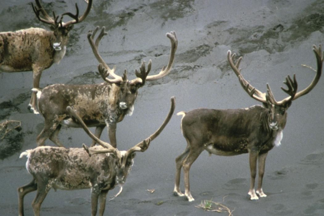
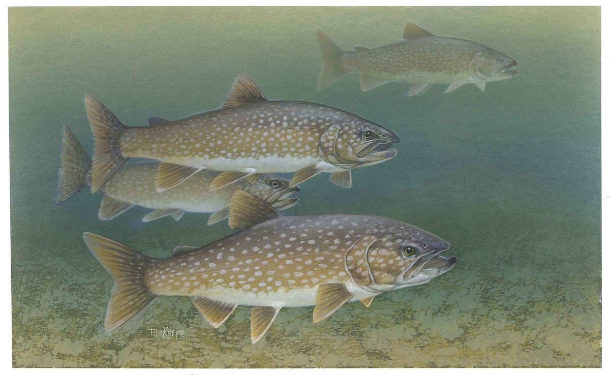

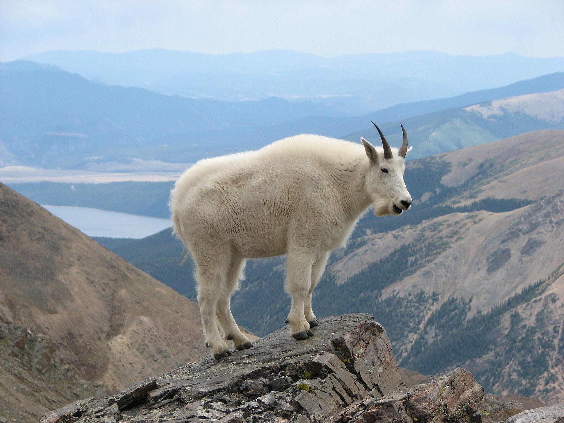
Waring Mountains and an Arctic wetland landscape
Selawik Wilderness lies within Selawik National Wildlife Refuge on the Arctic Circle, east of Kotzebue Sound in northwest Alaska. The wilderness occupies the Waring Mountains, where rolling alpine tundra rises toward a bare spine of low ridges along its northern boundary. Elevations reach about 1,400 feet. Vegetated sand dunes survive here from the Pleistocene, formed from glacially ground sand carried by wind and water. These mountains contrast with the broad, low Selawik Valley and the extensive tundra wetlands between the Waring Mountains and Selawik Hills. Keep the wilderness and the larger refuge distinct when planning: the refuge extends toward the Selawik River headwaters and the Kobuk River delta, but those broader geographic descriptions do not establish a route within the designated wilderness.
Trail-free travel and seasonal conditions
Selawik is a destination for self-directed travel rather than marked-trail hiking. The wilderness has no defined trails or public facilities, and its remoteness and rough topography make access difficult. The Waring Mountains and their dune fields offer some of the better summer hiking terrain on or near the wilderness, but a terrain description is not an established itinerary. Plan navigation, shelter, food and communications around being independent of developed recreation services. July is the warmest month, with average temperatures between 50 and 60 degrees Fahrenheit; January averages range from minus 10 to 4 degrees. Those averages are not a forecast. Carry clothing and shelter appropriate to an extreme northern climate, and leave flexibility for conditions. In fall, birch and low shrubs change color against the spruce forests.
Wildlife and a living subsistence homeland
Selawik takes its name from the Iñupiaq Siiḷvik, meaning “place of sheefish.” This is the homeland of the Iñupiat, and most public use of the refuge consists of subsistence activities by local residents. Hunting, fishing and camping are part of everyday relationships with this landscape, not simply visitor recreation. Respect ongoing activities and verify land ownership before choosing a camp or crossing land: privately owned Native Corporation and Native Allotment lands occur within the refuge boundary. The wider refuge supports nesting waterfowl, shorebirds and fish across its wetlands, while the Western Arctic Caribou Herd uses it for migration and winter habitat. Wildlife viewing should leave animals room to feed, rest and move. The Selawik River supports whitefish, sheefish, northern pike and burbot; unlike the Kobuk River, it does not support salmon.
Route options
- Waring Mountains tundra and ridgesTrail-free travel in remote, rough terrain
A self-planned hiking option through rolling alpine tundra toward the low, bare ridges. No defined trail or fixed itinerary is established here; select an approach and turnaround only after checking terrain, boundaries and access.
- Waring Mountains vegetated dune fields
A terrain-based summer hiking option focused on the ancient vegetated dunes on or near the wilderness. Confirm the location and ownership of the intended hiking area rather than treating the dune fields as a marked route.
Sample itineraries
- Waring Mountains Summer Hiking · 3 days
Suggested field time, not an established route: explore rolling alpine tundra and low ridges in the Waring Mountains, with camping locations chosen after checking land ownership. There are no defined trails. Arrange access separately and allow additional travel time.
- Dune Landscape and Fall Tundra · 2 days
Suggested field time: focus on the Waring Mountains’ vegetated sand dune fields and autumn birch and shrub colors. Use a self-supported camp and short, terrain-dependent walks. Confirm wilderness boundaries, land ownership and practical access before choosing a route.
Seasonal conditions
Spring
Spring migration
Western Arctic Herd caribou pass through the refuge during spring migration. Plan conservatively for Arctic conditions and wetland travel; confirm local conditions before selecting terrain or arranging access.
Summer
Summer; warmest temperatures in July
July temperatures average between 50°F and 60°F. The mountains and dune fields offer some of the better summer hiking terrain on or near the wilderness. Wetlands support nesting waterfowl and abundant insects; carry weather protection and avoid disturbing nesting birds.
Fall
Fall migration and changing foliage
Birch and low shrubs change color against dark spruce forests. Caribou migrate through the refuge. Prepare for cooling conditions, keep plans flexible and observe animals without blocking their movement.
Winter
Winter; coldest temperatures in January
January temperatures average between -10°F and 4°F. The refuge provides wintering habitat for Western Arctic Herd caribou. Remote travel without public facilities demands cold-weather equipment, reliable communication and conservative decisions.
| Season | Window | Conditions |
|---|---|---|
| Spring | Spring migration | Western Arctic Herd caribou pass through the refuge during spring migration. Plan conservatively for Arctic conditions and wetland travel; confirm local conditions before selecting terrain or arranging access. |
| Summer | Summer; warmest temperatures in July | July temperatures average between 50°F and 60°F. The mountains and dune fields offer some of the better summer hiking terrain on or near the wilderness. Wetlands support nesting waterfowl and abundant insects; carry weather protection and avoid disturbing nesting birds. |
| Fall | Fall migration and changing foliage | Birch and low shrubs change color against dark spruce forests. Caribou migrate through the refuge. Prepare for cooling conditions, keep plans flexible and observe animals without blocking their movement. |
| Winter | Winter; coldest temperatures in January | January temperatures average between -10°F and 4°F. The refuge provides wintering habitat for Western Arctic Herd caribou. Remote travel without public facilities demands cold-weather equipment, reliable communication and conservative decisions. |
Permits, fees & closures
Confirm current permit requirements, activity rules and access arrangements with the U.S. Fish and Wildlife Service at Selawik Refuge Headquarters: (907) 302-4959.
Official source: Selawik National Wildlife Refuge · Verified November 4, 2026
Hazards & regulations
- Extreme Arctic climate: January averages range from -10°F to 4°F, and even summer trips require insulation and weather protection.
- Remoteness and difficult access: rough topography, no defined trails and no public facilities require self-supported planning.
- Extensive wetlands, river channels and sloughs complicate overland travel. Choose routes conservatively rather than assuming direct crossings are practical.
- Private Native Corporation and Native Allotment lands occur within refuge boundaries. Check ownership to avoid trespass.
What to pack for Selawik Wilderness
- Layered insulation suited to the season
- Waterproof outerwear
- Shelter and sleeping system appropriate for Arctic conditions
- Insect protection for summer
- Topographic maps and compass
- Offline navigation with backup power
- Land-ownership and wilderness-boundary information
- Satellite communication device
- Written trip plan left with a trusted contact
- Food and reserve supplies
- Water treatment
- First-aid and repair kits
- Footwear suited to wet tundra and rough terrain
- Binoculars for distant wildlife viewing
Selawik Wilderness FAQ
- Where is Selawik Wilderness?
- It lies within Selawik National Wildlife Refuge in northwestern Alaska, on the Arctic Circle east of Kotzebue Sound. The wilderness occupies the Waring Mountains, with rolling alpine tundra, low ridges and ancient vegetated sand dune fields.
- Are there trails, campgrounds or visitor facilities?
- The wilderness has no defined trails or public facilities, and the refuge has no developed recreational facilities. Plan for self-supported travel rather than a marked hiking route or serviced campground.
- How should access be planned?
- Contact Selawik Refuge Headquarters in Kotzebue at (907) 302-4959 before committing to a trip. Access is difficult because of remoteness and rough topography. Confirm a practical access plan and applicable rules rather than treating a map point as an arrival site.
- What should visitors know about local land use?
- The refuge is Iñupiat homeland, and most public use involves local subsistence activities. Respect hunting, fishing, gathering and camps. Refuge boundaries include privately owned Native Corporation and Native Allotment lands; verify ownership before traveling or camping.
- What distinguishes the hiking terrain?
- The Waring Mountains rise gradually from rolling foothills to low, bare ridges, reaching about 1,400 feet. Vegetated dune fields preserve sand deposited by wind and water after ancient glacial grinding. These mountains and dunes offer summer hiking terrain on or near the wilderness.
- Are there salmon in the Selawik River?
- Salmon occur in the Kobuk River, primarily chum salmon, but not in the Selawik River. The Selawik watershed supports whitefish, northern pike and burbot, and the upper river is a regional spawning area for sheefish. Confirm current fishing requirements before fishing.