



- Region
- MI, USA
- Country
- United States
- Best for
- hiking
- Best season
- Spring, Summer
- Permits
- Confirm permit requirements and current re…
- Managed by
- U.S. Forest Service, Ottawa National Forest, Kenton Ranger District
Plan with verified data
Sturgeon River Gorge Wilderness trip tools
Tools for a trip here
Picked for how, when and where you're going. Free, no signup.
Photos of Sturgeon River Gorge Wilderness
How to get there
For southern access from Sidnaw, travel east on M-28 approximately one-quarter mile, then turn left onto FR 2200. Continue north approximately five miles for Sturgeon River Campground on the left. For Sidnaw Creek Trail, travel north on FR 2200 approximately three miles, turn left onto FR 2224, and follow it to the parking area. For northern access to Sturgeon Falls, turn south from M38 onto Prickett Dam Road, bear right at the fork onto Forest Road 2270, and continue almost 10 miles to the trailhead on the right, with parking on the left. Use the campground or an approved trailhead to enter the wilderness.
- Sturgeon River Campground
Riverside access on the southeastern wilderness boundary, reached from FR 2200. The seven-site campground has no services or potable water.
- Sidnaw Creek Trail
The southernmost trailhead, reached by taking FR 2224 west from FR 2200 and following it to the parking area.
- Sturgeon Falls trailhead
Northern trail access from Forest Road 2270 via Prickett Dam Road and M38. The trailhead is on the right when approaching from this direction, with parking on the left.
Sources: fs.usda.gov · University of Montana / federal agency partners · Wilderness Connect / federal wilderness boundary inventory · Wikipedia. Confirm road and trailhead conditions with the managing agency before you leave.
MI, USA · United States
- Canoeing
- Kayaking
- Rafting
- Mountaineering
- Hiking
- Wildlife Viewing
- Backpacking
- Fishing
A steep, forested river wilderness
Sturgeon River Gorge Wilderness lies within Ottawa National Forest in Michigan’s Baraga and Houghton counties, with Sidnaw southwest of its southern end. The Wild and Scenic Sturgeon River shapes the landscape, flowing over the 20-foot volcanic outcroppings at Sturgeon Falls and through a gorge reaching 350 feet deep and a mile wide. Together with the Little Silver River and their tributaries, it has carved a varied landscape of rapids, ponds, oxbows, and terraces. Most of the terrain is forested, with pine, hemlock, aspen, sugar maple, birch, and basswood covering all but a few naturally bare slopes. Views open from the eastern rim, while much of the interior experience is close-range forest and river travel. Fall brings hardwood color, but this remains rugged country rather than a developed overlook circuit. Choose an outing around the terrain and available trails, not simply the apparent proximity of the river.
Walking routes and seasonal demands
There are few established trails inside the wilderness, and old logging roads are overgrown and difficult to locate or follow. A map and dependable navigation skills matter here; an old road trace should not be treated as a reliable marked route. The North Country National Scenic Trail parallels the northern and eastern boundaries for about eight miles, offering a different option from travel deeper into the interior. Shorter trails provide entry into the wilderness, including access at Sidnaw Creek Trail in the south and Sturgeon Falls in the north. The wilderness and trails are open year-round, though snowfall can make travel very difficult. River outings require separate judgment: kayaking and white-water canoeing during spring and peak runoff are challenging and recommended only for advanced paddlers. Falls, rapids, and steep terrain make this a place to match plans carefully to experience, conditions, and the ability to turn back.
Camping and low-impact preparation
Sturgeon River Campground sits beside the river on the wilderness’s southeastern boundary. Its seven sites offer a base for exploring, but no services are provided, and there is no potable water. June through August is identified as the campground’s best season. Camping in the wilderness itself demands greater self-sufficiency: carry in a water supply, pack out all trash, and expect no waste disposal facilities. Use low-impact camping practices that leave the site undisturbed. Ottawa National Forest limits stays at a camping site to 16 days, after which campers must move to a new spot. Confirm current fire restrictions and any permit requirements with the Kenton Ranger District before departure, and plan meals around a camp stove rather than a fire. Motorized vehicles are not authorized within wilderness boundaries. Black bears occur here, so secure food and scented items and give wildlife space; deer, otters, beavers, and occasional bald eagles also inhabit the area.
Where on earth
Satellite imagery flying in from a world view to Sturgeon River Gorge Wilderness, United States. Use the + / − buttons, or click the map to zoom with your scroll wheel; drag to pan and pinch to zoom on touch.
Coordinates
- Decimal degrees
- 46.6091, -88.7054
- Latitude (DMS)
- 46° 36′ 32.6″ N
- Longitude (DMS)
- 88° 42′ 19.4″ W
Coordinates are an access-point reference for Sturgeon River Gorge Wilderness, not a route. Carry a paper map and confirm trailhead or put-in access with the managing agency before you go.
Topic summary
The Wild and Scenic Sturgeon River rushes out of the northern portion of this Wilderness, over the 20-foot volcanic outcropping of Sturgeon Falls, and through a gorge that reaches 300 feet in depth and...
Key takeaways
- Region: MI, USA
- Country: United States
- Good for: hiking
- Coordinates: 46.609, -88.705
Intended uses
hiking
Keep planning
Popular pursuits at Sturgeon River Gorge Wilderness
- Canoeing
Paddle routes, portages, and put-ins.
- Kayaking
Sheltered and open-water paddling lines.
- Rafting
Whitewater sections and the flows that make them run.
- Mountaineering
Glacier and high-route objectives with real consequence.
- Hiking
Day miles on marked trail, with route notes and trail links below.
- Wildlife Viewing
Best light, best season, and where animals move.
Animals around Sturgeon River Gorge Wilderness
 Wildlife guideBlack bearUrsus americanus
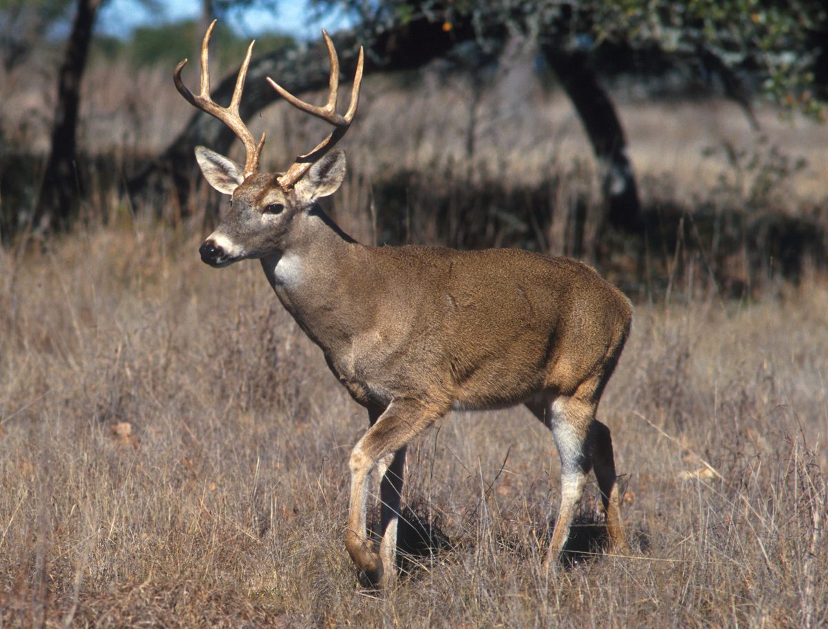 Big gameWhitetail DeerOdocoileus virginianus
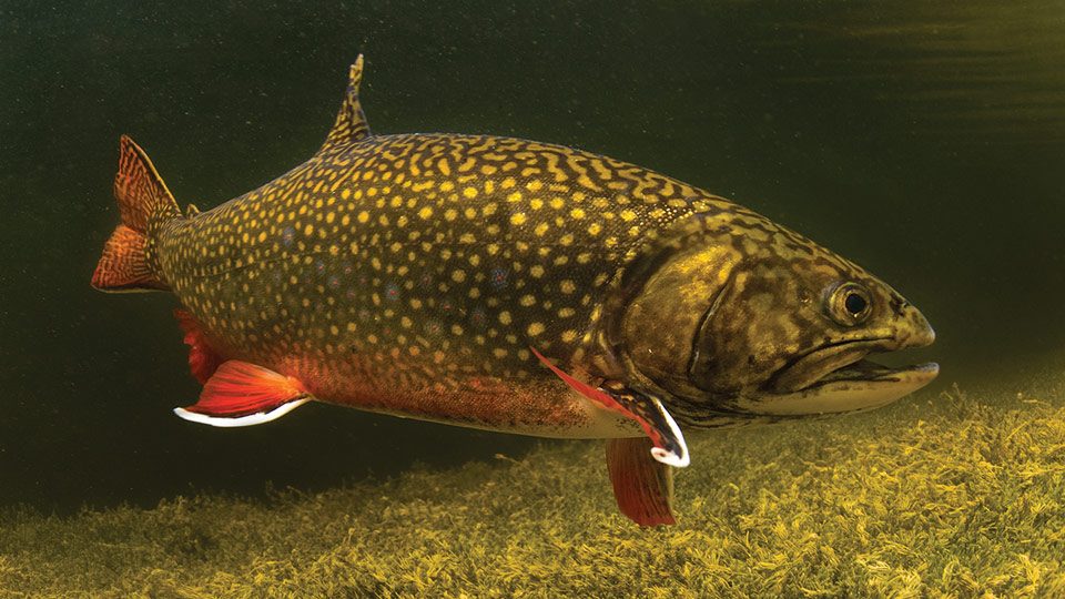 GamefishBrook TroutSalvelinus fontinalis
 Wildlife guideNorth American beaverCastor canadensis
 Big gameBlack BearUrsus americanus
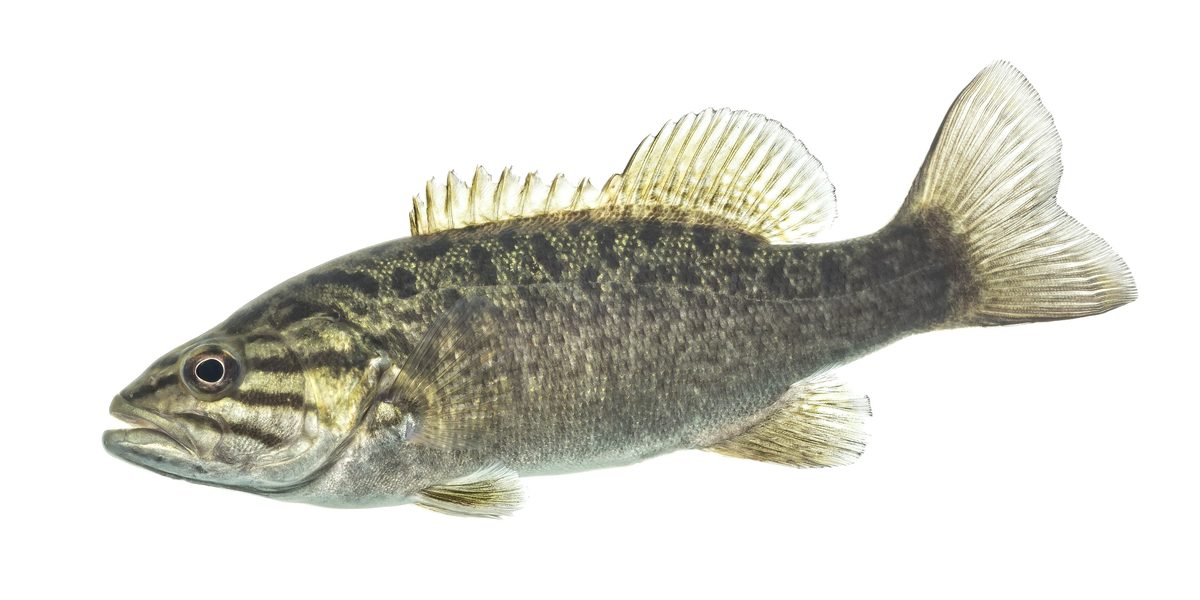 GamefishSmallmouth BassMicropterus dolomieu
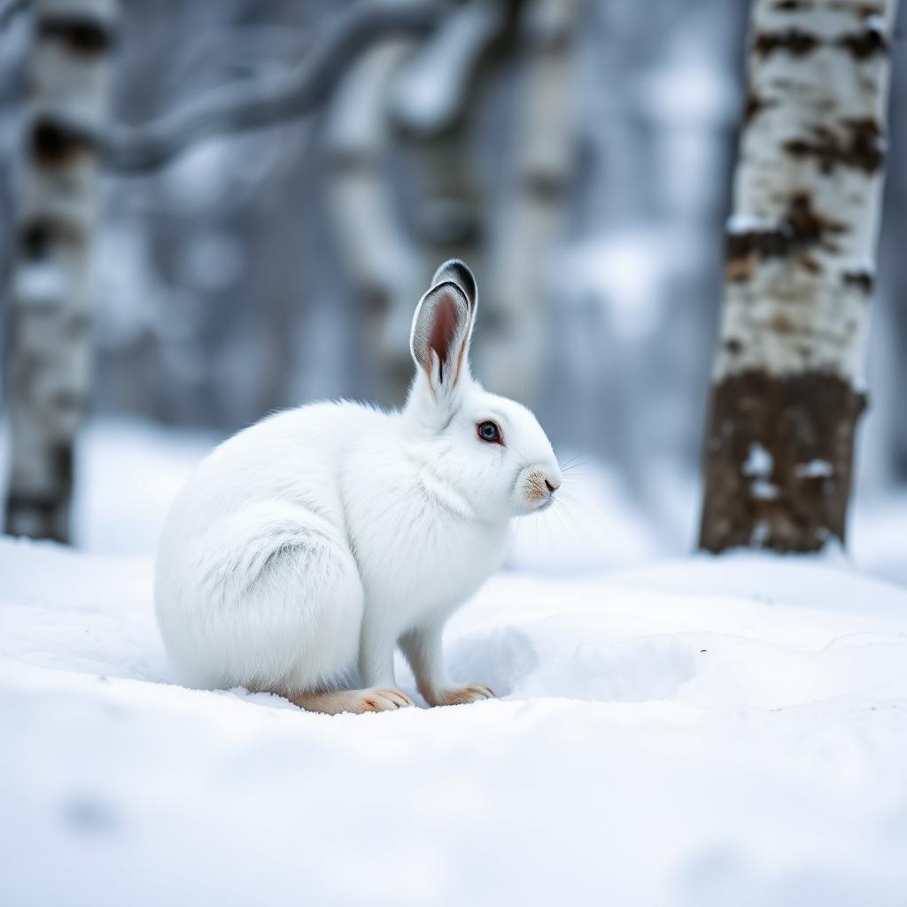 Wildlife guideSnowshoe hareLepus americanus
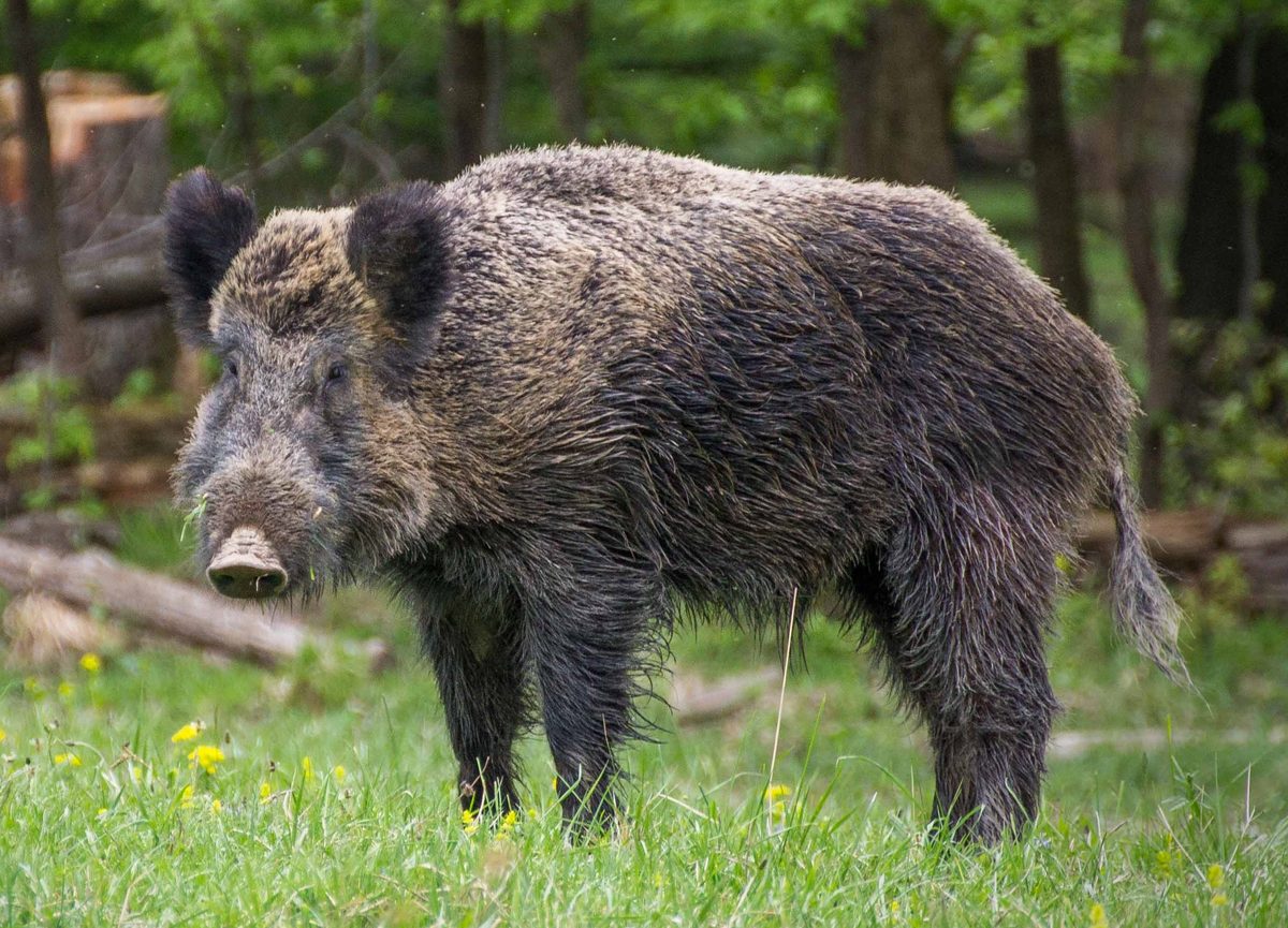 Big gameWild HogSus scrofa
A steep, forested river wilderness
Sturgeon River Gorge Wilderness lies within Ottawa National Forest in Michigan’s Baraga and Houghton counties, with Sidnaw southwest of its southern end. The Wild and Scenic Sturgeon River shapes the landscape, flowing over the 20-foot volcanic outcroppings at Sturgeon Falls and through a gorge reaching 350 feet deep and a mile wide. Together with the Little Silver River and their tributaries, it has carved a varied landscape of rapids, ponds, oxbows, and terraces. Most of the terrain is forested, with pine, hemlock, aspen, sugar maple, birch, and basswood covering all but a few naturally bare slopes. Views open from the eastern rim, while much of the interior experience is close-range forest and river travel. Fall brings hardwood color, but this remains rugged country rather than a developed overlook circuit. Choose an outing around the terrain and available trails, not simply the apparent proximity of the river.
Walking routes and seasonal demands
There are few established trails inside the wilderness, and old logging roads are overgrown and difficult to locate or follow. A map and dependable navigation skills matter here; an old road trace should not be treated as a reliable marked route. The North Country National Scenic Trail parallels the northern and eastern boundaries for about eight miles, offering a different option from travel deeper into the interior. Shorter trails provide entry into the wilderness, including access at Sidnaw Creek Trail in the south and Sturgeon Falls in the north. The wilderness and trails are open year-round, though snowfall can make travel very difficult. River outings require separate judgment: kayaking and white-water canoeing during spring and peak runoff are challenging and recommended only for advanced paddlers. Falls, rapids, and steep terrain make this a place to match plans carefully to experience, conditions, and the ability to turn back.
Camping and low-impact preparation
Sturgeon River Campground sits beside the river on the wilderness’s southeastern boundary. Its seven sites offer a base for exploring, but no services are provided, and there is no potable water. June through August is identified as the campground’s best season. Camping in the wilderness itself demands greater self-sufficiency: carry in a water supply, pack out all trash, and expect no waste disposal facilities. Use low-impact camping practices that leave the site undisturbed. Ottawa National Forest limits stays at a camping site to 16 days, after which campers must move to a new spot. Confirm current fire restrictions and any permit requirements with the Kenton Ranger District before departure, and plan meals around a camp stove rather than a fire. Motorized vehicles are not authorized within wilderness boundaries. Black bears occur here, so secure food and scented items and give wildlife space; deer, otters, beavers, and occasional bald eagles also inhabit the area.
Route options
- North Country National Scenic Trail boundary segmentAbout eight miles along the wilderness boundaries
Follow the established trail along the northern and eastern wilderness boundaries. This is a boundary-paralleling option, not a route through the gorge interior.
- Sidnaw Creek Trail
Use the southernmost trailhead for a walking entry into the wilderness. Plan navigation carefully before extending an outing beyond established trail, since old logging roads can be difficult to follow.
- Sturgeon Falls trail
Approach Sturgeon Falls from the northern trailhead off Forest Road 2270. The falls mark the river’s passage over volcanic outcroppings in rugged gorge terrain.
Sample itineraries
- Sturgeon Falls day hike · 1 day
Explore Sturgeon Falls from its northern trailhead. From M38, take Prickett Dam Road south, bear right onto Forest Road 2270, and continue almost 10 miles to the trailhead on the right, with parking opposite. Carry water and allow time for steep terrain; keep clear of rushing water and exposed edges.
- Campground base and wilderness walks · 2 days
Base at Sturgeon River Campground on the southeastern boundary. Spend one day exploring from Sidnaw Creek Trail and another walking a chosen section of the North Country National Scenic Trail along the northern or eastern boundary. Plan access separately rather than assuming a connecting loop. Bring all water and pack out trash.
- Self-reliant wilderness overnight · 2 days
Experienced navigators can plan an out-and-back backpacking trip from an approved trailhead. Keep the route conservative: established trails are few, and old logging roads are overgrown. Carry water, use low-impact camping practices, and confirm current fire restrictions before departure.
Seasonal conditions
Spring
Spring and peak runoff
The Sturgeon River's falls and rapids demand caution during runoff. Kayaking and white-water canoeing are recommended only for advanced paddlers under these conditions. Hiking plans should account for steep terrain and difficult navigation.
Summer
June–August
The recommended campground season is June through August. Forest cover dominates the wilderness, but services remain minimal. Bring drinking water, carry navigation tools, and do not expect overgrown logging roads to provide dependable routes.
Fall
Fall leaf change
Sugar maple, birch, aspen, and basswood bring changing color to the forest. The eastern gorge rim offers views. Keep outings within navigation skills and available daylight; the steep terrain and sparse trail network remain demanding.
Winter
Winter
The wilderness and trails are open year-round, but snowfall can make travel very difficult. Plan conservative outings with cold-weather clothing and emergency supplies. Motorized vehicles are not allowed within wilderness boundaries.
| Season | Window | Conditions |
|---|---|---|
| Spring | Spring and peak runoff | The Sturgeon River's falls and rapids demand caution during runoff. Kayaking and white-water canoeing are recommended only for advanced paddlers under these conditions. Hiking plans should account for steep terrain and difficult navigation. |
| Summer | June–August | The recommended campground season is June through August. Forest cover dominates the wilderness, but services remain minimal. Bring drinking water, carry navigation tools, and do not expect overgrown logging roads to provide dependable routes. |
| Fall | Fall leaf change | Sugar maple, birch, aspen, and basswood bring changing color to the forest. The eastern gorge rim offers views. Keep outings within navigation skills and available daylight; the steep terrain and sparse trail network remain demanding. |
| Winter | Winter | The wilderness and trails are open year-round, but snowfall can make travel very difficult. Plan conservative outings with cold-weather clothing and emergency supplies. Motorized vehicles are not allowed within wilderness boundaries. |
Permits, fees & closures
Confirm permit requirements and current restrictions with the Kenton Ranger District at 906-852-3500. Camping at a site is limited to 16 days, after which campers must move to a new spot.
Reservations: No reservations are offered for Sturgeon River Campground.
Official source: Ottawa National Forest | Sturgeon River Gorge Wilderness · Verified November 4, 2026
Hazards & regulations
- Steep gorge slopes and exposed edges require careful footing. The gorge reaches 350 feet deep; avoid approaching edges for a better view.
- Falls, rapids, and peak runoff create serious river hazards. Spring and peak-runoff paddling are recommended only for advanced paddlers.
- Few established trails and hard-to-follow, overgrown logging roads make navigation challenging. Carry a map and compass rather than relying on visible paths.
- No safe drinking water or waste disposal facilities are provided in dispersed camping areas. Carry your water supply and pack out trash.
- Snowfall can make winter travel very difficult. Shorten objectives to match conditions and carry supplies for an unexpected delay.
- Black bears occur here. Secure food and scented items, keep a clean camp, and give wildlife space.
What to pack for Sturgeon River Gorge Wilderness
- Topographic map and compass
- Offline navigation with backup power
- Headlamp
- First-aid kit and emergency shelter
- Full drinking-water supply
- Trash bags
- Camp stove, subject to current restrictions
- Secure food storage
- Sturdy footwear with good traction
- Trekking poles
- Rain protection and insulating layers
- Additional cold-weather layers for winter travel
Sturgeon River Gorge Wilderness FAQ
- How do you reach the campground and Sidnaw Creek Trail?
- From Sidnaw, travel east on M28 approximately a quarter mile and turn left onto FR 2200. The campground is approximately five miles north, on the left. For Sidnaw Creek Trail, travel approximately three miles north on FR 2200, turn left onto FR 2224, and follow it to the parking area.
- Is there a maintained trail through the whole wilderness?
- Do not expect a continuous, easy-to-follow interior route. Established trails are few, and old logging roads are overgrown. The North Country National Scenic Trail parallels the northern and eastern boundaries for about eight miles; shorter trails provide access into the wilderness.
- What facilities does Sturgeon River Campground have?
- The campground has seven sites beside the Sturgeon River, adjacent to the wilderness. No services or potable water are provided, and there are no accessible sites. Bring water and supplies, and pack out trash.
- Are campfires allowed?
- Fire guidance differs between dispersed-camping and backpacking information. Confirm the rule for your planned activity with the Kenton Ranger District before departure. Plan around a camp stove rather than a fire, and check current restrictions on stove use.
- Is this a suitable beginner paddling destination?
- Not during spring or peak runoff, when kayaking and white-water canoeing are recommended only for advanced paddlers. Falls and rapids require serious assessment. Do not assume other seasons offer easy paddling; confirm river conditions before planning a trip.
- Can motorized vehicles enter the wilderness?
- No motorized vehicles of any kind are authorized within wilderness boundaries. Use the campground or an approved trailhead for access, and plan travel inside the wilderness accordingly.