



Where on earth
Satellite imagery flying in from a world view to Svalbard Ski Touring, Polar Regions. Use the + / − buttons, or click the map to zoom with your scroll wheel; drag to pan and pinch to zoom on touch.
- Region
- Norway
- Country
- Polar Regions
- Biome
- Arctic (0–1,700 m)
- Best season
- March – May
- Difficulty
- moderate
- Backpacking
- Hiking
- Winter Camping
- Skiing
- Wildlife Viewing
Key takeaways
- Biome: Arctic (0–1,700 m)
- Best season: March – May
- Difficulty: moderate
- Top activity: backpacking
Photos of Svalbard Ski Touring
Topic summary
Ship-based ski touring on the Svalbard archipelago at 78°N.
Key takeaways
- Difficulty: moderate
- Best season: March – May
Intended uses
backpacking
Climate suitability
Arctic (0–1,700 m)
Tools for a trip here
Picked for how, when and where you're going. Free, no signup.
- Sleep System Temp CalculatorCold nights: check your bag and pad add up to a safe sleep.
- Base Weight CalculatorEvery ounce is carried — total your kit and find your base weight.
- Pack Volume SizerSize the pack for your trip length and season.
- Water Purification MatrixTreat water from streams and lakes on trail.
- Layering CalculatorCold-season miles: layer for climbs and camp.
Plan with verified data
Svalbard Ski Touring trip tools
How to get there
Svalbard Airport is the main gateway. Longyearbyen, the largest settlement, lies on Isfjorden on the west coast of Spitsbergen. No roads connect Svalbard's settlements; onward inter-settlement travel uses snowmobiles, aircraft or boats. Confirm transport for the specific touring area before departure.
- Svalbard Airport
The archipelago's main arrival gateway. Arrange onward travel separately; arrival at the airport does not establish access to a ski route.
- Longyearbyen
Svalbard's largest settlement, situated on Isfjorden on the west coast of Spitsbergen. A geographic starting point for trip organization, not a documented ski trailhead.
Sources: Wikipedia · Wikivoyage. Confirm road and trailhead conditions with the managing agency before you leave.
Popular pursuits at Svalbard Ski Touring
- Backpacking
Multi-day travel with everything on your back — see the packing blocks below.
- Hiking
Day miles on marked trail, with route notes and trail links below.
- Winter Camping
Cold-season travel and camp craft; layering matters more than mileage.
- Skiing
Ski-touring access when the road closes for the season.
- Wildlife Viewing
Best light, best season, and where animals move.
Animals around Svalbard Ski Touring
 Wildlife guideTimber wolfCanis lupus
 Wildlife guideCanada lynxLynx canadensis
 Wildlife guideWolverineGulo gulo
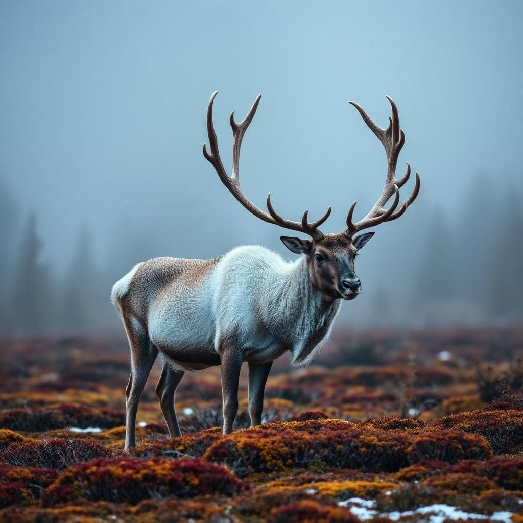 Wildlife guideWoodland caribouRangifer tarandus caribou
 Wildlife guideNorth American beaverCastor canadensis
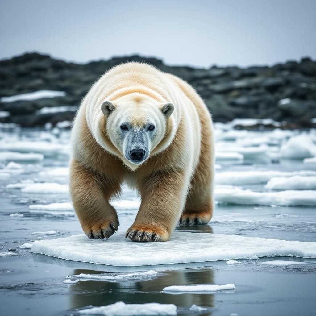 Wildlife guidePolar bearUrsus maritimus
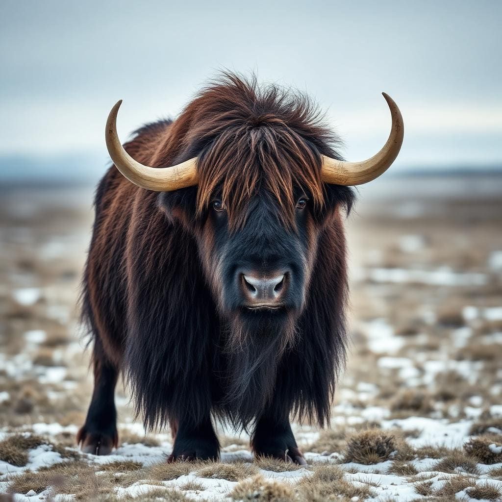 Wildlife guideMuskoxOvibos moschatus
 Wildlife guideMooseAlces alces
Maps, GPS & compass for this trip
Carry a waterproof paper map and a compass you can steer by, and treat the GPS as the backup — not the other way round. Buying links go to Amazon; Wild10 earns a commission at no cost to you.
Waterproof topo maps
- Waterproof topographic map — Svalbard Ski TouringAmazon search for waterproof, tear-resistant topo maps covering this area.
- National Geographic Trails IllustratedThe waterproof Trails Illustrated series — check for a sheet covering this area.
- Waterproof map case & compass lanyardKeep a paper map readable in rain, spray and a swamped boat.
Fishing at Svalbard Ski Touring
Planning to fish Svalbard Ski Touring, Norway? Fishing licences, open seasons and catch limits in Norway are set by the local wildlife authority and change every year — check the official source before you cast a line.
Do I need a fishing licence at Svalbard Ski Touring?
- A Norway fishing licence is normally required for anyone over the local youth age.
- Read the current Norway fishing regulations for special waters, barbless-hook or catch-and-release rules.
- Clean, drain and dry boats and gear between waters to stop invasive species.
Hunting near Svalbard Ski Touring
Thinking about hunting Svalbard Ski Touring, Norway? Hunting seasons, tags and draws in Norway are set by the wildlife authority each year. Confirm the rules for your species and unit before you go.
Is hunting allowed at Svalbard Ski Touring?
- Confirm the land around Svalbard Ski Touring is open to hunting and which management unit it falls in.
What do I need to hunt in Norway?
- A Norway hunting licence — most jurisdictions also require hunter education certification.
- Species tags or draw results for big game such as deer, elk, moose or bear where they occur.
- Knowledge of firearm and bow transport rules, which differ by land type and border crossing.
An Arctic archipelago, not a single touring area
Svalbard lies between the northern coast of Norway and the North Pole, where the Arctic and Atlantic oceans meet. For ski-trip planning, its defining features are mountains, fjords and extensive ice: glaciers cover approximately 60% of the archipelago. Spitsbergen is the largest island, and Longyearbyen, on Isfjorden along its west coast, is the largest settlement. These are useful geographic anchors, but they do not establish a particular ski itinerary or its difficulty. Treat Svalbard as a broad expedition destination rather than a connected network of road-accessible tours. A workable plan needs a specific touring area, appropriate transport and a realistic assessment of the terrain. The scale of the islands makes narrowing that plan more useful than trying to cover the archipelago in one trip.
Transport and trip structure
Svalbard Airport is the main gateway to the archipelago. Beyond arrival, the central logistical fact is that no roads connect the settlements. Snowmobiles, aircraft and boats provide inter-settlement transport, so a touring plan cannot assume that another community is reachable by car. Longyearbyen provides the clearest settlement-based starting point for organizing a visit, while places such as Barentsburg and Ny-Ålesund belong to a wider transport picture rather than a road circuit. Decide where the skiing will take place before building the rest of the itinerary around it. Confirm how the group will reach that area and return, and leave room for changes appropriate to an Arctic trip. The existence of a settlement or transport mode does not establish a ski access service.
Conditions, wildlife and protected land
Svalbard has an Arctic climate, moderated by Atlantic influence but still requiring cold-weather planning. Midnight sun and polar night make daylight a major consideration; neither alone establishes suitable skiing conditions. Extensive glacier cover also means that terrain selection must account for whether a proposed tour crosses ice, with skills and equipment matched to that choice. Polar bears live in the archipelago, alongside reindeer, Arctic foxes and marine mammals, so wildlife safety needs to be part of trip preparation rather than an afterthought. Seven national parks and 23 nature reserves protect roughly two-thirds of Svalbard. Keep disturbance low in this fragile environment, and confirm current access rules, permit requirements and wildlife-safety arrangements with the managing authority before committing to a touring plan.
Route options
- Spitsbergen
An island-scale area to consider when developing a touring itinerary, rather than a defined route. It is Svalbard's largest island and contains Longyearbyen. Specific ski lines, access arrangements and terrain assessments need to be established before travel.
- Isfjorden
A more focused geographic anchor on Spitsbergen's west coast, where Longyearbyen is situated. This is an area for itinerary planning, not a documented fjord crossing or ski circuit; no particular ascent, descent or crossing is specified.
Sample itineraries
- Longyearbyen-based ski-touring plan · 3 days
Use Longyearbyen on Spitsbergen as a base. Allow one day for arrival and local planning, one for a ski outing matched to current conditions and the group's skills, and one for weather flexibility or departure. Confirm suitable terrain, access and wildlife precautions before committing.
- Spitsbergen touring with contingency time · 5 days
Arrive through Svalbard Airport and organize logistics in Longyearbyen. Allocate three days to condition-dependent skiing and a final day to departure. Keep objectives flexible rather than planning a settlement-to-settlement traverse: no roads connect the settlements, and onward transport needs separate arrangements.
Seasonal conditions
Spring
Transition toward the long daylight season
Plan around changing daylight and Arctic conditions. Longer days do not establish safe snow or glacier travel; confirm local conditions before choosing ski terrain.
Summer
Midnight-sun season
Extended daylight shapes the season, but does not guarantee suitable skiing. Glaciers cover much of the archipelago. Protect fragile vegetation and avoid disturbing breeding seabirds.
Fall
Transition toward polar night
Build plans around diminishing daylight and an Arctic climate. Do not assume touring snow is established; confirm snow coverage, access and transport before setting objectives.
Winter
Polar-night season
Darkness adds a substantial planning constraint to Arctic travel. Keep objectives conservative and prepare for cold and limited visibility. Ocean influence moderates temperatures relative to other places at this latitude, but does not remove cold-weather demands.
| Season | Window | Conditions |
|---|---|---|
| Spring | Transition toward the long daylight season | Plan around changing daylight and Arctic conditions. Longer days do not establish safe snow or glacier travel; confirm local conditions before choosing ski terrain. |
| Summer | Midnight-sun season | Extended daylight shapes the season, but does not guarantee suitable skiing. Glaciers cover much of the archipelago. Protect fragile vegetation and avoid disturbing breeding seabirds. |
| Fall | Transition toward polar night | Build plans around diminishing daylight and an Arctic climate. Do not assume touring snow is established; confirm snow coverage, access and transport before setting objectives. |
| Winter | Polar-night season | Darkness adds a substantial planning constraint to Arctic travel. Keep objectives conservative and prepare for cold and limited visibility. Ocean influence moderates temperatures relative to other places at this latitude, but does not remove cold-weather demands. |
Permits, fees & closures
Confirm current ski-touring permissions, protected-area rules and any authorization requirements with the Governor of Svalbard or the relevant managing agency before travel.
Confirm current permits, fees, and closures with the managing agency before you go.
Hazards & regulations
- Polar bears live in Svalbard. Establish a locally appropriate wildlife-safety plan before leaving settlements.
- Arctic cold requires reliable insulation, weather protection and contingency planning, despite the warming influence of Atlantic waters.
- Glaciers cover approximately 60% of the archipelago. Do not treat glacier terrain as ordinary ski ground; match objectives to specialist skills and equipment.
- Polar night limits natural light. Account for darkness in navigation, timing and emergency planning.
- No roads connect the settlements. Do not assume road access or a simple overland exit if plans change.
What to pack for Svalbard Ski Touring
- Touring skis, boots, skins and poles
- Repair supplies appropriate to the ski setup
- Specialist glacier equipment selected with a qualified local professional if the itinerary requires it
- Insulating layers and weatherproof outerwear
- Warm gloves with spares
- Warm headwear and face protection
- Eye protection suited to snow and changing light
- Navigation tools with backup power
- Headlamp and spare batteries
- Emergency shelter and first-aid kit
- Food, drinking water and a way to protect water from freezing
- Communication equipment appropriate to the planned area
Wildlife you may see
- Polar bears
- Svalbard reindeer
- Arctic foxes
- Breeding seabirds
- Marine mammals
Svalbard Ski Touring FAQ
- Where is the main arrival point?
- Svalbard Airport is the main gateway. Longyearbyen, the largest settlement, lies in Isfjorden on the west coast of Spitsbergen.
- Can settlements be linked by road?
- No roads connect Svalbard's settlements. Inter-settlement transport uses snowmobiles, aircraft and boats. Confirm transport for the intended season rather than assuming a road transfer is possible.
- What terrain defines ski-trip planning here?
- Svalbard has many mountains and fjords, and approximately 60% of its land is glacier-covered. Terrain selection needs to account for glacier travel, Arctic conditions and the group's experience.
- Is a local guide worth considering?
- A qualified local guide is a sensible choice for unfamiliar Arctic terrain, glacier travel and polar-bear precautions. Discuss experience, equipment and realistic objectives before choosing an itinerary.
- How extensive are protected areas?
- Seven national parks and 23 nature reserves cover about two-thirds of the archipelago. Keep disturbance low and confirm the rules for each intended area before travel.
- Is Svalbard part of the Schengen Area?
- No. Svalbard is under Norwegian sovereignty but outside the Schengen Area. Check entry and transit requirements for the entire journey, including any passage through mainland Norway.