



- Region
- MI, USA
- Country
- United States
- Best for
- hiking
- Best season
- Spring, Summer
- Permits
- All wilderness visitors need a permit from…
- Managed by
- U.S. Forest Service, Ottawa National Forest, Watersmeet Ranger District
Plan with verified data
Sylvania Wilderness trip tools
Tools for a trip here
Picked for how, when and where you're going. Free, no signup.
Photos of Sylvania Wilderness
How to get there
Sylvania Wilderness is a few miles west of Watersmeet Township in Michigan’s western Upper Peninsula, within Ottawa National Forest. Sylvania Recreation Area lies on the wilderness’s northern border and provides a major trailhead. The road system at Sylvania Clark Lake Campground provides access to wilderness entry points. Obtain the wilderness map and confirm your intended entry point before traveling.
- Sylvania Recreation Area
Located on the northern wilderness boundary, with a major trailhead for access to the forest trail system.
- Sylvania Clark Lake Campground
A drive-in camping base with a road system providing access to wilderness entry points. Backcountry campsites must still be reached by trail or water.
- Sylvania Entrance Station
The permit and information stop for wilderness visitors, providing rules, current conditions, and area information. Confirm onward access for the trip you intend to take.
Sources: fs.usda.gov · University of Montana / federal agency partners · Wilderness Connect / federal wilderness boundary inventory · Wikipedia. Confirm road and trailhead conditions with the managing agency before you leave.
MI, USA · United States
- Canoeing
- Kayaking
- Winter Camping
- Skiing
- Hiking
- Wildlife Viewing
- Backpacking
- Fishing
Old-growth forest and lake country
Sylvania Wilderness sits a few miles west of Watersmeet Township in Michigan’s western Upper Peninsula, entirely within Ottawa National Forest. Its 18,327 acres contain 34 named lakes and rolling hills covered with old-growth forest. White and red pines share the woods with hemlocks, yellow birches, basswoods, and sugar maples; some trees are as much as 400 years old. Some lakes have sandy beaches, while others are bordered by large pines. The landscape lies on the divide between the Lake Superior and Mississippi River drainages, with many lakes fed by springs and precipitation rather than connecting streams. That combination makes Sylvania a destination for both forest walking and non-motorized lake travel. Hiking, canoeing, kayaking, fishing, and wildlife watching are the main reasons to visit. Choose a trip around time in the woods or on the water rather than expecting a single developed attraction.
Choosing a day trip or overnight stay
A day hike offers a straightforward way to experience Sylvania’s large trees without organizing a backcountry camp. The trail system passes through old-growth forest and provides access to wilderness campsites. Canoes and kayaks offer another approach, with overnight sites reached by water or on foot. The 50 designated backcountry campsites are spread along eight lakes, not grouped into one campground. Each has a fire ring and wilderness latrine, and camping is allowed only at designated sites. The maximum is six people per campsite. For a drive-in base outside the wilderness, Sylvania Clark Lake Campground has 48 campsites, a pressurized water system, flush toilets, and a picnic area. Its road system provides access to wilderness entry points. The day-use building’s showers are closed pending repairs, so do not count on them when planning a stay.
Permits, reservations, and trip preparation
All visitors entering the wilderness need a permit, available from the Entrance Station, and must register before entering. Backcountry campsite reservations are required from May 15 through September 30 through Recreation.gov or by calling 1-877-444-6777. Reservations open six months ahead for 37 sites and two weeks ahead for the remaining 13; same-day reservations are available for unbooked sites during that season. The reservation fee is $8 online or $9 through the call center. From October 1 through May 14, camping is first come, first served. The Entrance Station is open Tuesday through Sunday, 9:00 a.m. to 5:00 p.m. CST, and closed Mondays. Reservation holders checking in during open hours must watch the wilderness permit video. Carry a topographic map and compass, drinking water, food, first-aid supplies, a light, sturdy footwear, warm layers, and insect repellent. Check current conditions and additional wilderness rules before setting out.
Seasons, wildlife, and low-impact travel
June through August is the recommended season, with summer suited to paddling, swimming, hiking, and fishing. Winter skiing offers another way to travel through the forest, but requires preparation for cold conditions and navigation away from developed facilities. Sylvania supports loons, bald eagles, osprey, and woodland birds, along with otters, beavers, deer, bears, and other mammals. Watch from a distance, keep food secured, and give animals room along shorelines and around camp. Rare orchids are part of the forest’s plant life; leave flowers and other natural features undisturbed. Fishing is subject to Sylvania’s special regulations, so confirm the current rules before packing tackle. Fires are allowed only in designated fire rings. Pack out rubbish and use the provided wilderness latrines at campsites. Plan a manageable outing rather than assuming lake travel or a forest trail will be effortless.
Where on earth
Satellite imagery flying in from a world view to Sylvania Wilderness, United States. Use the + / − buttons, or click the map to zoom with your scroll wheel; drag to pan and pinch to zoom on touch.
Coordinates
- Decimal degrees
- 46.2137, -89.3048
- Latitude (DMS)
- 46° 12′ 49.2″ N
- Longitude (DMS)
- 89° 18′ 17.3″ W
Coordinates are an access-point reference for Sylvania Wilderness, not a route. Carry a paper map and confirm trailhead or put-in access with the managing agency before you go.
Topic summary
Most of Michigan's pristine forestland has been logged off, but here you'll find stands of the rare and treasured trees that once blanketed the state. In 1885 a man named A. D. Johnston purchased 80 acres...
Key takeaways
- Region: MI, USA
- Country: United States
- Good for: hiking
- Coordinates: 46.214, -89.305
Intended uses
hiking
Keep planning
Popular pursuits at Sylvania Wilderness
- Canoeing
Paddle routes, portages, and put-ins.
- Kayaking
Sheltered and open-water paddling lines.
- Winter Camping
Cold-season travel and camp craft; layering matters more than mileage.
- Skiing
Ski-touring access when the road closes for the season.
- Hiking
Day miles on marked trail, with route notes and trail links below.
- Wildlife Viewing
Best light, best season, and where animals move.
Animals around Sylvania Wilderness
 Wildlife guideBlack bearUrsus americanus
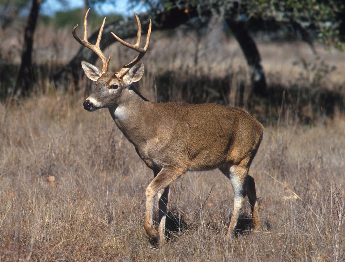 Big gameWhitetail DeerOdocoileus virginianus
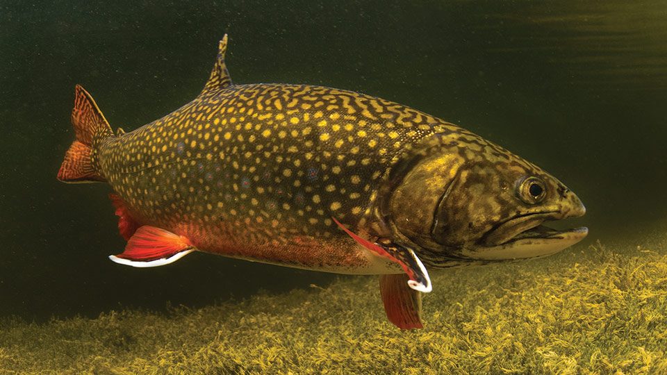 GamefishBrook TroutSalvelinus fontinalis
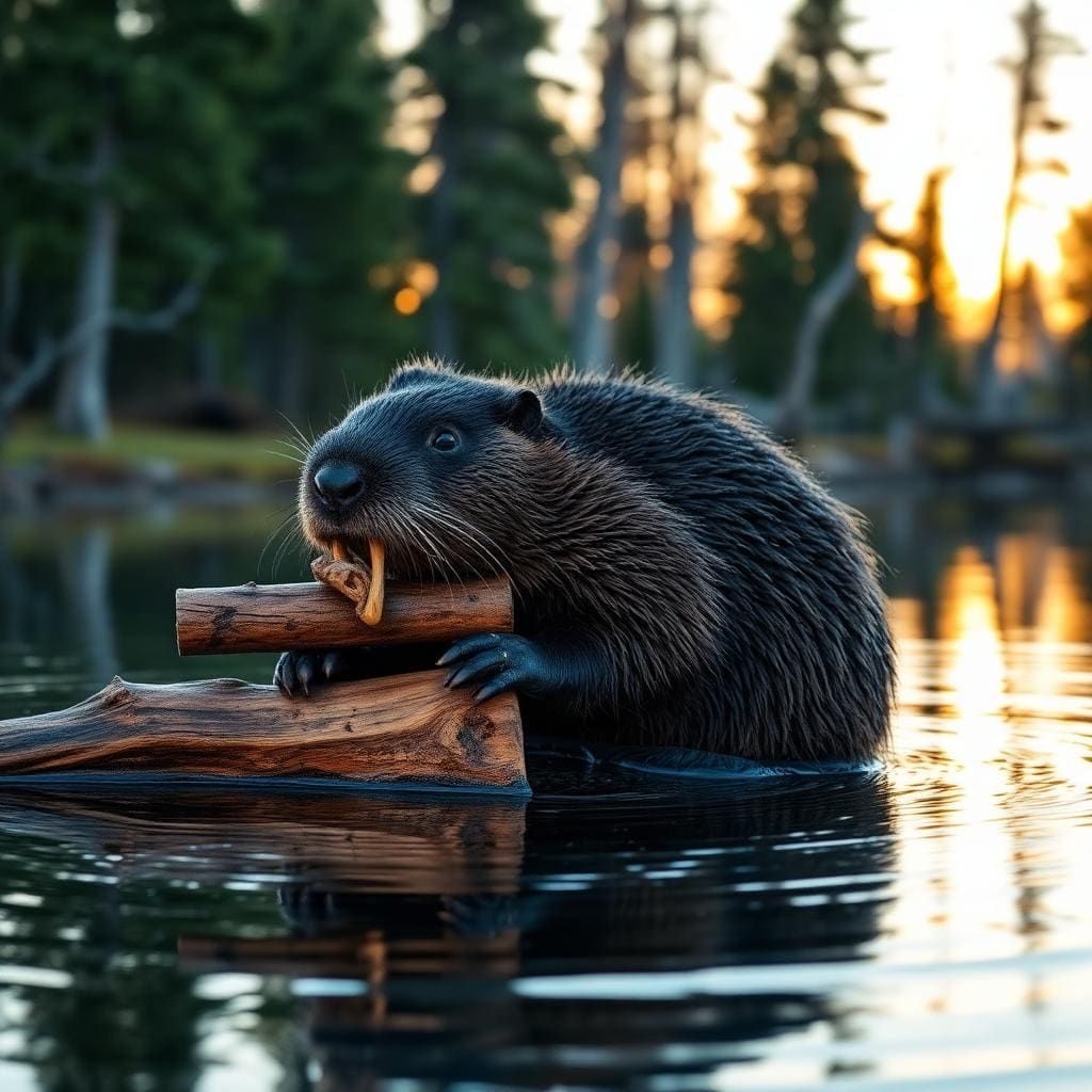 Wildlife guideNorth American beaverCastor canadensis
 Big gameBlack BearUrsus americanus
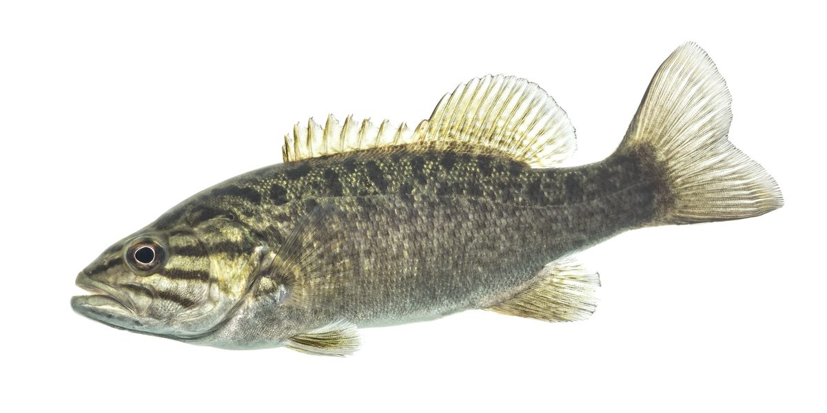 GamefishSmallmouth BassMicropterus dolomieu
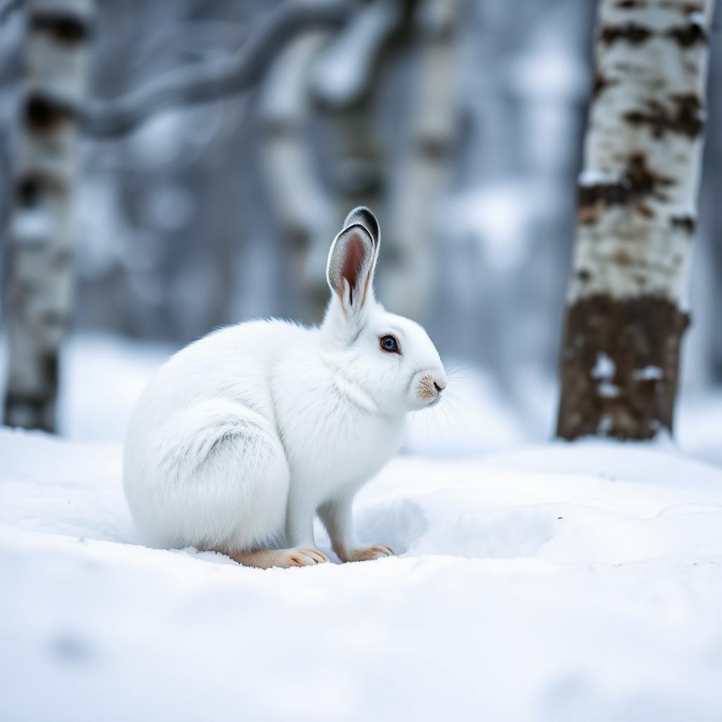 Wildlife guideSnowshoe hareLepus americanus
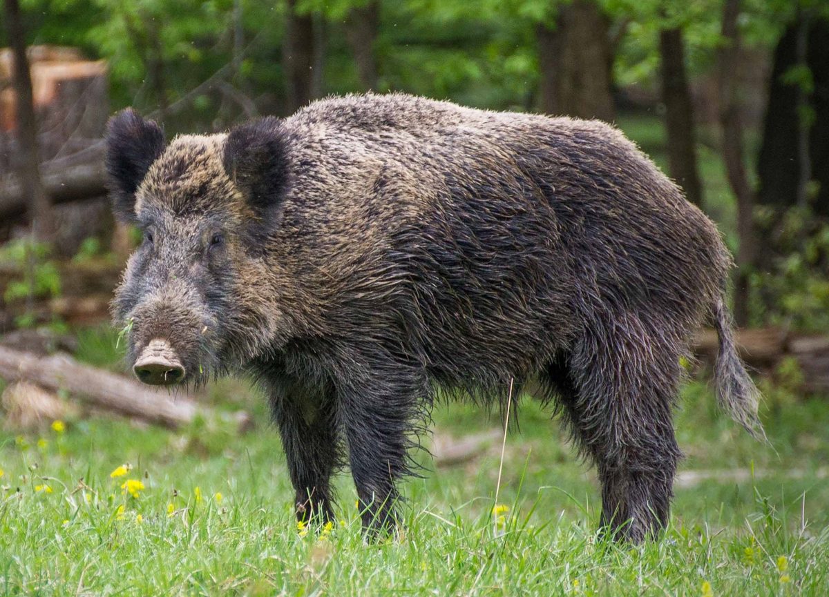 Big gameWild HogSus scrofa
Old-growth forest and lake country
Sylvania Wilderness sits a few miles west of Watersmeet Township in Michigan’s western Upper Peninsula, entirely within Ottawa National Forest. Its 18,327 acres contain 34 named lakes and rolling hills covered with old-growth forest. White and red pines share the woods with hemlocks, yellow birches, basswoods, and sugar maples; some trees are as much as 400 years old. Some lakes have sandy beaches, while others are bordered by large pines. The landscape lies on the divide between the Lake Superior and Mississippi River drainages, with many lakes fed by springs and precipitation rather than connecting streams. That combination makes Sylvania a destination for both forest walking and non-motorized lake travel. Hiking, canoeing, kayaking, fishing, and wildlife watching are the main reasons to visit. Choose a trip around time in the woods or on the water rather than expecting a single developed attraction.
Choosing a day trip or overnight stay
A day hike offers a straightforward way to experience Sylvania’s large trees without organizing a backcountry camp. The trail system passes through old-growth forest and provides access to wilderness campsites. Canoes and kayaks offer another approach, with overnight sites reached by water or on foot. The 50 designated backcountry campsites are spread along eight lakes, not grouped into one campground. Each has a fire ring and wilderness latrine, and camping is allowed only at designated sites. The maximum is six people per campsite. For a drive-in base outside the wilderness, Sylvania Clark Lake Campground has 48 campsites, a pressurized water system, flush toilets, and a picnic area. Its road system provides access to wilderness entry points. The day-use building’s showers are closed pending repairs, so do not count on them when planning a stay.
Permits, reservations, and trip preparation
All visitors entering the wilderness need a permit, available from the Entrance Station, and must register before entering. Backcountry campsite reservations are required from May 15 through September 30 through Recreation.gov or by calling 1-877-444-6777. Reservations open six months ahead for 37 sites and two weeks ahead for the remaining 13; same-day reservations are available for unbooked sites during that season. The reservation fee is $8 online or $9 through the call center. From October 1 through May 14, camping is first come, first served. The Entrance Station is open Tuesday through Sunday, 9:00 a.m. to 5:00 p.m. CST, and closed Mondays. Reservation holders checking in during open hours must watch the wilderness permit video. Carry a topographic map and compass, drinking water, food, first-aid supplies, a light, sturdy footwear, warm layers, and insect repellent. Check current conditions and additional wilderness rules before setting out.
Seasons, wildlife, and low-impact travel
June through August is the recommended season, with summer suited to paddling, swimming, hiking, and fishing. Winter skiing offers another way to travel through the forest, but requires preparation for cold conditions and navigation away from developed facilities. Sylvania supports loons, bald eagles, osprey, and woodland birds, along with otters, beavers, deer, bears, and other mammals. Watch from a distance, keep food secured, and give animals room along shorelines and around camp. Rare orchids are part of the forest’s plant life; leave flowers and other natural features undisturbed. Fishing is subject to Sylvania’s special regulations, so confirm the current rules before packing tackle. Fires are allowed only in designated fire rings. Pack out rubbish and use the provided wilderness latrines at campsites. Plan a manageable outing rather than assuming lake travel or a forest trail will be effortless.
Route options
- Old-growth forest day hike
Use the major trailhead at Sylvania Recreation Area to explore the wilderness trail system through old-growth trees. Select the specific trail and turnaround using the wilderness map.
- Paddle-in backcountry camp
Plan a canoe or kayak outing to a designated lakeside campsite. Backcountry sites are distributed along eight lakes; match your water access and travel plan to your reserved site.
- Walk-in backcountry camp
Follow the forest trail system to a designated walk-in wilderness campsite. Confirm the trail connection to the selected campsite on the wilderness map before booking and departure.
Sample itineraries
- Old-growth forest day hike · 1 day
Use the major trailhead at Sylvania Recreation Area for a day on the wilderness trail system. Carry a topographic map and choose an out-and-back through old-growth pines, hemlocks and hardwoods. Obtain the required wilderness permit before entering.
- Lakeside canoe camp · 3 days
Paddle to a designated lakeside campsite, making the required reservation for your travel dates. Spend the middle day exploring by non-motorized boat, watching for loons and osprey, or fishing under Sylvania’s special regulations. Return on the third day; choose your lake and access using the wilderness map.
- Walk-in forest overnight · 2 days
Select a designated campsite reachable by trail and confirm its access on the wilderness map. Hike in through the old-growth forest, camp beside a lake, and walk out the next day. Expect primitive facilities: a fire ring and wilderness latrine, rather than a developed campground.
Seasonal conditions
Spring
Spring
Plan conservatively around cold lake water and changing weather. Carry warm layers and waterproof protection, and check current trail and lake conditions before choosing a paddle-in or walk-in trip.
Summer
June–August
The best season for visiting, with canoeing, kayaking, swimming, fishing and forest hiking among the options. Bring insect repellent, sun protection and drinking water. Backcountry campsites require reservations during this period.
Fall
Fall
Prepare for cooler outings with warm clothing and a conservative paddling plan. Check current conditions before departure. The campsite reservation requirement ends September 30; camping becomes first come, first served October 1.
Winter
Winter
Skiing is an option in the forest, and ice fishing is subject to Sylvania’s special fishing regulations. Carry cold-weather clothing and emergency equipment. Do not assume lake ice is safe; verify conditions before considering travel onto it.
| Season | Window | Conditions |
|---|---|---|
| Spring | Spring | Plan conservatively around cold lake water and changing weather. Carry warm layers and waterproof protection, and check current trail and lake conditions before choosing a paddle-in or walk-in trip. |
| Summer | June–August | The best season for visiting, with canoeing, kayaking, swimming, fishing and forest hiking among the options. Bring insect repellent, sun protection and drinking water. Backcountry campsites require reservations during this period. |
| Fall | Fall | Prepare for cooler outings with warm clothing and a conservative paddling plan. Check current conditions before departure. The campsite reservation requirement ends September 30; camping becomes first come, first served October 1. |
| Winter | Winter | Skiing is an option in the forest, and ice fishing is subject to Sylvania’s special fishing regulations. Carry cold-weather clothing and emergency equipment. Do not assume lake ice is safe; verify conditions before considering travel onto it. |
Permits, fees & closures
All wilderness visitors need a permit from the Entrance Station and must register before entering. Camping is restricted to designated sites, with a maximum of six people per campsite. Fires are allowed only in designated fire rings.
Fees: Campsite reservation fees are $8 online or $9 through the call center.
Reservations: Reserve through Recreation.gov May 15–September 30; same-day reservations are available for unbooked sites. Of 50 sites, 37 open six months ahead and 13 open two weeks ahead. Camping is first come, first served October 1–May 14.
Official source: Ottawa National Forest | Sylvania Wilderness Backcountry Camping · Verified November 4, 2026
Hazards & regulations
- Cold water and changing weather warrant conservative paddling decisions. Wear a personal flotation device and keep spare clothing dry.
- Primitive, paddle-in or walk-in camps require self-sufficiency. Carry navigation tools, first aid supplies and emergency equipment.
- Bears, raccoons and other wildlife inhabit the forest. Secure food and scented items, and keep a clean camp.
- Insects and sun exposure call for repellent, protective clothing, sunglasses and sunscreen.
- Winter lake travel requires caution: verify ice conditions rather than treating a frozen surface as a safe route.
What to pack for Sylvania Wilderness
- Sylvania Wilderness map, topographic map and compass
- First aid kit and whistle
- Flashlight and pocketknife
- Waterproof matches or lighter
- Sturdy boots
- Warm jacket and extra clothing
- Waterproof outer layer
- Sunglasses, sunscreen and insect repellent
- Drinking water and a water-treatment method
- High-energy food
- Food storage suitable for wildlife country
- Toilet paper and garbage bags
- Shelter and season-appropriate sleeping gear
- Canoe or kayak and paddle
- Personal flotation device
- Waterproof bags for clothing and essential gear
Sylvania Wilderness FAQ
- Where is Sylvania Wilderness?
- Sylvania lies within Ottawa National Forest in Michigan’s western Upper Peninsula, a few miles west of Watersmeet Township. Its 34 named lakes sit among old-growth forest, including large red and white pines.
- Can you drive to a wilderness campsite?
- No. The 50 wilderness campsites are spread along eight lakes and are accessible only by paddling or walking. Sylvania Clark Lake Campground provides a separate drive-in option with 48 campsites.
- What facilities do backcountry campsites have?
- Each designated wilderness campsite has a campfire ring and wilderness latrine. These are individual primitive sites, not one centralized campground. Camping outside designated sites is not allowed.
- Are motorboats allowed?
- Sylvania’s lake recreation is non-motorized. Plan to use a canoe or kayak rather than a motorboat.
- What should anglers check before fishing?
- Sylvania has special fishing regulations. Confirm current rules with Ottawa National Forest before packing tackle or keeping fish. Fishing opportunities include shore fishing, non-motorized boat fishing, fly fishing and ice fishing.
- When is the Entrance Station open?
- The Entrance Station operates Tuesday–Sunday, 9:00 AM–5:00 PM CST, and is closed Mondays. It provides permits, rules and current conditions. Backcountry reservation holders checking in during open hours must watch the wilderness permit video.