



- Region
- MT, USA
- Country
- United States
- Best for
- hiking
- Best season
- Spring, Summer
- Permits
- Confirm current requirements with the Swan…
- Managed by
- U.S. Forest Service, Flathead National Forest, Swan Lake Ranger District
Plan with verified data
Mission Mountains Wilderness trip tools
Tools for a trip here
Picked for how, when and where you're going. Free, no signup.
Photos of Mission Mountains Wilderness
How to get there
Approach from Montana Highway 83, with wilderness access roads branching west from the highway. Kraft Creek Road serves Glacier Creek and Hemlock Creek trailheads. Cold Lakes and Crystal Lake trailheads provide additional access. The wilderness is approximately 80 miles north of Missoula and 65 miles southeast of Kalispell; these are regional location distances, not driving distances to individual trailheads. Confirm road and trail conditions with the Swan Lake Ranger District at (406) 837-7500.
- Glacier Creek Trailhead
An access point off Kraft Creek Road, reached west of Montana Highway 83.
- Hemlock Creek Trailhead
Another wilderness access point off Kraft Creek Road, west of Montana Highway 83.
- Cold Lakes Trailhead
A wilderness trailhead reached by access roads branching west from Montana Highway 83. Confirm the approach and current conditions before traveling.
- Crystal Lake Trailhead
An additional wilderness access option from the Highway 83 side. Check current road and trail conditions with the Swan Lake Ranger District.
Sources: fs.usda.gov · University of Montana / federal agency partners · Wilderness Connect / federal wilderness boundary inventory · Wikipedia. Confirm road and trailhead conditions with the managing agency before you leave.
MT, USA · United States
- Hunting
- Climbing
- Mountaineering
- Winter Camping
- Skiing
- Hiking
- Backpacking
- Wildlife Viewing
Alpine lakes and steep mountain country
Mission Mountains Wilderness lies within Montana’s Flathead National Forest, in the Swan Lake Ranger District. Designated in 1975, it protects a narrow mountain landscape of ragged peaks, small active glaciers, alpine lakes, meadows, and cold streams. Average elevation is about 7,000 feet, and snow remains on the peaks for much of the year. Vertical cliffs, slab-like boulders, and talus slopes make this more demanding country than its lake destinations alone might suggest. The northern portion is less severe and more heavily timbered, with forests that include pine, fir, larch, and western red cedar. The southern portion draws more visitors, especially around the alpine lakes. Summer wildflowers fill the high basins, but most lakes do not thaw until mid-June; that timing is not a guarantee of snow-free trails.
Choosing a hike and preparing for the terrain
About 45 miles of maintained trails serve the wilderness, used largely by backpackers. Few trails are easy, and many are very steep, so choose an outing by terrain and experience rather than by the appeal of a lake name. Glacier Lake is an easy hiking option suitable for families, while travel to Mollman Lakes calls for wilderness skills and route finding. Established trails reach the more popular lakes; travel beyond them requires stronger navigation and careful decisions around cliffs and talus. Carry navigation tools, layers for cold mountain conditions, and a way to treat water. Potable water is not available at the site. Before leaving, ask the Swan Lake Ranger District about current trail conditions, which can change quickly, and any emergency closures associated with wildfire.
Wildlife, low-impact travel, and neighboring lands
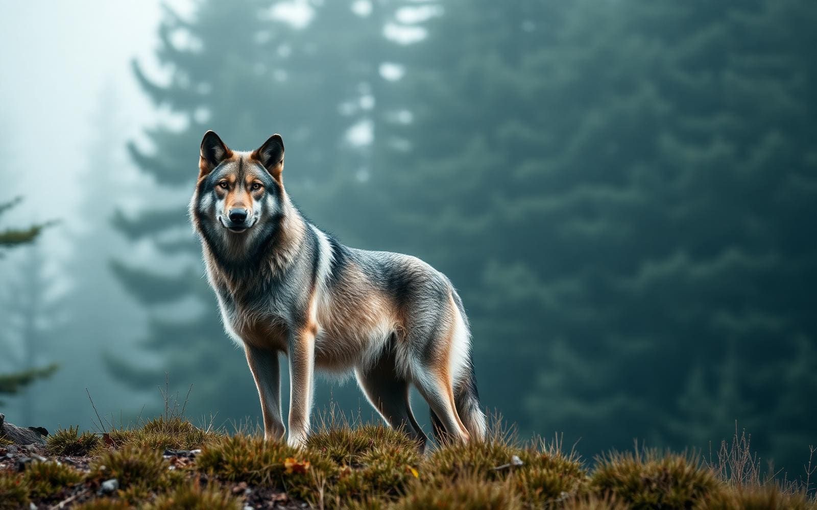
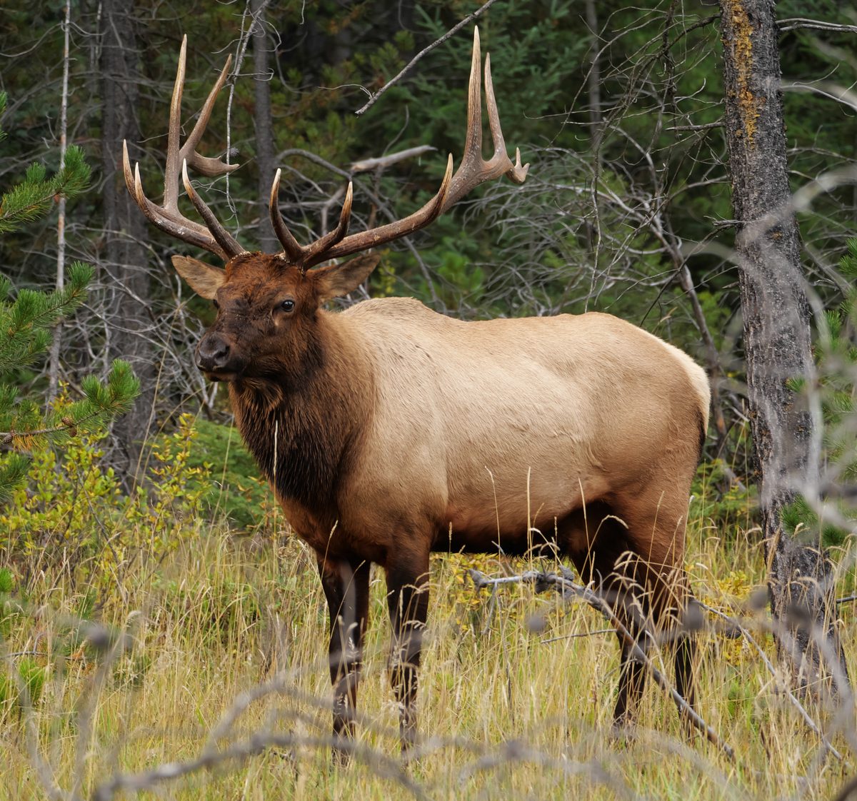
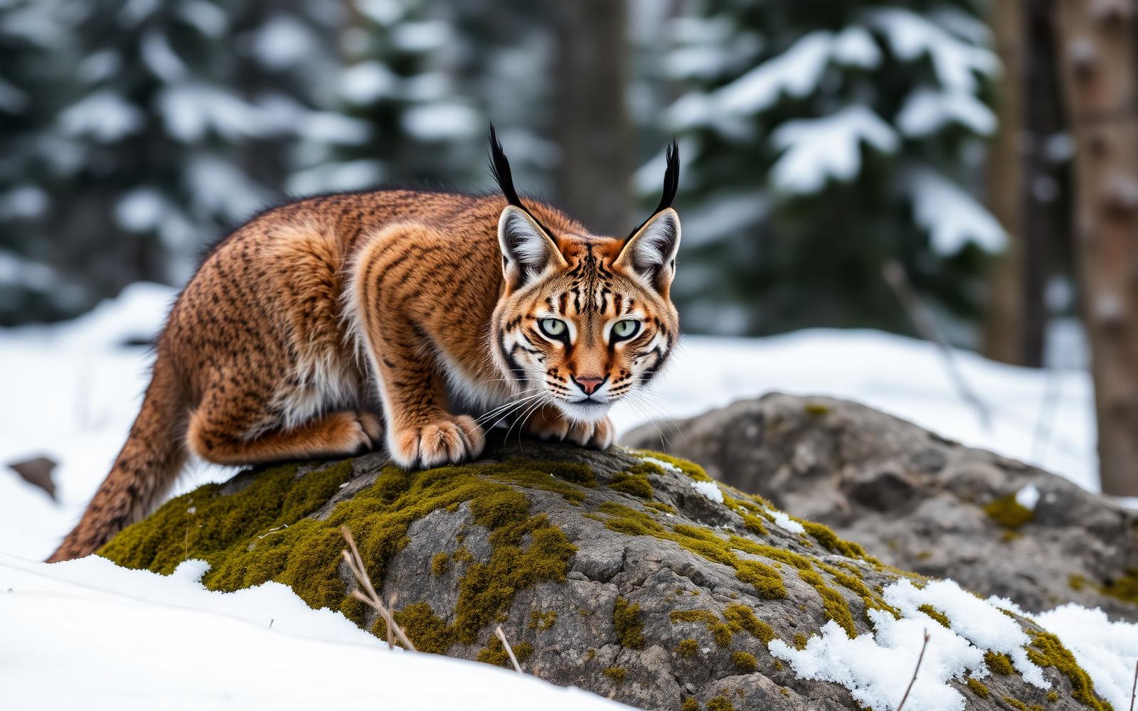
Black bears and grizzly bears share the Missions with elk, deer, mountain goats, mountain lions, and a few gray wolves. Plan food and wildlife-attractant storage before heading out, and confirm the current storage requirements with the Flathead National Forest. Keep wildlife wild by never feeding animals, packing out litter, and keeping food secure. The wilderness shares its western and southern boundaries with the Flathead Indian Reservation and borders the Mission Mountains Tribal Wilderness. Treat that boundary as a planning consideration rather than assuming access arrangements are the same on both sides. Confirm access and use requirements for the neighboring tribal wilderness at 406-675-2700. For the national forest wilderness, contact the Swan Lake Ranger District at (406) 837-7500 for current conditions and trip-planning guidance.
Where on earth
Satellite imagery flying in from a world view to Mission Mountains Wilderness, United States. Use the + / − buttons, or click the map to zoom with your scroll wheel; drag to pan and pinch to zoom on touch.
Coordinates
- Decimal degrees
- 47.4865, -113.8927
- Latitude (DMS)
- 47° 29′ 11.4″ N
- Longitude (DMS)
- 113° 53′ 33.8″ W
Coordinates are an access-point reference for Mission Mountains Wilderness, not a route. Carry a paper map and confirm trailhead or put-in access with the managing agency before you go.
Topic summary
The Mission Mountains are a land of ragged peaks with snow on them most of the year, small active glaciers, alpine lakes, meadows, clear streams that run icy cold, slab-like boulders, vertical cliff faces...
Key takeaways
- Region: MT, USA
- Country: United States
- Good for: hiking
- Coordinates: 47.486, -113.893
Intended uses
hiking
Keep planning
Popular pursuits at Mission Mountains Wilderness
- Hunting
Seasons, tags, and the units that hold animals.
- Climbing
Rock and alpine lines with approach beta.
- Mountaineering
Glacier and high-route objectives with real consequence.
- Winter Camping
Cold-season travel and camp craft; layering matters more than mileage.
- Skiing
Ski-touring access when the road closes for the season.
- Hiking
Day miles on marked trail, with route notes and trail links below.
Animals around Mission Mountains Wilderness
Alpine lakes and steep mountain country
Mission Mountains Wilderness lies within Montana’s Flathead National Forest, in the Swan Lake Ranger District. Designated in 1975, it protects a narrow mountain landscape of ragged peaks, small active glaciers, alpine lakes, meadows, and cold streams. Average elevation is about 7,000 feet, and snow remains on the peaks for much of the year. Vertical cliffs, slab-like boulders, and talus slopes make this more demanding country than its lake destinations alone might suggest. The northern portion is less severe and more heavily timbered, with forests that include pine, fir, larch, and western red cedar. The southern portion draws more visitors, especially around the alpine lakes. Summer wildflowers fill the high basins, but most lakes do not thaw until mid-June; that timing is not a guarantee of snow-free trails.
Choosing a hike and preparing for the terrain
About 45 miles of maintained trails serve the wilderness, used largely by backpackers. Few trails are easy, and many are very steep, so choose an outing by terrain and experience rather than by the appeal of a lake name. Glacier Lake is an easy hiking option suitable for families, while travel to Mollman Lakes calls for wilderness skills and route finding. Established trails reach the more popular lakes; travel beyond them requires stronger navigation and careful decisions around cliffs and talus. Carry navigation tools, layers for cold mountain conditions, and a way to treat water. Potable water is not available at the site. Before leaving, ask the Swan Lake Ranger District about current trail conditions, which can change quickly, and any emergency closures associated with wildfire.
Wildlife, low-impact travel, and neighboring lands
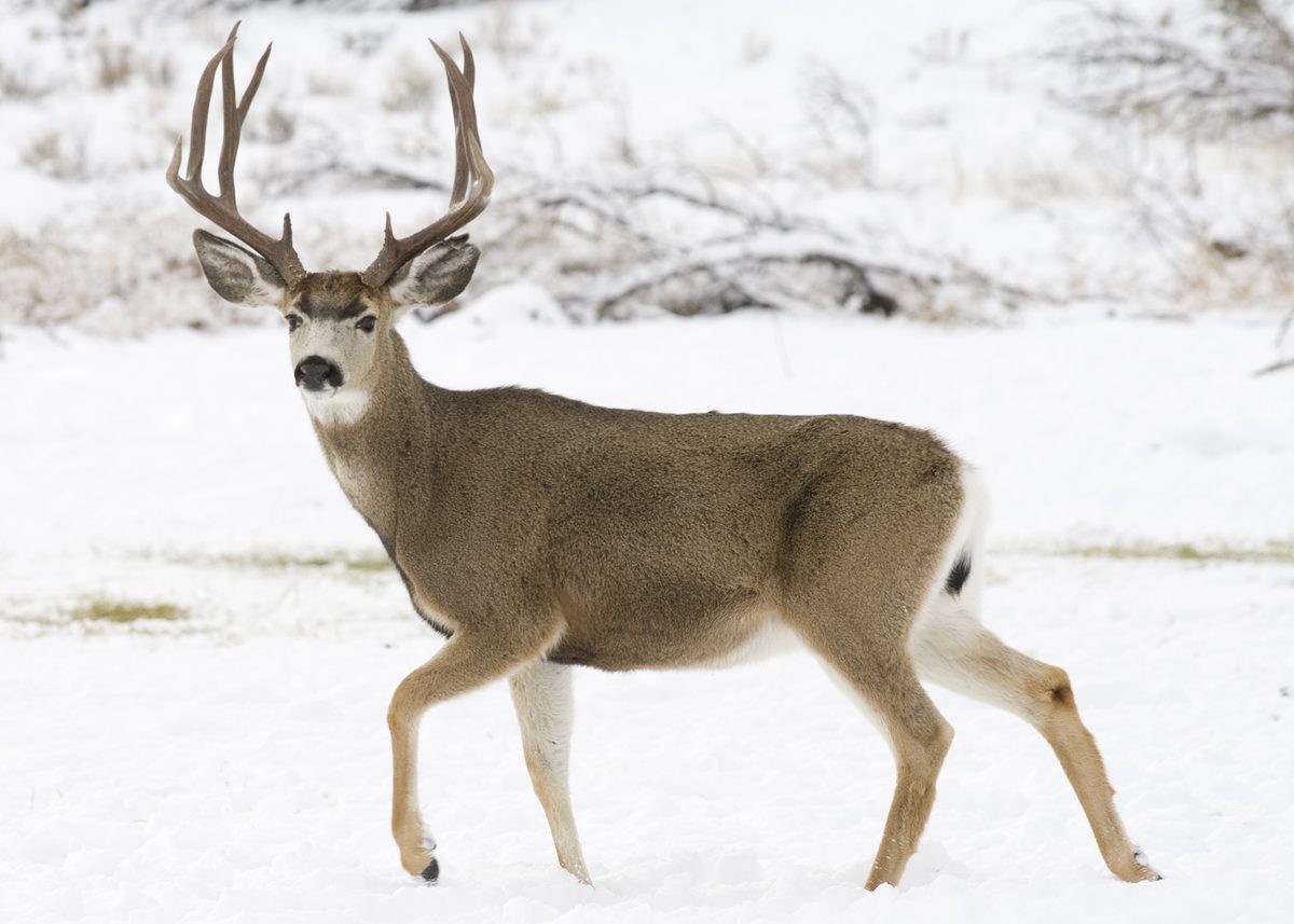
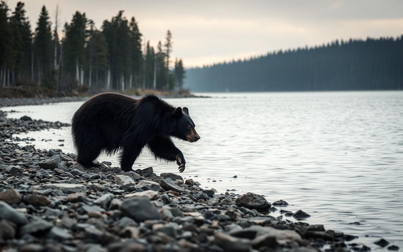
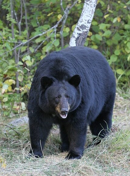
Black bears and grizzly bears share the Missions with elk, deer, mountain goats, mountain lions, and a few gray wolves. Plan food and wildlife-attractant storage before heading out, and confirm the current storage requirements with the Flathead National Forest. Keep wildlife wild by never feeding animals, packing out litter, and keeping food secure. The wilderness shares its western and southern boundaries with the Flathead Indian Reservation and borders the Mission Mountains Tribal Wilderness. Treat that boundary as a planning consideration rather than assuming access arrangements are the same on both sides. Confirm access and use requirements for the neighboring tribal wilderness at 406-675-2700. For the national forest wilderness, contact the Swan Lake Ranger District at (406) 837-7500 for current conditions and trip-planning guidance.
Route options
- Glacier Lake hikeEasy
A family-friendly lake outing and an easier choice than many hikes in this steep wilderness. Check current trail conditions before setting out.
- Mollman Lakes wilderness travelChallenging; wilderness skills and route finding required
A more demanding option for travelers prepared to use wilderness navigation and route-finding skills. Plan the route carefully rather than assuming a straightforward maintained trail throughout.
Sample itineraries
- Glacier Lake day hike · 1 day
Choose Glacier Lake for an easier introduction to the wilderness and a family hiking option. Reach Glacier Creek Trailhead via Kraft Creek Road, west of Highway 83. Check trail conditions before leaving; do not plan overnight camping at Glacier Lake.
- Mollman Lakes wilderness-skills trip · 2 days
Plan a backpacking trip toward Mollman Lakes if comfortable with wilderness navigation and steep terrain. Treat two days as a planning outline, not a guaranteed travel time. Confirm the approach, current conditions, and allowable camping locations with the Swan Lake Ranger District before committing.
Seasonal conditions
Spring
Before the alpine lakes thaw
Snow remains on the peaks much of the year, and most alpine lakes do not thaw until mid-June. Do not assume spring access means snow-free hiking. Check conditions for the intended trail.
Summer
Lake thaw and high-basin wildflower season
High basins support summer wildflowers, while alpine lakes draw visitors, especially in the southern portion. Snow can remain on peaks, and streams run icy cold. Trail conditions can change quickly; wildfire emergencies may affect access.
Fall
As mountain temperatures drop
Plan conservatively around cold conditions in terrain averaging 7,000 feet in elevation. Snow persists on peaks much of the year. Carry insulation and verify trail conditions rather than assuming summer access continues.
Winter
Snow-covered mountain conditions
Steep trails, talus, and cliffs make snow-covered travel demanding. Winter travel requires snow-terrain judgment beyond ordinary hiking skills. Check mountain conditions and avalanche information before choosing an objective.
| Season | Window | Conditions |
|---|---|---|
| Spring | Before the alpine lakes thaw | Snow remains on the peaks much of the year, and most alpine lakes do not thaw until mid-June. Do not assume spring access means snow-free hiking. Check conditions for the intended trail. |
| Summer | Lake thaw and high-basin wildflower season | High basins support summer wildflowers, while alpine lakes draw visitors, especially in the southern portion. Snow can remain on peaks, and streams run icy cold. Trail conditions can change quickly; wildfire emergencies may affect access. |
| Fall | As mountain temperatures drop | Plan conservatively around cold conditions in terrain averaging 7,000 feet in elevation. Snow persists on peaks much of the year. Carry insulation and verify trail conditions rather than assuming summer access continues. |
| Winter | Snow-covered mountain conditions | Steep trails, talus, and cliffs make snow-covered travel demanding. Winter travel requires snow-terrain judgment beyond ordinary hiking skills. Check mountain conditions and avalanche information before choosing an objective. |
Permits, fees & closures
Confirm current requirements with the Swan Lake Ranger District at (406) 837-7500. For access and use of the adjoining Salish-Kootenai tribal wilderness, call 406-675-2700.
Official source: Flathead National Forest | Mission Mountains Wilderness · Verified November 9, 2026
Hazards & regulations
- Many trails are very steep. Talus slopes, slab-like boulders, and vertical cliffs demand careful footing and conservative route choices.
- Peaks hold snow much of the year, small active glaciers are present, and most alpine lakes remain frozen until mid-June.
- Black bears and grizzly bears inhabit the wilderness. Avoid feeding wildlife and confirm current food and attractant storage requirements.
- Travel beyond popular lake trails can require wilderness route-finding skills; Mollman Lakes is a more demanding objective.
- Trail conditions can change quickly, and wildfire emergencies may cause closures. Check current conditions before departure.
- Streams are icy cold, and potable water is not provided. Carry drinking water and a treatment method.
What to pack for Mission Mountains Wilderness
- Topographic map showing trails and the tribal wilderness boundary
- Compass or offline navigation with backup power
- Current trail and access information
- Insulating layers and waterproof shell
- Footwear suitable for steep, rocky trails
- Trekking poles
- Headlamp and emergency shelter
- Drinking water and water-treatment supplies
- Food-storage equipment meeting current agency requirements
- Bear spray carried within reach
- Bags for packing out litter
Mission Mountains Wilderness FAQ
- Where is the wilderness, and who manages it?
- Mission Mountains Wilderness lies in Montana within the Swan Lake Ranger District of Flathead National Forest. Its western and southern boundaries adjoin the Flathead Indian Reservation; the neighboring tribal wilderness has separate access and use requirements.
- How do you reach the trailheads?
- Access roads leave Highway 83 to the west. Glacier Creek and Hemlock Creek trailheads are reached from Kraft Creek Road. Cold Lakes and Crystal Lake are other named trailhead options. Confirm road and trail conditions with the ranger district.
- Is this a good place for beginner hikers?
- Glacier Lake offers an easier family hiking option, but few trails overall are easy, and many are very steep. The northern portion is less severe and more heavily timbered. Match the specific route to the group's navigation skills and fitness.
- Can you camp at the popular lakes?
- There is no overnight camping at Glacier Lake or Upper or Lower Cold Lakes. For other destinations, confirm allowable camping locations and current restrictions with the Swan Lake Ranger District before planning an overnight trip.
- Are drinking water and restrooms available?
- Potable water is not available at the site. Bring drinking water and treat water collected from natural sources. Restroom availability is not established, so confirm trailhead facilities before departure.
- Are bicycles or motorized vehicles allowed?
- Motorized and mechanized vehicles, including bicycles, are not allowed in the wilderness. Plan to explore on foot; the steep terrain is generally unsuitable for horses.