



- Region
- WY, USA
- Country
- United States
- Best for
- hiking
- Best season
- Spring, Summer
- Permits
- Confirm permit requirements with Shoshone …
- Managed by
- U.S. Forest Service, Shoshone National Forest
Plan with verified data
North Absaroka Wilderness trip tools
Tools for a trip here
Picked for how, when and where you're going. Free, no signup.
Photos of North Absaroka Wilderness
How to get there
Pahaska Campground is the identified, easily accessible starting point. From there, a trail heads north along Crow Creek and connects with other trails. Obtain Shoshone National Forest topographic maps and confirm approach conditions before departure; the wilderness’s proximity to Yellowstone does not imply road access through its interior.
- Pahaska Campground
An accessible starting point for the trail heading north along Crow Creek into the wilderness trail network.
- Crow Creek trail corridor
The onward access corridor from Pahaska Campground, not a separate road-access trailhead. The trail follows Crow Creek north to connections with other trails.
Sources: fs.usda.gov · University of Montana / federal agency partners · Wilderness Connect / federal wilderness boundary inventory · Wikipedia. Confirm road and trailhead conditions with the managing agency before you leave.
WY, USA · United States
- Fishing
- Hunting
- Mountaineering
- Hiking
- Backpacking
- Wildlife Viewing
Volcanic mountains on Yellowstone’s eastern edge
North Absaroka Wilderness occupies rugged country in Wyoming’s Shoshone National Forest, alongside Yellowstone National Park’s eastern boundary and the Montana border. Designated in 1964, it encompasses 350,488 acres of volcanic mountains cut by creeks and deep drainages. Several summits exceed 10,000 feet; Dead Indian Peak reaches 12,216 feet. Much of the terrain is nearly inaccessible, so a trip here is better built around a carefully chosen trail corridor than an ambitious cross-country itinerary. Lakes are scarce, while streams support cutthroat, brown, brook, and rainbow trout. Marmots and pikas inhabit the talus slopes. Backpacking, day hiking, and horseback riding are available, but the landscape demands self-reliance: easy access to the wilderness edge does not translate into easy travel beyond it.
Rough trails and fast-changing drainages
About 200 miles of trails cross the wilderness, but they are generally rough, minimally marked, long, steep, and narrow. Washouts, fallen trees, and loose rock can slow progress, and the risk of becoming lost or injured is substantial. Carry topographic mapping and know how to navigate without relying on trail signs. Trails commonly follow drainages, with few opportunities to move between them except near the headwaters. Relatively dry summers do not remove the water hazard: rainstorms can send rapid runoff and eroded material into creeks, producing muddy torrents, flash floods, and fast-flowing high water. Keep plans flexible around storms and crossings. Some trails also lead far from water, and potable water is unavailable, so plan both carrying capacity and treatment rather than assuming a creek will always be nearby.
Bear country, campsites, and seasonal use
Grizzly bears live throughout this region, making bear-country preparation a core part of trip planning. Learn appropriate encounter behavior and confirm current food and attractant storage requirements with Shoshone National Forest before departure. Desirable campsites are limited, and some have suffered from overuse; leave room in the itinerary to choose a suitable existing site without enlarging its footprint. Follow Leave No Trace practices and applicable wilderness regulations. Visitor numbers are generally low before hunting season, when hunters arrive for bighorn sheep, elk, and moose. Account for that change in use when planning a trip. Summer flies and gnats can be bothersome even though mosquitoes are generally less common. Pack insect protection, navigation tools, water treatment, and equipment suited to rough trails and changing mountain weather.
Where on earth
Satellite imagery flying in from a world view to North Absaroka Wilderness, United States. Use the + / − buttons, or click the map to zoom with your scroll wheel; drag to pan and pinch to zoom on touch.
Coordinates
- Decimal degrees
- 44.7364, -109.7414
- Latitude (DMS)
- 44° 44′ 11.1″ N
- Longitude (DMS)
- 109° 44′ 29.1″ W
Coordinates are an access-point reference for North Absaroka Wilderness, not a route. Carry a paper map and confirm trailhead or put-in access with the managing agency before you go.
Topic summary
Yellowstone National Park lies along the western boundary of North Absaroka Wilderness, which also shares a border with Montana and contains one of the areas least desecrated by humanity's insatiable thirst...
Key takeaways
- Region: WY, USA
- Country: United States
- Good for: hiking
- Coordinates: 44.736, -109.741
Intended uses
hiking
Keep planning
Popular pursuits at North Absaroka Wilderness
- Fishing
Resident gamefish, seasons, and the water that holds them.
- Hunting
Seasons, tags, and the units that hold animals.
- Mountaineering
Glacier and high-route objectives with real consequence.
- Hiking
Day miles on marked trail, with route notes and trail links below.
- Backpacking
Multi-day travel with everything on your back — see the packing blocks below.
- Wildlife Viewing
Best light, best season, and where animals move.
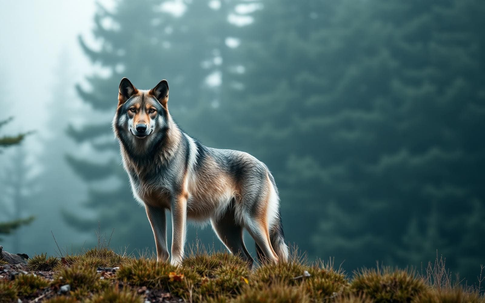
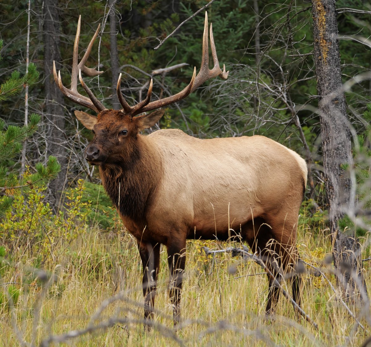
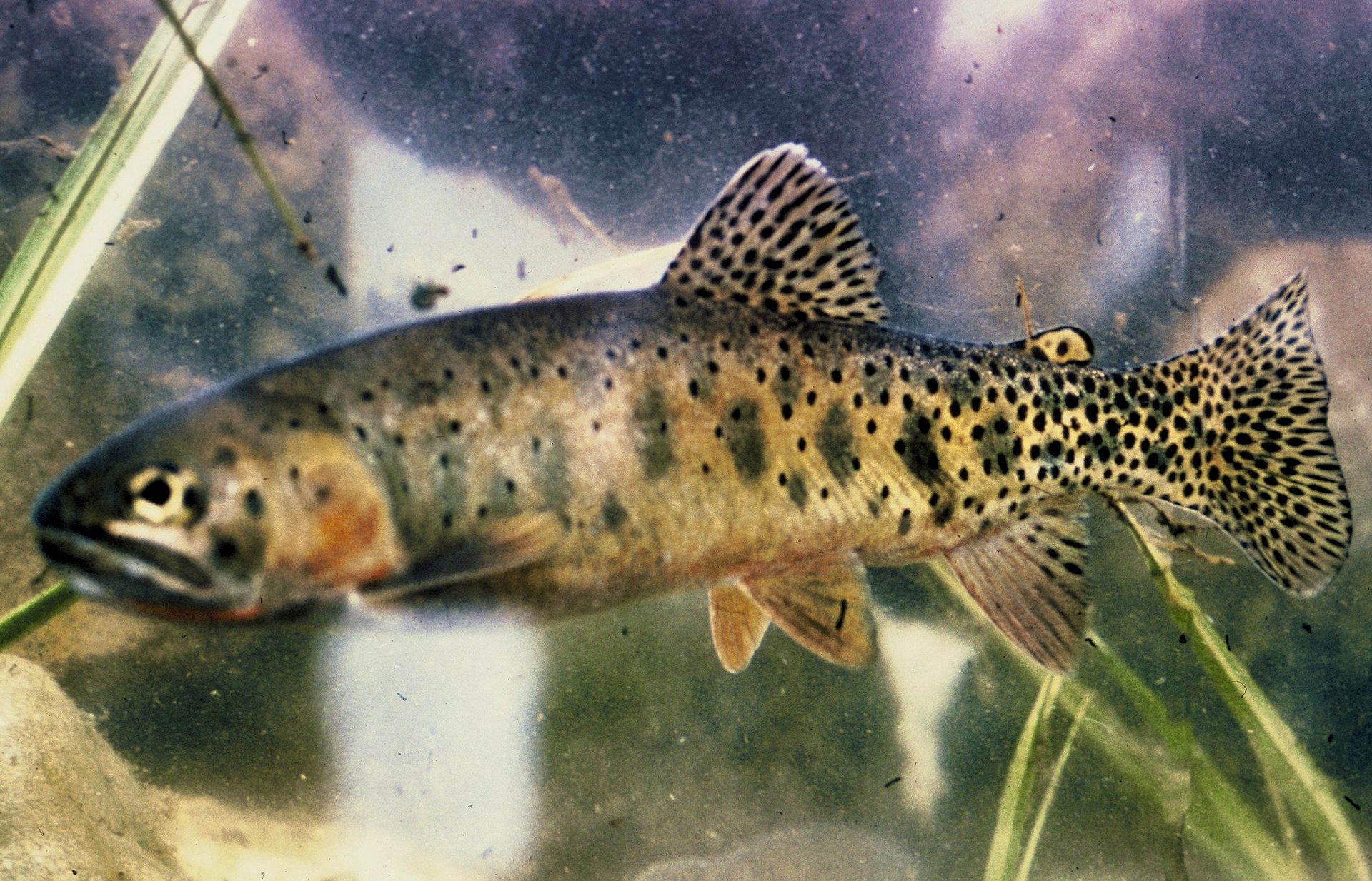
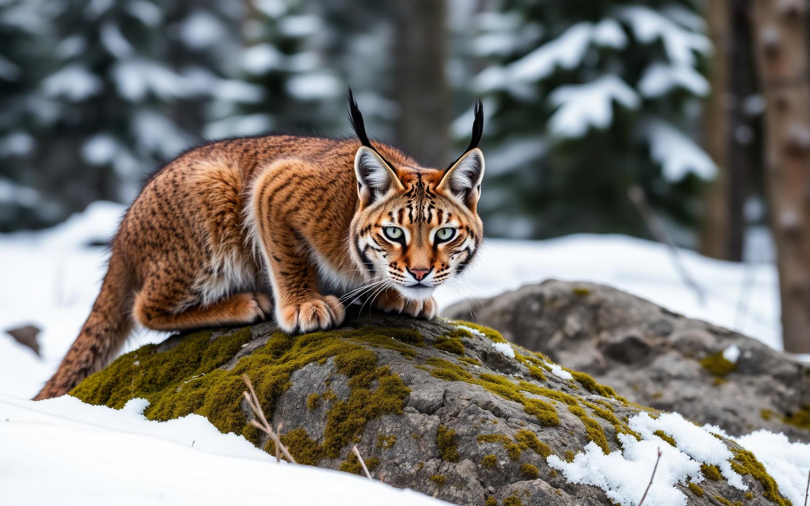
Animals around North Absaroka Wilderness
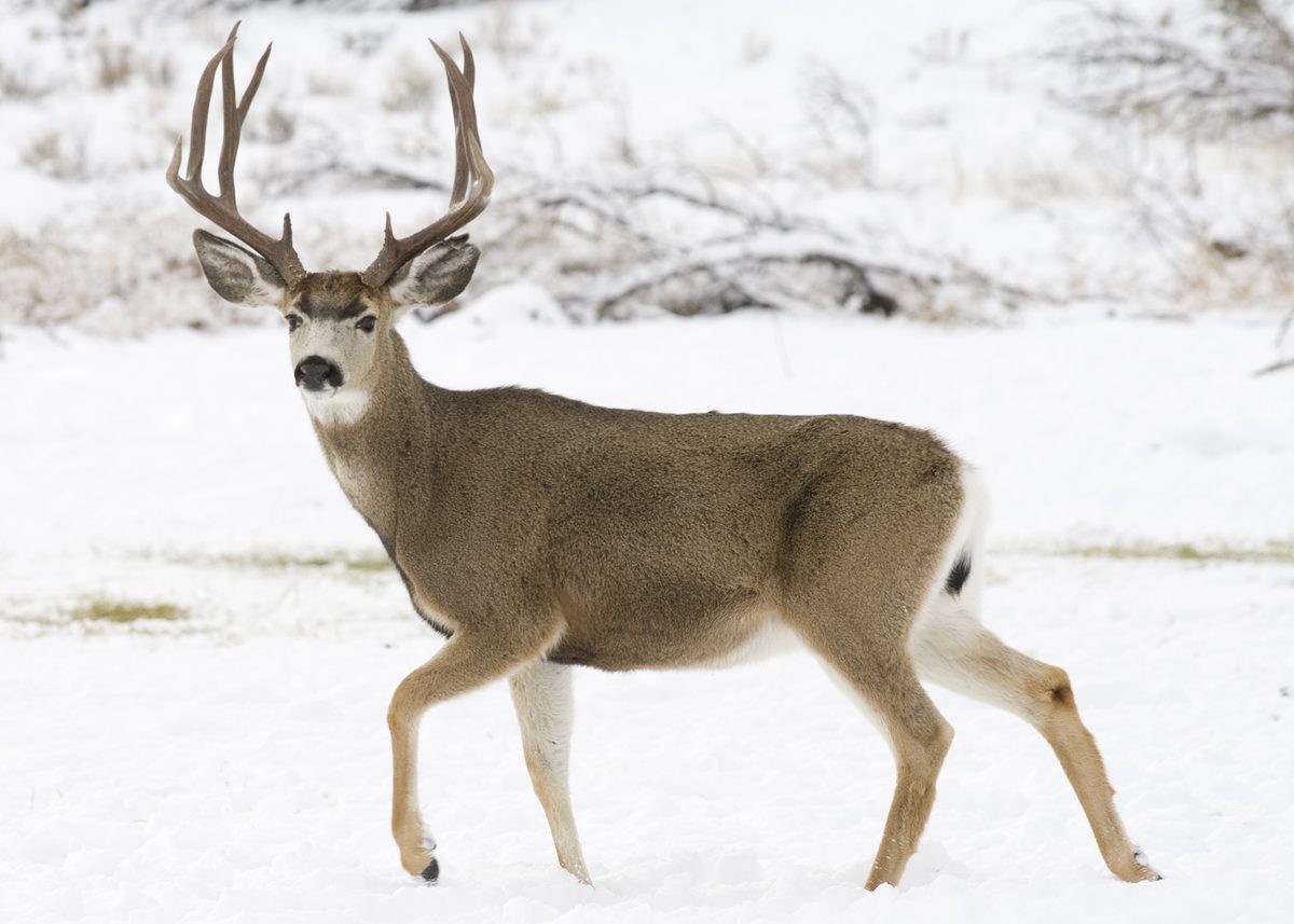
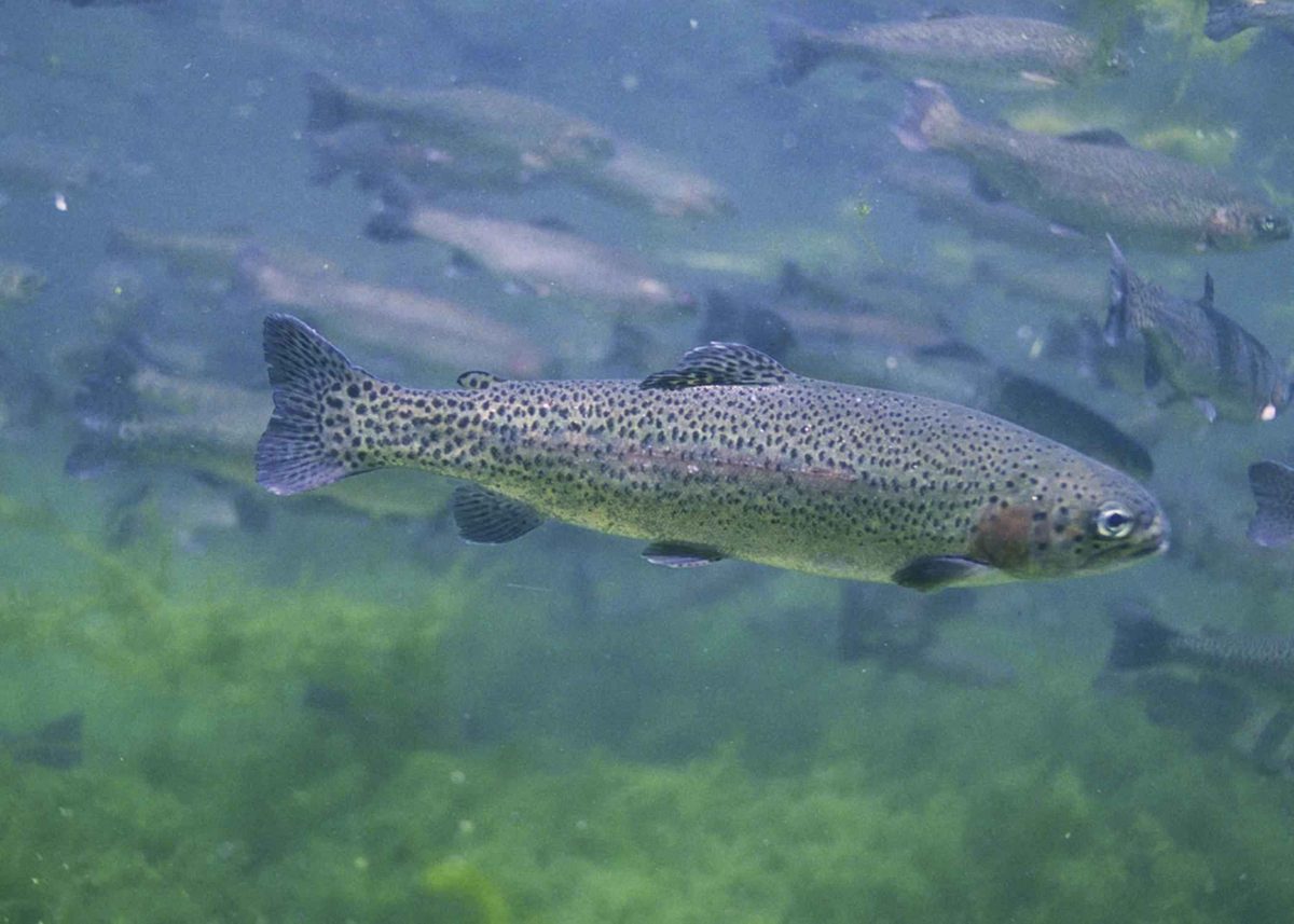

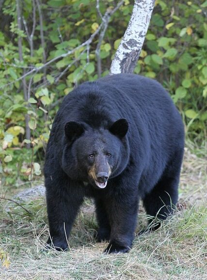
Volcanic mountains on Yellowstone’s eastern edge
North Absaroka Wilderness occupies rugged country in Wyoming’s Shoshone National Forest, alongside Yellowstone National Park’s eastern boundary and the Montana border. Designated in 1964, it encompasses 350,488 acres of volcanic mountains cut by creeks and deep drainages. Several summits exceed 10,000 feet; Dead Indian Peak reaches 12,216 feet. Much of the terrain is nearly inaccessible, so a trip here is better built around a carefully chosen trail corridor than an ambitious cross-country itinerary. Lakes are scarce, while streams support cutthroat, brown, brook, and rainbow trout. Marmots and pikas inhabit the talus slopes. Backpacking, day hiking, and horseback riding are available, but the landscape demands self-reliance: easy access to the wilderness edge does not translate into easy travel beyond it.
Rough trails and fast-changing drainages
About 200 miles of trails cross the wilderness, but they are generally rough, minimally marked, long, steep, and narrow. Washouts, fallen trees, and loose rock can slow progress, and the risk of becoming lost or injured is substantial. Carry topographic mapping and know how to navigate without relying on trail signs. Trails commonly follow drainages, with few opportunities to move between them except near the headwaters. Relatively dry summers do not remove the water hazard: rainstorms can send rapid runoff and eroded material into creeks, producing muddy torrents, flash floods, and fast-flowing high water. Keep plans flexible around storms and crossings. Some trails also lead far from water, and potable water is unavailable, so plan both carrying capacity and treatment rather than assuming a creek will always be nearby.
Bear country, campsites, and seasonal use
Grizzly bears live throughout this region, making bear-country preparation a core part of trip planning. Learn appropriate encounter behavior and confirm current food and attractant storage requirements with Shoshone National Forest before departure. Desirable campsites are limited, and some have suffered from overuse; leave room in the itinerary to choose a suitable existing site without enlarging its footprint. Follow Leave No Trace practices and applicable wilderness regulations. Visitor numbers are generally low before hunting season, when hunters arrive for bighorn sheep, elk, and moose. Account for that change in use when planning a trip. Summer flies and gnats can be bothersome even though mosquitoes are generally less common. Pack insect protection, navigation tools, water treatment, and equipment suited to rough trails and changing mountain weather.
Route options
- Crow Creek out-and-back from PahaskaRough wilderness travel; trails in the area are generally steep, narrow, and minimally marked.
Use the northbound trail along Crow Creek for a self-selected out-and-back, turning around according to conditions, navigation confidence, and available daylight. An accessible starting point should not be mistaken for a promise of easy trail conditions.
- Crow Creek to connecting trailsDemanding; requires independent navigation and preparation for rough trails.
For a longer backpacking plan, follow Crow Creek north from Pahaska to the connecting trail network. Select the onward itinerary using topographic maps and current agency information. Plan carefully for limited campsites, drainage-constrained travel, and sections that may run far from water.
Sample itineraries
- Crow Creek day hike · 1 day
Start at Pahaska Campground and follow the trail north along Crow Creek. Make this an out-and-back with a turnaround based on navigation, footing, weather, and water conditions. Expect rough, minimally marked trail rather than an easy campground walk.
- Crow Creek overnight exploration · 2 days
Follow Crow Creek north from Pahaska Campground toward connecting trails, then return the same way the next day. Confirm trail conditions and camping regulations before departure. Set the overnight destination using topographic maps, water availability, and suitable low-impact camping options; desirable campsites are limited.
Seasonal conditions
Spring
Confirm local conditions before departure
Do not assume mountain trails are ready for travel. Ask Shoshone National Forest about access, footing, and creek conditions. Long, steep routes and limited crossings leave little room for improvisation when conditions are unfavorable.
Summer
Relatively dry summer conditions, interrupted by rainstorms
Rainstorms can rapidly turn drainages into muddy torrents. Some trails run far from water despite the many creeks. Flies and gnats can be bothersome; mosquitoes are generally fewer.
Fall
Confirm hunting-season timing and mountain conditions
Expect more hunters during hunting season, when people pursue bighorn sheep, elk, and moose. Wear visible clothing and check current conditions rather than assuming summer travel conditions persist.
Winter
Confirm access and route suitability before planning
Treat a winter visit as a serious mountain undertaking. Remote, nearly inaccessible terrain and minimally marked trails offer little margin for navigation errors. Check the forecast and local conditions, and carry insulation and emergency shelter appropriate to the expected weather.
| Season | Window | Conditions |
|---|---|---|
| Spring | Confirm local conditions before departure | Do not assume mountain trails are ready for travel. Ask Shoshone National Forest about access, footing, and creek conditions. Long, steep routes and limited crossings leave little room for improvisation when conditions are unfavorable. |
| Summer | Relatively dry summer conditions, interrupted by rainstorms | Rainstorms can rapidly turn drainages into muddy torrents. Some trails run far from water despite the many creeks. Flies and gnats can be bothersome; mosquitoes are generally fewer. |
| Fall | Confirm hunting-season timing and mountain conditions | Expect more hunters during hunting season, when people pursue bighorn sheep, elk, and moose. Wear visible clothing and check current conditions rather than assuming summer travel conditions persist. |
| Winter | Confirm access and route suitability before planning | Treat a winter visit as a serious mountain undertaking. Remote, nearly inaccessible terrain and minimally marked trails offer little margin for navigation errors. Check the forecast and local conditions, and carry insulation and emergency shelter appropriate to the expected weather. |
Permits, fees & closures
Confirm permit requirements with Shoshone National Forest before departure. Wilderness regulations apply; check current camping, food and attractant storage restrictions, and other active alerts.
Official source: Shoshone National Forest | North Absaroka Wilderness · Verified November 2, 2026
Hazards & regulations
- Summer rainstorms produce rapid runoff, flash floods, and fast-flowing, sediment-heavy water. Avoid entering rising or muddy torrents.
- Rough, minimally marked trails create a substantial risk of getting lost or injured. Carry topographic maps and know how to navigate without trail signs.
- Long, steep, narrow trails can contain washouts, fallen trees, and loose rock. Allow extra time and turn back when footing becomes unsafe.
- Drainages offer few crossing opportunities except near their headwaters. Do not assume an easy crossing or a connection into the next drainage.
- Grizzly bears inhabit the wilderness. Follow bear-country precautions and confirm current food and attractant storage requirements.
- Some trails travel far from water, and potable water is unavailable. Plan carrying capacity and treatment around the chosen route.
What to pack for North Absaroka Wilderness
- Topographic maps covering the full route
- Compass and offline navigation
- First-aid kit
- Emergency shelter and headlamp
- Water treatment system
- Water containers sized for stretches away from creeks
- Food and attractant storage equipment meeting current regulations
- Accessible bear spray
- Rain shell and insulating layers
- Sturdy footwear for loose rock and narrow trails
- Trekking poles
- Insect protection for flies and gnats
- Highly visible clothing during hunting season
North Absaroka Wilderness FAQ
- Where is North Absaroka Wilderness?
- It lies in Shoshone National Forest in Wyoming, along Yellowstone National Park's eastern boundary, and also borders Montana. Rugged volcanic mountains and large creek drainages define the landscape.
- What is a documented starting point for hiking?
- Pahaska Campground provides access to a trail running north along Crow Creek to connecting trails. Accessible starting terrain does not mean easy wilderness travel: trails are generally rough, steep, narrow, and minimally marked.
- Is this a good place for beginner backpackers?
- It is a demanding choice for beginners. Large areas are nearly inaccessible, navigation is difficult, and drainage crossings are limited. Build navigation and backcountry judgment elsewhere before attempting an independent trip here.
- Are lakes and drinking water plentiful?
- There are few lakes but numerous creeks. Some trails still run far from water, and potable water is unavailable. Treat collected water and plan for dry stretches rather than relying on the number of drainages shown on a map.
- What should campers know?
- Desirable campsites are limited, and some areas show overuse. Plan conservatively, follow Leave No Trace practices, and confirm current camping and food storage restrictions. Avoid creating new impacts simply to meet a preset itinerary.
- What recreation is available?
- Day hiking, backpacking, horseback riding, fishing, and seasonal hunting are available. Streams support several trout species. Confirm activity-specific requirements with the managing agencies before departure.