



- Region
- IL, USA
- Country
- United States
- Best for
- hiking
- Best season
- Spring, Summer
- Permits
- No permit required. Primitive camping is a…
- Managed by
- U.S. Forest Service, Shawnee National Forest
Plan with verified data
Panther Den Wilderness trip tools
Tools for a trip here
Picked for how, when and where you're going. Free, no signup.
Photos of Panther Den Wilderness
How to get there
The trailhead parking lot is at the end of Panther Den Lane. From Carbondale, start at Highway 13 and Giant City Road. Follow Giant City Road south 7 miles to Grassy Road, turn left, and continue 2.5 miles to Rocky Comfort Road. Turn right and go south 4.5 miles to Panther Den Road. Turn left and continue 1.5 miles to Panther Den Lane, then turn left and head north to the trailhead. From Interstate 57, take exit 40 toward Goreville and follow Goreville Road west 1 mile to North Lick Creek Road. Turn right, continue a quarter mile to Mt. Hebron Road, and turn left. Continue 2 miles to Robinson Hill Road, then follow the approach to Panther Den Lane and head north to the trailhead. Check a road map for the Robinson Hill Road connection before driving.
- Panther Den Trailhead — Carbondale approach
Reach the parking lot at the end of Panther Den Lane via Giant City Road, Grassy Road, Rocky Comfort Road, and Panther Den Road. This is the trailhead approach from Carbondale; potable water is not available at the site.
- Panther Den Trailhead — Interstate 57 approach
Use exit 40 at Goreville and approach via Goreville Road, North Lick Creek Road, Mt. Hebron Road, and the Robinson Hill Road connection to Panther Den Lane. This reaches the same trailhead parking lot, not a separate wilderness entrance.
Sources: fs.usda.gov · University of Montana / federal agency partners · Wilderness Connect / federal wilderness boundary inventory · Wikipedia. Confirm road and trailhead conditions with the managing agency before you leave.
IL, USA · United States
- Canoeing
- Kayaking
- Fishing
- Desert Hiking
- Canyoneering
- Birdwatching
- Hiking
- Backpacking
Sandstone bluffs and a small wilderness footprint
Panther Den Wilderness lies in the Shawnee National Forest in Union County, southern Illinois. Designated wilderness in 1990, it is the smallest wilderness area in Illinois and shares its northern boundary with Crab Orchard Wilderness. A large ancient waterway carved the valley, leaving sandstone bluffs, layered rock formations, and massive blocks separated from the canyon walls. Narrow crevices between those blocks and old rock shelters give the terrain much of its character. Cliffs reach 70 feet high, making careful footing and a conservative distance from edges important. This is a place to explore on foot at an unhurried pace: the rock formations, sheltered recesses, and changing views through the valley are the main reasons to spend time here.
Trails, lake fingers, and wildlife
The River to River Trail forms the primary hiking network through Panther Den. It is well marked, with several loops and additional branching trails supporting the main system. Those connections offer options for day hiking or a longer backpacking outing, but carry a trail map and choose a turnaround or loop before setting out. Three fingers of Devil's Kitchen Lake extend into the northern portion of the wilderness. The waters draw canoeists and anglers, with largemouth and smallmouth bass, crappie, and bluegill among the fish found here. Bird-watching and photography fit naturally into a visit. Muskrats, deer, and beavers inhabit the area, while sheltered bluff overhangs support French's shooting star. Avoid trampling vegetation beneath the rock shelters, and give wildlife space.
Primitive camping and practical preparation
Primitive camping is allowed within the designated wilderness, with no permit required and no fee for primitive camping. Stays are limited to 14 continuous days. Camp and wash at least 150 feet from lakes and streams, and do not camp within designated natural areas or research natural areas; their boundaries are marked with yellow posts. Potable water is not available at the site, so bring drinking water or a suitable treatment method if planning to use natural sources. Do not depend on restroom facilities when preparing for the trip. Hiking, backpacking, and horseback riding are supported activities. Pack for time on uneven rock and forest trails, carry navigation tools, and keep camping arrangements simple enough to leave the ground and vegetation undisturbed.
Where on earth
Satellite imagery flying in from a world view to Panther Den Wilderness, United States. Use the + / − buttons, or click the map to zoom with your scroll wheel; drag to pan and pinch to zoom on touch.
Coordinates
- Decimal degrees
- 37.5906, -89.0837
- Latitude (DMS)
- 37° 35′ 26.3″ N
- Longitude (DMS)
- 89° 5′ 1.4″ W
Coordinates are an access-point reference for Panther Den Wilderness, not a route. Carry a paper map and confirm trailhead or put-in access with the managing agency before you go.
Topic summary
The smallest Wilderness in Illinois, Panther Den shares its northern boundary with Crab Orchard Wilderness. Three fingers of Devil's Kitchen Lake extend into the northern section of this area, offering...
Key takeaways
- Region: IL, USA
- Country: United States
- Good for: hiking
- Coordinates: 37.591, -89.084
Intended uses
hiking
Keep planning
Popular pursuits at Panther Den Wilderness
- Canoeing
Paddle routes, portages, and put-ins.
- Kayaking
Sheltered and open-water paddling lines.
- Fishing
Resident gamefish, seasons, and the water that holds them.
- Desert Hiking
Water carries and heat management drive the plan.
- Canyoneering
Narrows, downclimbs, and flash-flood timing.
- Birdwatching
Migration windows and the habitat that concentrates birds.
Animals around Panther Den Wilderness
 Wildlife guideBlack bearUrsus americanus
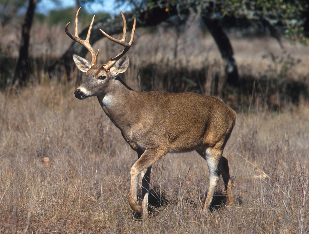 Big gameWhitetail DeerOdocoileus virginianus
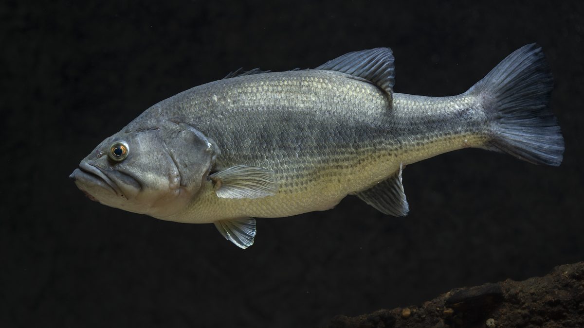 GamefishLargemouth BassMicropterus nigricans
 Wildlife guideNorth American beaverCastor canadensis
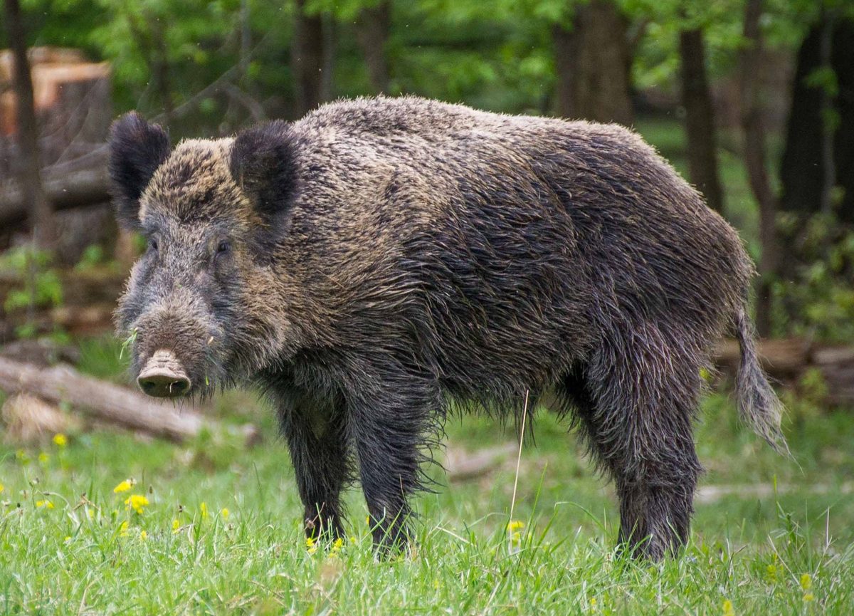 Big gameWild HogSus scrofa
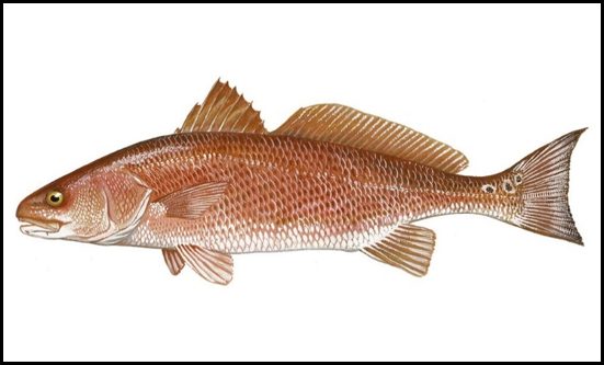 GamefishRed DrumSciaenops ocellatus
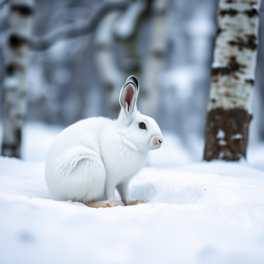 Wildlife guideSnowshoe hareLepus americanus
 Big gameBlack BearUrsus americanus
Sandstone bluffs and a small wilderness footprint
Panther Den Wilderness lies in the Shawnee National Forest in Union County, southern Illinois. Designated wilderness in 1990, it is the smallest wilderness area in Illinois and shares its northern boundary with Crab Orchard Wilderness. A large ancient waterway carved the valley, leaving sandstone bluffs, layered rock formations, and massive blocks separated from the canyon walls. Narrow crevices between those blocks and old rock shelters give the terrain much of its character. Cliffs reach 70 feet high, making careful footing and a conservative distance from edges important. This is a place to explore on foot at an unhurried pace: the rock formations, sheltered recesses, and changing views through the valley are the main reasons to spend time here.
Trails, lake fingers, and wildlife
The River to River Trail forms the primary hiking network through Panther Den. It is well marked, with several loops and additional branching trails supporting the main system. Those connections offer options for day hiking or a longer backpacking outing, but carry a trail map and choose a turnaround or loop before setting out. Three fingers of Devil's Kitchen Lake extend into the northern portion of the wilderness. The waters draw canoeists and anglers, with largemouth and smallmouth bass, crappie, and bluegill among the fish found here. Bird-watching and photography fit naturally into a visit. Muskrats, deer, and beavers inhabit the area, while sheltered bluff overhangs support French's shooting star. Avoid trampling vegetation beneath the rock shelters, and give wildlife space.
Primitive camping and practical preparation
Primitive camping is allowed within the designated wilderness, with no permit required and no fee for primitive camping. Stays are limited to 14 continuous days. Camp and wash at least 150 feet from lakes and streams, and do not camp within designated natural areas or research natural areas; their boundaries are marked with yellow posts. Potable water is not available at the site, so bring drinking water or a suitable treatment method if planning to use natural sources. Do not depend on restroom facilities when preparing for the trip. Hiking, backpacking, and horseback riding are supported activities. Pack for time on uneven rock and forest trails, carry navigation tools, and keep camping arrangements simple enough to leave the ground and vegetation undisturbed.
Route options
- River to River Trail
Follow the wilderness's primary, well-marked trail for a day hike or as the backbone of a backpacking outing. Choose the extent of the walk using a trail map rather than assuming a fixed destination or mileage.
- River to River Trail loops
Use the several loops within the main trail system to plan a circuit. Additional trails branch from the River to River Trail; confirm the connections on a trail map before committing to a loop.
Sample itineraries
- Panther Den day hike · 1 day
Start at Panther Den Trailhead at the end of Panther Den Lane. Follow the marked River to River Trail system, choosing a loop suited to your time and ability. Explore the sandstone scenery without approaching cliff edges or forcing passage through narrow crevices.
- Primitive camping overnight · 2 days
Use the River to River Trail and its connecting trails for an overnight backpacking trip. Camp within designated wilderness, at least 150 feet from lakes and streams, outside natural areas marked by yellow posts. Carry drinking water and leave time for sandstone formations and bird-watching before returning.
Seasonal conditions
Spring
Spring
Plan around the forecast rather than a fixed seasonal opening. Rain can make sandstone footing slippery; take particular care near cliffs and narrow crevices. Carry drinking water because potable water is unavailable.
Summer
Summer
For warm-weather hikes, carry enough water for the full outing and adjust effort to the heat. Do not count on drinking-water facilities. Keep a safe distance from cliff edges while stopping for scenery or photographs.
Fall
Fall
Match loop choices to available daylight and carry layers for changing temperatures. Check current fire conditions before an overnight trip. Primitive camps must remain outside marked natural areas and away from lakes and streams.
Winter
Winter
If freezing weather brings ice, sandstone surfaces and cliff approaches require extra caution. Choose a shorter outing when footing or daylight limits travel. Carry insulating layers and drinking water rather than relying on site facilities.
| Season | Window | Conditions |
|---|---|---|
| Spring | Spring | Plan around the forecast rather than a fixed seasonal opening. Rain can make sandstone footing slippery; take particular care near cliffs and narrow crevices. Carry drinking water because potable water is unavailable. |
| Summer | Summer | For warm-weather hikes, carry enough water for the full outing and adjust effort to the heat. Do not count on drinking-water facilities. Keep a safe distance from cliff edges while stopping for scenery or photographs. |
| Fall | Fall | Match loop choices to available daylight and carry layers for changing temperatures. Check current fire conditions before an overnight trip. Primitive camps must remain outside marked natural areas and away from lakes and streams. |
| Winter | Winter | If freezing weather brings ice, sandstone surfaces and cliff approaches require extra caution. Choose a shorter outing when footing or daylight limits travel. Carry insulating layers and drinking water rather than relying on site facilities. |
Permits, fees & closures
No permit required. Primitive camping is allowed within designated wilderness for a maximum of 14 continuous days. Camp and wash at least 150 feet from lakes and streams. Camping is prohibited in designated natural areas and research natural areas, marked by yellow posts.
Fees: Primitive camping is free.
Official source: Shawnee National Forest | Panther Den Wilderness · Verified November 3, 2026
Hazards & regulations
- Cliffs reach 70 feet high. Stay back from edges, especially while photographing scenery or watching birds.
- Massive sandstone blocks form narrow crevices. Avoid squeezing into passages that lack a clear, safe exit.
- Potable water is unavailable. Carry enough drinking water for the planned outing.
- Several trails branch from the main River to River Trail system. Carry a map and verify junctions rather than assuming every branch completes your chosen loop.
- Wet or icy sandstone can make footing unreliable. Adjust plans to weather and surface conditions.
What to pack for Panther Den Wilderness
- Trail map showing the River to River Trail and connecting loops
- Compass or offline navigation
- Headlamp
- First-aid kit
- Drinking water for the full outing
- Food and extra snacks
- Footwear with reliable traction
- Rain protection and season-appropriate layers
- Shelter and sleeping system for primitive camping
- Trash bags to pack out waste
- Binoculars for bird-watching
- Camera for sandstone formations
Panther Den Wilderness FAQ
- Where is Panther Den Wilderness?
- It is in Shawnee National Forest in Union County, southern Illinois. Its northern boundary meets Crab Orchard Wilderness, and three fingers of Devil's Kitchen Lake extend into its northern section.
- Where should visitors park?
- Use the Panther Den Trailhead parking lot at the end of Panther Den Lane. Plan driving navigation to that trailhead rather than a general point inside the wilderness.
- What hiking routes are available?
- The River to River Trail is the primary trail system. It is well marked and includes several loops, with other trails branching off to support the network. Choose your route using a trail map.
- Are water and restrooms available?
- Potable water is not available. Restroom availability is unconfirmed, so do not plan around having restroom facilities at the trailhead.
- What makes the landscape distinctive?
- An ancient waterway carved the valley. Sandstone bluffs, multilayered formations, separated canyon blocks, narrow crevices, and rock shelters define the terrain. Sheltered overhangs support French's shooting star; avoid disturbing plants beneath the bluffs.
- Can visitors ride horses or bicycles?
- Horseback riding is an available activity. Bicycles and motorized transport are generally prohibited in wilderness; plan to explore on foot or horseback rather than by bike or motor vehicle.