


Where on earth
Satellite imagery flying in from a world view to Hetch Hetchy Backcountry, United States. Use the + / − buttons, or click the map to zoom with your scroll wheel; drag to pan and pinch to zoom on touch.
- Region
- California, USA
- Country
- United States
- Biome
- Sierra granite canyon (1,150–2,700 m)
- Best season
- May – October
- Difficulty
- moderate
- Backpacking
- Hiking
- Climbing
- Desert Hiking
- Canyoneering
- Wildlife Viewing
- Canoeing
- Fishing
Key takeaways
- Biome: Sierra granite canyon (1,150–2,700 m)
- Best season: May – October
- Difficulty: moderate
- Top activity: backpacking
Photos of Hetch Hetchy Backcountry
Topic summary
The overlooked northwest corner of Yosemite — waterfalls, granite domes, and long river canyons.
Key takeaways
- Difficulty: moderate
- Best season: May – October
Intended uses
backpacking
Climate suitability
Sierra granite canyon (1,150–2,700 m)
Tools for a trip here
Picked for how, when and where you're going. Free, no signup.
- Sleep System Temp CalculatorCold nights: check your bag and pad add up to a safe sleep.
- Base Weight CalculatorEvery ounce is carried — total your kit and find your base weight.
- Pack Volume SizerSize the pack for your trip length and season.
- Water Purification MatrixTreat water from streams and lakes on trail.
- Layering CalculatorCold-season miles: layer for climbs and camp.
Plan with verified data
Hetch Hetchy Backcountry trip tools
How to get there
Hetch Hetchy is in the northwestern part of Yosemite National Park in California. Confirm the approach road, arrival arrangements, and current access conditions with the park before traveling.
- O'Shaughnessy Dam
The dam on the Tuolumne River that created Hetch Hetchy Reservoir. Confirm visitor access and any trail connections with the park; its status as a landmark does not establish a backcountry entry point.
- Hetch Hetchy Reservoir
The reservoir occupies the flooded glacial valley. Identify a designated access location using current park information rather than assuming the shoreline offers continuous or permitted access.
Sources: Wikipedia · Wikivoyage. Confirm road and trailhead conditions with the managing agency before you leave.
Popular pursuits at Hetch Hetchy Backcountry
- Backpacking
Multi-day travel with everything on your back — see the packing blocks below.
- Hiking
Day miles on marked trail, with route notes and trail links below.
- Climbing
Rock and alpine lines with approach beta.
- Desert Hiking
Water carries and heat management drive the plan.
- Canyoneering
Narrows, downclimbs, and flash-flood timing.
- Wildlife Viewing
Best light, best season, and where animals move.
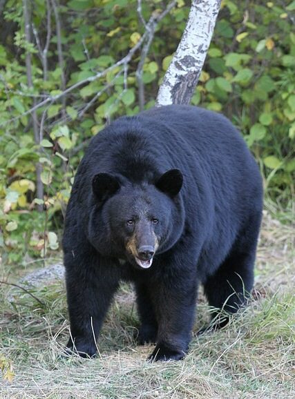
Animals around Hetch Hetchy Backcountry
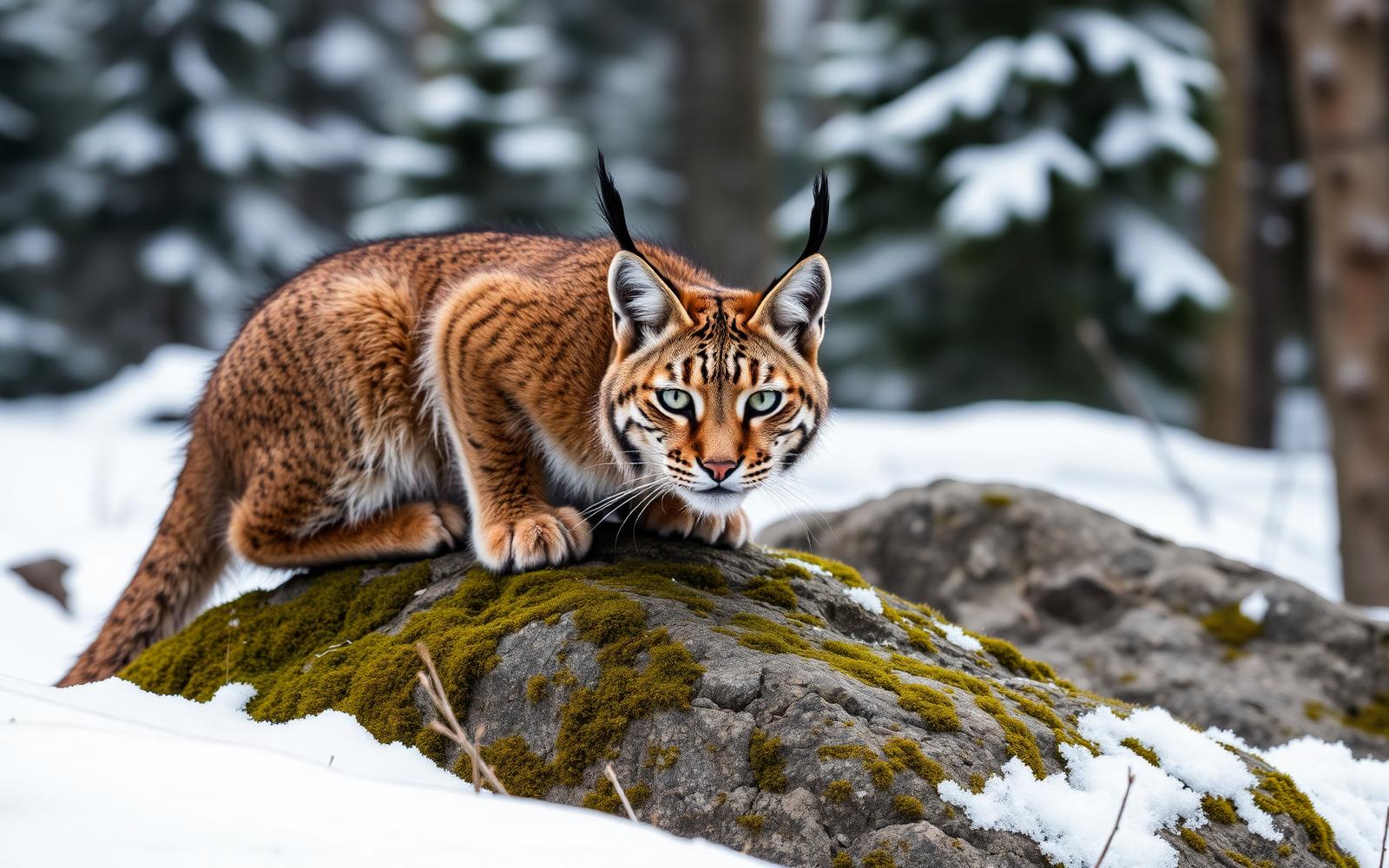
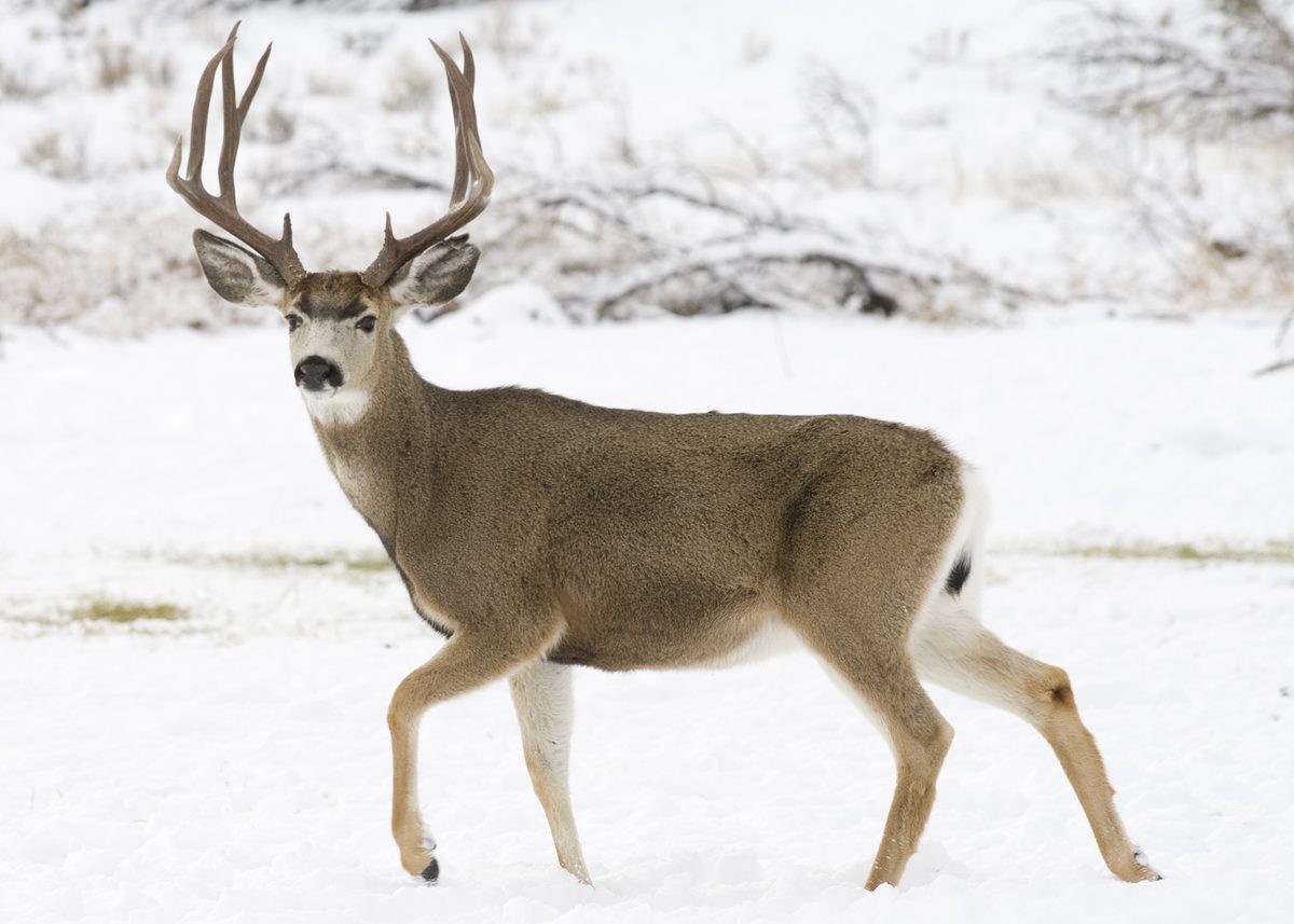
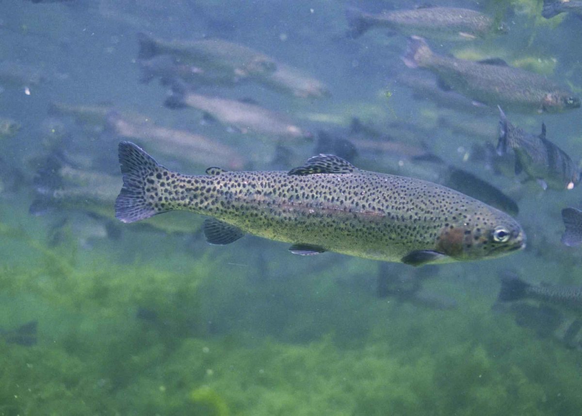
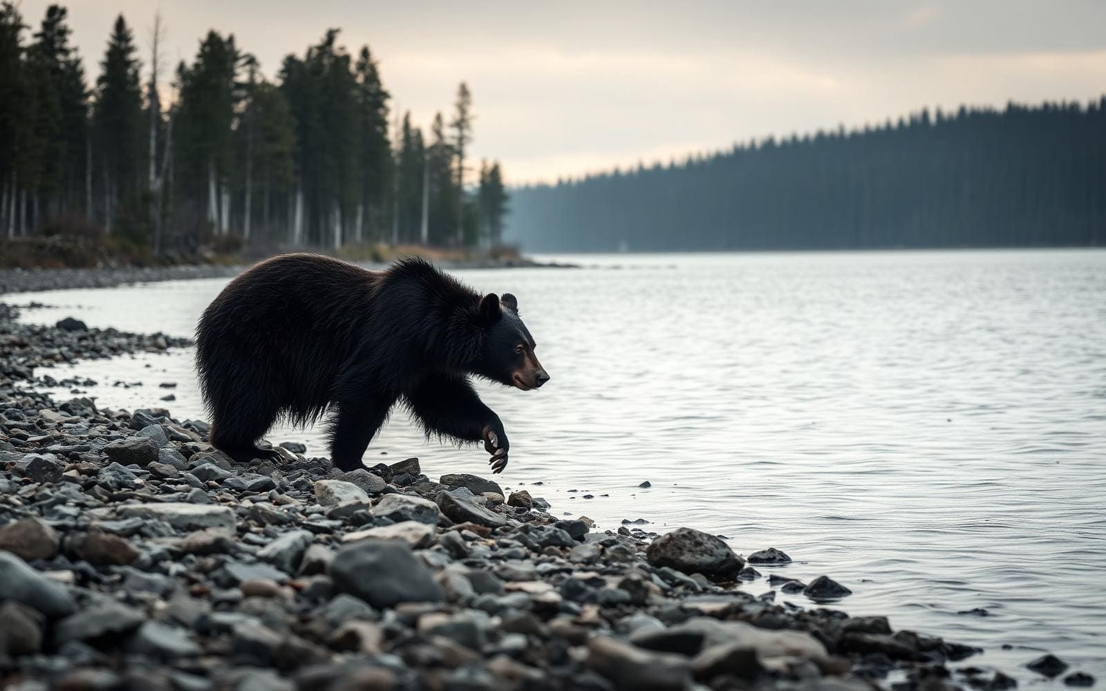
Maps, GPS & compass for this trip
Carry a waterproof paper map and a compass you can steer by, and treat the GPS as the backup — not the other way round. Buying links go to Amazon; Wild10 earns a commission at no cost to you.
Waterproof topo maps
- Waterproof topographic map — Hetch Hetchy BackcountryAmazon search for waterproof, tear-resistant topo maps covering this area.
- National Geographic Trails IllustratedThe waterproof Trails Illustrated series — check for a sheet covering this area.
- Waterproof map case & compass lanyardKeep a paper map readable in rain, spray and a swamped boat.
Fishing at Hetch Hetchy Backcountry
Planning to fish Hetch Hetchy Backcountry, California? Fishing licenses, open seasons and catch limits in California are set by the local wildlife authority and change every year — check the official source before you cast a line.
Do I need a fishing license at Hetch Hetchy Backcountry?
- A California fishing license is normally required for anyone over the local youth age.
- Read the current California fishing regulations for special waters, barbless-hook or catch-and-release rules.
- Clean, drain and dry boats and gear between waters to stop invasive species.
Hunting near Hetch Hetchy Backcountry
Thinking about hunting Hetch Hetchy Backcountry, California? Hunting seasons, tags and draws in California are set by the wildlife authority each year. Confirm the rules for your species and unit before you go.
Is hunting allowed at Hetch Hetchy Backcountry?
- Confirm the land around Hetch Hetchy Backcountry is open to hunting and which management unit it falls in.
What do I need to hunt in California?
- A California hunting license — most jurisdictions also require hunter education certification.
- Species tags or draw results for big game such as deer, elk, moose or bear where they occur.
- Knowledge of firearm and bow transport rules, which differ by land type and border crossing.
A flooded glacial valley in northwestern Yosemite
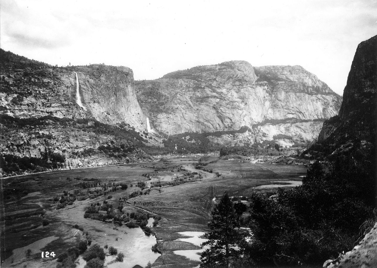
Hetch Hetchy sits in the northwestern part of Yosemite National Park, where the Tuolumne River drains a glacial valley now occupied by a reservoir. That distinction matters when planning a backcountry trip: the historic valley and the present-day landscape are not interchangeable. O'Shaughnessy Dam flooded the entire valley in 1923, making the reservoir the defining feature of the place today. Think of Hetch Hetchy as a mountain landscape shaped both by glaciation and by a major water-supply project. Before choosing an outing, confirm current trail connections, legal access, and overnight requirements with the park. The valley's location establishes the broad setting, but it does not establish a usable trailhead, a walking distance, or a route into the surrounding backcountry.
A landscape with a long human history
Hetch Hetchy's human history extends thousands of years before the reservoir. Native Americans inhabited the valley and practiced subsistence hunting and gathering long before settlers from the United States arrived in the 1850s. By the late nineteenth century, the valley had become known for its scenery and was often compared with Yosemite Valley. At the same time, irrigation and municipal water interests sought to develop it as a water supply. The resulting dispute over damming became a political controversy, not simply an engineering decision. Congress passed the law authorizing the dam on December 7, 1913. Keeping that sequence in mind gives a visit context: the water covers a formerly inhabited valley, and the present landscape reflects a contested change in its use.
The reservoir and backcountry planning
The reservoir is part of a working water system, not just a feature within a national park. O'Shaughnessy Dam and Hetch Hetchy Reservoir form the centerpiece of the Hetch Hetchy Project, which began delivering water to San Francisco and other Bay Area municipalities in 1934. That role is important context for trip planning: being beside a reservoir does not itself establish permission to enter the water, follow its shore, or camp nearby. Confirm permitted activities and current backcountry requirements with the managing agency before committing to an itinerary. Use current park maps to identify actual trails and access points, and match supplies and equipment to the route selected. No specific walking route, seasonal access pattern, or overnight itinerary is established here.
Route options
- Hetch Hetchy Valley
A planning focus rather than a verified walking route. The historic valley is flooded beneath the reservoir; choose a mapped, permitted trail in the surrounding landscape before setting an itinerary.
- Tuolumne River
The river drains Hetch Hetchy Valley and is impounded by O'Shaughnessy Dam. A river-focused backcountry outing requires confirmation of an actual trail and legal access; no continuous riverside route is established here.
Sample itineraries
- Hetch Hetchy landscape and history · 1 day
Plan a day focused on Hetch Hetchy Reservoir and the landscape shaped by O'Shaughnessy Dam. Confirm available access before choosing an outing. The reservoir occupies a glacial valley on the Tuolumne River in northwestern Yosemite National Park.
- Two-day backcountry exploration · 2 days
Use two days for a backcountry trip only after confirming suitable routes, overnight locations, and current requirements with Yosemite National Park. Choose the route around the group's ability rather than assuming the reservoir provides a continuous hiking route.
Seasonal conditions
Spring
Confirm current spring access
Check local weather and route conditions before committing to a backcountry plan. Treat reservoir and river margins cautiously; do not assume a waterside route is passable.
Summer
Confirm current summer conditions
Match walking plans to the forecast and carry drinking water and sun protection. The reservoir's role as a municipal water supply does not establish drinking-water availability along a route.
Fall
Confirm current fall access
Check the forecast and available daylight when setting daily objectives. Carry layers and a headlamp rather than relying on settled weather or finishing before dark.
Winter
Confirm current winter access
Verify access and route suitability before travel. Select clothing and equipment for the actual forecast; do not assume a summer trip plan remains appropriate.
| Season | Window | Conditions |
|---|---|---|
| Spring | Confirm current spring access | Check local weather and route conditions before committing to a backcountry plan. Treat reservoir and river margins cautiously; do not assume a waterside route is passable. |
| Summer | Confirm current summer conditions | Match walking plans to the forecast and carry drinking water and sun protection. The reservoir's role as a municipal water supply does not establish drinking-water availability along a route. |
| Fall | Confirm current fall access | Check the forecast and available daylight when setting daily objectives. Carry layers and a headlamp rather than relying on settled weather or finishing before dark. |
| Winter | Confirm current winter access | Verify access and route suitability before travel. Select clothing and equipment for the actual forecast; do not assume a summer trip plan remains appropriate. |
Permits, fees & closures
Confirm backcountry permit requirements and current access rules with Yosemite National Park before planning an overnight trip.
Confirm current permits, fees, and closures with the managing agency before you go.
Hazards & regulations
- Falls into reservoir or river water can have serious consequences. Keep a safe margin from water edges.
- Unverified access can undermine a backcountry plan. Confirm the intended route and a return option before departure.
- Weather exposure requires preparation. Carry appropriate layers and adjust objectives to the forecast.
What to pack for Hetch Hetchy Backcountry
- Map covering the confirmed route
- Navigation device with offline information
- Headlamp
- Written trip plan shared with a trusted contact
- Drinking water
- Water treatment for any confirmed collection sources
- Food appropriate to the trip length
- Footwear suited to the chosen route
- Weather-appropriate layers
- Sun protection
- First-aid kit
- Emergency shelter
Hetch Hetchy Backcountry FAQ
- Where is Hetch Hetchy?
- Hetch Hetchy lies in northwestern Yosemite National Park in California. The name refers to a valley, reservoir, and water system associated with the Tuolumne River.
- What happened to the original valley?
- Completion of O'Shaughnessy Dam in 1923 flooded the glacial Hetch Hetchy Valley beneath the reservoir. The dam followed a major controversy over using the valley for water supply.
- What is the reservoir used for?
- The dam and reservoir are central to the Hetch Hetchy Project, which began delivering water to San Francisco and other greater Bay Area municipalities in 1934.
- What should be confirmed before an overnight trip?
- Ask Yosemite National Park about current access, suitable routes, overnight locations, permit requirements, and water availability. Establish those details before choosing a daily schedule.
- Who lived in the valley before it was dammed?
- Native Americans inhabited the valley for thousands of years before settlers from the United States arrived in the 1850s. Their subsistence practices included hunting and gathering.