



French River
Canada's first Heritage River — an ancient fur-trade highway through pink-granite Georgian Bay Shield.
Where on earth
Satellite imagery flying in from a world view to French River, Worldwide. Use the + / − buttons, or click the map to zoom with your scroll wheel; drag to pan and pinch to zoom on touch.
- Region
- Ontario, Canada
- Country
- Worldwide
- Biome
- Canadian Shield (200 m)
- Best season
- May – October
- Trip length
- 3 – 10 days (many loops)
- Difficulty
- moderate
- Backpacking
- Hiking
- Canoeing
- Kayaking
- Climbing
- Wildlife Viewing
- Fishing
Key takeaways
- Biome: Canadian Shield (200 m)
- Best season: May – October
- Trip length: 3 – 10 days (many loops)
- Difficulty: moderate
- Top activity: backpacking
Topic summary
Canada's first Heritage River — an ancient fur-trade highway through pink-granite Georgian Bay Shield.
Key takeaways
- Difficulty: moderate
- Best season: May – October
Intended uses
backpacking
Climate suitability
Canadian Shield (200 m)
Verification notes
Last verified January 1, 1970.
Plan with verified data
French River trip tools
Popular pursuits at French River
- Backpacking
Multi-day travel with everything on your back — see the packing blocks below.
- Hiking
Day miles on marked trail, with route notes and trail links below.
- Canoeing
Paddle routes, portages, and put-ins.
- Kayaking
Sheltered and open-water paddling lines.
- Climbing
Rock and alpine lines with approach beta.
- Fishing
Resident gamefish, seasons, and the water that holds them.
Animals around French River
 Wildlife guideTimber wolfCanis lupus
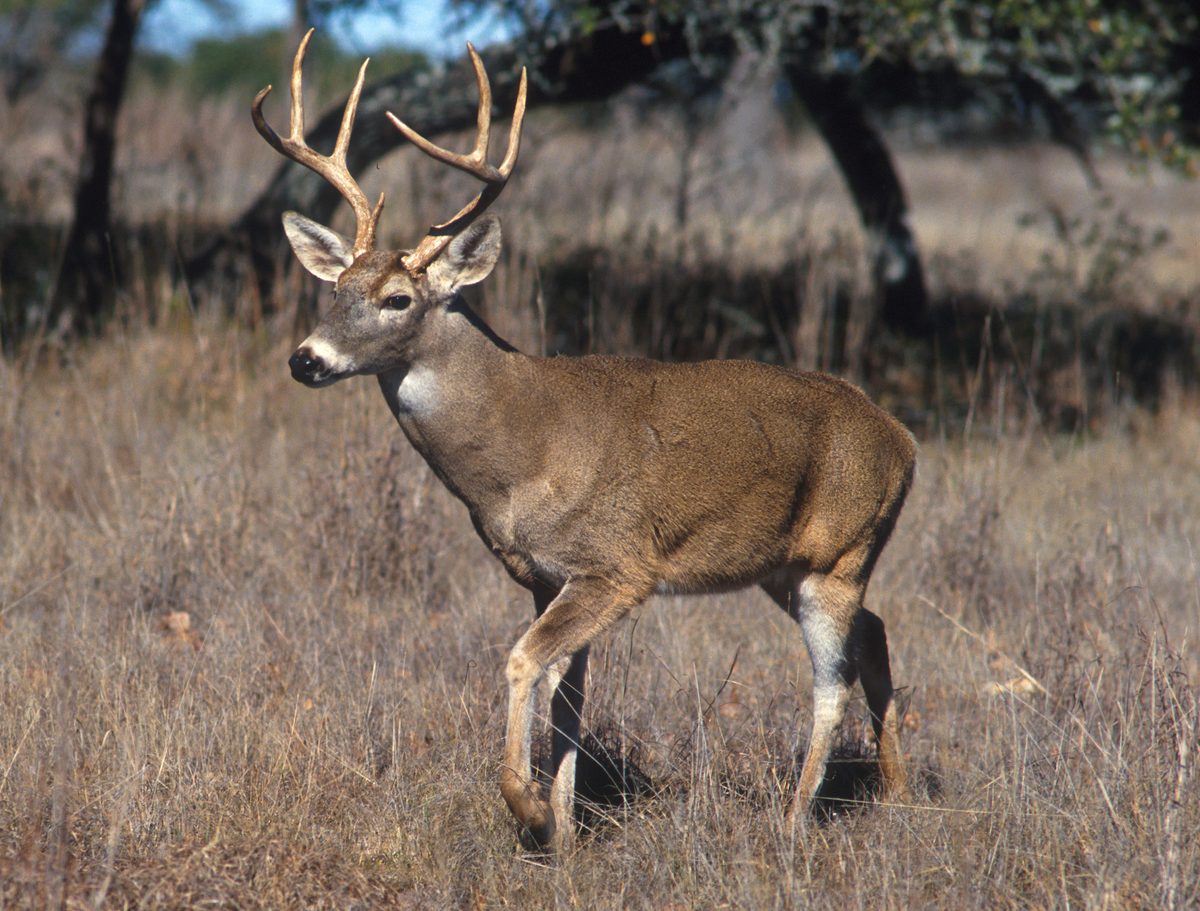 Big gameWhitetail DeerOdocoileus virginianus
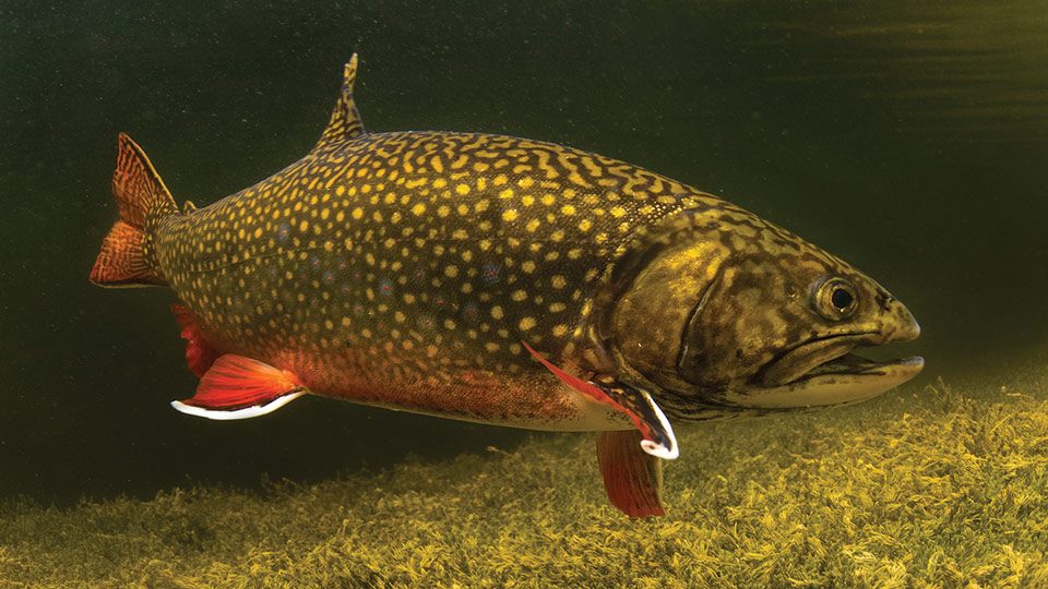 GamefishBrook TroutSalvelinus fontinalis
 Wildlife guideCanada lynxLynx canadensis
 Big gameBlack BearUrsus americanus
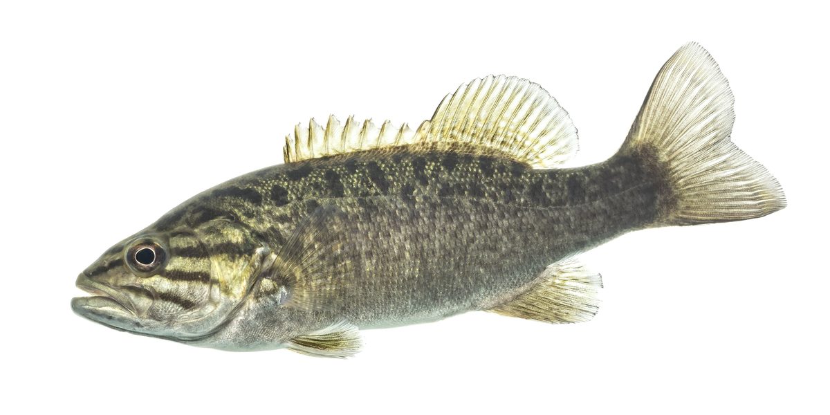 GamefishSmallmouth BassMicropterus dolomieu
 Wildlife guideBlack bearUrsus americanus
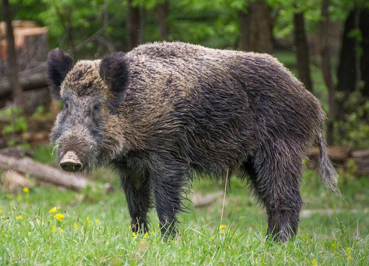 Big gameWild HogSus scrofa
River Overview
The French River is a significant waterway in Central Ontario, Canada, flowing 110 kilometers from Lake Nipissing southwest to Georgian Bay. It serves as a natural boundary between the Parry Sound District and the Sudbury District, often regarded as the dividing line between Northern and Southern Ontario. The river's basin spans 19,000 square kilometers, with Lake Nipissing, the fourth-largest inland lake in Ontario, at its head. The Sturgeon River, Veuve River, and South River are the main tributaries feeding Lake Nipissing. The French River was recognized for its geographical, cultural, and historical importance by being designated a Canadian Heritage River in 1986. This designation acknowledges its long history as a traditional route for First Nations people and a crucial segment of the Voyageur Route during the fur trade era.
Water Management and Dams
The French River Dams Complex plays a critical role in managing water levels for Lake Nipissing and regulating the flow into the French River. The complex comprises three dams: the Little Chaudière Dam, the Portage Dam, and the Big Chaudière Dam, all featuring vertical gates for outflow control. These structures are integral to flood mitigation, especially with Lake Nipissing functioning as a large reservoir. During fall and winter, dam gates are gradually opened to lower the reservoir, preparing for spring runoff from snowmelt and rainfall, thereby mitigating flood risks. Throughout the summer, water levels are managed to maintain navigational depths between 195.75 and 195.95 meters, supporting recreation and fisheries. The navigational season typically runs from the May long weekend through mid-October. The Dokis First Nation occupies land near the dams, and access to these structures is via First Nations Reserve land. The Okikendawt Hydroelectric Project, a low-flow hydropower facility, operates adjacent to the Portage Dam.
Historical and Cultural Significance
The French River boasts a rich history, serving as a vital transportation corridor for millennia. It was a traditional route for Indigenous peoples long before European contact, facilitating travel and trade. Later, during the fur trade era, it became a cornerstone of the historic Voyageur Route, connecting the Great Lakes to the interior of Canada. This historical importance, coupled with its natural beauty and ecological value, led to its designation as a Canadian Heritage River in 1986. The river's heritage is deeply intertwined with the Dokis First Nation, whose reserve lands are located near the crucial dam complex. Visitors to the area should be aware of this historical context and respect the cultural significance of the land and water.
Access and Infrastructure
Access to the French River dams, specifically the Little Chaudière, Portage, and Big Chaudière Dams, is through Dokis First Nation Reserve land. The Little Chaudière Dam, located within the French River Provincial Park, is exclusively accessible by boat. The Portage Dam, rebuilt in 1992, is adjacent to the Okikendawt Generating Station. The Big Chaudière Dam, initially constructed between 1910 and 1916, was replaced in 2016 with new structures slightly downstream. While the dams primarily serve water management purposes, they represent key points along the river. Information regarding current water levels and flow is available, with conditions subject to rapid changes due to weather. Travelers should regularly check weather updates and consult official sources for the most accurate and current conditions before planning river activities. Inquiries regarding the French River dams can be directed to Public Services and Procurement Canada.
Getting to French River
- Little Chaudière Dam
Located within the French River Provincial Park, this dam is only accessible by boat.
- Portage Dam
This dam is adjacent to the privately owned Okikendawt Generating Station. Access to the general area of the dams is through Dokis First Nation Reserve land.
- Big Chaudière Dam
These dams, replaced in 2016, are located downstream from the original structures. Access to the general area of the dams is through Dokis First Nation Reserve land.
Seasonal conditions
| Season | Window | Conditions |
|---|---|---|
| Spring | March to May | During spring, the French River basin experiences significant runoff from snowmelt and rainfall. Water managers typically aim to have the Lake Nipissing reservoir empty at the start of spring to capture this runoff and mitigate flooding on both the lake and river. |
| Summer | June to August | Through the summer months, water managers aim to reach and maintain navigational water levels on Lake Nipissing, typically between 195.75 and 195.95 meters. This period supports recreation and fisheries. |
| Fall | September to November | The navigational season typically ends by mid-October. In the fall, dam gates are gradually opened to begin emptying the Lake Nipissing reservoir in preparation for winter and the subsequent spring runoff. |
| Winter | December to February | Water managers continue to gradually empty the Lake Nipissing reservoir throughout the winter months to prepare for significant runoff expected in the spring. Weather conditions can change rapidly and unpredictably during this time. |
Permits, fees & closures
Confirm specific permit requirements with the managing agency or relevant First Nation authorities, especially for access through Dokis First Nation Reserve land.
Official source: French River Dams Complex - Canada.ca · Verified September 14, 2026
Hazards & regulations
- Rapid and unpredictable weather changes
- Variable water levels and flow, particularly during flood mitigation operations
- Industrial infrastructure (dams, generating stations) which may have restricted access or operational hazards
- Potential for high water flows during spring runoff or heavy rainfall
What to pack for French River
- Appropriate watercraft (canoe, kayak, motorboat)
- Personal flotation devices (PFDs)
- Navigation charts or GPS
- Current weather forecasting tools or satellite communication device
- Emergency signaling device (whistle, flares)
- Water and food supplies
- First-aid kit
- Sun protection (hat, sunscreen, sunglasses)
- Insect repellent
- Appropriate clothing layers for changing weather
French River FAQ
- What is the purpose of the French River Dams Complex?
- The French River Dams Complex, consisting of the Little Chaudière, Portage, and Big Chaudière Dams, manages water levels in Lake Nipissing and regulates flow into the French River. Its primary functions include flood mitigation, supporting fisheries, and maintaining recreational navigation levels.
- How long is the French River?
- The French River flows 110 kilometers (68 miles) from Lake Nipissing southwest to Georgian Bay.
- When is the navigational season on the French River?
- The navigational season typically starts on the May long weekend and ends by mid-October, with water levels managed to support safe passage during this period.
- How can I check current water conditions?
- For weekly condition updates, call the Recorded Information Line at 1-866-763-2300. For general inquiries on the French River dams, call 1-833-919-3267 or email Niveaueau.WaterReading@tpsgc-pwgsc.gc.ca. It is recommended to regularly check weather updates as conditions can change rapidly.
- What is the historical significance of the French River?
- The French River holds a long and rich history as a traditional route for First Nations people and later as an important section of the Voyageur Route during the fur trade. It was designated a Canadian Heritage River in 1986 for its significance to Canada's geography, culture, and history.
- Is access to the dams restricted?
- Access to the French River dams is through Dokis First Nation Reserve land. The Little Chaudière Dam is only accessible by boat. Specific access restrictions or requirements should be confirmed with relevant authorities.