



Where on earth
Satellite imagery flying in from a world view to Denali — Kesugi Ridge Trail, Polar Regions. Use the + / − buttons, or click the map to zoom with your scroll wheel; drag to pan and pinch to zoom on touch.
- Region
- Alaska, United States
- Country
- Polar Regions
- Biome
- Sub-Arctic ridge (300–1,500 m)
- Best season
- June – September
- Difficulty
- moderate
- Backpacking
- Hiking
- Winter Camping
- Wildlife Viewing
- Canoeing
- Fishing
Key takeaways
- Biome: Sub-Arctic ridge (300–1,500 m)
- Best season: June – September
- Difficulty: moderate
- Top activity: backpacking
Photos of Denali — Kesugi Ridge Trail
Topic summary
A 30-mile 3-day ridge trek in Denali State Park with unobstructed Denali views.
Key takeaways
- Difficulty: moderate
- Best season: June – September
Intended uses
backpacking
Climate suitability
Sub-Arctic ridge (300–1,500 m)
Tools for a trip here
Picked for how, when and where you're going. Free, no signup.
- Sleep System Temp CalculatorCold nights: check your bag and pad add up to a safe sleep.
- Bear Country Food StorageBear country: canister, Ursack or hang, and the local rules.
- Base Weight CalculatorEvery ounce is carried — total your kit and find your base weight.
- Pack Volume SizerSize the pack for your trip length and season.
- Water Purification MatrixTreat water from streams and lakes on trail.
Plan with verified data
Denali — Kesugi Ridge Trail trip tools
How to get there
Approach from Parks Highway in Denali State Park, Alaska. Upper Troublesome Creek, Cascade, Ermine Hill and Little Coal Creek trails provide access to Kesugi Ridge from highway locations between mile 137.6 and mile 163.9. The ridge trail does not connect directly to the road.
- Upper Troublesome Creek trail
One of four connecting trails providing access from Parks Highway to Kesugi Ridge.
- Cascade trail
A Parks Highway approach connecting with the Kesugi Ridge Trail.
- Ermine Hill trail
A connecting trail used to reach Kesugi Ridge from Parks Highway.
- Little Coal Creek trail
Provides access to the ridge trail from Parks Highway; account for the approach separately from the ridge's published mileage.
Sources: Wikipedia · Wikivoyage. Confirm road and trailhead conditions with the managing agency before you leave.
Popular pursuits at Denali — Kesugi Ridge Trail
- Backpacking
Multi-day travel with everything on your back — see the packing blocks below.
- Hiking
Day miles on marked trail, with route notes and trail links below.
- Winter Camping
Cold-season travel and camp craft; layering matters more than mileage.
- Wildlife Viewing
Best light, best season, and where animals move.
- Canoeing
Paddle routes, portages, and put-ins.
- Fishing
Resident gamefish, seasons, and the water that holds them.
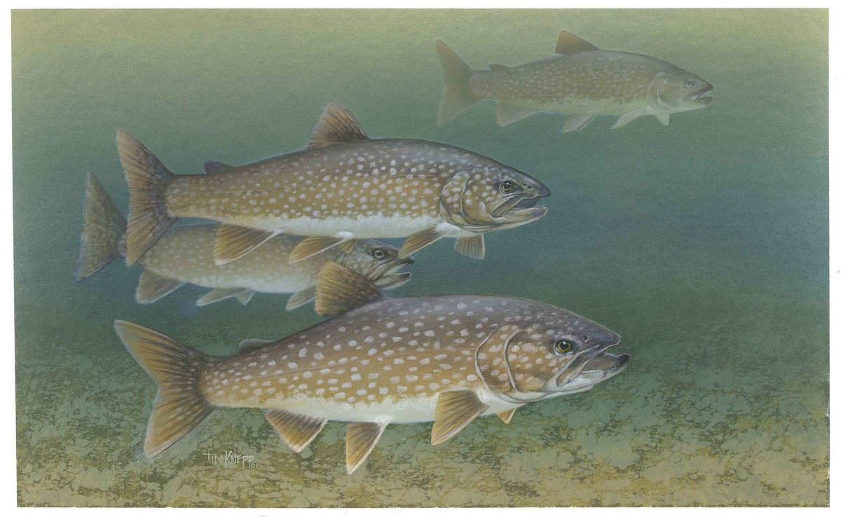
Animals around Denali — Kesugi Ridge Trail







Maps, GPS & compass for this trip
Carry a waterproof paper map and a compass you can steer by, and treat the GPS as the backup — not the other way round. Buying links go to Amazon; Wild10 earns a commission at no cost to you.
Waterproof topo maps
- Waterproof topographic map — Denali — Kesugi Ridge TrailAmazon search for waterproof, tear-resistant topo maps covering this area.
- National Geographic Trails IllustratedThe waterproof Trails Illustrated series — check for a sheet covering this area.
- Waterproof map case & compass lanyardKeep a paper map readable in rain, spray and a swamped boat.
Fishing at Denali — Kesugi Ridge Trail
Planning to fish Denali — Kesugi Ridge Trail, Alaska? Fishing licenses, open seasons and catch limits in Alaska are set by the local wildlife authority and change every year — check the official source before you cast a line.
Do I need a fishing license at Denali — Kesugi Ridge Trail?
- A Alaska fishing license is normally required for anyone over the local youth age.
- Read the current Alaska fishing regulations for special waters, barbless-hook or catch-and-release rules.
- Clean, drain and dry boats and gear between waters to stop invasive species.
Hunting near Denali — Kesugi Ridge Trail
Thinking about hunting Denali — Kesugi Ridge Trail, Alaska? Hunting seasons, tags and draws in Alaska are set by the wildlife authority each year. Confirm the rules for your species and unit before you go.
Is hunting allowed at Denali — Kesugi Ridge Trail?
- Confirm the land around Denali — Kesugi Ridge Trail is open to hunting and which management unit it falls in.
What do I need to hunt in Alaska?
- A Alaska hunting license — most jurisdictions also require hunter education certification.
- Species tags or draw results for big game such as deer, elk, moose or bear where they occur.
- Knowledge of firearm and bow transport rules, which differ by land type and border crossing.
An alpine traverse in Denali State Park
Kesugi Ridge Trail is a through-hike in Denali State Park, Alaska, climbing from below the tree line into alpine tundra. The ridge route crosses hills and valleys rather than following a uniformly level crest. In favorable conditions, it offers views of Denali, the tallest mountain in North America, but visibility should be treated as a possibility rather than a promise. The ridge trail itself is 22 miles (35 km) long and does not connect directly to a roadway. Reaching it requires an approach on one of four connecting trails from Parks Highway. That distinction matters when planning: the ridge mileage is not a complete road-to-road itinerary, and the chosen access trails must be accounted for separately.
Terrain, navigation and exposure
The defining transition on Kesugi Ridge is the climb out of the trees and onto open alpine ground. Elevation gain, repeated hills and valleys, and exposure to sudden weather changes make this a difficult hike, not simply a long walk with mountain views. Cairns mark the way through rocky areas; carry navigation tools and be prepared to keep track of the route when visibility deteriorates. The exposed setting calls for weather protection and enough flexibility to turn back rather than press onto the ridge in unsuitable conditions. Plan around the terrain and the group's pace, not just the published ridge distance. Clothing and equipment should suit both the approach below tree line and the more exposed tundra above.
Access choices and changing conditions
Four trails connect Parks Highway with Kesugi Ridge: Upper Troublesome Creek, Cascade, Ermine Hill and Little Coal Creek. Their highway access lies between mile 137.6 and mile 163.9, making the choice of entry and exit an important part of trip planning. For a through-hike, arrange transport between the selected access points rather than assuming the ridge finishes at a road. Bear activity and flooding have both caused trail closures, so confirm current access before committing to an itinerary. Check permit requirements with the managing agency as well. Bear-aware food storage and travel practices belong in the preparation for this hike. Keep plans flexible if wildlife activity, water conditions or sudden weather changes make the intended route unsuitable.
Route options
- Kesugi Ridge through-hike22 miles (35 km) for the ridge trail; connecting access trails are additional.Difficult because of elevation gain, exposure to sudden weather changes and bear activity.
Follow the alpine ridge across hills, valleys and rocky sections marked by cairns. Use connecting trails for road access and plan entry, exit and transport separately.
- Kesugi Ridge access via Ermine Hill
Use the Ermine Hill trail to approach Kesugi Ridge from Parks Highway. This is an access option, not a separately specified ridge itinerary; choose the onward route and exit before departure.
Sample itineraries
- Two-day ridge outing · 2 days
Plan a partial ridge outing rather than assuming a full traverse. Select an approach using Little Coal Creek, Ermine Hill, Cascade or Upper Troublesome Creek trail after checking access conditions. Allow time for the climb from below tree line into alpine tundra, and turn back if weather deteriorates.
- Three-day through-hike plan · 3 days
Use three days as a planning framework for the 22-mile ridge trail, adjusting for fitness, weather and approach mileage. Arrange access and exit using the connecting trails from Parks Highway; the ridge trail itself does not reach a road. Expect hills, valleys and rocky stretches marked by cairns.
Seasonal conditions
Spring
Spring; verify current trail conditions
Do not assume the ridge is accessible based on the calendar. Check weather and flooding-related access restrictions before committing to the climb into alpine tundra.
Summer
Summer; plan around the current forecast
The exposed ridge remains vulnerable to sudden weather changes. Favorable conditions can reveal Denali, but visibility is not guaranteed. Check for bear-related restrictions before departure.
Fall
Fall; assess conditions before departure
Alaska's harsh climate and the ridge's exposure call for conservative plans. Carry protection against cold and wet weather, and shorten the outing when the forecast is uncertain.
Winter
Winter; confirm route suitability
Treat the exposed alpine ridge as a serious cold-weather objective, not a routine extension of a fair-weather hike. Confirm access and conditions before considering a trip.
| Season | Window | Conditions |
|---|---|---|
| Spring | Spring; verify current trail conditions | Do not assume the ridge is accessible based on the calendar. Check weather and flooding-related access restrictions before committing to the climb into alpine tundra. |
| Summer | Summer; plan around the current forecast | The exposed ridge remains vulnerable to sudden weather changes. Favorable conditions can reveal Denali, but visibility is not guaranteed. Check for bear-related restrictions before departure. |
| Fall | Fall; assess conditions before departure | Alaska's harsh climate and the ridge's exposure call for conservative plans. Carry protection against cold and wet weather, and shorten the outing when the forecast is uncertain. |
| Winter | Winter; confirm route suitability | Treat the exposed alpine ridge as a serious cold-weather objective, not a routine extension of a fair-weather hike. Confirm access and conditions before considering a trip. |
Permits, fees & closures
Confirm current permit requirements and access restrictions with the agency managing Denali State Park.
Confirm current permits, fees, and closures with the managing agency before you go.
Hazards & regulations
- Elevation gain from below tree line to the alpine ridge makes this a difficult hike.
- Sudden weather changes can leave hikers exposed on the ridge.
- Bear activity can force trail closures; check current restrictions before departure.
- Flooding can close the trail; confirm access rather than assuming all connecting trails are open.
- Rocky sections rely on cairns for wayfinding. Carry independent navigation tools.
- The 22-mile ridge trail does not connect directly to a roadway; account for connecting trails in mileage and transport planning.
What to pack for Denali — Kesugi Ridge Trail
- Waterproof outer layers
- Warm insulating layers
- Warm hat and gloves
- Map showing the ridge and connecting trails
- Compass and offline navigation
- Written access, exit and transport plan
- Water and water-treatment supplies
- Food and bear-resistant food storage
- First-aid kit
- Emergency shelter
- Overnight shelter and sleeping system for multiday trips
Wildlife you may see
- Bears occur along the route, and their activity can lead to closures. Follow current agency guidance, keep food secure and give wildlife space.
Denali — Kesugi Ridge Trail FAQ
- Is Kesugi Ridge Trail in Denali National Park?
- No. Kesugi Ridge Trail is in Denali State Park, Alaska.
- How long is the trail?
- The ridge trail is 22 miles (35 km). It does not connect directly to a roadway, so include connecting-trail mileage when planning the full outing.
- Where can hikers access the ridge?
- Upper Troublesome Creek, Cascade, Ermine Hill and Little Coal Creek trails provide access from Parks Highway between mile 137.6 and mile 163.9. Confirm which access trails are open before choosing an itinerary.
- What makes the hike difficult?
- The route climbs from below tree line into alpine tundra, then crosses hills, valleys and rocky terrain. Elevation gain, sudden weather changes and bear activity add difficulty.
- Can Denali be seen from the trail?
- Yes, under favorable conditions. Build the trip around the ridge hike rather than counting on a clear mountain view.
- Can the trail close?
- Yes. Bear activity and flooding can cause closures. Check current trail status with the managing agency before departure.