



Where on earth
Satellite imagery flying in from a world view to AT — Roan Highlands, United States. Use the + / − buttons, or click the map to zoom with your scroll wheel; drag to pan and pinch to zoom on touch.
- Region
- North Carolina / Tennessee, USA
- Country
- United States
- Biome
- Southern Appalachian bald (1,200–1,900 m)
- Best season
- April – November
- Difficulty
- moderate
- Backpacking
- Hiking
- Mountaineering
Key takeaways
- Biome: Southern Appalachian bald (1,200–1,900 m)
- Best season: April – November
- Difficulty: moderate
- Top activity: backpacking
Photos of AT — Roan Highlands
Topic summary
The classic AT balds of Roan Mountain — high grassy peaks with panoramic ridge camps.
Key takeaways
- Difficulty: moderate
- Best season: April – November
Intended uses
backpacking
Climate suitability
Southern Appalachian bald (1,200–1,900 m)
Tools for a trip here
Picked for how, when and where you're going. Free, no signup.
- Sleep System Temp CalculatorCold nights: check your bag and pad add up to a safe sleep.
- Base Weight CalculatorEvery ounce is carried — total your kit and find your base weight.
- Pack Volume SizerSize the pack for your trip length and season.
- Water Purification MatrixTreat water from streams and lakes on trail.
- Layering CalculatorCold-season miles: layer for climbs and camp.
Plan with verified data
AT — Roan Highlands trip tools
How to get there
Use Carver’s Gap as the geographic anchor for a Roan Mountain crest outing: it separates the forested western summits from the grassy eastern section. Roan Mountain State Park lies near the mountain’s northern base. Confirm road access, parking arrangements and current trail conditions with the relevant land manager before traveling.
- Carver’s Gap
The gap dividing Roan Mountain’s two main sections. Use it to orient a hike toward Roan High Knob and the forested western crest, or toward Round Bald and the open eastern highlands.
- Tollhouse Gap
An on-mountain planning point between Roan High Bluff and Roan High Knob, containing the rhododendron gardens. Confirm the approach and current access arrangements before using it as a starting point.
Sources: nps.gov · Wikipedia · Wikivoyage. Confirm road and trailhead conditions with the managing agency before you leave.
Popular pursuits at AT — Roan Highlands
- Backpacking
Multi-day travel with everything on your back — see the packing blocks below.
- Hiking
Day miles on marked trail, with route notes and trail links below.
- Mountaineering
Glacier and high-route objectives with real consequence.
Animals around AT — Roan Highlands
 Wildlife guideBlack bearUrsus americanus
 Big gameWhitetail DeerOdocoileus virginianus
 GamefishLargemouth BassMicropterus nigricans
 Wildlife guideNorth American beaverCastor canadensis
 Big gameWild HogSus scrofa
 GamefishRed DrumSciaenops ocellatus
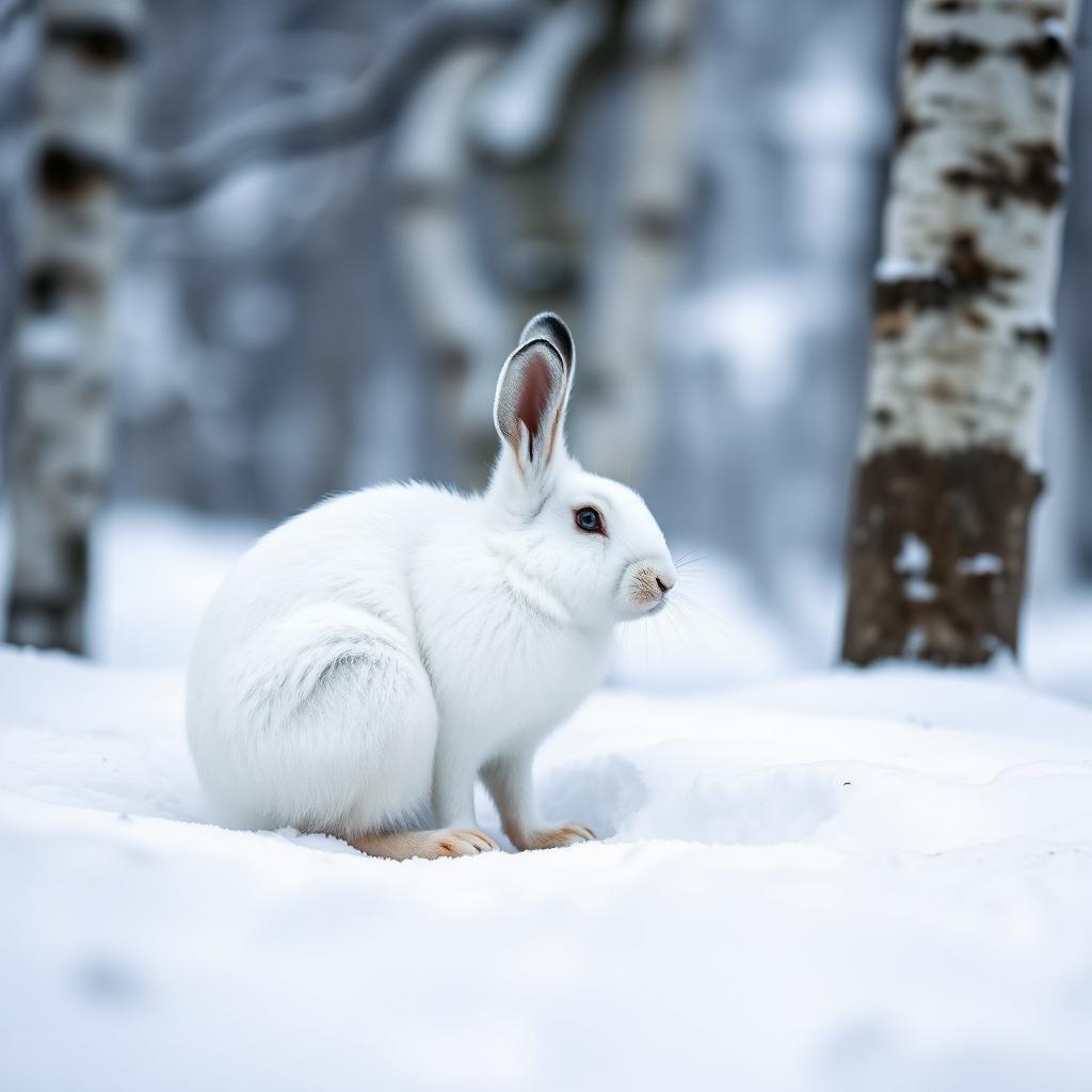 Wildlife guideSnowshoe hareLepus americanus
 Big gameBlack BearUrsus americanus
Maps, GPS & compass for this trip
Carry a waterproof paper map and a compass you can steer by, and treat the GPS as the backup — not the other way round. Buying links go to Amazon; Wild10 earns a commission at no cost to you.
Waterproof topo maps
- Waterproof topographic map — AT — Roan HighlandsAmazon search for waterproof, tear-resistant topo maps covering this area.
- National Geographic Trails IllustratedThe waterproof Trails Illustrated series — check for a sheet covering this area.
- Waterproof map case & compass lanyardKeep a paper map readable in rain, spray and a swamped boat.
Fishing at AT — Roan Highlands
Planning to fish AT — Roan Highlands, North Carolina? Fishing licenses, open seasons and catch limits in North Carolina are set by the local wildlife authority and change every year — check the official source before you cast a line.
Do I need a fishing license at AT — Roan Highlands?
- A North Carolina fishing license is normally required for anyone over the local youth age.
- Read the current North Carolina fishing regulations for special waters, barbless-hook or catch-and-release rules.
- Clean, drain and dry boats and gear between waters to stop invasive species.
Hunting near AT — Roan Highlands
Thinking about hunting AT — Roan Highlands, North Carolina? Hunting seasons, tags and draws in North Carolina are set by the wildlife authority each year. Confirm the rules for your species and unit before you go.
Is hunting allowed at AT — Roan Highlands?
- Confirm the land around AT — Roan Highlands is open to hunting and which management unit it falls in.
What do I need to hunt in North Carolina?
- A North Carolina hunting license — most jurisdictions also require hunter education certification.
- Species tags or draw results for big game such as deer, elk, moose or bear where they occur.
- Knowledge of firearm and bow transport rules, which differ by land type and border crossing.
A border crest of forest and open balds
The Roan Highlands follow the North Carolina–Tennessee border through the Unaka Range of the Southern Appalachians. Roan Mountain, at 6,277 feet, anchors a landscape that changes sharply between dense spruce–fir forest and open, grass-covered summits. The Appalachian Trail traverses most of Roan’s crest, making it the main hiking thread through this high country. The broader Roan Highlands form a 20-mile massif stretching from Big Rock Creek to U.S. Route 19; that figure describes the landscape, not a single hiking itinerary. Cherokee National Forest and Pisgah National Forest meet atop the mountain, while Roan Mountain State Park sits near its northern base. Plan around the particular part of the crest you want to explore rather than treating the entire highlands as one uniform destination.
Two different sides of Carver’s Gap
Carver’s Gap divides Roan Mountain into two distinct sections and provides a useful starting point for choosing a hike. West of the gap, Roan High Knob and Roan High Bluff rise through thick coniferous forest. Tollhouse Gap lies between them and contains the rhododendron gardens. East of Carver’s Gap, the character changes to Grassy Ridge, a long stretch of highland meadow with thick grass and sparse trees. Round Bald, Jane Bald and Grassy Ridge Bald are its three principal summits, with the bald landscape extending across roughly 1,000 acres. Choose the western side for a forest-focused outing or the eastern side for open terrain. The distinction also matters for preparation: sparse tree cover on the balds means less shelter from changing mountain weather than in the wooded section.
Planning a crest hike
Match the day’s objective to the terrain rather than relying on the highlands’ broad dimensions to estimate a route. Carry navigation that distinguishes the Appalachian Trail from any approach or connecting paths needed for your chosen summit. For the open balds, pack wind and rain protection and be willing to shorten the outing if conditions deteriorate. The western forests include important stands of Fraser fir; keep travel on established tread to limit damage to vegetation in both forest and meadow. Walking the Appalachian Trail requires no fee, membership or permit, but that does not establish the rules for parking or overnight stays on every adjoining public land. Confirm those details with the responsible land manager. Check current trail alerts before departure, including post-Hurricane Helene updates, rather than assuming every planned segment is accessible.
Route options
- Carver’s Gap toward the eastern balds
Plan an Appalachian Trail outing east of Carver’s Gap into the open Grassy Ridge section. Round Bald and Jane Bald are named objectives in this landscape; verify the exact trail connection if adding Grassy Ridge Bald. Set a turnaround suited to the weather and available daylight.
- Carver’s Gap toward Roan High Knob
Choose the forested western side for a crest outing toward Roan High Knob. This section contrasts with the eastern meadows through its dense conifer cover. Confirm the precise route and current conditions before departure.
Sample itineraries
- Carver's Gap and the grassy balds · 1 day
Start at Carver's Gap and explore the grassy ridge east of the gap, toward Round Bald and Jane Bald. Choose a turnaround suited to weather and energy. This side of Roan has open highland meadows and sparse tree cover.
- Roan High Knob forest day · 1 day
Explore the Appalachian Trail west of Carver's Gap toward Roan High Knob. This outing emphasizes dense spruce–fir forest rather than open balds. Plan a return to the gap; verify the route and current access before setting out.
Seasonal conditions
Spring
Spring outings
Plan for changing mountain weather rather than lowland conditions. Carry insulation and rain protection, and check the ridge forecast before committing to the open balds.
Summer
Summer outings
The grassy balds offer little tree cover. Carry water and sun protection, watch changing weather, and keep the day's route flexible if exposed-ridge conditions deteriorate.
Fall
Fall outings
Bring layers for exposed stops and allow enough daylight for the return. Roan High Knob and Roan High Bluff are dominated by coniferous forest; the eastern section is open grassland.
Winter
Winter outings
Treat the high crest as a cold-weather mountain trip. Check forecasts and access conditions, carry warm layers, and shorten the outing if weather or footing exceeds the group's equipment and experience.
| Season | Window | Conditions |
|---|---|---|
| Spring | Spring outings | Plan for changing mountain weather rather than lowland conditions. Carry insulation and rain protection, and check the ridge forecast before committing to the open balds. |
| Summer | Summer outings | The grassy balds offer little tree cover. Carry water and sun protection, watch changing weather, and keep the day's route flexible if exposed-ridge conditions deteriorate. |
| Fall | Fall outings | Bring layers for exposed stops and allow enough daylight for the return. Roan High Knob and Roan High Bluff are dominated by coniferous forest; the eastern section is open grassland. |
| Winter | Winter outings | Treat the high crest as a cold-weather mountain trip. Check forecasts and access conditions, carry warm layers, and shorten the outing if weather or footing exceeds the group's equipment and experience. |
Permits, fees & closures
No permit is required simply to walk the Appalachian Trail. Confirm parking and overnight requirements with the managing agency for the specific Roan Highlands access point or campsite.
Fees: The Appalachian Trail has no walking fee and requires no entrance pass. Some lands along the trail charge for parking or overnight stays; confirm local requirements before traveling.
Reservations: Confirm any overnight reservation requirements with the managing agency before planning a shelter or campsite stay.
Official source: Fees & Passes - Appalachian National Scenic Trail (U.S. National Park ... · Verified September 18, 2026
Hazards & regulations
- Sparse tree cover on the grassy balds leaves hikers exposed to weather. Turn back rather than continue across open terrain when conditions deteriorate.
- Roan Mountain reaches 6,277 feet. Carry insulation and rain protection rather than relying on temperatures at lower elevations.
- Long outings across the crest can exceed the group's energy or available daylight. Set a turnaround before starting.
- Check current trail and access alerts before departure; do not assume the planned route is open.
What to pack for AT — Roan Highlands
- Rain shell
- Insulating layer
- Warm hat and gloves
- Sun protection for open balds
- Route map and offline navigation
- Headlamp
- First-aid kit
- Food and drinking water
- Supportive hiking footwear
- Daypack
- Water-resistant storage for spare clothing
AT — Roan Highlands FAQ
- Where are the Roan Highlands?
- They lie along the North Carolina–Tennessee border in the Southern Appalachian Mountains. Cherokee National Forest and Pisgah National Forest meet atop Roan Mountain, and Roan Mountain State Park lies near its northern base.
- How do the two sides of Carver's Gap differ?
- West of the gap, Roan High Knob and Roan High Bluff have thick coniferous forest. East of the gap, Grassy Ridge includes Round Bald, Jane Bald, and Grassy Ridge Bald, with extensive highland meadows and sparse trees.
- Does the Appalachian Trail cross the Roan Highlands?
- Yes. The Appalachian Trail traverses most of Roan's crest. Not every named summit should be assumed to lie directly on the trail; check a route map before choosing an objective.
- Where are the rhododendron gardens?
- The gardens occupy Tollhouse Gap between Roan High Bluff and Roan High Knob, west of Carver's Gap. Confirm access and current flowering conditions before making them the focus of a trip.
- Can an overnight trip use Roan High Knob Shelter?
- Roan High Knob Shelter is the Appalachian Trail's highest backcountry shelter. Confirm its current status, overnight rules, and availability before building an itinerary around it.
- What habitats make this area distinctive?
- The contrast is between Southern Appalachian spruce–fir forest and extensive grassy balds. The Roan Highlands also contain an especially high-quality remaining stretch of Fraser fir forest.