



Where on earth
Satellite imagery flying in from a world view to Cohutta Wilderness, United States. Use the + / − buttons, or click the map to zoom with your scroll wheel; drag to pan and pinch to zoom on touch.
- Region
- Georgia, USA
- Country
- United States
- Biome
- Southern Appalachian (500–1,200 m)
- Best season
- April – May, October – November
- Difficulty
- moderate
- Backpacking
- Hiking
- Canoeing
- Fishing
Key takeaways
- Biome: Southern Appalachian (500–1,200 m)
- Best season: April – May, October – November
- Difficulty: moderate
- Top activity: backpacking
Photos of Cohutta Wilderness
Topic summary
The largest wilderness in the eastern national forests — 37,000 acres of oak-hickory ridges and the Jacks and Conasauga rivers.
Key takeaways
- Difficulty: moderate
- Best season: April – May, October – November
Intended uses
backpacking
Climate suitability
Southern Appalachian (500–1,200 m)
Tools for a trip here
Picked for how, when and where you're going. Free, no signup.
- Sleep System Temp CalculatorCold nights: check your bag and pad add up to a safe sleep.
- Base Weight CalculatorEvery ounce is carried — total your kit and find your base weight.
- Pack Volume SizerSize the pack for your trip length and season.
- Water Purification MatrixTreat water from streams and lakes on trail.
- Layering CalculatorCold-season miles: layer for climbs and camp.
Plan with verified data
Cohutta Wilderness trip tools
How to get there
Cohutta Wilderness is in Georgia, USA, United States. Its center point is 34.8700, -84.5300. Use these links for live turn-by-turn directions from where you are, then confirm road, trailhead and access conditions with the managing agency before you leave.
Popular pursuits at Cohutta Wilderness
- Backpacking
Multi-day travel with everything on your back — see the packing blocks below.
- Hiking
Day miles on marked trail, with route notes and trail links below.
- Canoeing
Paddle routes, portages, and put-ins.
- Fishing
Resident gamefish, seasons, and the water that holds them.
Animals around Cohutta Wilderness
 Wildlife guideBlack bearUrsus americanus
 Big gameWhitetail DeerOdocoileus virginianus
 GamefishLargemouth BassMicropterus nigricans
 Wildlife guideNorth American beaverCastor canadensis
 Big gameWild HogSus scrofa
 GamefishRed DrumSciaenops ocellatus
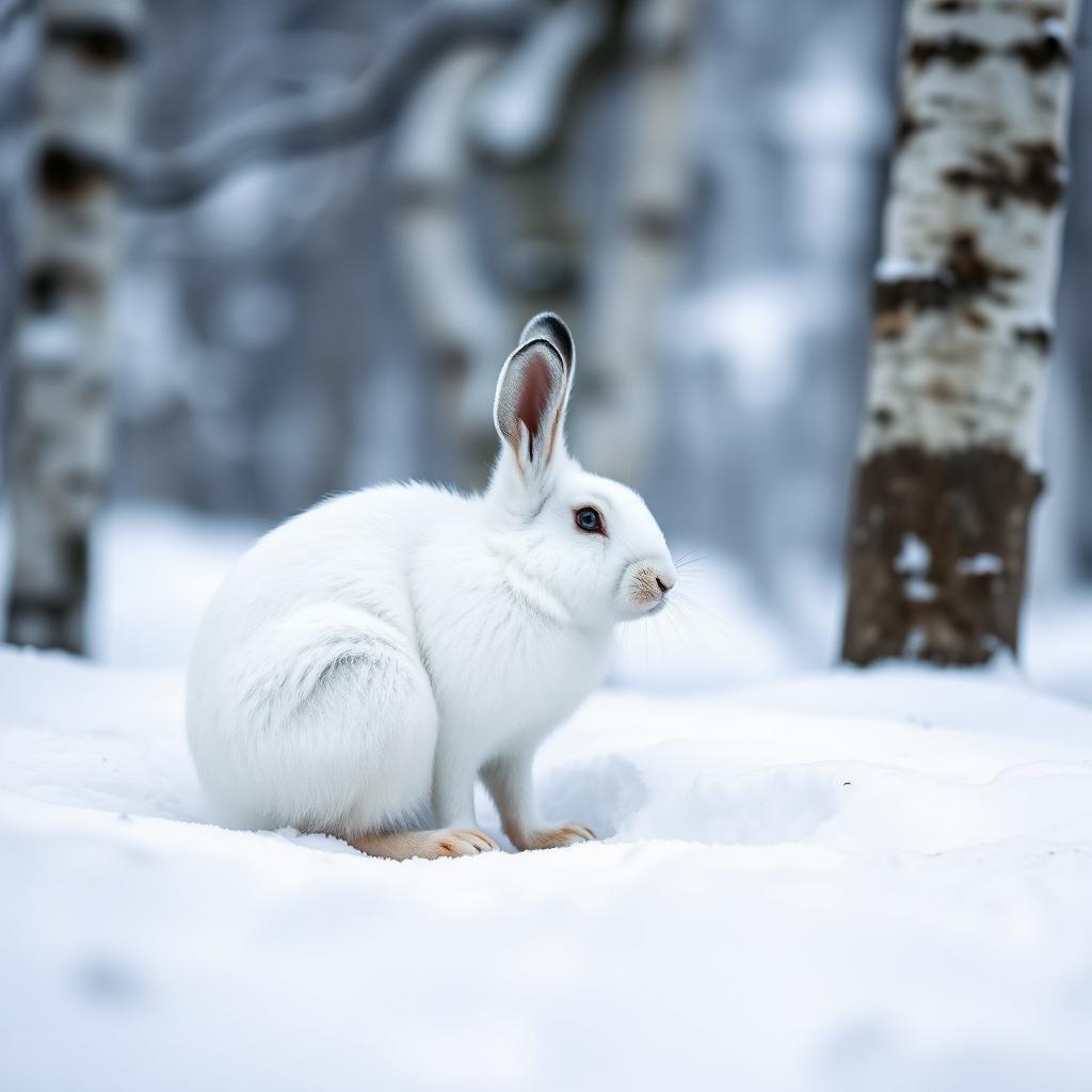 Wildlife guideSnowshoe hareLepus americanus
 Big gameBlack BearUrsus americanus
Maps, GPS & compass for this trip
Carry a waterproof paper map and a compass you can steer by, and treat the GPS as the backup — not the other way round. Buying links go to Amazon; Wild10 earns a commission at no cost to you.
Waterproof topo maps
- Waterproof topographic map — Cohutta WildernessAmazon search for waterproof, tear-resistant topo maps covering this area.
- National Geographic Trails IllustratedThe waterproof Trails Illustrated series — check for a sheet covering this area.
- Waterproof map case & compass lanyardKeep a paper map readable in rain, spray and a swamped boat.
Fishing at Cohutta Wilderness
Planning to fish Cohutta Wilderness, Georgia? Fishing licenses, open seasons and catch limits in Georgia are set by the local wildlife authority and change every year — check the official source before you cast a line.
Do I need a fishing license at Cohutta Wilderness?
- A Georgia fishing license is normally required for anyone over the local youth age.
- Read the current Georgia fishing regulations for special waters, barbless-hook or catch-and-release rules.
- Clean, drain and dry boats and gear between waters to stop invasive species.
- Cohutta Wilderness may add its own fishing rules on top of Georgia law — check the managing agency too.
Hunting near Cohutta Wilderness
Thinking about hunting Cohutta Wilderness, Georgia? Hunting seasons, tags and draws in Georgia are set by the wildlife authority each year. Confirm the rules for your species and unit before you go.
Is hunting allowed at Cohutta Wilderness?
- Hunting is prohibited or heavily restricted in many national parks, wilderness and protected areas — confirm with the Cohutta Wilderness land manager before planning a hunt, and look to surrounding public land.
What do I need to hunt in Georgia?
- A Georgia hunting license — most jurisdictions also require hunter education certification.
- Species tags or draw results for big game such as deer, elk, moose or bear where they occur.
- Knowledge of firearm and bow transport rules, which differ by land type and border crossing.
A wilderness spanning Georgia and Tennessee
Cohutta Wilderness covers 36,977 acres across the Georgia–Tennessee line, with most of its acreage in Georgia. Approximately 35,268 acres lie within the Chattahoochee National Forest, while about 1,709 acres extend into Tennessee’s Cherokee National Forest. For a Georgia trip, that makes Cohutta a destination whose boundaries reach beyond both the state and a single national forest. It is part of the National Wilderness Preservation System, rather than simply a general recreation area within national forest land. Keep those distinctions in mind when planning: the wilderness, its surrounding management area, and the two national forests are different geographic units. A useful starting point is a current map that clearly distinguishes the wilderness boundary from the broader surrounding public lands.
Part of a larger protected landscape
Cohutta does not stand alone as an isolated protected tract. The surrounding Cohutta Wildlife Management Area covers 96,583 acres, and the bordering Big Frog Wilderness adds another 8,082 acres to the regional picture. Together, these lands form a protected landscape spanning more than 100,000 acres, among the largest contiguous protected areas in the eastern United States. That scale is useful context, but it should not be mistaken for the size of Cohutta Wilderness itself. When choosing an outing, distinguish a destination inside Cohutta from one elsewhere in the surrounding landscape. The shared Cohutta name can obscure that difference. Plan around the specific land unit being visited, and confirm its access arrangements rather than treating the entire region as one interchangeable destination.
Designation, management, and trip preparation
Cohutta Wilderness was designated in 1975 and expanded in 1986. Today, the United States Forest Service manages it through the Conasauga Ranger District. That district is the appropriate starting point for confirming practical details before committing to an itinerary. Ask about current access, route conditions, and any permit or other requirements that apply to the intended visit. Wilderness acreage alone does not establish how far an outing will be, how difficult a route is, or where a vehicle can reach the boundary. Build the trip around a verified access point and a mapped route, not the overall size of the protected landscape. Keep travel directions and on-foot navigation separate so that reaching the area is not confused with reaching a suitable starting point.
Sample itineraries
- Cohutta day hike · 1 day
Plan a day hike in the Georgia portion of Cohutta Wilderness within Chattahoochee National Forest. Confirm an appropriate trail and access point with the Conasauga Ranger District before departure. Choose a turnaround time that leaves room for delays.
- Cohutta overnight · 2 days
Plan an overnight wilderness trip after confirming a suitable route, camping rules and water availability with the Conasauga Ranger District. Keep the itinerary within your group's navigation and carrying abilities; do not assume developed facilities will be available.
Seasonal conditions
Spring
Spring; check conditions before choosing dates
Use a current local forecast and ranger guidance to select your route. Check water availability and access conditions rather than assuming the season guarantees suitable hiking or camping.
Summer
Summer; check conditions before choosing dates
Adjust walking time, drinking water and clothing to the forecast. Confirm water sources before committing to an overnight itinerary.
Fall
Fall; check conditions before choosing dates
Plan daily mileage around available daylight and the forecast. Carry layers and confirm route conditions before departure rather than relying on general expectations of fall weather.
Winter
Winter; check conditions before choosing dates
Confirm access and expected temperatures before traveling. Match shelter, clothing and trip length to the forecast; shorten or postpone the trip if conditions exceed your equipment or experience.
| Season | Window | Conditions |
|---|---|---|
| Spring | Spring; check conditions before choosing dates | Use a current local forecast and ranger guidance to select your route. Check water availability and access conditions rather than assuming the season guarantees suitable hiking or camping. |
| Summer | Summer; check conditions before choosing dates | Adjust walking time, drinking water and clothing to the forecast. Confirm water sources before committing to an overnight itinerary. |
| Fall | Fall; check conditions before choosing dates | Plan daily mileage around available daylight and the forecast. Carry layers and confirm route conditions before departure rather than relying on general expectations of fall weather. |
| Winter | Winter; check conditions before choosing dates | Confirm access and expected temperatures before traveling. Match shelter, clothing and trip length to the forecast; shorten or postpone the trip if conditions exceed your equipment or experience. |
Permits, fees & closures
Confirm current permit requirements, camping rules and any reservation requirements with the U.S. Forest Service's Conasauga Ranger District.
Confirm current permits, fees, and closures with the managing agency before you go.
Hazards & regulations
- Weather exposure: carry protection suited to the current forecast and leave room to change plans.
- Water planning: confirm source availability, carry sufficient drinking water and treat collected water.
- Wildlife encounters: keep your distance, never feed animals and confirm appropriate food-storage practices with the managing agency.
What to pack for Cohutta Wilderness
- Map covering your confirmed route
- Compass and knowledge of how to use it
- Offline navigation backup
- Written itinerary shared with a trusted contact
- Forecast-appropriate layers
- Rain protection
- Headlamp
- First-aid kit
- Emergency shelter
- Drinking water and carrying capacity
- Water treatment
- Food and agency-recommended storage
- Shelter and sleep system appropriate to the forecast
Cohutta Wilderness FAQ
- Where is Cohutta Wilderness?
- Cohutta Wilderness spans Georgia and Tennessee. Its Georgia acreage lies within Chattahoochee National Forest; its Tennessee acreage lies within Cherokee National Forest.
- How large is the wilderness?
- Cohutta Wilderness covers 36,977 acres, with approximately 35,268 acres in Georgia and 1,709 acres in Tennessee.
- Who manages Cohutta Wilderness?
- The U.S. Forest Service's Conasauga Ranger District manages the wilderness. Contact the district to confirm access, route conditions and current trip requirements.
- Is Cohutta Wilderness the same as Cohutta Wildlife Management Area?
- No. The 36,977-acre wilderness is distinct from the surrounding 96,583-acre Cohutta Wildlife Management Area. Big Frog Wilderness borders Cohutta Wilderness.
- When was Cohutta designated as wilderness?
- Cohutta Wilderness was designated in 1975 and expanded in 1986. It is part of the National Wilderness Preservation System.