



Where on earth
Satellite imagery flying in from a world view to Joyce Kilmer-Slickrock Wilderness, United States. Use the + / − buttons, or click the map to zoom with your scroll wheel; drag to pan and pinch to zoom on touch.
- Region
- North Carolina / Tennessee, USA
- Country
- United States
- Biome
- Southern Appalachian old growth (600–1,600 m)
- Best season
- April – November
- Difficulty
- moderate
- Backpacking
- Hiking
Key takeaways
- Biome: Southern Appalachian old growth (600–1,600 m)
- Best season: April – November
- Difficulty: moderate
- Top activity: backpacking
Photos of Joyce Kilmer-Slickrock Wilderness
Topic summary
Old-growth tulip poplar and hemlock in the Unicoi Mountains — one of the last big-tree stands in the East.
Key takeaways
- Difficulty: moderate
- Best season: April – November
Intended uses
backpacking
Climate suitability
Southern Appalachian old growth (600–1,600 m)
Tools for a trip here
Picked for how, when and where you're going. Free, no signup.
- Sleep System Temp CalculatorCold nights: check your bag and pad add up to a safe sleep.
- Base Weight CalculatorEvery ounce is carried — total your kit and find your base weight.
- Pack Volume SizerSize the pack for your trip length and season.
- Water Purification MatrixTreat water from streams and lakes on trail.
- Layering CalculatorCold-season miles: layer for climbs and camp.
Plan with verified data
Joyce Kilmer-Slickrock Wilderness trip tools
How to get there
The wilderness spans Nantahala National Forest in western North Carolina and Cherokee National Forest in East Tennessee. Choose a Little Santeetlah or Slickrock watershed approach and confirm road directions and the appropriate trailhead with the Forest Service before traveling.
- Joyce Kilmer Memorial Forest
A planning focus along Little Santeetlah Creek for visiting old-growth cove hardwood forest. Confirm the designated visitor access and trailhead with the Forest Service.
- Slickrock Creek watershed
The wilderness’s northeast-draining watershed, containing mature second-growth forest and old growth in its upper reaches. This is a broad approach area, not a specified trailhead; confirm a suitable entry point before travel.
Sources: Wikipedia · Wikivoyage. Confirm road and trailhead conditions with the managing agency before you leave.
Popular pursuits at Joyce Kilmer-Slickrock Wilderness
- Backpacking
Multi-day travel with everything on your back — see the packing blocks below.
- Hiking
Day miles on marked trail, with route notes and trail links below.
Animals around Joyce Kilmer-Slickrock Wilderness
 Wildlife guideBlack bearUrsus americanus
 Big gameWhitetail DeerOdocoileus virginianus
 GamefishLargemouth BassMicropterus nigricans
 Wildlife guideNorth American beaverCastor canadensis
 Big gameWild HogSus scrofa
 GamefishRed DrumSciaenops ocellatus
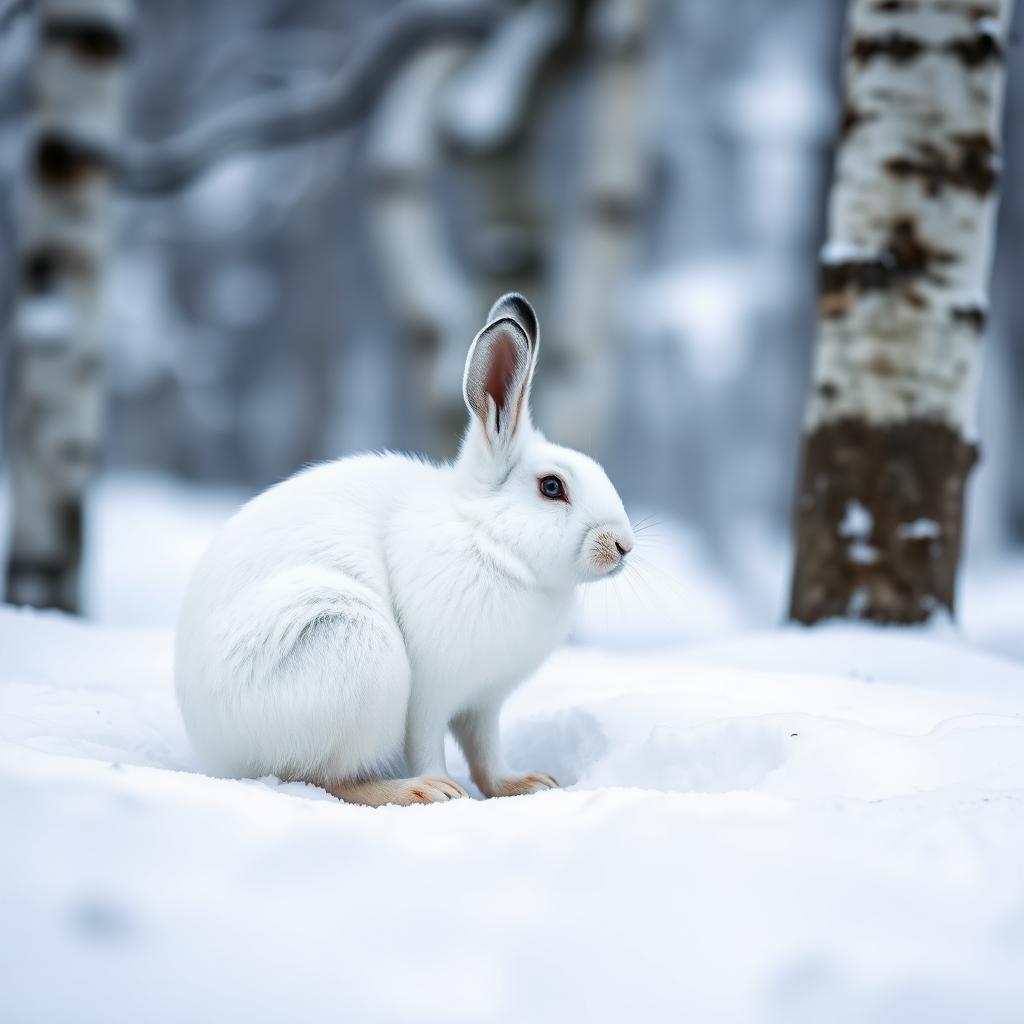 Wildlife guideSnowshoe hareLepus americanus
 Big gameBlack BearUrsus americanus
Maps, GPS & compass for this trip
Carry a waterproof paper map and a compass you can steer by, and treat the GPS as the backup — not the other way round. Buying links go to Amazon; Wild10 earns a commission at no cost to you.
Waterproof topo maps
- Waterproof topographic map — Joyce Kilmer-Slickrock WildernessAmazon search for waterproof, tear-resistant topo maps covering this area.
- National Geographic Trails IllustratedThe waterproof Trails Illustrated series — check for a sheet covering this area.
- Waterproof map case & compass lanyardKeep a paper map readable in rain, spray and a swamped boat.
Fishing at Joyce Kilmer-Slickrock Wilderness
Planning to fish Joyce Kilmer-Slickrock Wilderness, North Carolina? Fishing licenses, open seasons and catch limits in North Carolina are set by the local wildlife authority and change every year — check the official source before you cast a line.
Do I need a fishing license at Joyce Kilmer-Slickrock Wilderness?
- A North Carolina fishing license is normally required for anyone over the local youth age.
- Read the current North Carolina fishing regulations for special waters, barbless-hook or catch-and-release rules.
- Clean, drain and dry boats and gear between waters to stop invasive species.
- Joyce Kilmer-Slickrock Wilderness may add its own fishing rules on top of North Carolina law — check the managing agency too.
Hunting near Joyce Kilmer-Slickrock Wilderness
Thinking about hunting Joyce Kilmer-Slickrock Wilderness, North Carolina? Hunting seasons, tags and draws in North Carolina are set by the wildlife authority each year. Confirm the rules for your species and unit before you go.
Is hunting allowed at Joyce Kilmer-Slickrock Wilderness?
- Hunting is prohibited or heavily restricted in many national parks, wilderness and protected areas — confirm with the Joyce Kilmer-Slickrock Wilderness land manager before planning a hunt, and look to surrounding public land.
What do I need to hunt in North Carolina?
- A North Carolina hunting license — most jurisdictions also require hunter education certification.
- Species tags or draw results for big game such as deer, elk, moose or bear where they occur.
- Knowledge of firearm and bow transport rules, which differ by land type and border crossing.
Two watersheds across the state line
Joyce Kilmer-Slickrock Wilderness covers 19,246 acres in western North Carolina and East Tennessee, spanning the Nantahala and Cherokee national forests. Created in 1975, it protects mountain country within the Slickrock Creek and Little Santeetlah Creek watersheds. Both creeks begin high in the Unicoi Mountains on opposite slopes of Bob Stratton Bald, a 5,360-foot grassy bald overlooking the wilderness’s southwest corner. Slickrock flows northeast toward the Little Tennessee River, while Little Santeetlah flows southeast toward Santeetlah Creek. That split gives the wilderness two distinct geographic areas to consider when planning a visit. It also borders Citico Creek Wilderness on the Tennessee side. Choose the watershed first, then confirm the appropriate trailhead and current approach with the Forest Service rather than treating the entire wilderness as one arrival point.
Old-growth forest and a complicated logging history
The Little Santeetlah and Slickrock watersheds contain 5,926 acres of old-growth forest, one of the largest such tracts in the eastern United States. Within that landscape, Joyce Kilmer Memorial Forest protects a rare Appalachian old-growth cove hardwood forest. Tulip poplar, eastern hemlock, red and white oak, American basswood, American beech, and American sycamore are among its dominant trees. Many trees are more than 400 years old; the largest exceed 100 feet in height and reach circumferences of 20 feet. Slickrock has a different history: logging affected roughly two-thirds of its watershed before Calderwood Dam flooded railroad access in 1922. Much of the basin now supports mature second-growth forest, with a substantial old-growth stand remaining in the upper watershed. Expect differences in forest character rather than uninterrupted ancient trees.
Choosing the focus of a visit
For a visit centered on large old trees, make Joyce Kilmer Memorial Forest the focus of planning. The Forest Service dedicated this 3,800-acre patch along Little Santeetlah Creek in 1936, following a request from the Veterans of Foreign Wars to honor Joyce Kilmer, the poet and journalist killed in World War I. For a broader mountain outing, consider the Slickrock watershed or the high country around Bob Stratton Bald, but establish a verified trail itinerary before setting out. These are different landscape objectives, not interchangeable routes. Mountain weather and the contrast between creek valleys and higher ground call for adaptable layers, navigation tools, and a water plan. Confirm current access and trail conditions with the Forest Service; do not infer trail connections from the proximity of creeks, ridges, or neighboring wilderness.
Route options
- Joyce Kilmer Memorial Forest visit
A forest-focused outing along the Little Santeetlah Creek area, emphasizing large, old cove hardwood trees. Obtain a current trail map to select a defined walking route.
- Upper Slickrock watershed exploration
A planning objective for seeing the upper watershed’s old-growth stand and the basin’s contrasting forest history. Confirm trail access and a complete itinerary before committing to this area.
- Bob Stratton Bald high-country outing
A high-country objective around the 5,360-foot grassy bald above the wilderness’s southwest corner, where the two principal creeks rise on opposite slopes. Verify the approach and trail connections before departure.
Sample itineraries
- Joyce Kilmer Memorial Forest: Old-Growth Day · 1 day
Focus a day on the Joyce Kilmer Memorial Forest along Little Santeetlah Creek. Look for the cove hardwood forest’s tulip poplars, hemlocks, oaks, and beeches. Many trees exceed 400 years in age. Confirm current walking routes and access with the managing national forest before setting out.
- Two Watersheds, Two Forest Histories · 2 days
Spend one day exploring the Little Santeetlah forest and another visiting the Slickrock Creek watershed. Compare the memorial forest’s old growth with Slickrock’s predominantly mature second-growth forest. Plan each day separately using current agency maps; this is not a specified connecting route or overnight backpacking itinerary.
Seasonal conditions
Spring
Spring mountain conditions
Plan for changing temperatures and wet conditions in these mountain watersheds. Check the forecast at the elevations you intend to visit, and reassess creekside plans after rain.
Summer
Summer forest outings
Carry drinking water and rain protection even for a forest-focused day. Shade does not eliminate warm-weather exertion, and conditions higher in the Unicoi Mountains can differ from those in the creek valleys.
Fall
Fall hardwood-forest outings
The diverse hardwood forest makes tree observation a useful focus. Bring layers for changing mountain temperatures and allow enough daylight for the return. Do not assume conditions in the valleys match those near Bob Stratton Bald.
Winter
Winter mountain conditions
Prepare for cold, shorter daylight, and potentially slippery footing. Check current access and weather before departure, especially for plans involving higher elevations. Choose an outing that leaves a generous return margin.
| Season | Window | Conditions |
|---|---|---|
| Spring | Spring mountain conditions | Plan for changing temperatures and wet conditions in these mountain watersheds. Check the forecast at the elevations you intend to visit, and reassess creekside plans after rain. |
| Summer | Summer forest outings | Carry drinking water and rain protection even for a forest-focused day. Shade does not eliminate warm-weather exertion, and conditions higher in the Unicoi Mountains can differ from those in the creek valleys. |
| Fall | Fall hardwood-forest outings | The diverse hardwood forest makes tree observation a useful focus. Bring layers for changing mountain temperatures and allow enough daylight for the return. Do not assume conditions in the valleys match those near Bob Stratton Bald. |
| Winter | Winter mountain conditions | Prepare for cold, shorter daylight, and potentially slippery footing. Check current access and weather before departure, especially for plans involving higher elevations. Choose an outing that leaves a generous return margin. |
Permits, fees & closures
Confirm current permit requirements, camping rules, and access conditions with the managing agency for the Nantahala or Cherokee National Forest before your trip.
Confirm current permits, fees, and closures with the managing agency before you go.
Hazards & regulations
- Mountain weather and temperatures can change with elevation; valley conditions are not a reliable guide to higher ground.
- Rain can make creekside footing slippery. Reassess plans near Slickrock Creek and Little Santeetlah Creek when water conditions change.
- Higher-elevation outings require realistic turnaround decisions, particularly in cold weather or limited daylight.
- Do not assume a connection between named destinations is a maintained walking route. Verify routes and access on current agency maps.
What to pack for Joyce Kilmer-Slickrock Wilderness
- Current agency map covering the intended watershed
- Compass or offline navigation with backup power
- Written trip plan shared with a reliable contact
- Rain shell
- Insulating layers suited to the forecast
- Footwear with dependable traction
- Headlamp
- Drinking water
- Water treatment if replenishing from natural sources
- Food and an emergency reserve
- First-aid kit
Joyce Kilmer-Slickrock Wilderness FAQ
- Where is Joyce Kilmer-Slickrock Wilderness?
- It spans western North Carolina and East Tennessee within the Nantahala and Cherokee National Forests. Its 19,246 acres include the Slickrock Creek and Little Santeetlah Creek watersheds.
- Is the entire wilderness old-growth forest?
- No. The two watersheds contain 5,926 acres of old growth. The Joyce Kilmer Memorial Forest protects old-growth cove hardwood forest, while the Slickrock basin is primarily mature second growth, with substantial old growth in its upper watershed.
- How large are the memorial forest’s trees?
- Many are more than 400 years old. The largest exceed 100 feet in height and reach circumferences of up to 20 feet. Dominant trees include tulip poplar, eastern hemlock, red and white oak, American basswood, American beech, and American sycamore.
- What is Bob Stratton Bald?
- Bob Stratton Bald is a 5,360-foot grassy bald in the Unicoi Mountains overlooking the wilderness’s southwest corner. Slickrock Creek and Little Santeetlah Creek begin on opposite slopes.
- Why is the memorial forest named for Joyce Kilmer?
- Joyce Kilmer wrote the poem “Trees” and was killed in World War I. Following a Veterans of Foreign Wars request, the Forest Service selected an undisturbed 3,800-acre tract along Little Santeetlah Creek and dedicated the memorial forest in 1936.
- What protected area borders the wilderness?
- Citico Creek Wilderness borders Joyce Kilmer-Slickrock Wilderness within Tennessee’s Cherokee National Forest. Confirm any intended connection using current agency route information rather than assuming the boundary provides a walking route.