



Apostle Islands Archipelago
Navigate dense forests, historic lighthouses, and intricately carved sandstone sea caves spread across a remote archipelago in frigid Lake Superior.
Where on earth
Satellite imagery flying in from a world view to Apostle Islands Archipelago, United States. Use the + / − buttons, or click the map to zoom with your scroll wheel; drag to pan and pinch to zoom on touch.
- Region
- Wisconsin, USA
- Country
- United States
- Biome
- Lake Superior island archipelago, Wisconsin
- Best season
- Late June – early September
- Trip length
- 2–5 days
- Difficulty
- expert
- Canoeing
- Portaging
- Kayaking
- Sea Kayaking
- Beachcombing
- Backpacking
- Fishing
Key takeaways
- Biome: Lake Superior island archipelago, Wisconsin
- Best season: Late June – early September
- Trip length: 2–5 days
- Difficulty: expert
- Top activity: kayaking
- Key hazard: Lake Superior cold water — hypothermia in minutes, even in July
Topic summary
Navigate dense forests, historic lighthouses, and intricately carved sandstone sea caves spread across a remote archipelago in frigid Lake Superior.
Key takeaways
- Difficulty: expert
- Trip length: 2–5 days
- Best season: Late June – early September
- Permit required
- Meyers Beach to Sand Island — the classic sea-caves crossing
- Little Sand Bay to Oak, Stockton and Rocky islands — the sheltered inner loop
Intended uses
- kayaking
- canoe trips
- camping
Climate suitability
Lake Superior island archipelago, Wisconsin
Verification notes
Permit source: Recreation.gov — Apostle Islands wilderness permits. Last verified September 15, 2026.
Plan with verified data
Apostle Islands Archipelago trip tools
Route map
Put-in, take-out and named landmarks plotted from agency coordinates, with the source behind every point.
Open the Apostle Islands Sea Caves Crossing route mapRoute options
- Meyers Beach to Sand Island — the classic sea-caves crossing
- Little Sand Bay to Oak, Stockton and Rocky islands — the sheltered inner loop
- Outer island ring — multi-day, open-water crossings for experienced paddlers
Sample itineraries
- Sea caves weekend · 2 daysMeyers Beach to Sand Island and back — mainland sea caves, the Sand Island light and one reserved island campsite.
- Outer ring · 5 daysLittle Sand Bay to Oak, Stockton and Rocky islands — longer crossings and real Lake Superior weather.
Seasonal conditions
| Season | Window | Conditions |
|---|---|---|
| Spring | April – May | Ice can linger into May; water near freezing and weather highly unpredictable. |
| Summer | June – August | Peak season. Surface water only reaches the 50s–60s°F; fog and biting stable flies are common. |
| Autumn | September – October | Gale season: fast-building high-wind events and cold rain. Beautiful, but serious. |
| Winter | November – March | The lake ices over; paddling is not possible. |
Permits & closures
A wilderness camping permit is required for every overnight stay in the national lakeshore, reserved in advance through Recreation.gov. Day paddling the mainland caves needs no permit, but every island night does.
Official permit source: Recreation.gov — Apostle Islands wilderness permits · Verified 2026-09-15
Closures & advisories: NPS — Apostle Islands current conditions
Safety & stewardship
- Lake Superior cold water — hypothermia in minutes, even in July
- Squalls and steep, fast-building waves
- Falling rock and ice at the sea caves
- Black bears active on nearly every island
- Biting stable flies (unbothered by repellent)
- Long dead zones with no cell coverage behind the outer islands
Water: Lake Superior water is clear but must be filtered or treated for Giardia and Cryptosporidium. Check the NOAA marine forecast for western Lake Superior before every crossing.
Wildlife: One of the highest black-bear densities in the region — use the park's bear lockers or a canister. Bald eagles and migratory songbirds are everywhere; piping plover nesting beaches close seasonally.
Emergency planning: File a float plan with a shore contact, carry a VHF marine radio (Channel 16), and wear a whistle and signal mirror on your PFD. A dry suit or wetsuit is standard equipment here, not an upgrade.
Leave No Trace: Camp only at designated sites, store all food and scented items in the provided bear lockers or a bear canister, and leave glass containers at home.
Popular pursuits at Apostle Islands Archipelago
- Canoeing
Paddle routes, portages, and put-ins.
- Portaging
Carries between lakes — the real work of a canoe route.
- Kayaking
Sheltered and open-water paddling lines.
- Sea Kayaking
Coastal crossings, tides, and protected camps.
- Beachcombing
Tide-line walking between camps.
- Fishing
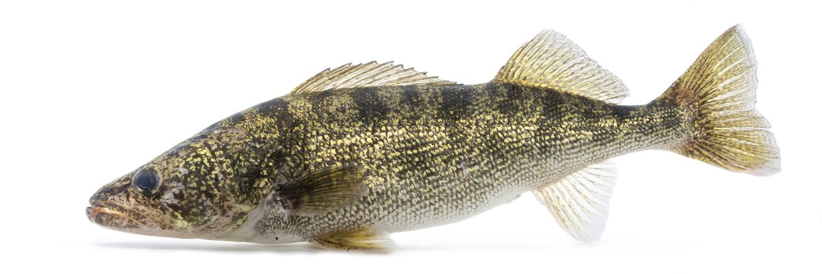
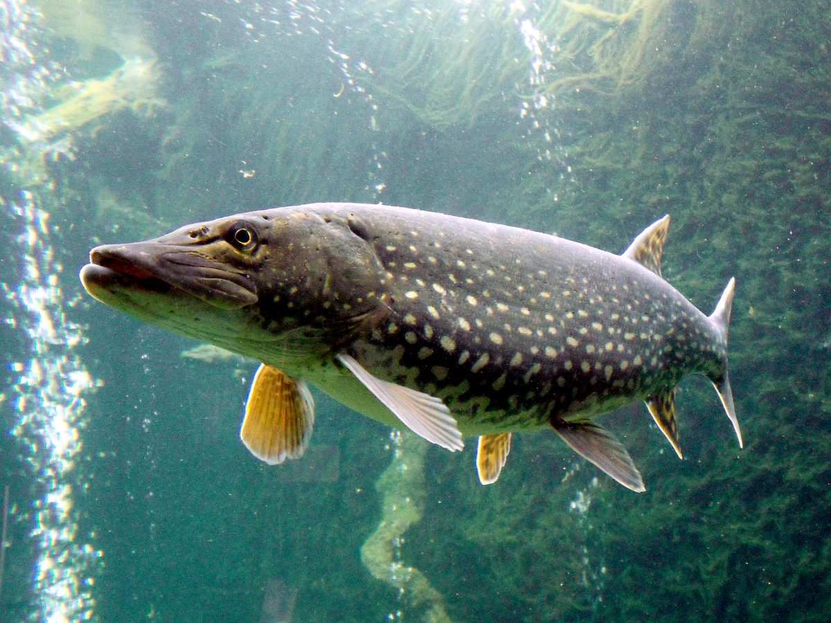
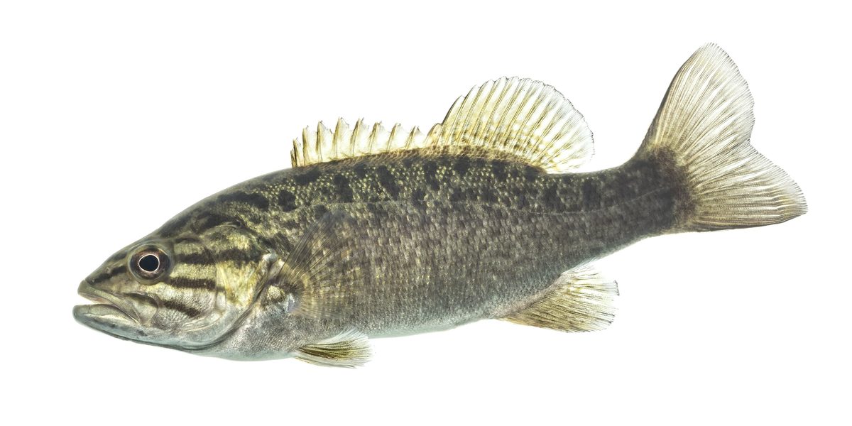
Resident gamefish, seasons, and the water that holds them.
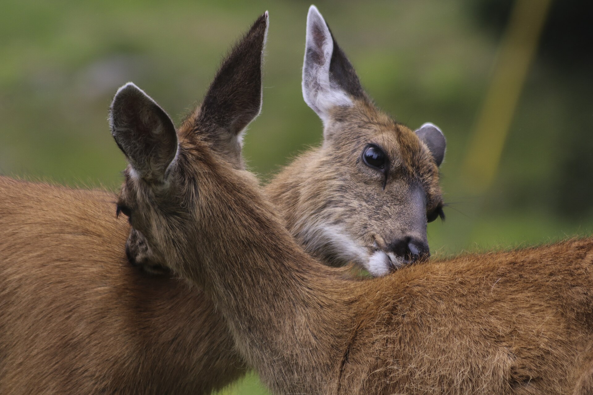
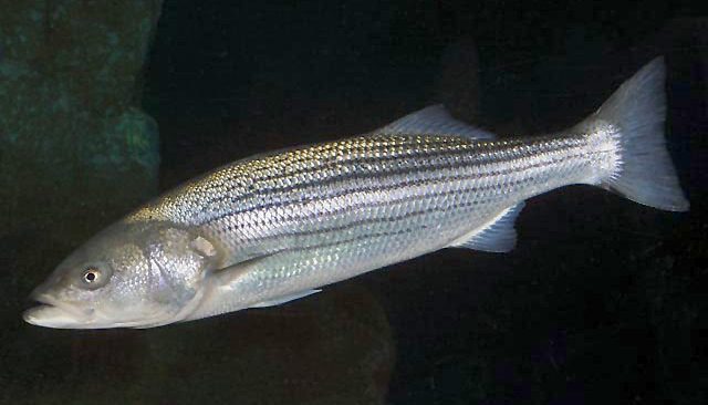
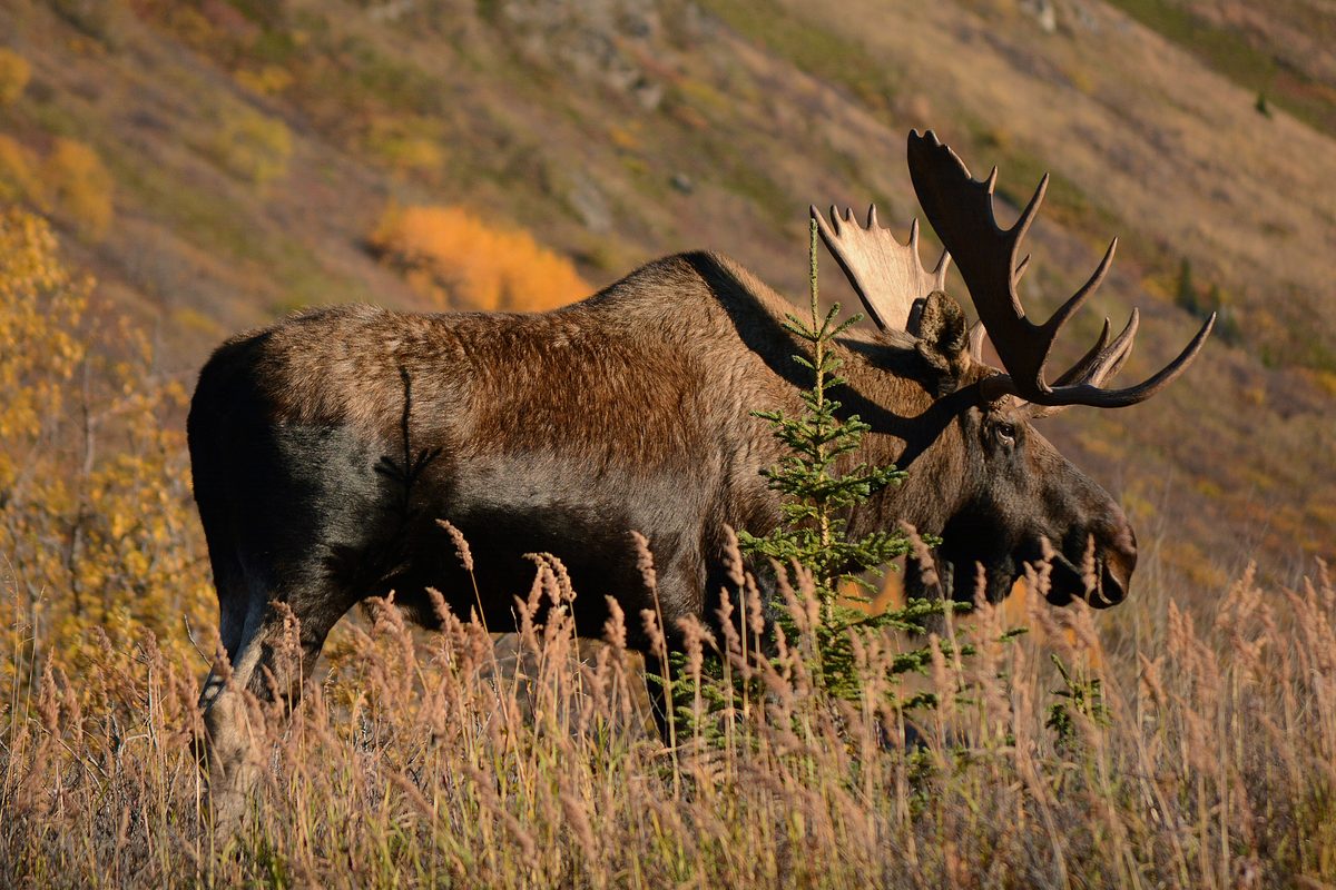
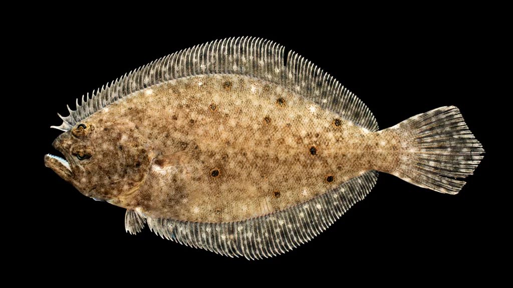
Animals around Apostle Islands Archipelago

Packing checklist
- Dry suit or wetsuit
- Spray skirt
- Bilge pump
- Spare paddle
- PFD with whistle
- NOAA chart 14973
- Compass
- GPS
- VHF marine radio
- Bear-resistant food canister
- Water filter
- Insect head net
- Synthetic layers
Recommended gear
Featured in these Top 10 lists
- Top 10 Extreme Canoe Trips in the U.S. — ranked #4
Browse every destination we cover in the Destination Hub.