



Where on earth
Satellite imagery flying in from a world view to Congaree National Park, United States. Use the + / − buttons, or click the map to zoom with your scroll wheel; drag to pan and pinch to zoom on touch.
- Region
- South Carolina, USA
- Country
- United States
- Biome
- Bottomland hardwood swamp (10–30 m)
- Best season
- October – April
- Difficulty
- moderate
- Backpacking
- Hiking
- Canoeing
- Kayaking
- Wildlife Viewing
- Fishing
Key takeaways
- Biome: Bottomland hardwood swamp (10–30 m)
- Best season: October – April
- Difficulty: moderate
- Top activity: backpacking
Photos of Congaree National Park
Topic summary
The largest intact old-growth bottomland hardwood forest in North America — 500-year-old bald cypress cathedral swamps.
Key takeaways
- Difficulty: moderate
- Best season: October – April
Intended uses
backpacking
Climate suitability
Bottomland hardwood swamp (10–30 m)
Verification notes
Permit source: NPS — Congaree camping.
Tools for a trip here
Picked for how, when and where you're going. Free, no signup.
- Sleep System Temp CalculatorCold nights: check your bag and pad add up to a safe sleep.
- Base Weight CalculatorEvery ounce is carried — total your kit and find your base weight.
- Pack Volume SizerSize the pack for your trip length and season.
- Water Purification MatrixTreat water from streams and lakes on trail.
- Layering CalculatorCold-season miles: layer for climbs and camp.
Plan with verified data
Congaree National Park trip tools
How to get there
Columbia, near South Carolina’s geographic center, provides regional access to Congaree National Park. Confirm the specific park entrance and driving directions before departure.
Sources: Wikipedia · Wikivoyage. Confirm road and trailhead conditions with the managing agency before you leave.
Popular pursuits at Congaree National Park
- Backpacking
Multi-day travel with everything on your back — see the packing blocks below.
- Hiking
Day miles on marked trail, with route notes and trail links below.
- Canoeing
Paddle routes, portages, and put-ins.
- Kayaking
Sheltered and open-water paddling lines.
- Wildlife Viewing
Best light, best season, and where animals move.
- Fishing
Resident gamefish, seasons, and the water that holds them.
Animals around Congaree National Park
 Wildlife guideBlack bearUrsus americanus
 Big gameWhitetail DeerOdocoileus virginianus
 GamefishLargemouth BassMicropterus nigricans
 Wildlife guideNorth American beaverCastor canadensis
 Big gameWild HogSus scrofa
 GamefishRed DrumSciaenops ocellatus
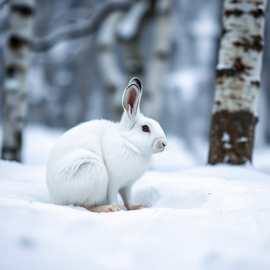 Wildlife guideSnowshoe hareLepus americanus
 Big gameBlack BearUrsus americanus
Maps, GPS & compass for this trip
Carry a waterproof paper map and a compass you can steer by, and treat the GPS as the backup — not the other way round. Buying links go to Amazon; Wild10 earns a commission at no cost to you.
Waterproof topo maps
- Waterproof topographic map — Congaree National ParkAmazon search for waterproof, tear-resistant topo maps covering this area.
- National Geographic Trails IllustratedThe waterproof Trails Illustrated series — check for a sheet covering this area.
- Waterproof map case & compass lanyardKeep a paper map readable in rain, spray and a swamped boat.
Fishing at Congaree National Park
Planning to fish Congaree National Park, South Carolina? Fishing licenses, open seasons and catch limits in South Carolina are set by the local wildlife authority and change every year — check the official source before you cast a line.
Do I need a fishing license at Congaree National Park?
- A South Carolina fishing license is normally required for anyone over the local youth age.
- Read the current South Carolina fishing regulations for special waters, barbless-hook or catch-and-release rules.
- Clean, drain and dry boats and gear between waters to stop invasive species.
- Congaree National Park may add its own fishing rules on top of South Carolina law — check the managing agency too.
Hunting near Congaree National Park
Thinking about hunting Congaree National Park, South Carolina? Hunting seasons, tags and draws in South Carolina are set by the wildlife authority each year. Confirm the rules for your species and unit before you go.
Is hunting allowed at Congaree National Park?
- Hunting is prohibited or heavily restricted in many national parks, wilderness and protected areas — confirm with the Congaree National Park land manager before planning a hunt, and look to surrounding public land.
What do I need to hunt in South Carolina?
- A South Carolina hunting license — most jurisdictions also require hunter education certification.
- Species tags or draw results for big game such as deer, elk, moose or bear where they occur.
- Knowledge of firearm and bow transport rules, which differ by land type and border crossing.
Congaree in central South Carolina
Congaree National Park is an outdoor destination in South Carolina, with Columbia serving as a regional starting point for planning a visit. Columbia sits near the geographic center of the state, at the fall line where the Broad and Saluda rivers meet to form the Congaree River. That setting provides useful geographic context, but it should not be treated as directions to a park entrance or a river access point. Build the park portion of a trip around confirmed access information rather than assuming that a route from the city follows the river. Before setting out, establish the correct arrival location, check current conditions, and choose an outing using current park guidance.
Using Columbia as a trip base
Columbia offers a city-based framework for a Congaree trip. It is South Carolina’s capital and home to the University of South Carolina, the South Carolina State House, and several cultural attractions. The South Carolina State Museum and Columbia Museum of Art provide options for a separate city day, while Congaree National Park, the Three Rivers Greenway, and Lake Murray are among the region’s outdoor destinations. Treat those outdoor places as separate outings rather than assuming they share entrances, trails, or water access. For a park-focused visit, settle the practical details first: where the day begins, how to reach that location, and what conditions allow. Then fit Columbia activities around the time left available.
Keeping the itinerary grounded
South Carolina spans several distinct geographic settings, from the Blue Ridge Mountains in the Upstate to subtropical beaches and marshlike sea islands along the coast. A Congaree itinerary belongs in a different planning context from a beach trip to Myrtle Beach or an Upcountry visit centered on Greenville and Clemson. Use Columbia and the Congaree River’s regional geography to orient the trip, then verify the park-specific details needed for the activity being considered. Confirm access, route suitability, and any permission requirements directly with the managing agency before committing to an outing. Do not assume that information about another South Carolina destination applies here. Leave room to change plans if current conditions do not suit the intended activity.
Sample itineraries
- Congaree day visit · 1 day
Plan a day at Congaree National Park, using Columbia as a nearby planning base. Confirm park access and suitable outings with the managing agency before choosing a route. Keep the schedule flexible rather than committing to an unverified trail or water trip.
- Columbia and Congaree · 2 days
Spend one day visiting Congaree National Park and another exploring Columbia. The South Carolina State Museum offers a city-based option; the Three Rivers Greenway offers another outdoor outing. Check access and conditions for each separately.
Seasonal conditions
Spring
Check conditions for your travel dates
Use the local forecast and current park guidance to choose an outing. Confirm access before building the day around a particular route.
Summer
Check conditions for your travel dates
Check the temperature forecast before setting your pace and water needs. Keep the itinerary flexible and carry sun protection.
Fall
Check conditions for your travel dates
Check the forecast and daylight hours before deciding how long to stay outdoors. Do not assume that seasonal timing alone guarantees suitable conditions.
Winter
Check conditions for your travel dates
Match clothing to the forecast and plan around available daylight. Confirm current park access rather than assuming every outing is available.
| Season | Window | Conditions |
|---|---|---|
| Spring | Check conditions for your travel dates | Use the local forecast and current park guidance to choose an outing. Confirm access before building the day around a particular route. |
| Summer | Check conditions for your travel dates | Check the temperature forecast before setting your pace and water needs. Keep the itinerary flexible and carry sun protection. |
| Fall | Check conditions for your travel dates | Check the forecast and daylight hours before deciding how long to stay outdoors. Do not assume that seasonal timing alone guarantees suitable conditions. |
| Winter | Check conditions for your travel dates | Match clothing to the forecast and plan around available daylight. Confirm current park access rather than assuming every outing is available. |
Hazards & regulations
- Weather exposure: check the local forecast and carry protection appropriate to the conditions.
- Water safety: if adding an outing along Columbia’s rivers, assess conditions separately and avoid entering unfamiliar water.
- Navigation: obtain current park maps before setting out; do not rely on a regional overview to select or follow a route.
What to pack for Congaree National Park
- Drinking water
- Food
- Comfortable outdoor footwear
- Small first-aid kit
- Forecast-appropriate layers
- Rain protection
- Sun protection
- Current park map
- Charged phone
- Offline access information
Congaree National Park FAQ
- Where is Congaree National Park?
- Congaree National Park is in South Carolina, United States. Columbia provides a regional base for accessing the park.
- How much time should a visit allow?
- A day visit can serve as a planning starting point. Allow two days if combining the park with Columbia, then refine the schedule after confirming access and choosing an outing.
- Which park route should be chosen?
- Ask the park’s managing agency for current maps and route guidance. Choose an outing that matches available time, fitness, and current conditions.
- What other outdoor options are around Columbia?
- Columbia provides access to the Three Rivers Greenway and Lake Murray as well as Congaree National Park. Treat these as separate outings with their own access and safety checks.
- What is Columbia’s connection to the Congaree River?
- Columbia developed where the Broad and Saluda rivers meet to form the Congaree River. That regional geography does not by itself establish a park access point or paddling route.