



Gates of the Arctic
8.4 million acres above the Arctic Circle with no roads, trails, or campgrounds — the most trackless park in the US.
Where on earth
Satellite imagery flying in from a world view to Gates of the Arctic, United States. Use the + / − buttons, or click the map to zoom with your scroll wheel; drag to pan and pinch to zoom on touch.
- Region
- Alaska, USA
- Country
- United States
- Biome
- Arctic granite (600–2,100 m)
- Best season
- June – August
- Difficulty
- moderate
- Backpacking
- Hiking
- Climbing
- Wildlife Viewing
- Winter Camping
- Canoeing
- Fishing
Key takeaways
- Biome: Arctic granite (600–2,100 m)
- Best season: June – August
- Difficulty: moderate
- Top activity: backpacking
Topic summary
8.4 million acres above the Arctic Circle with no roads, trails, or campgrounds — the most trackless park in the US.
Key takeaways
- Difficulty: moderate
- Best season: June – August
Intended uses
backpacking
Climate suitability
Arctic granite (600–2,100 m)
Verification notes
Last verified January 1, 1970.
Plan with verified data
Gates of the Arctic trip tools
Popular pursuits at Gates of the Arctic
- Backpacking
Multi-day travel with everything on your back — see the packing blocks below.
- Hiking
Day miles on marked trail, with route notes and trail links below.
- Climbing
Rock and alpine lines with approach beta.
- Wildlife Viewing
Best light, best season, and where animals move.
- Winter Camping
Cold-season travel and camp craft; layering matters more than mileage.
- Canoeing
Paddle routes, portages, and put-ins.
Animals around Gates of the Arctic

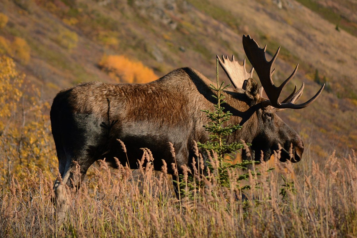
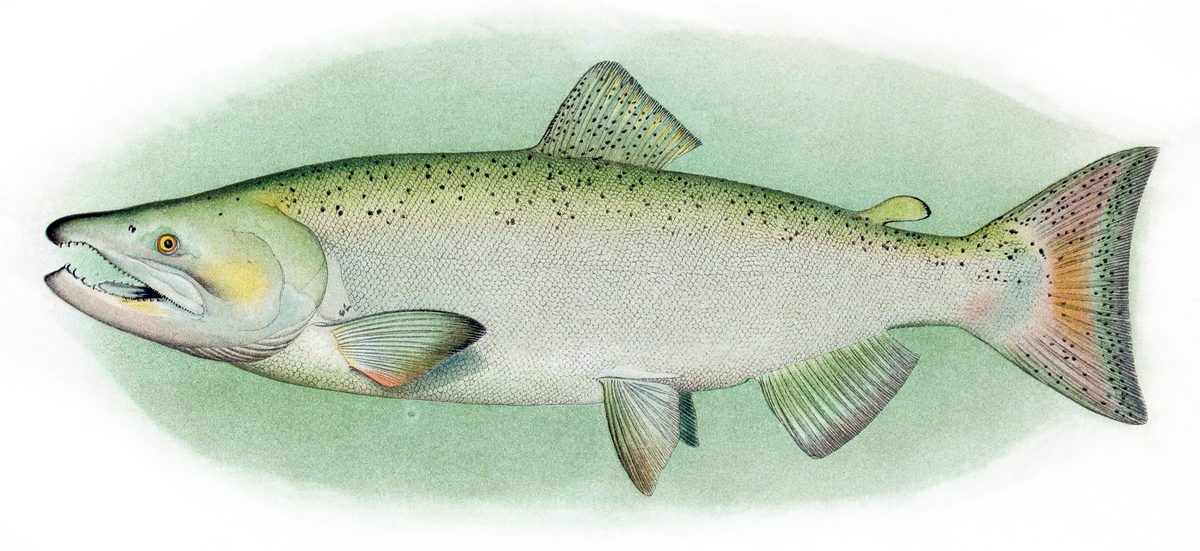

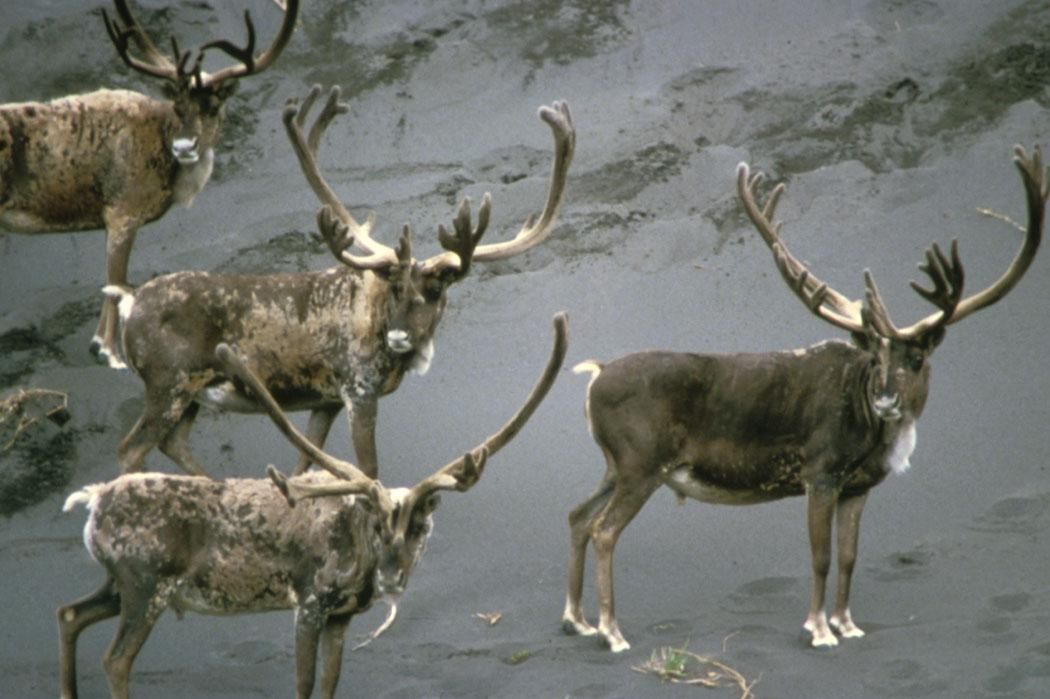
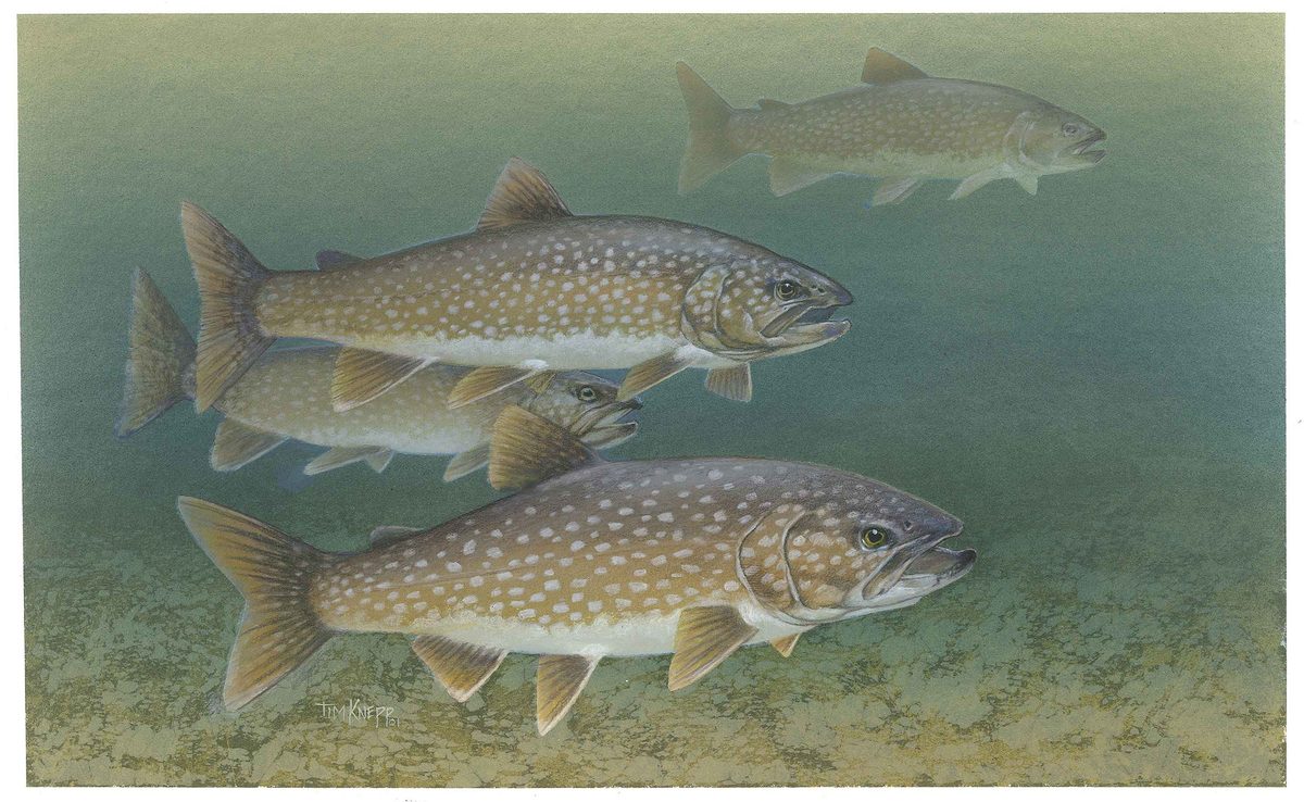

Featured in these Top 10 lists
- Top 10 US National Parks for Backcountry Travel — ranked #2
Browse every destination we cover in the Destination Hub.
The Ultimate Wilderness
Gates of the Arctic National Park and Preserve protects a vast area of the Central Brooks Range in northern Alaska. It stands as the northernmost national park in the United States, situated entirely above the Arctic Circle. Covering 8,472,506 acres, it is the second largest national park in the U.S. and one of the last truly wild places. Approximately 85% of the combined park and preserve is further protected as the Gates of the Arctic Wilderness, totaling 7,167,192 acres. This wilderness area adjoins the Noatak Wilderness, forming the largest contiguous wilderness in the United States. This remote park has no established roads or trails within its boundaries, offering an experience defined by its untouched nature and a chance to engage with traditional lifestyles that have thrived in the Brooks Range for generations.
Exploring the Remote Landscape
The park is primarily visited by those who travel by foot or float along the wild, scenic rivers that traverse the landscape. Six Wild and Scenic Rivers flow through Gates of the Arctic, offering unique opportunities for backcountry exploration. Visitors can learn about the ultimate wilderness and discover why this remote land was designated a national park and preserve. The terrain features tundra ponds, mountains, and rivers like the Alatna River, providing diverse natural settings for adventurous trips. The park's immense size and lack of infrastructure mean that any visit requires significant planning and self-sufficiency, appealing to those seeking a profound wilderness experience.
Seasonal Considerations
The Arctic environment presents distinct conditions throughout the year. Visitors should be prepared for variable weather and challenging terrain. The park's remote location north of the Arctic Circle results in extreme seasonal changes, from long daylight hours in summer to extended periods of darkness in winter. Understanding these seasonal shifts is crucial for planning any trip, as they influence accessibility, wildlife viewing, and necessary gear. Preparing for all possible conditions is essential for a safe and rewarding experience in this challenging environment.
Planning Your Adventure
Due to its extremely remote nature and lack of infrastructure, planning a trip to Gates of the Arctic requires thorough preparation. There are no roads or trails within the park, meaning access is typically via bush plane to remote landing strips or river bars. Visitors should be self-reliant and have experience in backcountry travel. Resources are available from the National Park Service to assist with planning a visit, including information on directions and options for getting to the park. Though challenging to reach, the park offers an unparalleled opportunity to experience pristine wilderness and observe natural processes undisturbed by human development.
Getting to Gates of the Arctic
Access to Gates of the Arctic National Park and Preserve is primarily by bush plane. There are no roads or trails that lead into or within the park.
Sample itineraries
- Backcountry Hiking or River Floating · 7 days
Immerse yourself in the vast wilderness by backpacking on foot or floating one of the park's wild and scenic rivers. This self-supported journey requires extensive wilderness skills and preparation, as there are no established trails or facilities. Visitors must arrange their own bush plane drop-off and pickup.
- Remote Wilderness Expedition · 10 days
Undertake an extended expedition into the park's interior, focusing on navigating through the untracked wilderness of the Brooks Range. This itinerary allows for deeper exploration of remote valleys, mountains, and rivers, demanding high levels of self-reliance, navigation expertise, and cold-weather preparedness.
Seasonal conditions
| Season | Window | Conditions |
|---|---|---|
| Spring | May - June | Transition from winter, with thawing rivers and increasing daylight. Snowmelt can lead to muddy conditions and high water levels in rivers. Wildlife becomes more active. |
| Summer | July - August | Long daylight hours, milder temperatures, and the most accessible period for river travel and hiking. Mosquitoes can be prevalent. Rivers are typically at their most floatable. |
| Fall | September - October | Changing foliage, cooler temperatures, and shorter days. Potential for early snowfalls. Wildlife may be preparing for winter migration. River levels can drop, and ice may begin to form. |
| Winter | November - April | Extreme cold, deep snow, and very short daylight hours or continuous darkness. Travel is challenging and typically involves skis or snowshoes. Rivers are frozen. Few visitors during this time. |
Permits, fees & closures
Confirm permit requirements directly with the National Park Service.
Official source: Gates of the Arctic National Park and Preserve · Verified September 5, 2026
Hazards & regulations
- Extreme cold and unpredictable weather
- Lack of established trails or infrastructure
- Remote wilderness environment with limited rescue capabilities
- Wildlife encounters (e.g., bears, caribou)
- River crossings and swift currents
- Mosquitoes and other insects during summer
What to pack for Gates of the Arctic
- Topographic maps
- Compass
- GPS device
- Satellite communication device
- First-aid kit
- Bear spray
- Four-season tent
- Warm sleeping bag (appropriate for Arctic temperatures)
- Insulated sleeping pad
- Layered clothing (synthetic or wool)
- Waterproof and windproof outer shells
- Warm hat and gloves
- High-calorie, non-perishable food
- Water filter or purification tablets
- Cook system and fuel
- Bear-resistant food container
- Packraft or kayak
- Life vest (PFD)
- Dry bags
- Repair kit for watercraft
Wildlife you may see
- Caribou
- Grizzly bears
- Black bears
- Wolves
- Moose
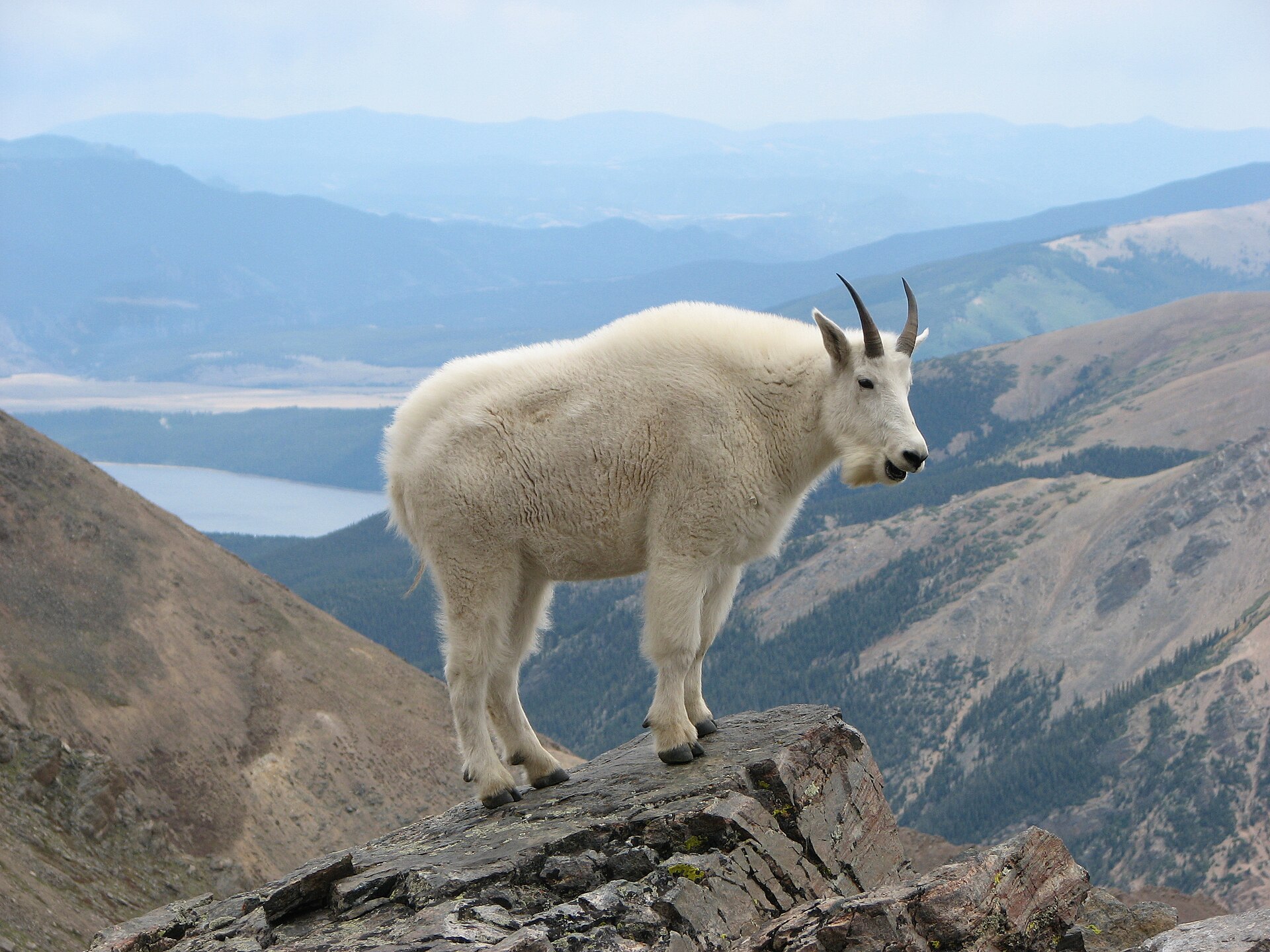
- Dall sheep
- Various bird species