



Pictured Rocks National Lakeshore
Mineral-stained sandstone cliffs loom over the pristine waters of Lake Superior, creating dramatic coastal vistas for backpackers and sea kayakers.
Where on earth
Satellite imagery flying in from a world view to Pictured Rocks National Lakeshore, United States. Use the + / − buttons, or click the map to zoom with your scroll wheel; drag to pan and pinch to zoom on touch.
- Region
- Michigan, USA
- Country
- United States
- Biome
- Great Lakes sandstone shore (180–300 m)
- Best season
- May – October
- Difficulty
- moderate
- Backpacking
- Hiking
- Canoeing
- Kayaking
- Sea Kayaking
- Beachcombing
- Wildlife Viewing
- Fishing
Key takeaways
- Biome: Great Lakes sandstone shore (180–300 m)
- Best season: May – October
- Difficulty: moderate
- Top activity: backpacking
Topic summary
Mineral-stained sandstone cliffs loom over the pristine waters of Lake Superior, creating dramatic coastal vistas for backpackers and sea kayakers.
Key takeaways
- Difficulty: moderate
- Best season: May – October
Intended uses
backpacking
Climate suitability
Great Lakes sandstone shore (180–300 m)
Verification notes
Last verified January 1, 1970.
Plan with verified data
Pictured Rocks National Lakeshore trip tools
Popular pursuits at Pictured Rocks National Lakeshore
- Backpacking
Multi-day travel with everything on your back — see the packing blocks below.
- Hiking
Day miles on marked trail, with route notes and trail links below.
- Canoeing
Paddle routes, portages, and put-ins.
- Kayaking
Sheltered and open-water paddling lines.
- Sea Kayaking
Coastal crossings, tides, and protected camps.
- Beachcombing
Tide-line walking between camps.
Animals around Pictured Rocks National Lakeshore
 Wildlife guideBlack bearUrsus americanus
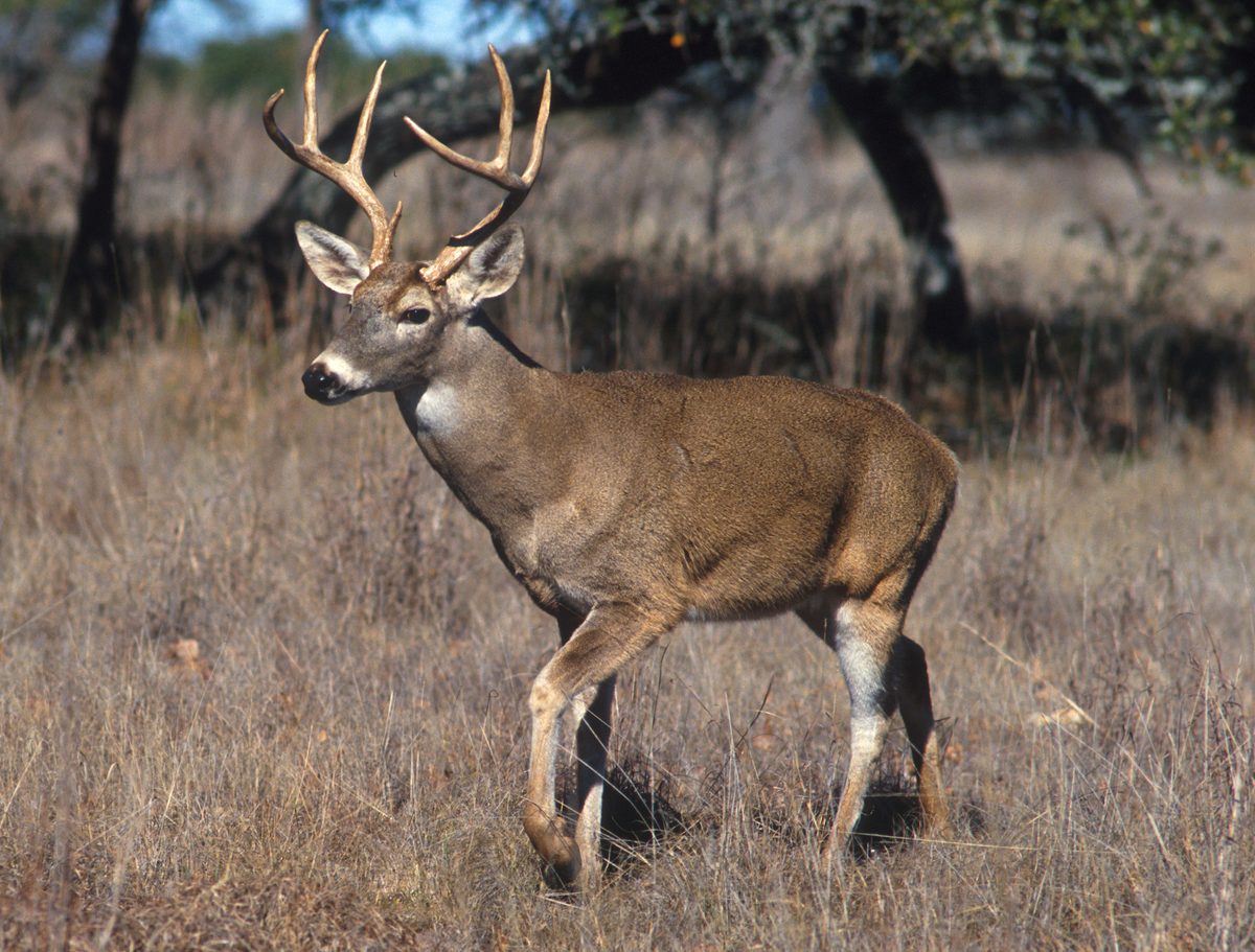 Big gameWhitetail DeerOdocoileus virginianus
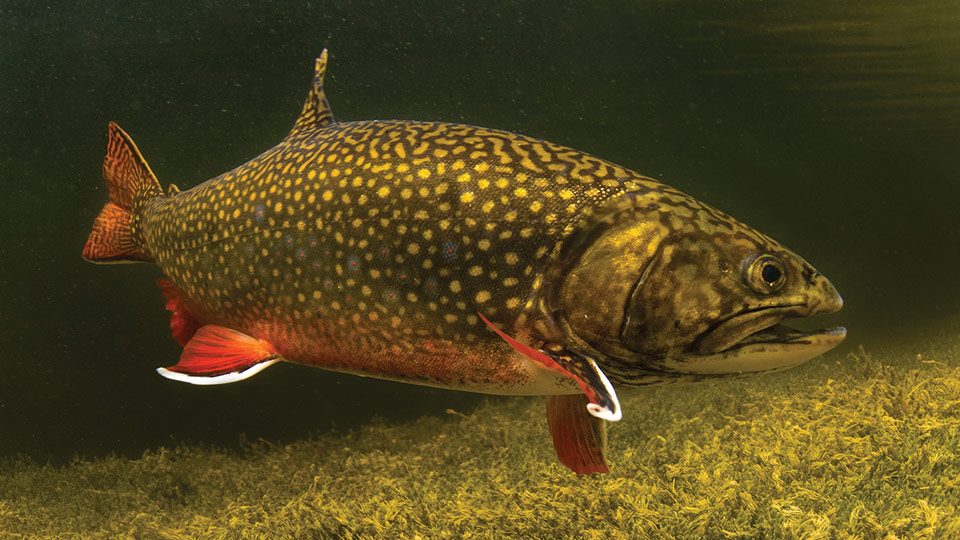 GamefishBrook TroutSalvelinus fontinalis
 Wildlife guideNorth American beaverCastor canadensis
 Big gameBlack BearUrsus americanus
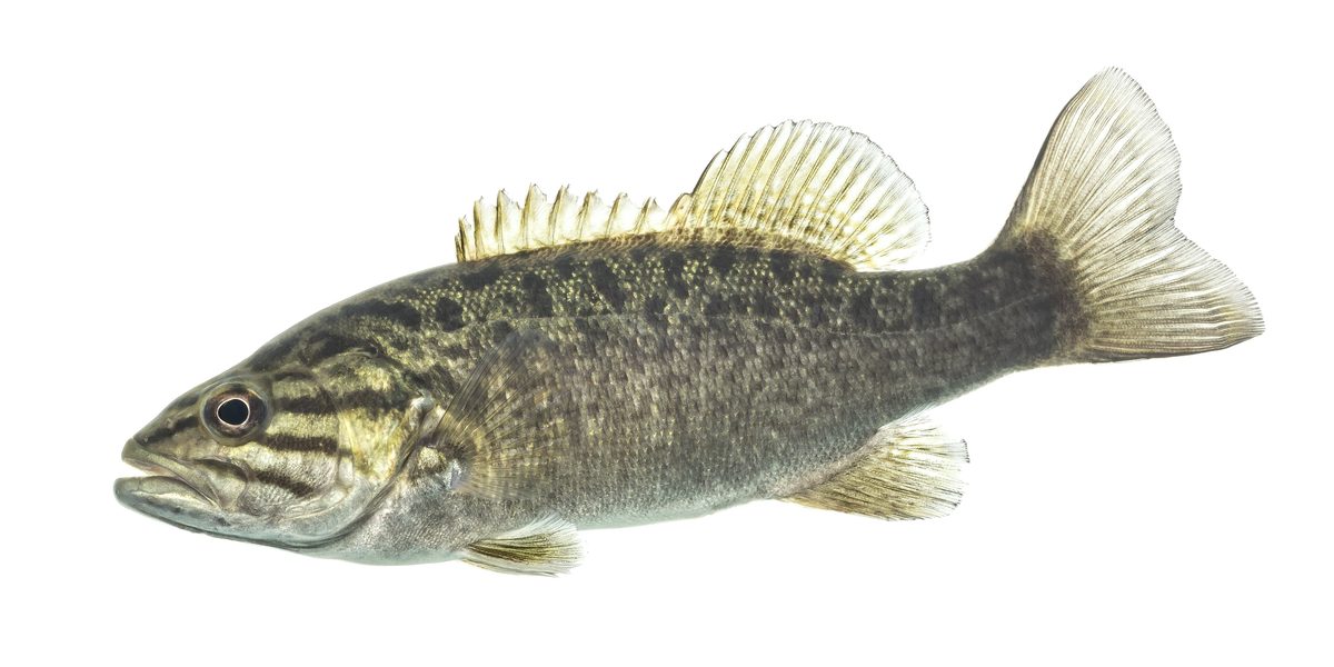 GamefishSmallmouth BassMicropterus dolomieu
 Wildlife guideSnowshoe hareLepus americanus
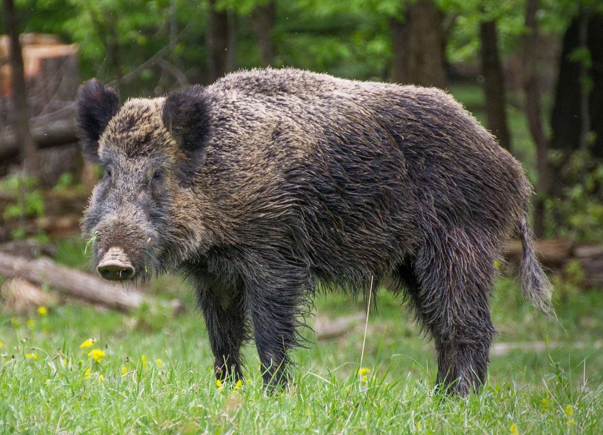 Big gameWild HogSus scrofa