



Yukon River: Eagle to Circle
About 158 roadless river miles of cold, powerful current through Yukon-Charley Rivers National Preserve — the classic interior Alaska canoe expedition.
Where on earth
Satellite imagery flying in from a world view to Yukon River: Eagle to Circle, United States. Use the + / − buttons, or click the map to zoom with your scroll wheel; drag to pan and pinch to zoom on touch.
- Region
- Yukon-Charley Rivers National Preserve, Alaska, USA
- Country
- United States
- Biome
- Interior Alaska boreal river corridor
- Best season
- Late June – August
- Trip length
- 7–10 days
- Difficulty
- expert
- Canoeing
- Portaging
- Bushcraft
- Camping
- Kayaking
- Rafting
- Hunting
- Sea Kayaking
Key takeaways
- Biome: Interior Alaska boreal river corridor
- Best season: Late June – August
- Trip length: 7–10 days
- Difficulty: expert
- Top activity: canoe trips
- Key hazard: Cold silty water — immersion is the primary killer on this river.
Topic summary
About 158 roadless river miles of cold, powerful current through Yukon-Charley Rivers National Preserve — the classic interior Alaska canoe expedition.
Key takeaways
- Difficulty: expert
- Trip length: 7–10 days
- Best season: Late June – August
- Eagle to Circle — about 158 river miles, the full preserve reach and the standard trip.
- Eagle to Coal Creek / Slaven's Roadhouse — roughly the upper half, for parties who arrange a pickup mid-route.
Intended uses
- canoe trips
- bushcraft camping
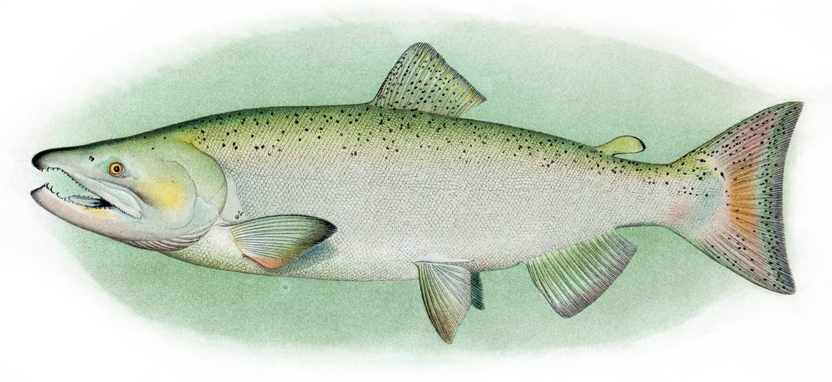
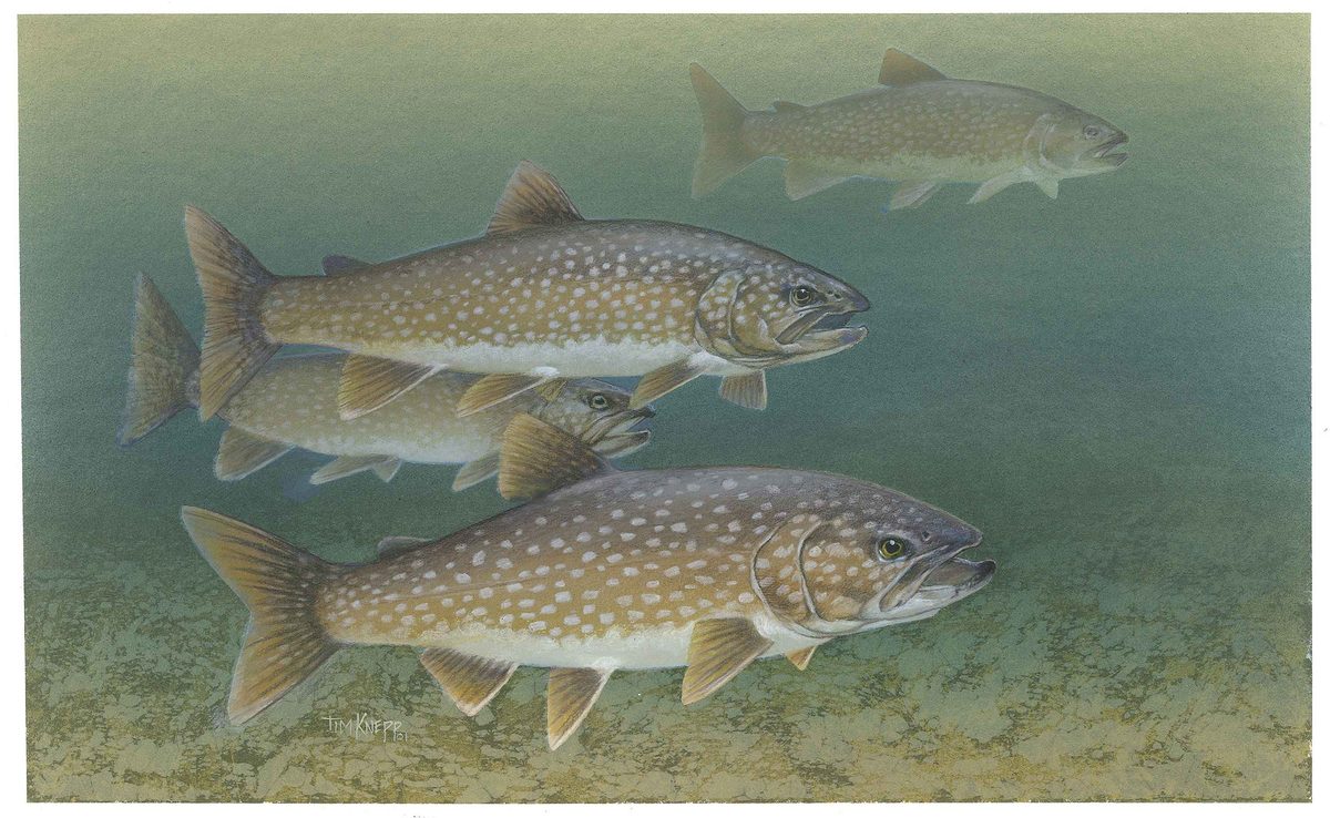
- fishing
Climate suitability
Interior Alaska boreal river corridor
Verification notes
Permit source: Yukon-Charley Rivers permits and reservations. Last verified September 15, 2026.
Plan with verified data
Yukon River: Eagle to Circle trip tools
Route map
Put-in, take-out and named landmarks plotted from agency coordinates, with the source behind every point.
Open the Yukon River: Eagle to Circle route mapRoute options
- Eagle to Circle — about 158 river miles, the full preserve reach and the standard trip.
- Eagle to Coal Creek / Slaven's Roadhouse — roughly the upper half, for parties who arrange a pickup mid-route.
- Charley River add-on — a fly-in to the Charley and a float out to the Yukon, for expedition parties with charter budget.
Sample itineraries
- Standard Eagle-to-Circle float · 8 daysLaunch at Eagle, average 20–25 river miles a day with two weather-buffer days, visit Slaven's Roadhouse at Coal Creek, and take out at Circle with a pre-booked shuttle back to Fairbanks.
- Unhurried ten-day · 10 daysThe same reach at a slower pace, with layover days for hiking the bluffs above the Charley confluence and fishing the clear-water tributary mouths.
Seasonal conditions
| Season | Window | Conditions |
|---|---|---|
| Spring | Ice-out (typically May) – mid-June | Break-up ice, high silty water and heavy driftwood. Cold-water immersion is the dominant risk; most parties wait for the river to drop and clear. |
| Summer | Late June – August | The working window: long daylight, open water and the most reliable shuttle service. Expect warm days, cold rain, mosquitoes and strong upstream wind that can stop travel outright. |
| Autumn | September | Fast-shortening days, hard frosts and the start of freeze-up on side sloughs. Shuttles thin out. A trip here needs winter-grade sleep and immersion gear. |
| Winter | October – April | The river freezes. No paddling. Travel in the preserve shifts to snowmachine and dog team on established routes. |
Permits & closures
The National Park Service does not require a permit to float the Yukon through the preserve or to camp on it. Commercial and guided operations do need authorization, and public-use cabins have their own rules. Confirm the current posting before you go.
Official permit source: Yukon-Charley Rivers permits and reservations · Verified 2026-09-15
Closures & advisories: Yukon-Charley Rivers safety · Verified 2026-09-15
Safety & stewardship
- Cold silty water — immersion is the primary killer on this river.
- Braided channels, sweepers and submerged driftwood.
- Strong upstream wind that can halt a loaded canoe for hours.
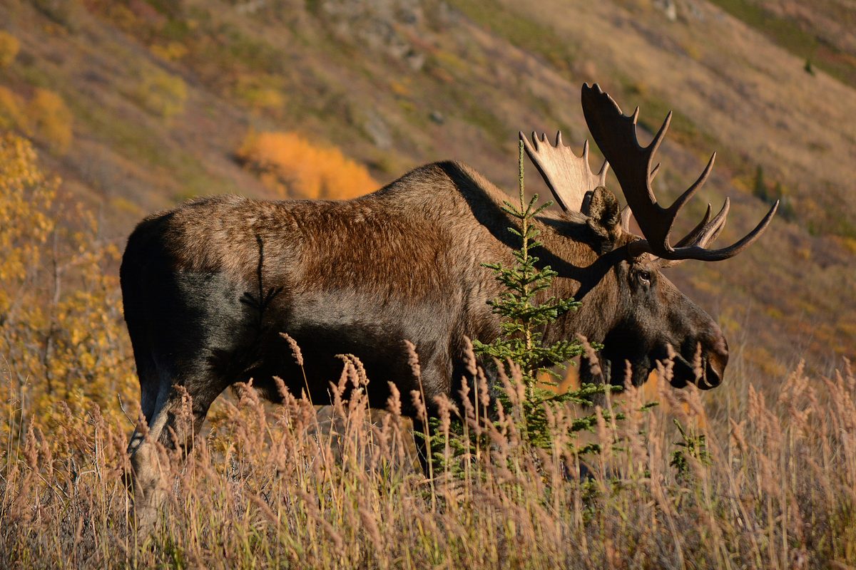
- Grizzly and black bear; moose in the willow shore zone.
- No cell coverage and multi-day evacuation timelines.
Water: Heavy glacial silt. Settle water in a container overnight and filter off the top, or you will clog filters in a day. Clear tributary mouths are the easier draw.
Wildlife: Grizzly and black bear, moose, wolves, peregrine falcons on the Charley bluffs, and heavy waterfowl movement. Bear-resistant food storage, clean gravel-bar camps, no food in tents.
Emergency planning: Carry a satellite communicator and file a float plan with the Eagle NPS office and someone at home. Self-rescue is the realistic plan for the first day of any incident.
Leave No Trace: Camp on gravel bars and durable open ground, use a fire pan or existing driftwood fire scars below the high-water line, and pack out everything including fish waste near camps and cabins.
Popular pursuits at Yukon River: Eagle to Circle
- Canoeing
Paddle routes, portages, and put-ins.
- Portaging
Carries between lakes — the real work of a canoe route.
- Bushcraft
Fire, shelter, and cutting-tool work in this landscape.
- Camping
Established and dispersed camps within reach of the trailhead.
- Kayaking
Sheltered and open-water paddling lines.
- Rafting
Whitewater sections and the flows that make them run.
Animals around Yukon River: Eagle to Circle



Packing checklist
- Full flotation in the canoe
- Throw bag and spare paddle
- Dry suit or immersion-rated layers
- Satellite communicator
- Repair kit for hull and spray cover
- Bear-resistant food containers
- Silt-settling bucket plus filter
- Four-season-capable sleep system
- Bug shirt and headnet
Recommended gear
Featured in these Top 10 lists
- Top 10 Extreme Canoe Trips in the U.S. — ranked #1
Browse every destination we cover in the Destination Hub.